Geography
Pupils should extend their knowledge and understanding beyond the local area to include the United Kingdom and Europe, North and South America. This will include the location and characteristics of a range of the world’s most significant human and physical features. They should develop their use of geographical knowledge, understanding and skills to enhance their locational and place knowledge.
- Plus Plan
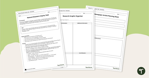
Natural Disasters Inquiry Task - Newspaper Report
Use our 3-page graphic organiser to research and report on a significant natural disaster from the last 100 years.
- Plus Plan
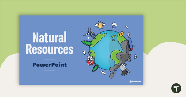
Introduction to Natural Resources PowerPoint
A teaching presentation that explores what natural resources are and where they come from.
- Plus Plan
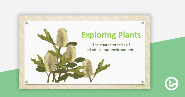
Exploring Plants PowerPoint
A 14 slide editable PowerPoint template exploring the characteristics of plants in our environment.
- Plus Plan
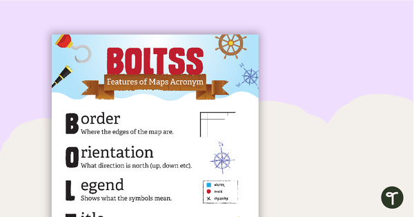
Features of Maps Posters
A set of 2 posters outlining the features of a map.
- Plus Plan
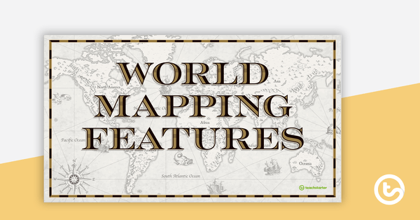
World Mapping Features – Teaching Presentation
An 18 slide PowerPoint presentation to use when teaching students about the main features of the world map.
- Plus Plan
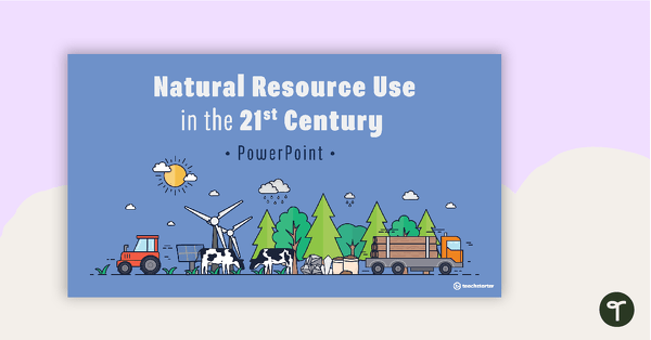
Natural Resource Use in the 21st Century PowerPoint
A 22 slide editable PowerPoint template to use when exploring how natural resources are used by humans in the 21st century.
- Plus Plan
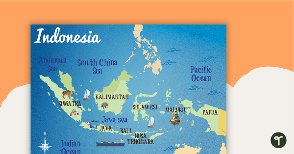
Map of Indonesia
A map showing the layout and major cities in Indonesia.
- Plus Plan
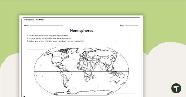
Hemispheres Worksheet
A worksheet highlighting the hemisphere, equator and country locations.
- Plus Plan
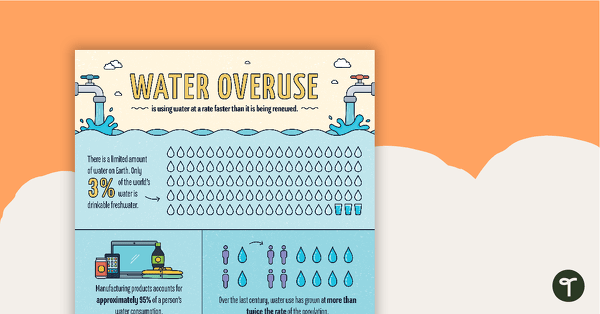
Water Overuse Infographic Poster
An infographic displaying important facts and statistics about water overuse.
- Plus Plan
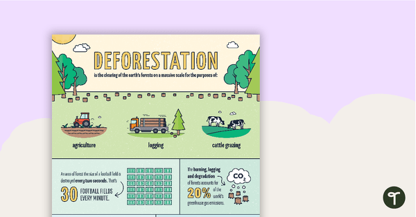
Deforestation Infographic Poster
An infographic displaying important facts and statistics about deforestation.
- Plus Plan
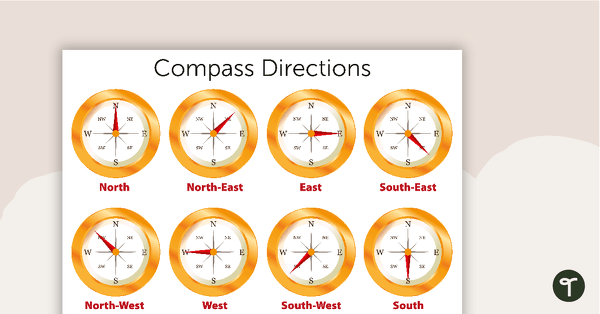
Compass Directions Poster
A poster displaying the primary compass directions.
- Plus Plan
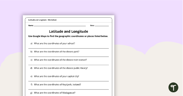
Latitude and Longitude Worksheet
Use this worksheet along with Google Maps to teach your students about longitude and latitude.
- Plus Plan
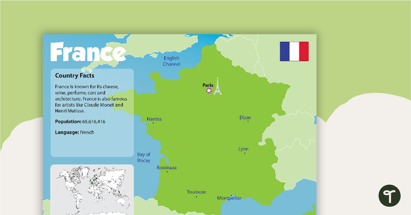
France Country Profile Poster
A poster about France – suitable for your Geography or LOTE classroom.
- Plus Plan
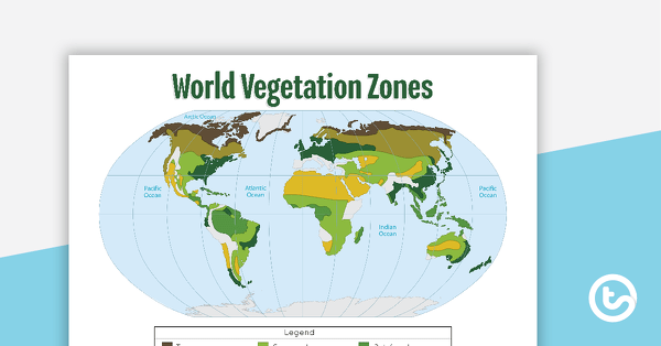
Map of the World's Vegetation Zones
A poster to display in the classroom when locating the different vegetation zones of the world.
- Plus Plan
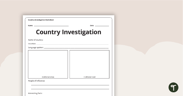
Country Investigation - Worksheet
A recording worksheet for students to use in the classroom when researching different countries and cultures.
- Plus Plan
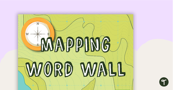
Mapping - Geography Word Wall Vocabulary
53 mapping vocabulary word wall cards.
- Plus Plan
Impacts of Floods - Title Poster
A poster to use on your natural disasters display board.
- Plus Plan
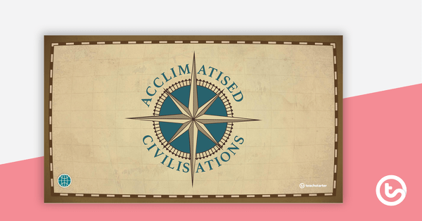
Acclimatised Civilisations – Word Wall
Content-specific vocabulary cards for a word wall based on the Acclimatised Civilisations Geography resources.
- Plus Plan
Acclimatised Civilisations – Inquiry Project
A Geography inquiry investigation for students to research a civilisation and how they adapted to their environment and landscape.
- Plus Plan
Acclimatised Civilisations: Inuit Territories – Workbook
A workbook for students to use their investigation and mapping skills, while learning about civilisations in Inuit Territories.
- Plus Plan
Acclimatised Civilisations: Egypt – Workbook
A workbook for students to use their investigation and mapping skills, while learning about civilisations in Egypt.
- Plus Plan
Acclimatised Civilisations: Australia – Workbook
A workbook for students to use their investigation and mapping skills, while learning about civilisations in Australia.
- Plus Plan

Acclimatised Civilisations: India – Workbook
A workbook for students to use their investigation and mapping skills, while learning about civilisations in India.
- Plus Plan
Acclimatised Civilisations: Greece – Workbook
A workbook for students to use their investigation and mapping skills, while learning about civilisations in Greece.
- Plus Plan
Acclimatised Civilisations: Andes Mountains – Workbook
A workbook for students to use their investigation and mapping skills, while learning about civilisations in the Andes Mountains.
- Plus Plan
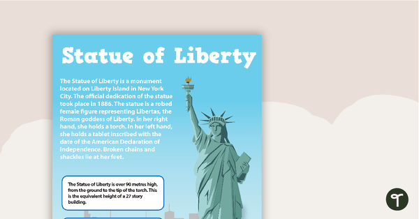
Seven US Landmarks Posters
A set of 7 posters highlighting some of the United States most famous Landmarks.
- Plus Plan
Acclimiatised Civilisations – Teaching Presentation
A Geography teaching presentation for students to learn about how different cultures adapted to different landscapes.
- Plus Plan
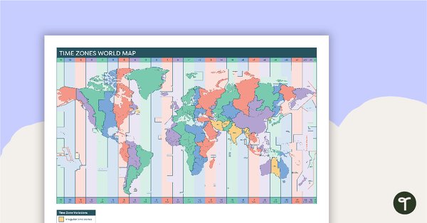
Time Zones World Map
A poster to display in the classroom when locating the different time zones of the world.
- Plus Plan
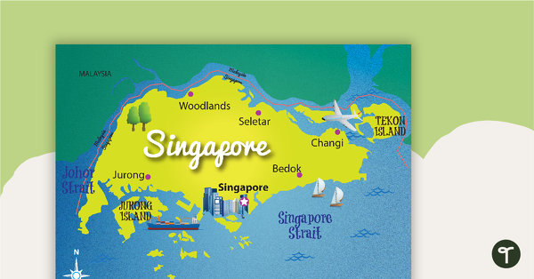
Map of Singapore
A map showing the layout and major cities in Singapore.
- Plus Plan
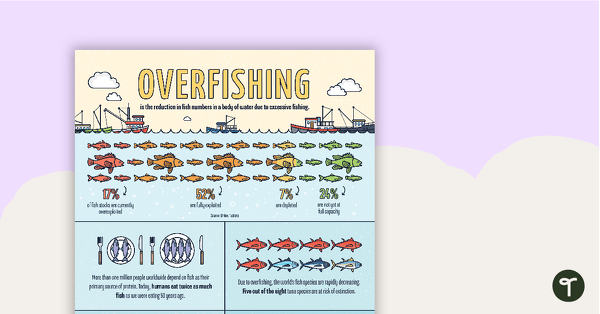
Overfishing Infographic Poster
An infographic displaying important facts and statistics about overfishing.
- Plus Plan
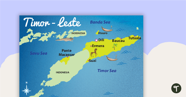
Map of Timor-Leste
A map showing the layout and major cities in Timor-Leste.
- Plus Plan
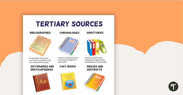
Tertiary Sources Poster (Version 2)
A poster highlighting some examples of tertiary sources.