Geography Teaching Resources for Key Stage 2 - Upper
- Plus Plan
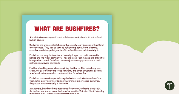
What are Bushfires? Comprehension Task
A comprehension task to use when learning about bushfires.
- Plus Plan
Place and Liveability - Geography Word Wall Vocabulary
Twenty-nine place and liveability vocabulary cards.
- Plus Plan
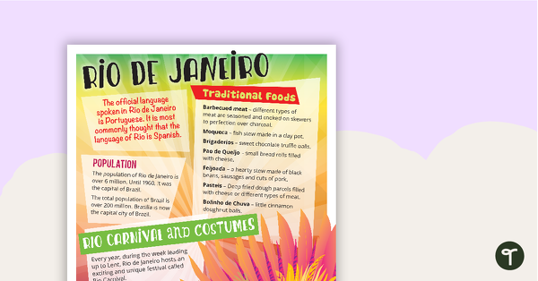
Rio de Janeiro - Comprehension Task
A comprehension task that encourages students to apply a range of comprehension skills when finding out interesting fun facts about Rio.
- Plus Plan
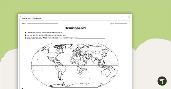
Hemispheres Worksheet
A worksheet highlighting the hemisphere, equator and country locations.
- Plus Plan
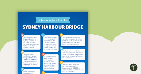
10 Fascinating Facts About the Sydney Harbour Bridge – Comprehension Worksheet
A comprehension worksheet for an article including ten facts about the Sydney Harbour Bridge in Australia.
- Plus Plan
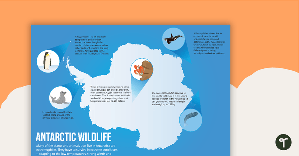
Antarctic Wildlife Poster
A poster highlighting some of the main wildlife in Antarctica.
- Plus Plan
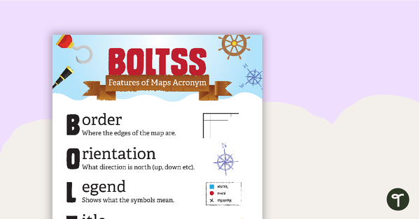
Features of Maps Posters
A set of 2 posters outlining the features of a map.
- Plus Plan
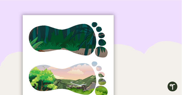
Sustainability Footprints Word Wall
6 different footprint shaped word wall cards to be used as labels or for vocabulary.
- Plus Plan
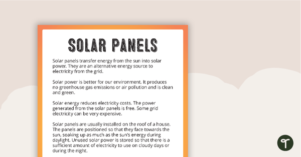
Solar Panels - Fact Sheet and Worksheet
A teaching resource to be used in the classroom when learning about sustainability and the Earth.
- Plus Plan
Exploring China Word Wall Vocabulary
Word wall cards containing China related vocabulary.
- Plus Plan
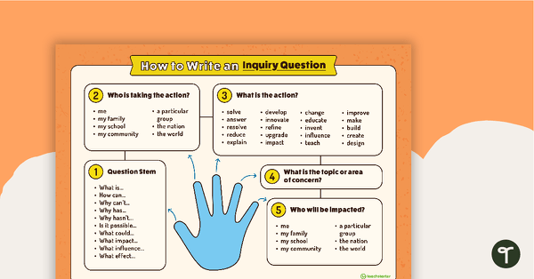
How to Write an Inquiry Question Poster
A poster demonstrating the steps involved in formulating a question for inquiry-based learning.
- Plus Plan
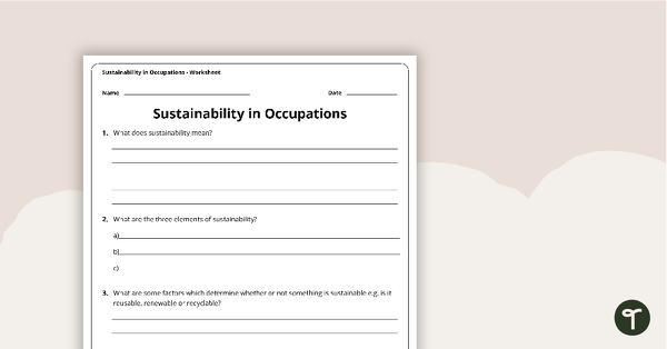
Sustainability in Occupations Worksheet
A worksheet that allows students to research sustainability factors in a variety of occupations.
- Plus Plan
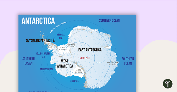
Map of Antarctica
A map showing the layout and major features of Antarctica.
- Plus Plan
Antarctica Word Wall Vocabulary
Forty-five Antarctica related vocabulary cards for a word wall.
- Plus Plan
Acclimatised Civilisations – Word Wall
Content-specific vocabulary cards for a word wall based on the Acclimatised Civilisations Geography resources.
- Plus Plan
Acclimatised Civilisations – Inquiry Project
A Geography inquiry investigation for students to research a civilisation and how they adapted to their environment and landscape.
- Plus Plan
Acclimatised Civilisations: Inuit Territories – Workbook
A workbook for students to use their investigation and mapping skills, while learning about civilisations in Inuit Territories.
- Plus Plan
Acclimatised Civilisations: Egypt – Workbook
A workbook for students to use their investigation and mapping skills, while learning about civilisations in Egypt.
- Plus Plan
Acclimatised Civilisations: Australia – Workbook
A workbook for students to use their investigation and mapping skills, while learning about civilisations in Australia.
- Plus Plan

Acclimatised Civilisations: India – Workbook
A workbook for students to use their investigation and mapping skills, while learning about civilisations in India.
- Plus Plan
Acclimatised Civilisations: Greece – Workbook
A workbook for students to use their investigation and mapping skills, while learning about civilisations in Greece.
- Plus Plan
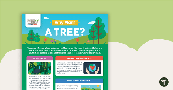
National Tree Day – Why Plant a Tree? Infographic
An infographic poster about the importance of trees in celebration of National Tree Day.
- Plus Plan
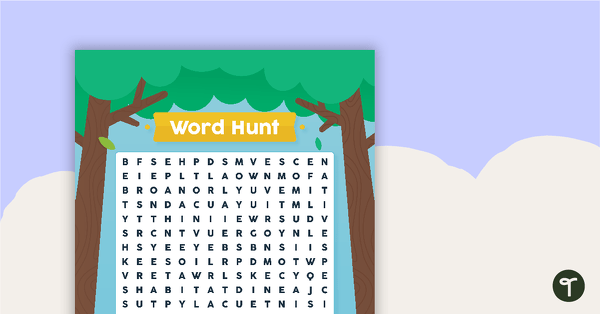
National Tree Day – Word Hunt
A National Tree Day word search to use in the classroom.
- Plus Plan
Acclimatised Civilisations: Andes Mountains – Workbook
A workbook for students to use their investigation and mapping skills, while learning about civilisations in the Andes Mountains.
- Plus Plan
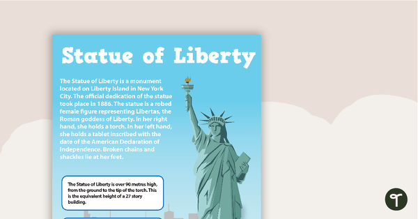
Seven US Landmarks Posters
A set of 7 posters highlighting some of the United States most famous Landmarks.
- Plus Plan
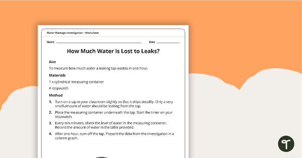
Water Wastage Investigation - How Much Water is Lost to Leaks?
A practical investigation related to sustainable resource use.
- Plus Plan
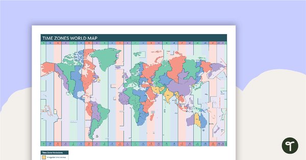
Time Zones World Map
A poster to display in the classroom when locating the different time zones of the world.
- Plus Plan
World Mapping Features – Teaching Presentation
An 18 slide PowerPoint presentation to use when teaching students about the main features of the world map.
- Plus Plan
Natural Resource Use in the 21st Century PowerPoint
A 22 slide editable PowerPoint template to use when exploring how natural resources are used by humans in the 21st century.
- Plus Plan
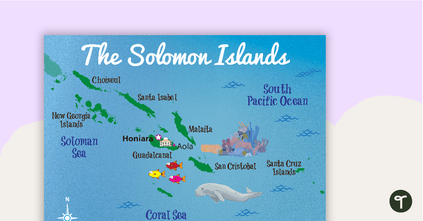
Map of The Solomon Islands
A map showing the layout and major cities in The Solomon Islands.
- Plus Plan
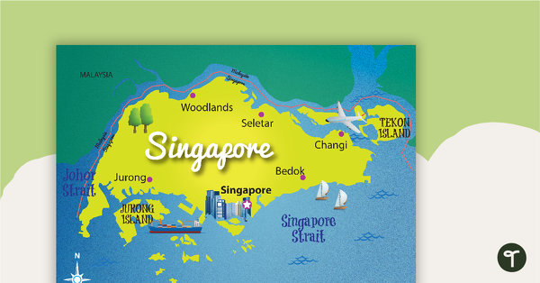
Map of Singapore
A map showing the layout and major cities in Singapore.
- Plus Plan
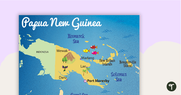
Map of Papua New Guinea
A map showing the layout and major cities in Papua New Guinea.