Geography Teaching Resources
A comprehensive collection of Geography teaching resources. This collection includes a large selection of educational resources such as posters, worksheets, lesson plans, assessment pieces, inquiry tasks, comprehension texts and more! Within this Geography category, you will find resources that support the teaching of the sub-strands which includes countries, environments, flags, landmarks, maps, sustainability, environmental impact and recycling.
- Plus Plan
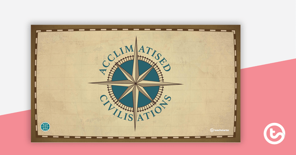
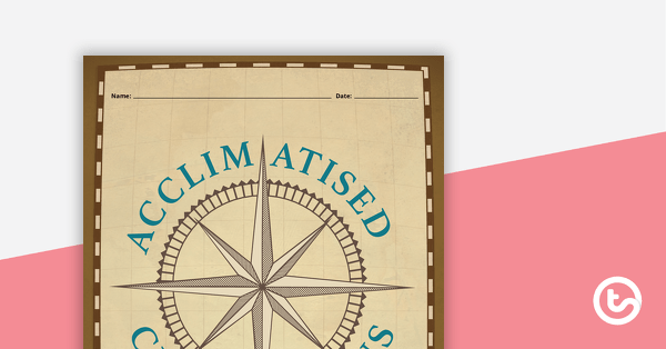
Acclimiatised Civilisations – Teaching Presentation
A Geography teaching presentation for students to learn about how different cultures adapted to different landscapes.
- Plus Plan
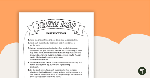
Pirate Mapping Skills Worksheet
A worksheet to use when learning about basic mapping skills.
- Plus Plan
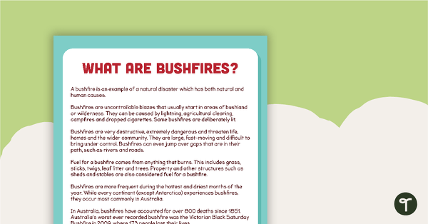
What are Bushfires? Comprehension Task
A comprehension task to use when learning about bushfires.
- Plus Plan
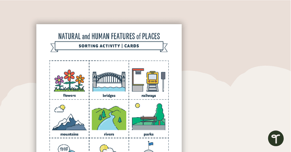
Natural and Human Features of Places - Sorting Activity
A sorting activity to help students identify the natural and human features of environments.
- Free Plan
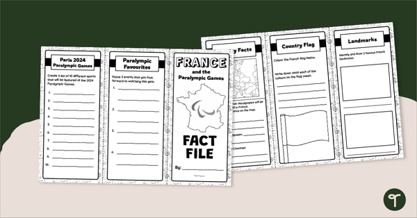
France Fact File – Brochure Template
Explore the wonders of France with this tri-fold brochure template perfect for developing your students' research and presentation skills.
- Plus Plan
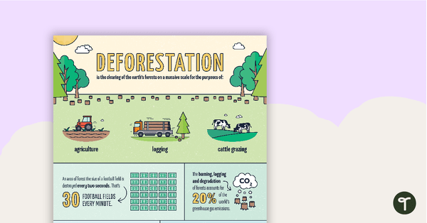
Deforestation Infographic Poster
An infographic displaying important facts and statistics about deforestation.
- Plus Plan
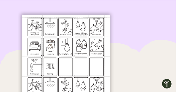
Environmental Awareness Flip Book
Use this flip book to build awareness of actions that are good and bad for the environment.
- Plus Plan
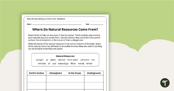
Where Do Natural Resources Come From? Worksheet
A worksheet that explores where natural resources come from.
- Plus Plan
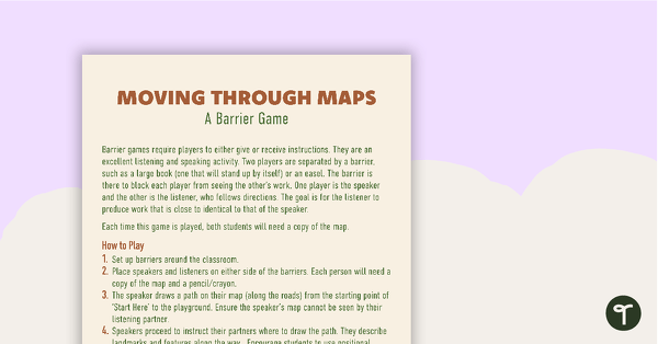
Moving Through Maps Game
An activity for students to use when learning about basic mapping skills.
- Plus Plan
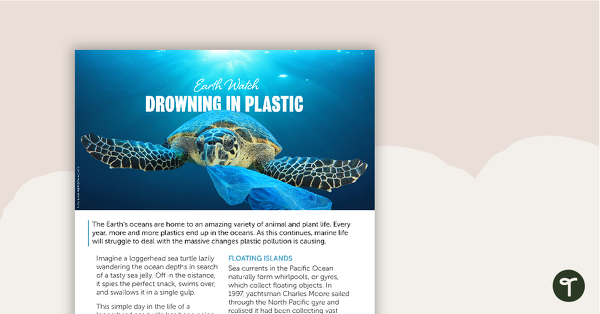
Earth Watch – Drowning in Plastic Worksheet
A comprehension worksheet for a magazine article about plastic pollution in our oceans.
- Plus Plan
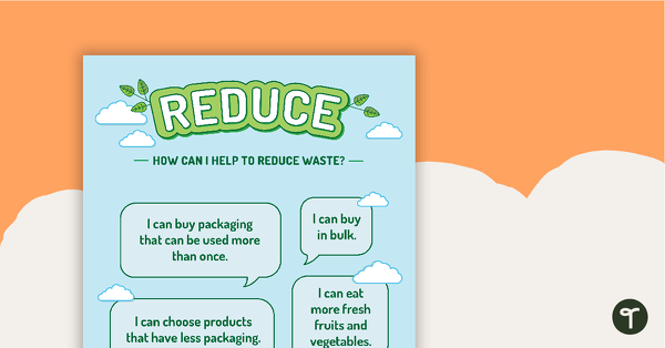
Reduce, Reuse, Recycle, Rethink and Repair Posters
A set of 5 posters explaining the concepts behind reducing, reusing, recycling, rethinking and repairing waste.
- Plus Plan
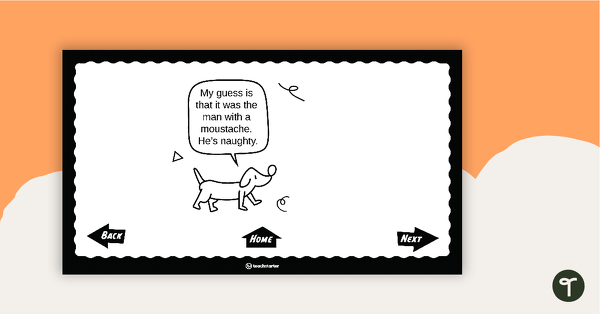
Mini-Mystery – Who Broke the Window? – Interactive PowerPoint
An interactive mini-mystery that is sure to be a SMASH!
- Plus Plan
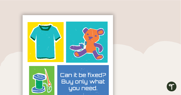
Sustainability Quote Poster Number 1
"Can it be fixed? Buy only what you need."
- Plus Plan

Sustainability Quote Poster Number 5
"How wonderful it is that nobody need wait a single moment before starting to improve the world." - Anne Frank
- Plus Plan
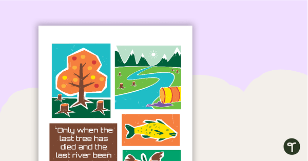
Sustainability Quote Poster Number 9
"Only when the last tree has died and the last river been poisoned and the last fish been caught will we realise we cannot eat money." - Cree Indian Proverb
- Plus Plan
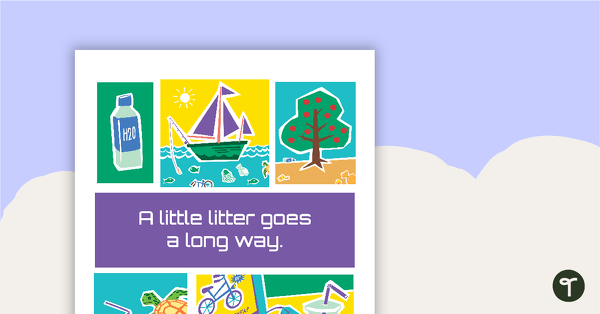
Sustainability Quote Poster Number 3
"A little litter goes a long way."
- Plus Plan
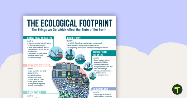
The Ecological Footprint Poster
An infographic poster showing the implications of The Ecological Footprint.
- Plus Plan
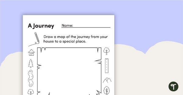
Mapping A Journey – Worksheet
A worksheet that allows students to create a map of a journey when exploring local places.
- Plus Plan
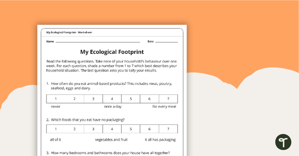
My Ecological Footprint Worksheet
A worksheet which will have the students evaluate their ecological footprint and compare it with the class.
- Plus Plan
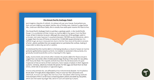
Comprehension - The Great Pacific Garbage Patch
A comprehension activity about the Great Pacific Garbage Patch.
- Plus Plan
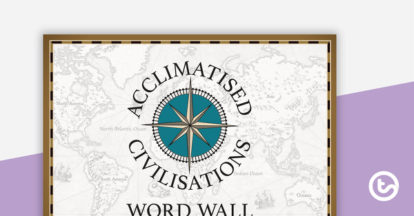
Acclimatised Civilisations – Word Wall
Content-specific vocabulary cards for a word wall based on the Acclimatised Civilisations Geography resources.
- Plus Plan
Acclimatised Civilisations – Inquiry Project
A Geography inquiry investigation for students to research a civilisation and how they adapted to their environment and landscape.
- Plus Plan
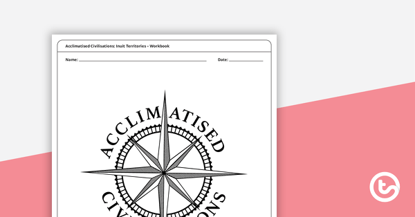
Acclimatised Civilisations: Inuit Territories – Workbook
A workbook for students to use their investigation and mapping skills, while learning about civilisations in Inuit Territories.
- Plus Plan
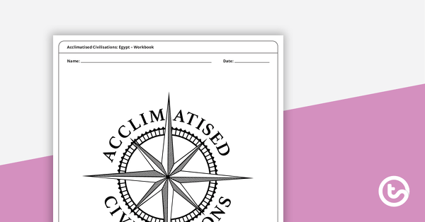
Acclimatised Civilisations: Egypt – Workbook
A workbook for students to use their investigation and mapping skills, while learning about civilisations in Egypt.
- Plus Plan
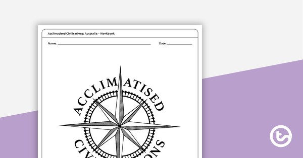
Acclimatised Civilisations: Australia – Workbook
A workbook for students to use their investigation and mapping skills, while learning about civilisations in Australia.
- Plus Plan

Acclimatised Civilisations: India – Workbook
A workbook for students to use their investigation and mapping skills, while learning about civilisations in India.
- Plus Plan
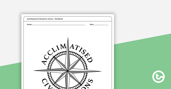
Acclimatised Civilisations: Greece – Workbook
A workbook for students to use their investigation and mapping skills, while learning about civilisations in Greece.
- Plus Plan
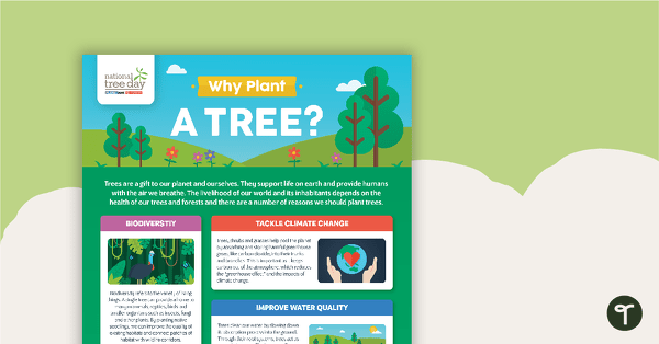
National Tree Day – Why Plant a Tree? Infographic
An infographic poster about the importance of trees in celebration of National Tree Day.
- Plus Plan
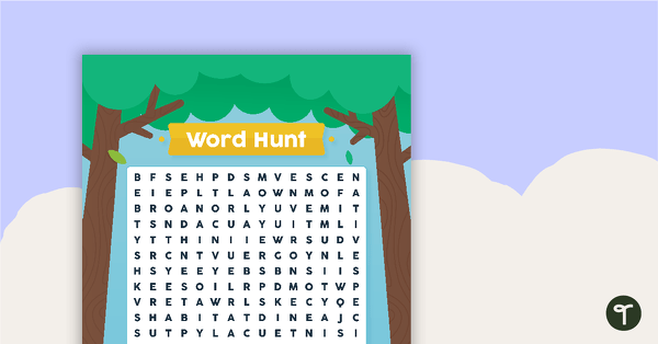
National Tree Day – Word Hunt
A National Tree Day word search to use in the classroom.
- Plus Plan
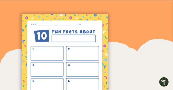
'10 Fun Facts' Template
A template for younger students to use when conducting and recording research.
- Plus Plan
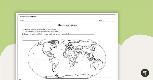
Hemispheres Worksheet
A worksheet highlighting the hemisphere, equator and country locations.
- Plus Plan
Acclimatised Civilisations: Andes Mountains – Workbook
A workbook for students to use their investigation and mapping skills, while learning about civilisations in the Andes Mountains.