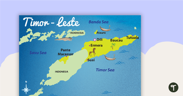
A map showing the layout and major cities in Timor-Leste.
Use this map when studying Timor-Leste.
Updated: 9 March 2015. Now includes a version with East Timor label.
Updated: 02 Dec 2016
A map showing the layout and major cities in Timor-Leste.
Non-Editable: PDF
Pages: 2 Pages
Years: F - 7
Pupils should develop knowledge about the world, the United Kingdom and their locality. They should understand basic subject-specific vocabulary relating to human and physical geography and begin to use geographical skills, including first-hand obser...
Pupils should extend their knowledge and understanding beyond the local area to include the United Kingdom and Europe, North and South America. This will include the location and characteristics of a range of the world's most significant human and ...
Pupils should extend their knowledge and understanding beyond the local area to include the United Kingdom and Europe, North and South America. This will include the location and characteristics of a range of the world's most significant human and ...
A map showing the layout and major cities in Timor-Leste.
Use this map when studying Timor-Leste.
Updated: 9 March 2015. Now includes a version with East Timor label.
Pupils should develop knowledge about the world, the United Kingdom and their locality. They should understand basic subject-specific vocabulary relating to human and physical geography and begin to use geographical skills, including first-hand obser...
Pupils should extend their knowledge and understanding beyond the local area to include the United Kingdom and Europe, North and South America. This will include the location and characteristics of a range of the world's most significant human and ...
Pupils should extend their knowledge and understanding beyond the local area to include the United Kingdom and Europe, North and South America. This will include the location and characteristics of a range of the world's most significant human and ...

We create premium quality, downloadable teaching resources for primary/elementary school teachers that make classrooms buzz!
Would you like something changed or customised on this resource? While our team makes every effort to complete change suggestions, we can't guarantee that every change will be completed.
Did you spot an error on this resource? Please let us know and we will fix it shortly.
Are you having trouble downloading or viewing this resource? Please try the following steps:
If you are still having difficulty, please visit the Teach Starter Help Desk or contact us .
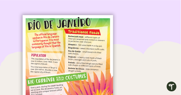
A comprehension task that encourages students to apply a range of comprehension skills when finding out interesting fun facts about Rio.
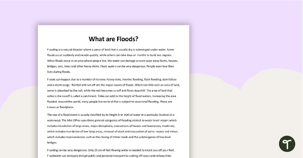
A comprehension task to use when learning about flooding.
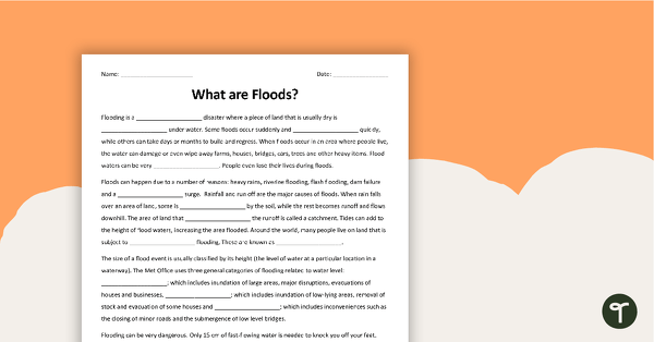
A cloze worksheet about floods.
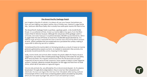
A comprehension activity about the Great Pacific Garbage Patch.
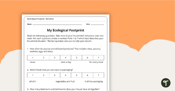
A worksheet which will have the students evaluate their ecological footprint and compare it with the class.
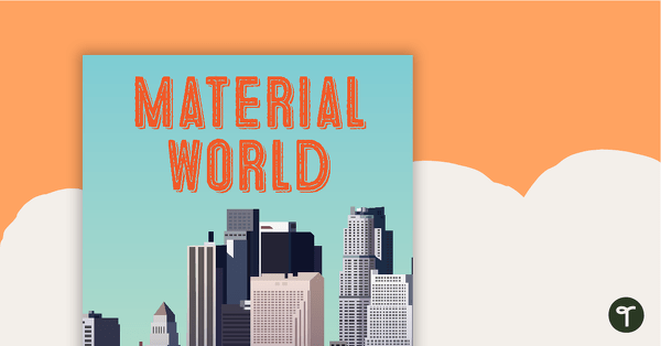
33 pages of worksheets, posters and classroom displays about about natural and man-made materials
Ten black and white worksheets with a selection of flags from the Oceania region.
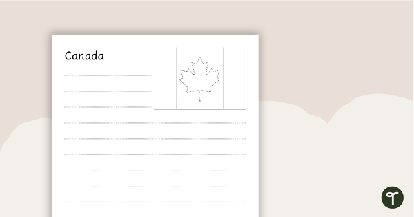
Seventeen black and white worksheets with flags from North America.
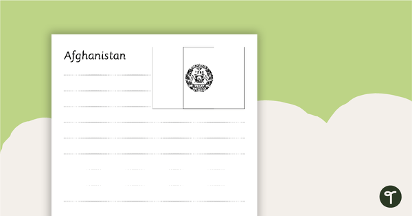
Thirty-seven black and white worksheets with a selection of flags from Asia.
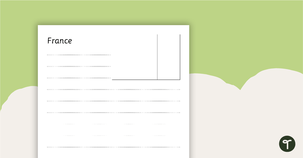
Twenty-seven black and white worksheets with a selection of flags from Europe.
0 Comments
Write a review to help other teachers and parents like yourself. If you'd like to request a change to this resource, or report an error, select the corresponding tab above.