Geography Teaching Resources for Year 6
- Plus Plan
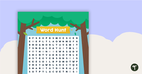
National Tree Day – Word Hunt
A National Tree Day word search to use in the classroom.
- Plus Plan
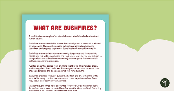
What are Bushfires? Comprehension Task
A comprehension task to use when learning about bushfires.
- Plus Plan

Geographic Landforms Features Poster and Worksheet
A poster showing the different types of geographic features of Earth.
- Plus Plan
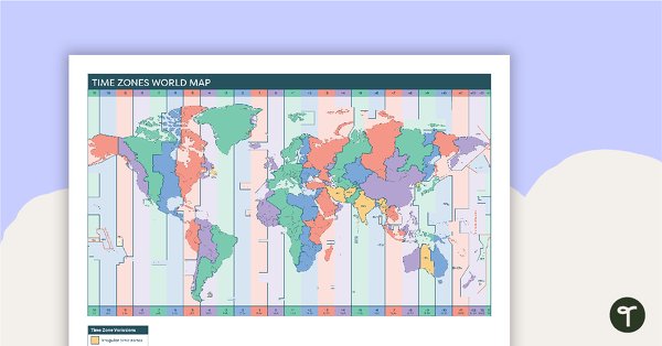
Time Zones World Map
A poster to display in the classroom when locating the different time zones of the world.
- Plus Plan
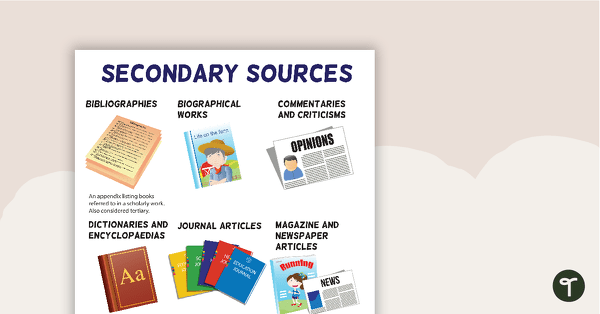
Secondary Sources Poster (Version 2)
A poster highlighting some examples of secondary sources.
- Plus Plan
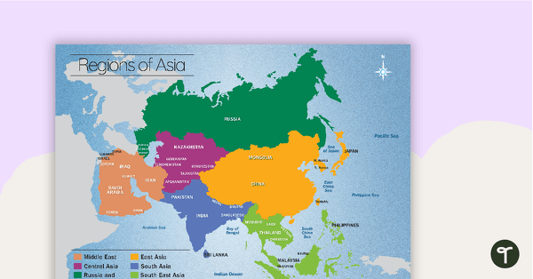
Map of the Regions of Asia
A map showing the layout, regions and major countries of Asia.
- Plus Plan
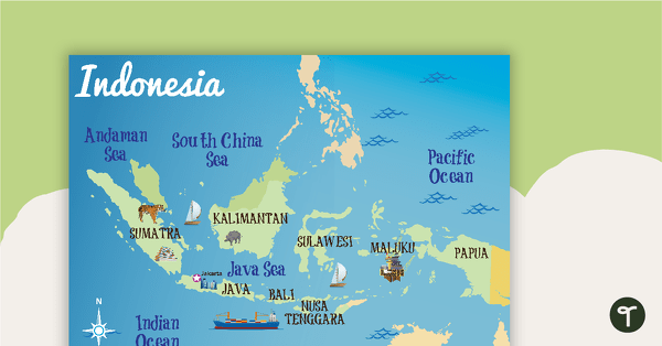
Indonesia Profile Poster Pack
A pack of 10 posters about Indonesia – suitable for your Geography or LOTE classroom.
- Plus Plan
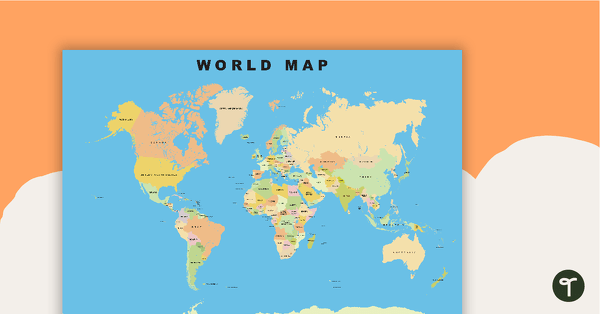
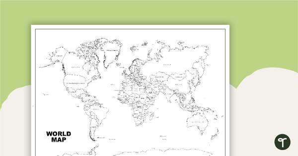
World Map
Show your students the map of the world with countries and bodies of water.
- Plus Plan
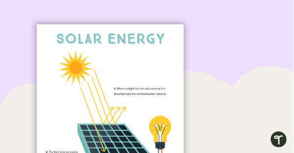
Solar Energy Poster
A poster that explains solar energy.
- Plus Plan
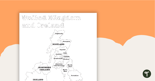
Map of the United Kingdom and Ireland - BW
A map showing the regions of the United Kingdom and Ireland.
- Plus Plan
World Map (Black and White Version)
Black and white world map showing countries, oceans and seas.
- Plus Plan

Waste Management Investigation - How Much Waste Do We Throw Away?
A practical investigation related to sustainable waste management.
- Plus Plan
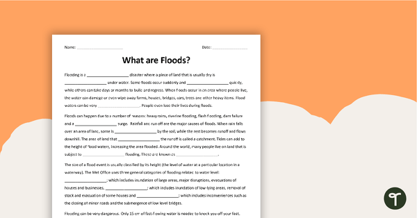
What are Floods? Cloze Worksheet
A cloze worksheet about floods.
- Plus Plan
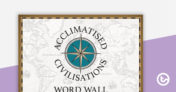
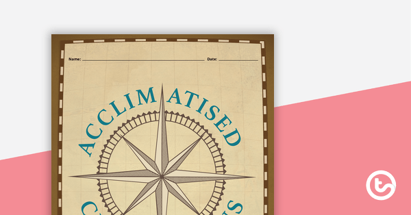
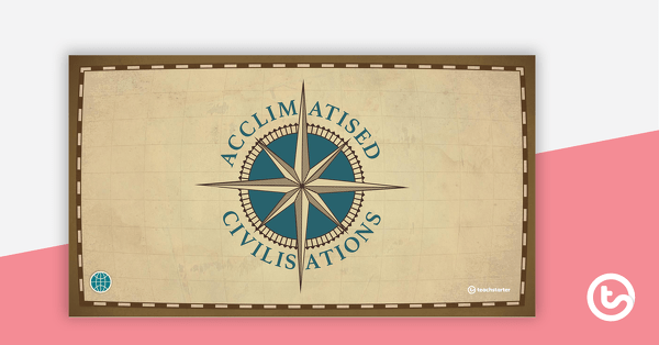
Acclimatised Civilisations – Word Wall
Content-specific vocabulary cards for a word wall based on the Acclimatised Civilisations Geography resources.
- Plus Plan
Acclimatised Civilisations – Inquiry Project
A Geography inquiry investigation for students to research a civilisation and how they adapted to their environment and landscape.
- Plus Plan
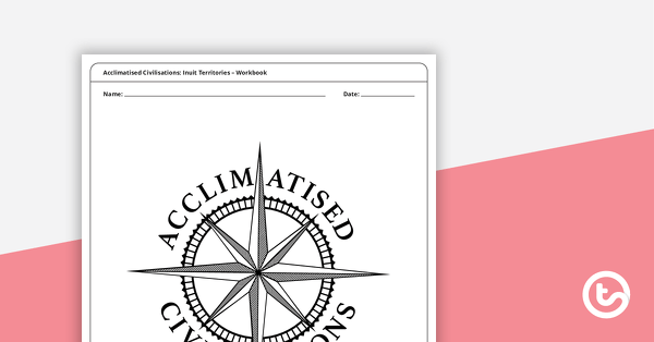
Acclimatised Civilisations: Inuit Territories – Workbook
A workbook for students to use their investigation and mapping skills, while learning about civilisations in Inuit Territories.
- Plus Plan
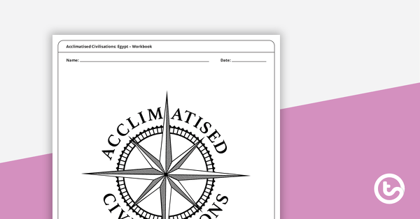
Acclimatised Civilisations: Egypt – Workbook
A workbook for students to use their investigation and mapping skills, while learning about civilisations in Egypt.
- Plus Plan
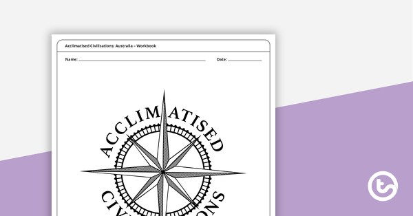
Acclimatised Civilisations: Australia – Workbook
A workbook for students to use their investigation and mapping skills, while learning about civilisations in Australia.
- Plus Plan

Acclimatised Civilisations: India – Workbook
A workbook for students to use their investigation and mapping skills, while learning about civilisations in India.
- Plus Plan
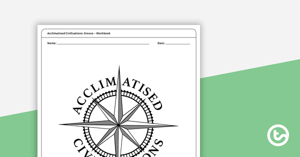
Acclimatised Civilisations: Greece – Workbook
A workbook for students to use their investigation and mapping skills, while learning about civilisations in Greece.
- Plus Plan
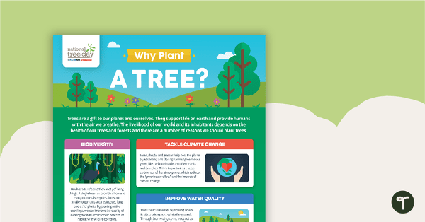
National Tree Day – Why Plant a Tree? Infographic
An infographic poster about the importance of trees in celebration of National Tree Day.
- Plus Plan
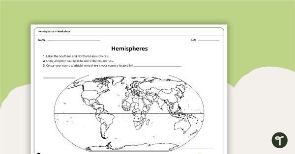
Hemispheres Worksheet
A worksheet highlighting the hemisphere, equator and country locations.
- Plus Plan
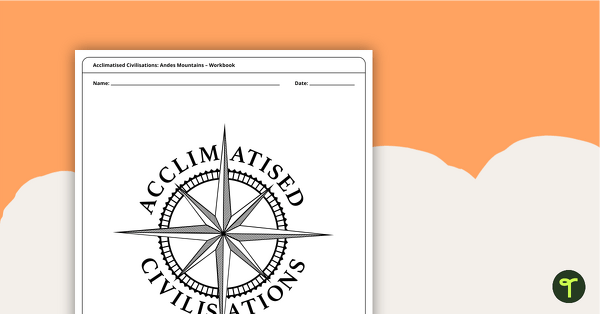
Acclimatised Civilisations: Andes Mountains – Workbook
A workbook for students to use their investigation and mapping skills, while learning about civilisations in the Andes Mountains.
- Plus Plan
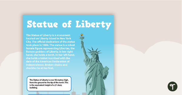
Seven US Landmarks Posters
A set of 7 posters highlighting some of the United States most famous Landmarks.
- Plus Plan
Acclimiatised Civilisations – Teaching Presentation
A Geography teaching presentation for students to learn about how different cultures adapted to different landscapes.
- Plus Plan
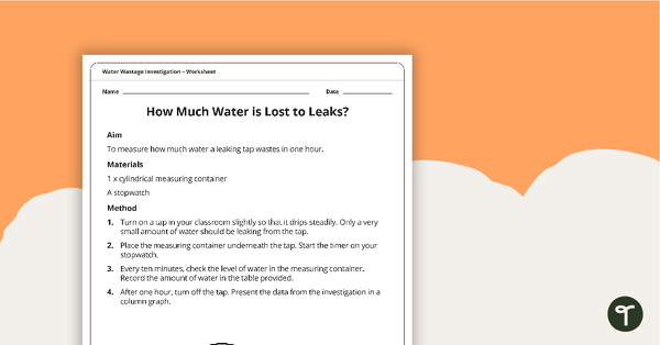
Water Wastage Investigation - How Much Water is Lost to Leaks?
A practical investigation related to sustainable resource use.
- Plus Plan
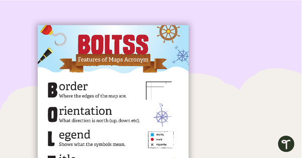
Features of Maps Posters
A set of 2 posters outlining the features of a map.
- Plus Plan
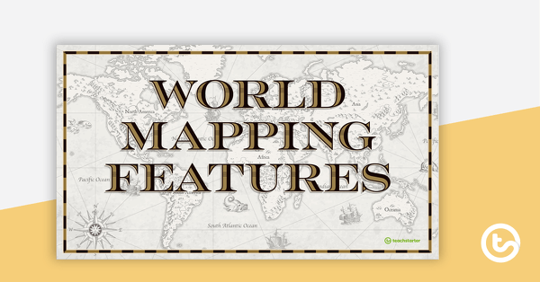
World Mapping Features – Teaching Presentation
An 18 slide PowerPoint presentation to use when teaching students about the main features of the world map.
- Plus Plan
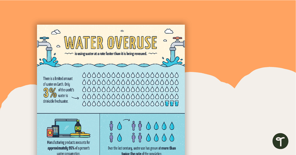
Water Overuse Infographic Poster
An infographic displaying important facts and statistics about water overuse.
- Plus Plan
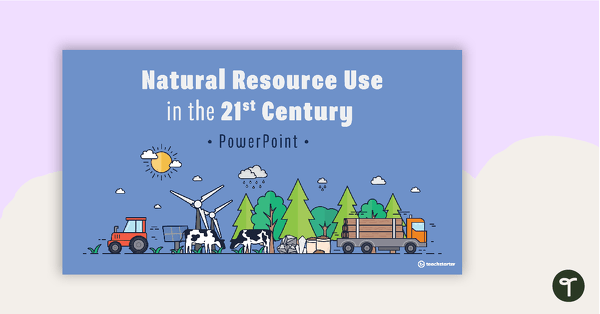
Natural Resource Use in the 21st Century PowerPoint
A 22 slide editable PowerPoint template to use when exploring how natural resources are used by humans in the 21st century.
- Plus Plan
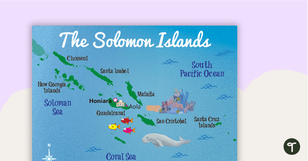
Map of The Solomon Islands
A map showing the layout and major cities in The Solomon Islands.
- Plus Plan
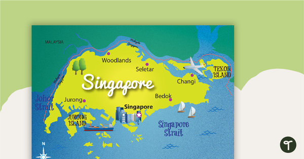
Map of Singapore
A map showing the layout and major cities in Singapore.