Results for ‛Interpreting Maps’
100 teaching resources
Interpreting Maps
Sort:
Attribute
Price
Format
- Plus Plan
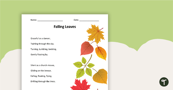
Interpreting Figurative Language - Comprehension Task
- Plus Plan

Pirate Page Border - Map
- Plus Plan
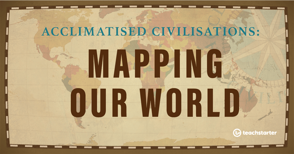
Mapping Our World
- Plus Plan

Interpreting the Night Sky
- Plus Plan

Comprehension Strategy Teaching Resource Pack - Interpreting Figurative Language
- Plus Plan
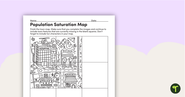
Population Saturation – Worksheet
- Plus Plan
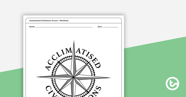
Acclimatised Civilisations: Greece – Workbook
- Plus Plan

Where is Rio? - Worksheet
- Plus Plan
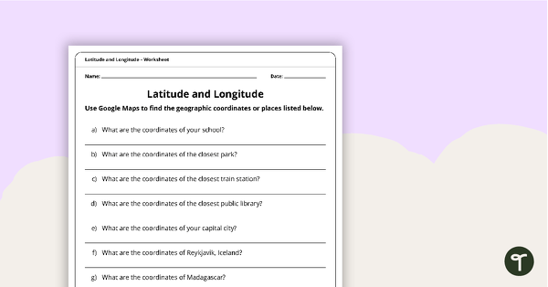
Latitude and Longitude Worksheet
- Plus Plan
Acclimatised Civilisations: Australia – Workbook
- Plus Plan
Acclimatised Civilisations: Inuit Territories – Workbook
- Plus Plan
Acclimatised Civilisations: Egypt – Workbook
- Plus Plan

Acclimatised Civilisations: India – Workbook
- Plus Plan
Acclimatised Civilisations: Andes Mountains – Workbook
- Plus Plan

Stick Person Graphic Organiser
- Plus Plan
Draw a Town with 2D Shapes
- Plus Plan

Five Wonders Theme Park: Flying Visit – Project
- Plus Plan
Coding Robot Zoo Mat
- Plus Plan
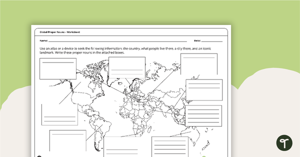
Global Proper Nouns - Worksheet
- Plus Plan
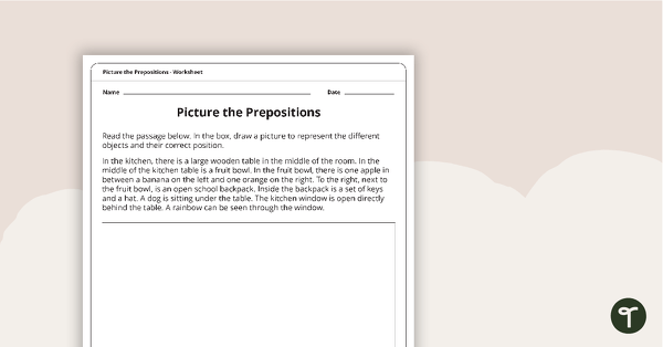
Picture the Preposition Worksheet
- Plus Plan

Introduction to Algorithms
- Plus Plan

Our Community
-

Three in One Geometry Fun (Build a Town Geometry Activity)
- Plus Plan
Acclimiatised Civilisations – Teaching Presentation
- Plus Plan
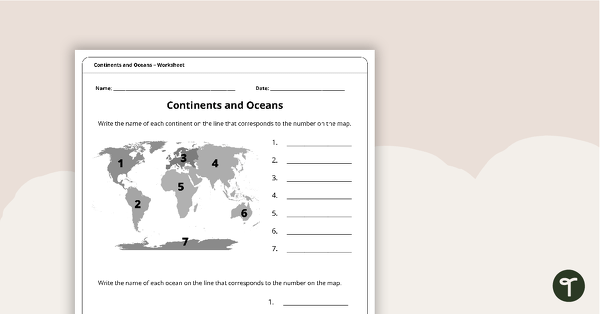
Continents and Oceans Worksheet
- Plus Plan
Acclimatised Civilisations – Word Wall
- Plus Plan
Acclimatised Civilisations – Inquiry Project
- Plus Plan
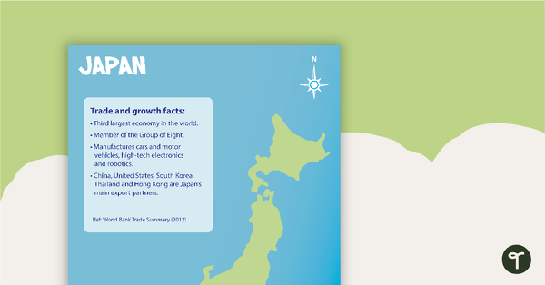
Japan Profile Poster Pack
- Plus Plan
Latitude and Longitude Banners
- Plus Plan
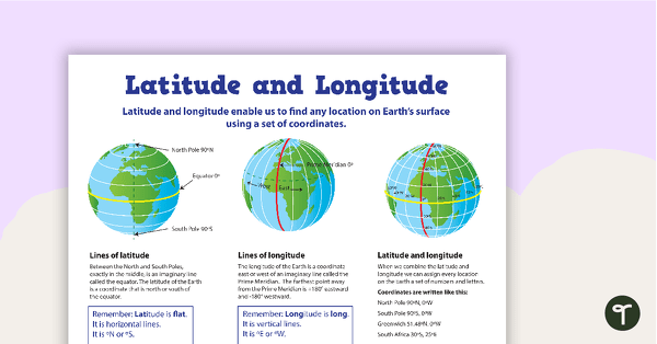
Latitude and Longitude Poster
- Plus Plan
Time Zone Locations Around the World Display
- Plus Plan
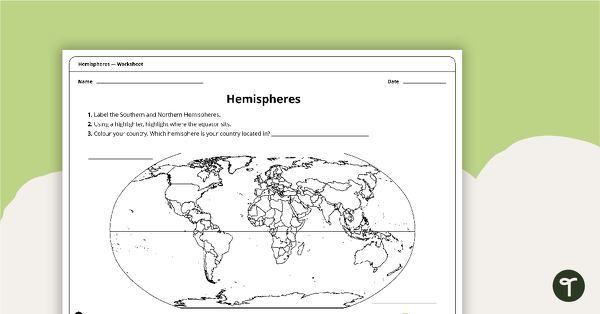
Hemispheres Worksheet
- Plus Plan
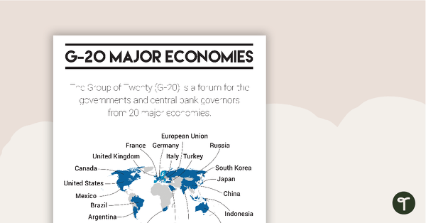
G-20 Major Economies Overview Poster
- Plus Plan
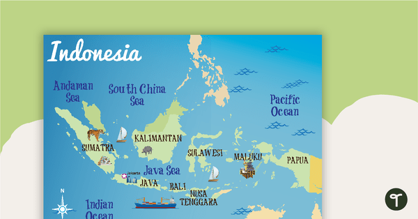
Indonesia Profile Poster Pack
- Plus Plan
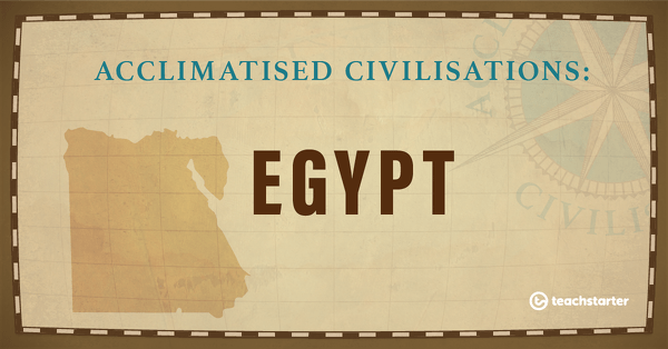
Egypt
- Plus Plan
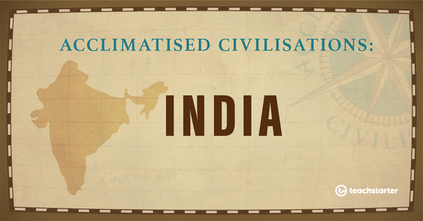
India
- Plus Plan
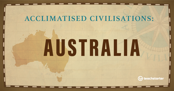
Australia
- Plus Plan
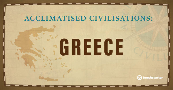
Greece
- Plus Plan
The Andes Mountains
- Plus Plan
Assessment: Acclimatised Civilisations – Inquiry Project