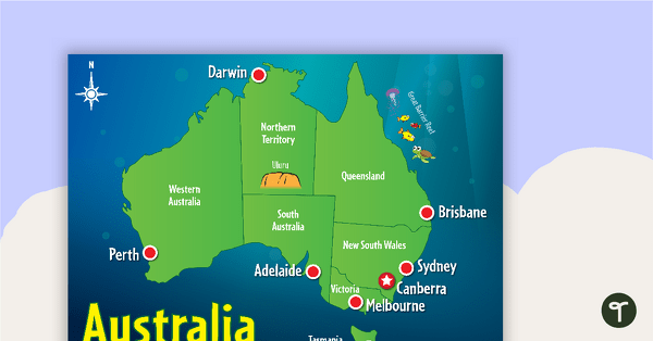
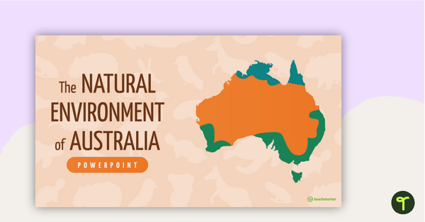
Explore the continent of Australia with a map showing each capital city and some of the most famous landmarks.
Explore Australia’s States, Territories and Capital Cities
Are you exploring the vast southern continent of Australia with your students? You’re going to need a map, then!
Use this colourful map of Australia to help your students become more familiar with the natural and human features of this diverse continent.
Multiple Uses for This Map of Australia
This map of Australia makes a great asset to your Geography lessons and can be used in a multitude of ways in your classroom. Here are some suggestions:
Explore location and position as a whole-class activity
This versatile Australia map can be projected onto your interactive whiteboard for a paperless lesson or class review session. Use the compass rose to explore the position and direction of the capital cities in relation to each other, asking questions such as:
- In what direction is Perth from Sydney?
- Off which coast of Australia will you find the Great Barrier Reef?
- On which coastline of Australia is Darwin located?
Create a progressive map of Australia
At the beginning of a unit of work on Australia, provide students with their own printed copy of the black and white version of the Australia map. During the course of your unit of work, have students add more and more detail to their maps. They could add features such as:
- regional centres
- major rivers
- mountain ranges
- deserts
- rainforests
- other key landmarks.
Tips for Scaffolding and Extention
In any classroom, there is a multitude of learning needs that must be catered for in every single lesson! We’re here to help with some tips and tricks that may help you differentiate the application of this teaching resource:
- Scaffolding Tips: Some students may find the precise nature of mapping difficult… and that’s okay! Support them by allowing them to access an atlas or digital mapping tool while completing the activity. Completing mapping tasks in a small group can also make students feel more supported and confident in their learning.
- Extension Tips: For those students who are confident in their geographical skills, why not fine-tune their mapping skills by having them add additional map features to their map? For example, students could apply a colour-coding system for various locations or features, then add these to a legend or key.
Download This Map of Australia Poster
Use the dropdown menu next to the Download button to access the full-colour or the black-and-white PDF.

The second page should be in blank for the students to complete
Hey, there, Kelsey! I found this resource you might like to use for your students to fill in the locations on: https://www.teachstarter.com/au/teaching-resource/australian-map-sort/ Have a great week!