Geography Teaching Resources
- Plus Plan
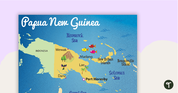
Map of Papua New Guinea
A map showing the layout and major cities in Papua New Guinea.
- Plus Plan
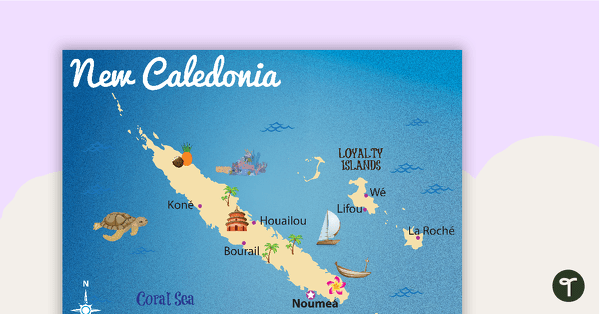
Map of New Caledonia
A map showing the layout and major cities in New Caledonia.
- Plus Plan
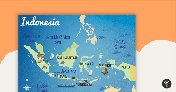
Map of Indonesia
A map showing the layout and major cities in Indonesia.
- Plus Plan
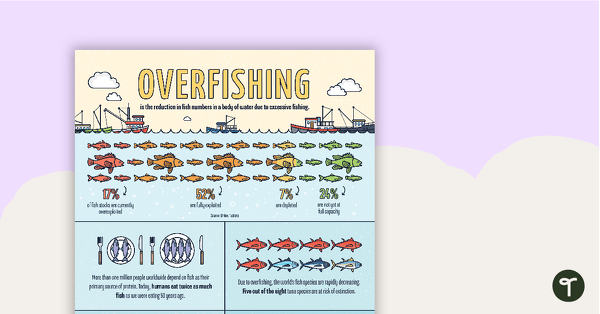
Overfishing Infographic Poster
An infographic displaying important facts and statistics about overfishing.
- Plus Plan
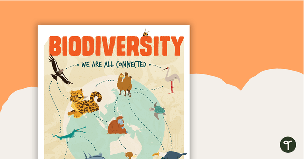
Biodiversity Poster
A poster to help your students explore the topic of biodiversity.
- Plus Plan
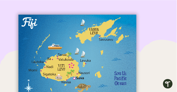
Map of Fiji
A map showing the layout and major cities in Fiji.
- Plus Plan
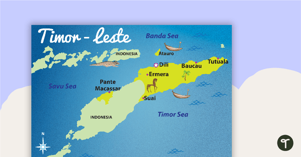
Map of Timor-Leste
A map showing the layout and major cities in Timor-Leste.
- Plus Plan
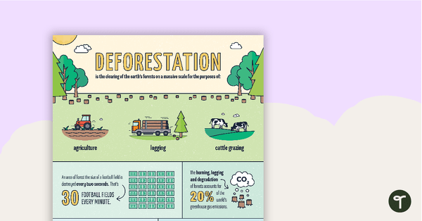
Deforestation Infographic Poster
An infographic displaying important facts and statistics about deforestation.
- Plus Plan
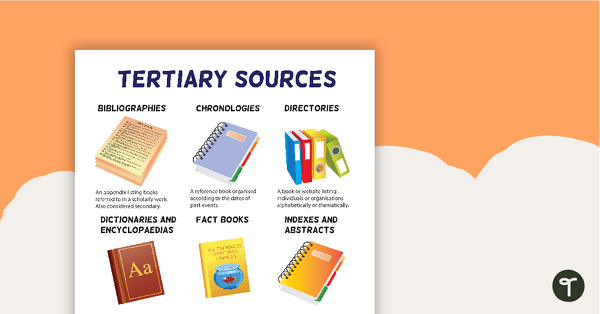
Tertiary Sources Poster (Version 2)
A poster highlighting some examples of tertiary sources.
- Plus Plan
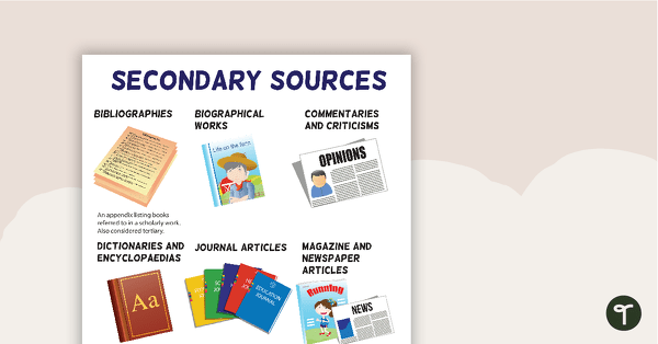
Secondary Sources Poster (Version 2)
A poster highlighting some examples of secondary sources.
- Plus Plan
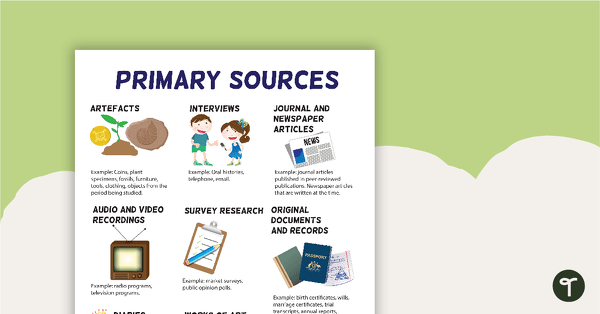
Primary Sources Poster (Version 2)
A poster highlighting some examples of primary sources.
- Plus Plan
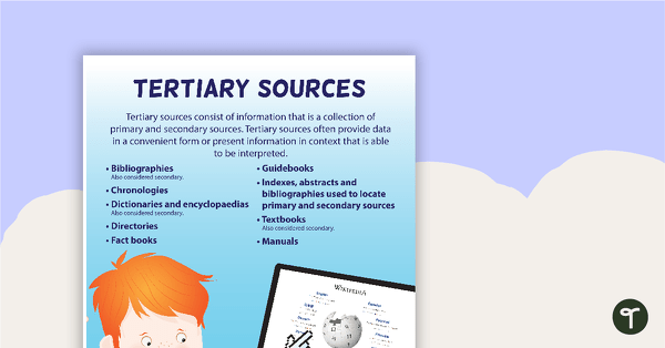
Tertiary Sources Poster
A poster providing the definition and some examples of tertiary sources.
- Plus Plan
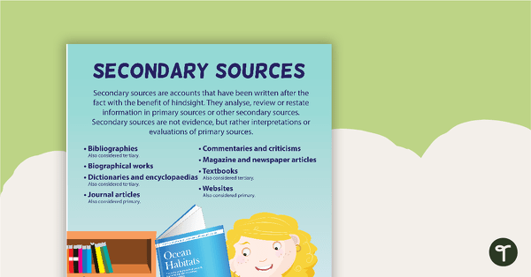
Secondary Sources Poster
A poster providing the definition and some examples of secondary sources.
- Plus Plan
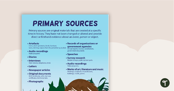
Primary Sources Poster
A poster providing the definition and some examples of primary sources.
- Plus Plan
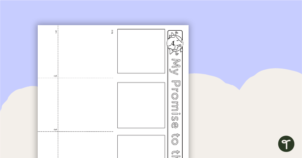
My Promise to the Earth Student Template
A template for students to identify what they can do to help save the environment.
- Plus Plan
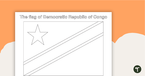
African Flags Worksheets - BW
Eight black and white worksheets with flags from Africa.
- Plus Plan
African Flags - BW
Eight black and white flags from Africa.
- Plus Plan
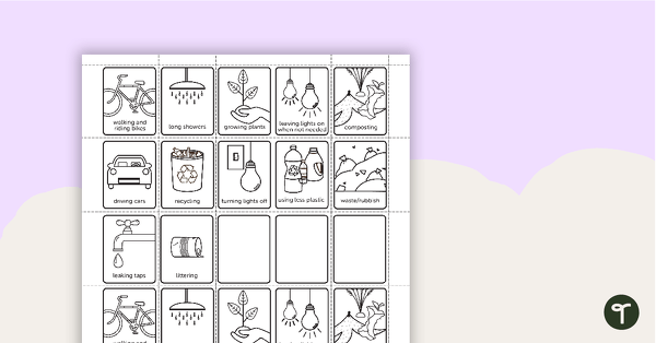
Environmental Awareness Flip Book
Use this flip book to build awareness of actions that are good and bad for the environment.
- Plus Plan
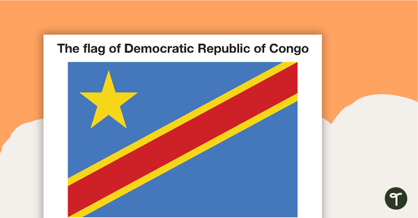
African Flags - Colour
Eight coloured flags from Africa.
- Plus Plan
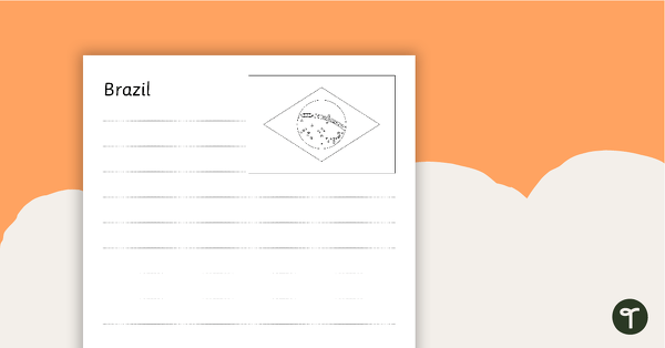
South American Flags Worksheets - BW
Fourteen black and white worksheets with flags from South America.
- Plus Plan
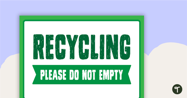
General Waste, Recycling, Soft Plastics and Compost Posters
Posters to display in your classroom showing the different waste solutions.
- Plus Plan
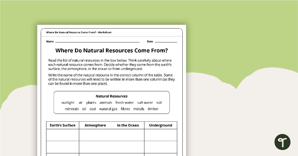
Where Do Natural Resources Come From? Worksheet
A worksheet that explores where natural resources come from.
- Plus Plan
South American Flags - Colour
Fourteen coloured flags from South America.
- Plus Plan
South American Flags - BW
Fourteen black and white flags from South America.
- Plus Plan
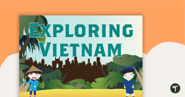
Exploring Vietnam Word Wall
Word wall cards containing Vietnam related vocabulary.
- Plus Plan
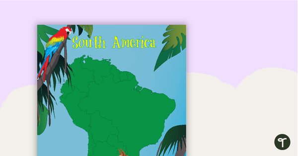
Map of South America with Animals
A map of South America showing the shape of the country and some of its native animals.
- Plus Plan
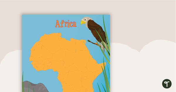
Map of Africa with Animals
A map of Africa showing the shape of the country and some of its native animals.
- Plus Plan
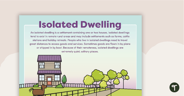
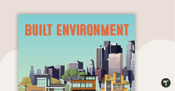
Types of Settlements Posters
5 beautifully illustrated posters explaining the various types of settlements.
- Plus Plan
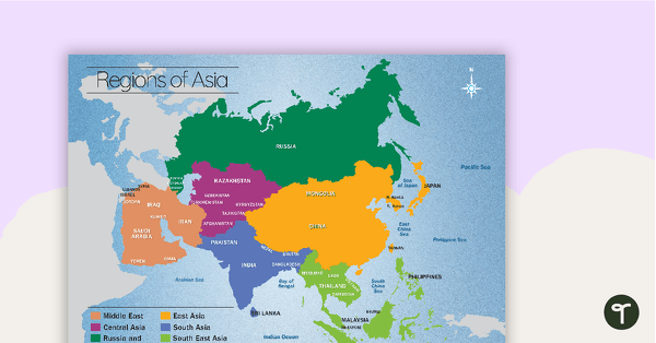
Map of the Regions of Asia
A map showing the layout, regions and major countries of Asia.
- Plus Plan
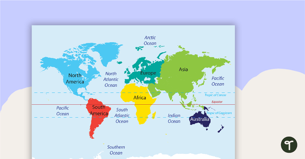
Map of the World Puzzle
A map puzzle with continents and oceans to introduce students to world geography.
- Plus Plan
Spaces and Places Word Wall Vocabulary
30 spaces and places word wall vocabulary cards.
- Plus Plan
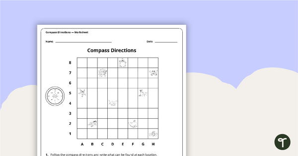
Compass Directions Worksheet
A worksheet to use when exploring grids, grid references and direction.