Map Skills Teaching Resources
Everything you need for teaching map skills in your classroom has been brought together in one place by the Teach Starter team! Find printable map skills worksheets, teaching resources about cardinal directions, longitude and latitude activities and more — all created by teachers for your primary classroom!
Each curriculum-aligned teaching resource has been rigorously reviewed by our teacher team to ensure it meets standards, has been fact- and spell-checked, and is ready to be downloaded and used in your maths and geography lessons!
New to teaching this part of the curriculum? Read on for a primer from our teacher team!
What Are Map Skills?
Map skills can be described rather simply as what students need to know in order to read a physical map. However, this crucial skill goes far beyond that.
At the primary school level, students should be learning to identify the following elements of a map:
- Cardinal directions: North, South, East, West.
- Symbols: Icons or pictures on a map representing different features such as parks, schools, hospitals, airports, etc.
- Legend: A key that explains what each symbol or colour on a map represents.
- Scale: The relationship between the distance on a map and the distance in the real world.
- Landforms: Different types of landforms, such as mountains, hills, valleys, and rivers.
- Oceans, seas, and major bodies of water
- Continents: The seven continents of the world and their general location on the map.
- Hemispheres: The four hemispheres of the earth: northern, southern, eastern, and western.
- Latitude and Longitude: The grid lines that are used to locate places on the map using coordinates.
- Borders: The lines that separate countries, states, and territories on the map.
Why Are Map Skills So Important?
It may not feel like a pertinent skill for students in our GPS era, but the skills involved in reading a map are just as important today as they've ever been!
These maths and geography lessons will help your students develop their spatial thinking, learning to take in and interpret data. With a map, students get visual data that they can then put to use — calculating the distance between two points, for example, or determining where a river flows to better understand why a road cannot extend in that direction.
Map skills also help students better understand symbols and their relationships to pictures, objects, and distance as students get acquainted with the various map elements, such as a compass rose and scale.
To help aid your class in developing the map skills they need to meet Australian Curriculum standards this school year, our team has created both digital and printable resources with activities and worksheets ranging from the early years to upper years!
- Plus Plan
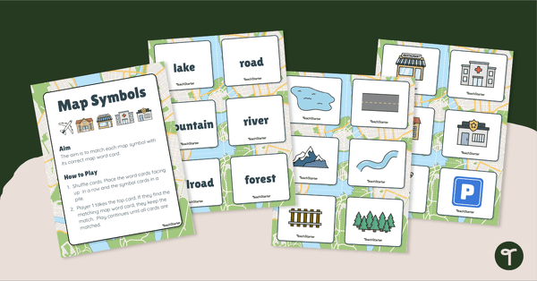
Map Symbols Match-Up Activity
Practise identifying the symbols found on a map with a map symbol matching activity.
- Plus Plan
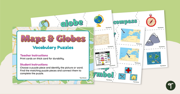
Maps and Globes Vocabulary Puzzles
Make your geography lessons more fun with a set of map and globe picture puzzles.
- Plus Plan
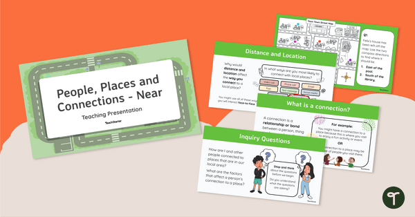
People, Places and Connections (Near) - Teaching Presentation
Explore your students’ connections with local people and places with this comprehensive 25-slide editable teaching presentation.
- Plus Plan
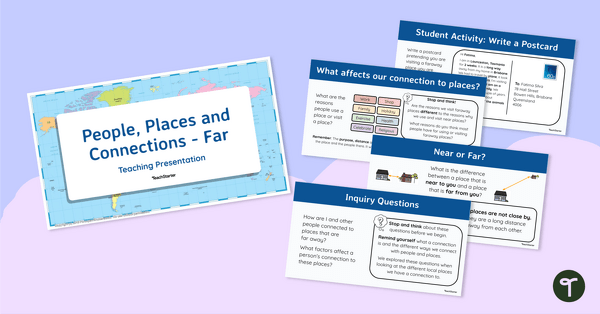
People, Places and Connections (Far) - Teaching Presentation
Explore your students’ connections with distant people and places with this comprehensive 20-slide editable teaching presentation.
- Plus Plan
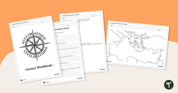
Acclimatised Civilisations: Greece – Workbook
Learn about the physical and human geography of Greece and the Mediterranean region with this inquiry-based mapping activity.
- Plus Plan
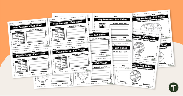
Features of Maps - Exit Tickets
Assess student map and globe skills with twenty exit ticket worksheets.
- Plus Plan
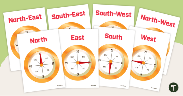
Cardinal and Intermediate Directions - Poster Pack
Display these cardinal and intermediate directions posters when exploring the compass rose with your students.
- Plus Plan

Cardinal and Intermediate Directions Poster
Display this cardinal and intermediate directions poster when exploring the compass rose with your students.