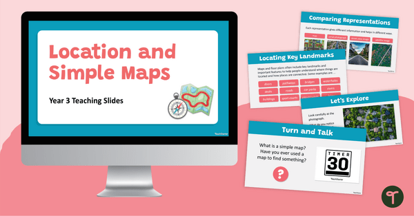
Help Year 3 students explore location, position, landmarks and two-dimensional representations of familiar environments with these interpreting simple maps teaching slides.
Interpreting Simple Maps for Year 3 Students
Help students develop essential spatial reasoning skills with these Interpreting Simple Maps teaching slides. Through engaging discussions, visual examples and hands-on activities, students learn how to interpret and create two-dimensional representations of familiar spaces while identifying the location of key landmarks and objects.
Students explore concepts such as maps, floor plans, aerial views and positional language while learning how objects and landmarks can be located relative to one another. The resource also introduces students to different ways places can be represented, including maps, aerial photographs, street view images and satellite images.
Engaging Ways to Use These Interpreting Simple Maps Slides
These Interpreting Simple Maps slides can be used in a variety of engaging classroom contexts:
- Map Reading Warm-Up – Use the floor plans and map examples to practise identifying landmarks and describing locations using positional language.
- Design a Space Challenge – Students create their own classroom, bedroom or games room layout from a top-view perspective and explain the position of key objects
- Hidden Object Mapping Activity – Students sketch a classroom map showing the location of a hidden object, then swap maps with a partner and provide feedback on how easy the map was to follow.
The interactive learning experiences encourage discussion, collaboration and the practical application of mapping skills.
Download These Interpreting Simple Maps Teaching Slides
This resource is available as an editable Google Slides presentation and a PowerPoint file, making it easy to customise for your classroom needs. Simply download and teach. (Please note: you will be prompted to make your own copy of the Google Slides version.)
This resource was created by Lindsey Phillips, a TeachStarter collaborator.
More Interpreting Simple Maps Resources
Check out more of our map resources below!
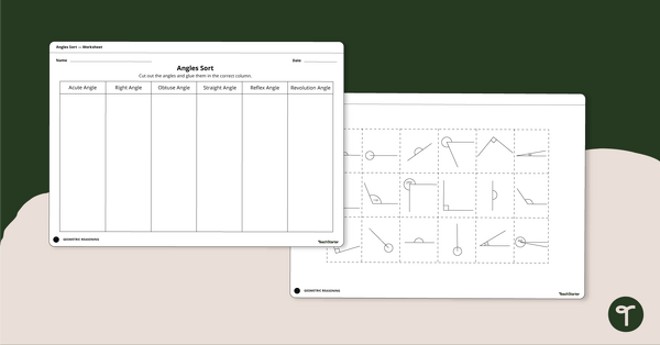
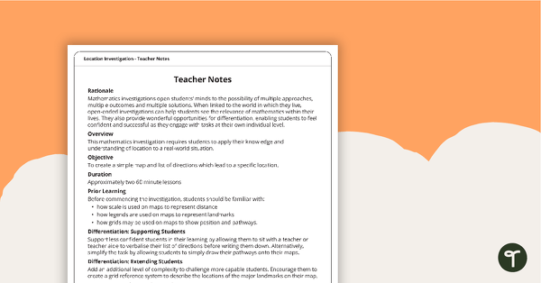
[resource:4936352] [resource:4937284] [resource:4902642]


0 Comments
Write a review to help other teachers and parents like yourself. If you'd like to request a change to this resource, or report an error, select the corresponding tab above.