Maps Teaching Resources
A collection of maps resources to use when learning about different countries and their position within the world. The educational teaching resources provided include maps, worksheets, vocabulary word walls, timelines and posters. Also included are worksheets and information about the features of maps and the concepts of latitude and longitude.
- Plus Plan
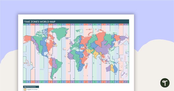
Time Zones World Map
A poster to display in the classroom when locating the different time zones of the world.
- Plus Plan
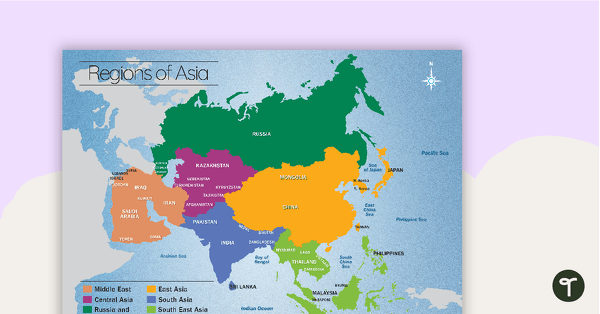
Map of the Regions of Asia
A map showing the layout, regions and major countries of Asia.
- Plus Plan
Map of the World Puzzle
A map puzzle with continents and oceans to introduce students to world geography.
- Plus Plan
Indonesia Profile Poster Pack
A pack of 10 posters about Indonesia – suitable for your Geography or LOTE classroom.
- Plus Plan
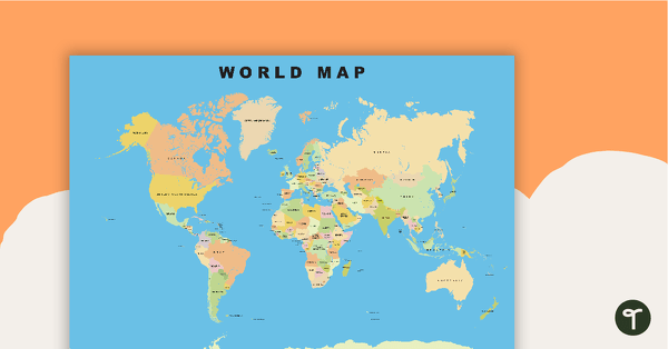
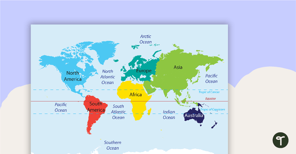
World Map
Show your students the map of the world with countries and bodies of water.
- Plus Plan
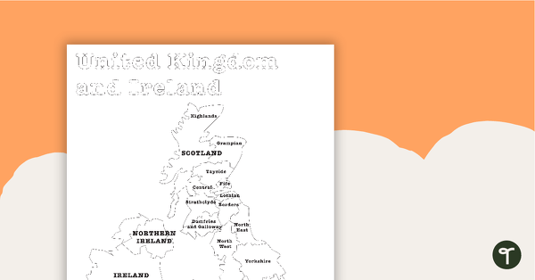
Map of the United Kingdom and Ireland - BW
A map showing the regions of the United Kingdom and Ireland.
- Plus Plan
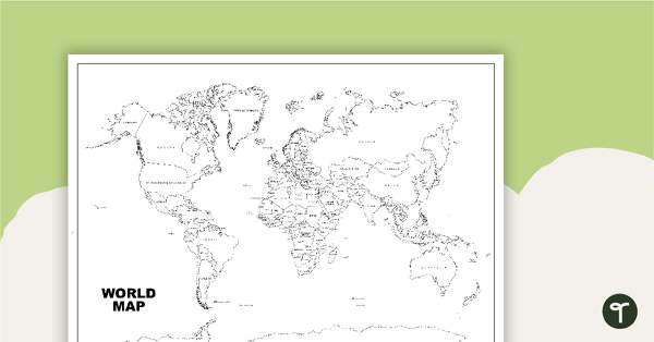
World Map (Black and White Version)
Black and white world map showing countries, oceans and seas.
- Plus Plan
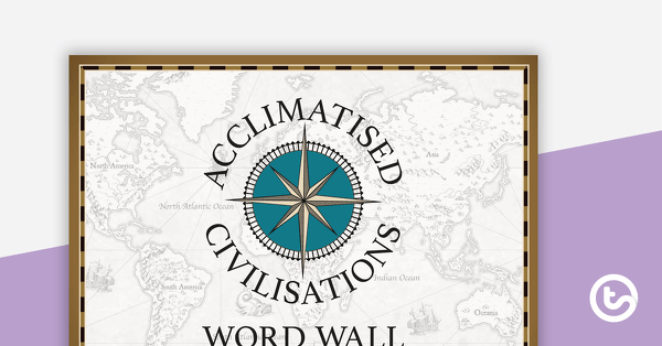
Acclimatised Civilisations – Word Wall
Content-specific vocabulary cards for a word wall based on the Acclimatised Civilisations Geography resources.
- Plus Plan
Acclimatised Civilisations – Inquiry Project
A Geography inquiry investigation for students to research a civilisation and how they adapted to their environment and landscape.
- Plus Plan
Acclimatised Civilisations: Inuit Territories – Workbook
A workbook for students to use their investigation and mapping skills, while learning about civilisations in Inuit Territories.
- Plus Plan
Acclimatised Civilisations: Egypt – Workbook
A workbook for students to use their investigation and mapping skills, while learning about civilisations in Egypt.
- Plus Plan
Acclimatised Civilisations: Australia – Workbook
A workbook for students to use their investigation and mapping skills, while learning about civilisations in Australia.
- Plus Plan

Acclimatised Civilisations: India – Workbook
A workbook for students to use their investigation and mapping skills, while learning about civilisations in India.
- Plus Plan
Acclimatised Civilisations: Greece – Workbook
A workbook for students to use their investigation and mapping skills, while learning about civilisations in Greece.
- Plus Plan
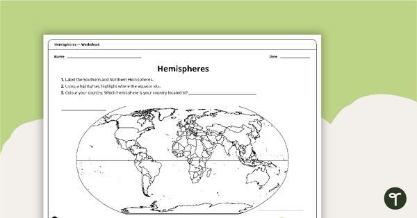
Hemispheres Worksheet
A worksheet highlighting the hemisphere, equator and country locations.
- Plus Plan
Acclimatised Civilisations: Andes Mountains – Workbook
A workbook for students to use their investigation and mapping skills, while learning about civilisations in the Andes Mountains.
- Plus Plan
Acclimiatised Civilisations – Teaching Presentation
A Geography teaching presentation for students to learn about how different cultures adapted to different landscapes.
- Plus Plan
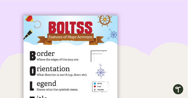
Features of Maps Posters
A set of 2 posters outlining the features of a map.
- Plus Plan
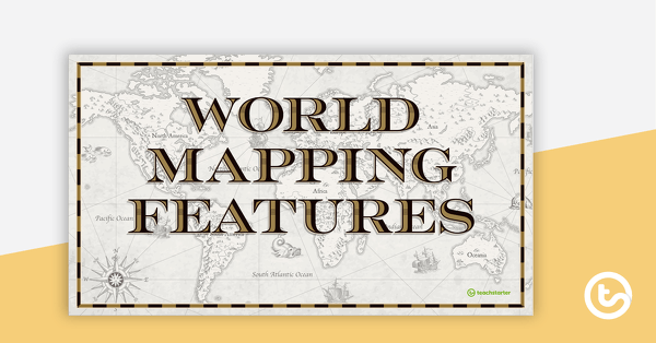
World Mapping Features – Teaching Presentation
An 18 slide PowerPoint presentation to use when teaching students about the main features of the world map.
- Plus Plan
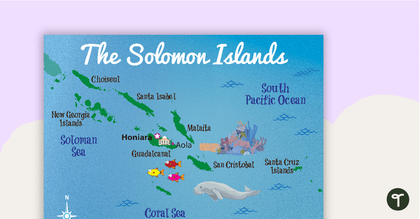
Map of The Solomon Islands
A map showing the layout and major cities in The Solomon Islands.
- Plus Plan
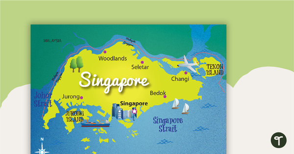
Map of Singapore
A map showing the layout and major cities in Singapore.
- Plus Plan
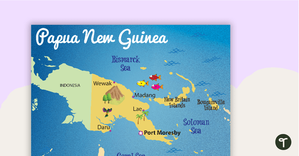
Map of Papua New Guinea
A map showing the layout and major cities in Papua New Guinea.
- Plus Plan
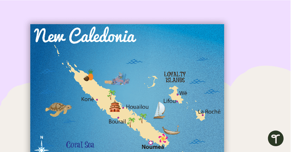
Map of New Caledonia
A map showing the layout and major cities in New Caledonia.
- Plus Plan
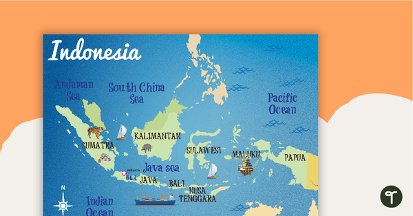
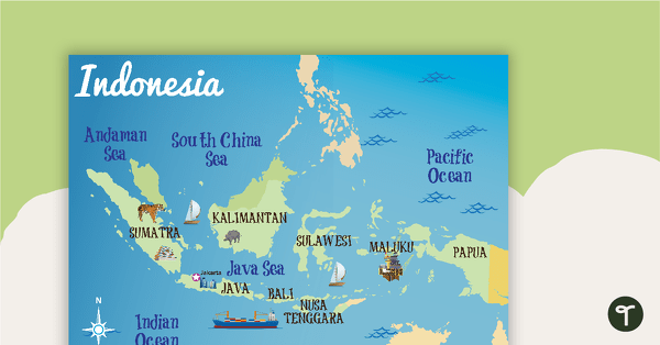
Map of Indonesia
A map showing the layout and major cities in Indonesia.
- Plus Plan
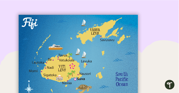
Map of Fiji
A map showing the layout and major cities in Fiji.
- Plus Plan
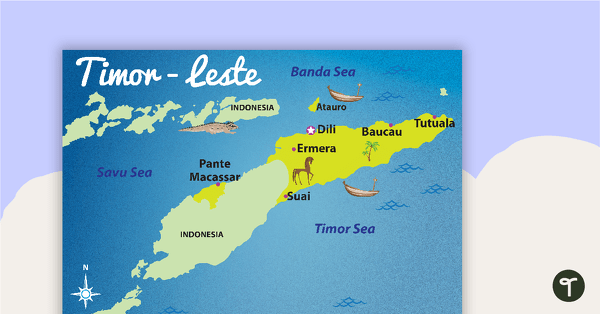
Map of Timor-Leste
A map showing the layout and major cities in Timor-Leste.
- Plus Plan
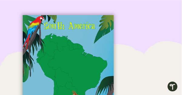
Map of South America with Animals
A map of South America showing the shape of the country and some of its native animals.
- Plus Plan
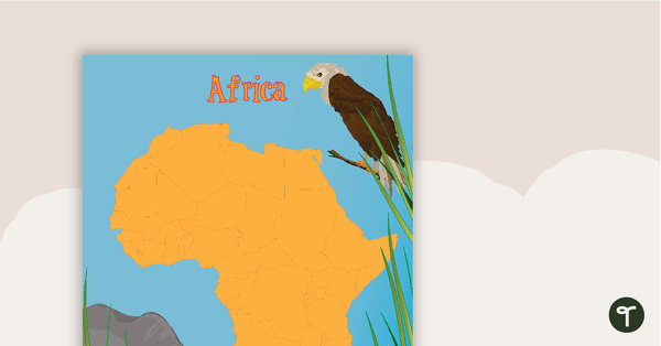
Map of Africa with Animals
A map of Africa showing the shape of the country and some of its native animals.
- Plus Plan
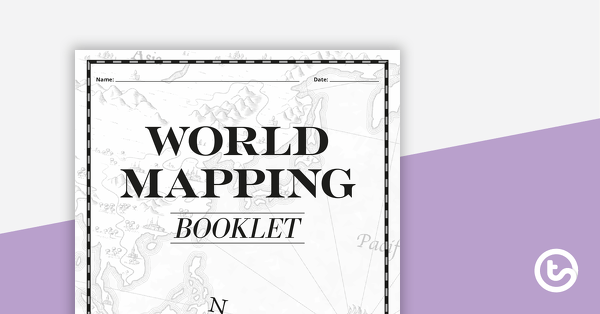
World Mapping Booklet – Worksheet
A workbook asking students knowledge about features on the world map.
- Plus Plan
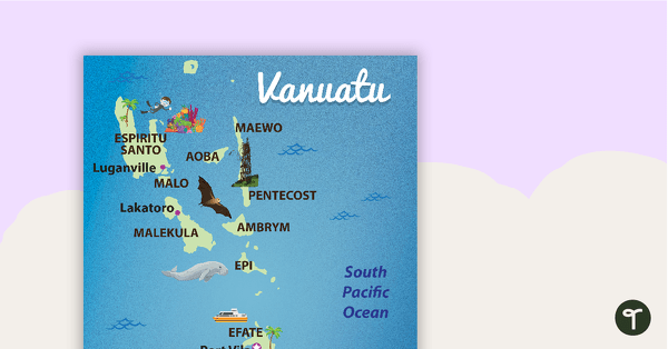
Map of Vanuatu
A map showing the layout and major cities in Vanuatu.
- Plus Plan
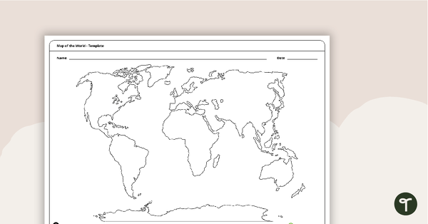
Map of the World Template
A blank map of the world to use during Geography lessons.
- Plus Plan
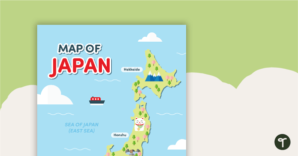
Map of Japan
A map of Japan featuring the names of the main islands and well-known landmarks.