Geography
Pupils should extend their knowledge and understanding beyond the local area to include the United Kingdom and Europe, North and South America. This will include the location and characteristics of a range of the world’s most significant human and physical features. They should develop their use of geographical knowledge, understanding and skills to enhance their locational and place knowledge.
- Plus Plan
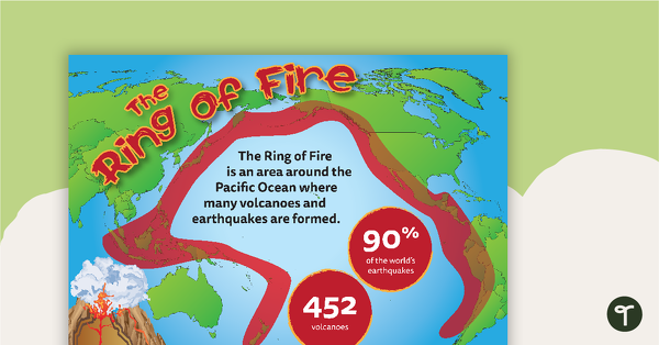
The Ring of Fire Resource Pack
A resource pack about the Ring of Fire, including colourful, informative posters and a worksheet.
- Plus Plan
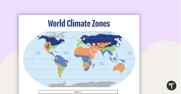
Map of the World's Climate Zones
A poster to display in the classroom when locating the different climates of the world.
- Plus Plan

Geographic Landforms Features Poster and Worksheet
A poster showing the different types of geographic features of Earth.
- Plus Plan
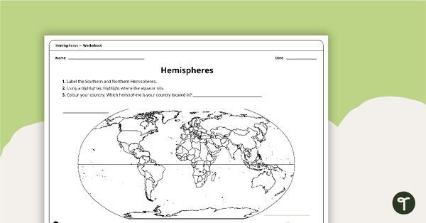
Hemispheres Worksheet
A worksheet highlighting the hemisphere, equator and country locations.
- Plus Plan
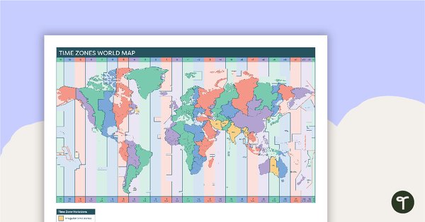
Time Zones World Map
A poster to display in the classroom when locating the different time zones of the world.
- Plus Plan
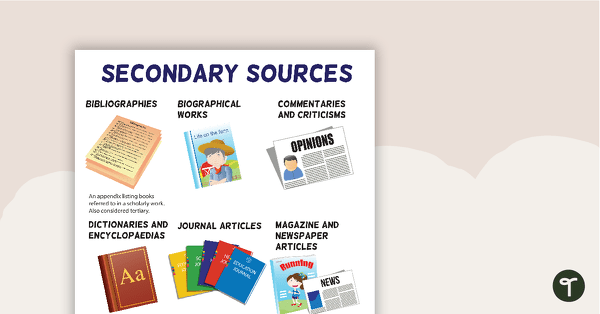
Secondary Sources Poster (Version 2)
A poster highlighting some examples of secondary sources.
- Plus Plan

Sustainability Footprints Posters
12 footprint shaped landscape posters.
- Plus Plan
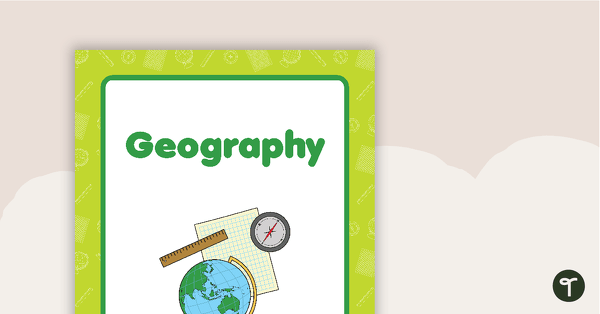
Geography Book Cover - Version 2
A Geography book cover to use on your students' workbooks.
- Plus Plan
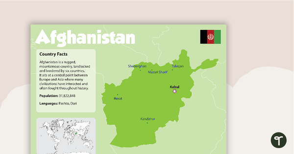
Afghanistan Country Profile Poster
A poster about Afghanistan – suitable for your Geography or LOTE classroom.
- Plus Plan
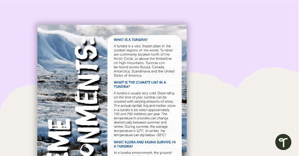
Extreme Environments: Lands of Ice and Sand – Worksheet
A comprehension worksheet for an information report from the Year 4 magazine (Issue 3).
- Plus Plan
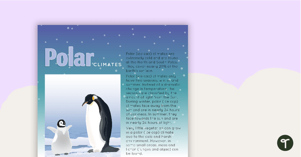
Climate Types of the World Poster - Polar Climates
A poster to display in the classroom when learning about polar (ice cap) climates.
- Plus Plan
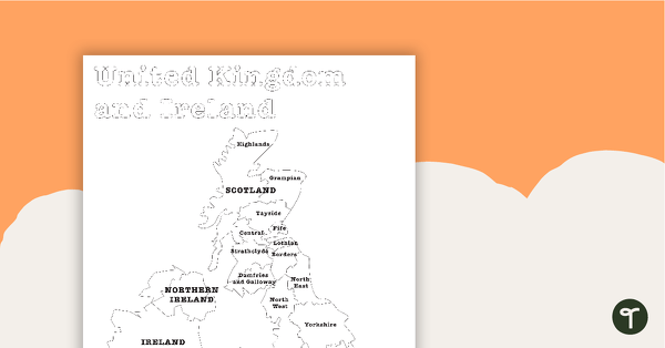
Map of the United Kingdom and Ireland - BW
A map showing the regions of the United Kingdom and Ireland.
- Plus Plan
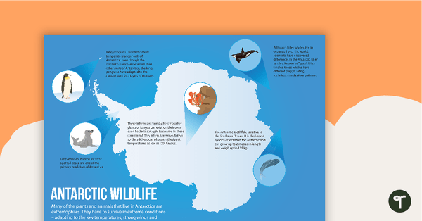
Antarctic Wildlife Poster
A poster highlighting some of the main wildlife in Antarctica.
- Plus Plan
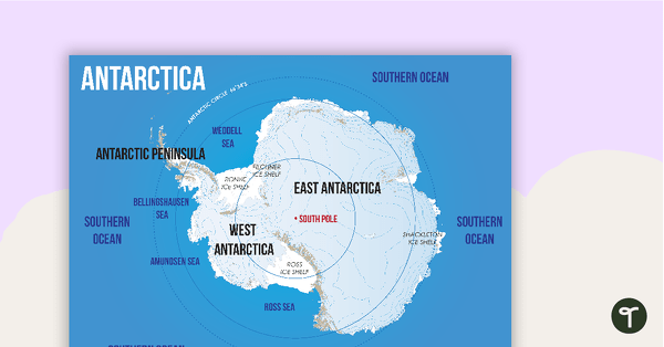
Map of Antarctica
A map showing the layout and major features of Antarctica.
- Plus Plan
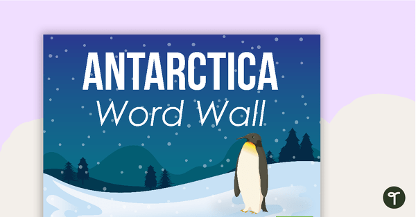
Antarctica Word Wall Vocabulary
Forty-five Antarctica related vocabulary cards for a word wall.
- Plus Plan
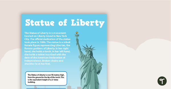
Seven US Landmarks Posters
A set of 7 posters highlighting some of the United States most famous Landmarks.
- Plus Plan
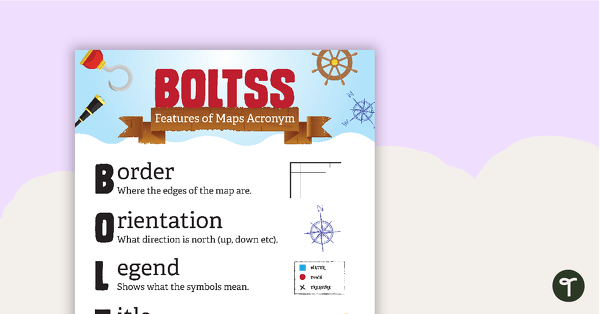
Features of Maps Posters
A set of 2 posters outlining the features of a map.
- Plus Plan
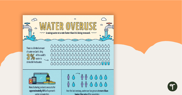
Water Overuse Infographic Poster
An infographic displaying important facts and statistics about water overuse.
- Plus Plan
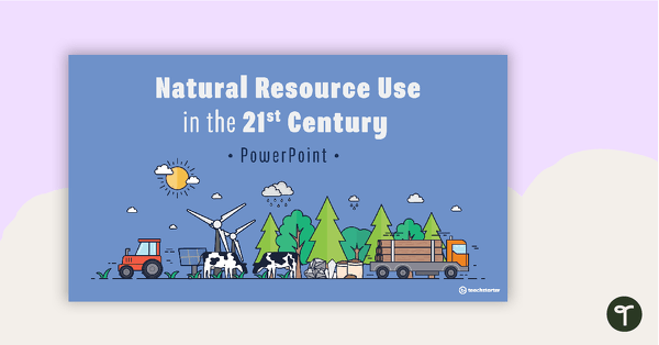
Natural Resource Use in the 21st Century PowerPoint
A 22 slide editable PowerPoint template to use when exploring how natural resources are used by humans in the 21st century.
- Plus Plan
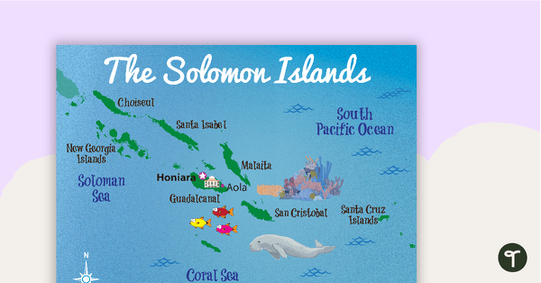
Map of The Solomon Islands
A map showing the layout and major cities in The Solomon Islands.
- Plus Plan
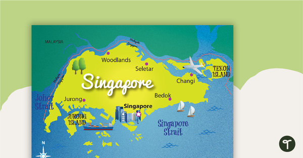
Map of Singapore
A map showing the layout and major cities in Singapore.
- Plus Plan
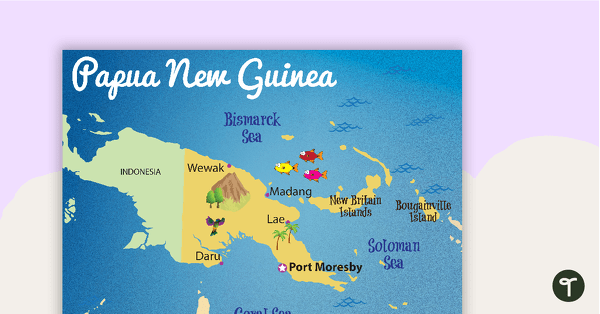
Map of Papua New Guinea
A map showing the layout and major cities in Papua New Guinea.
- Plus Plan
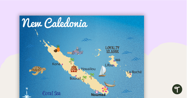
Map of New Caledonia
A map showing the layout and major cities in New Caledonia.
- Plus Plan
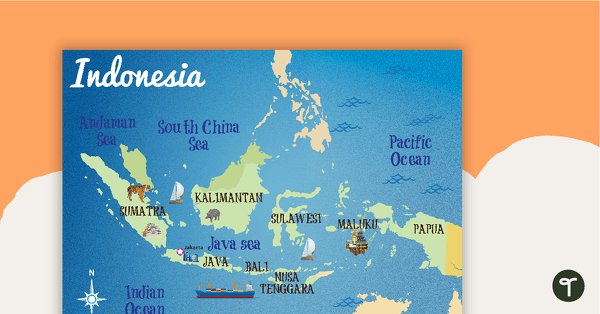
Map of Indonesia
A map showing the layout and major cities in Indonesia.
- Plus Plan
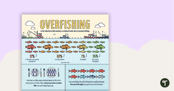
Overfishing Infographic Poster
An infographic displaying important facts and statistics about overfishing.
- Plus Plan
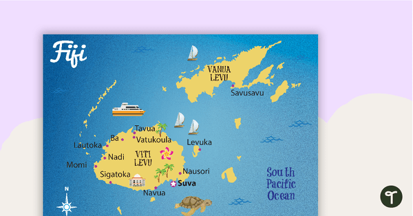
Map of Fiji
A map showing the layout and major cities in Fiji.
- Plus Plan
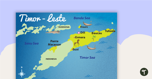
Map of Timor-Leste
A map showing the layout and major cities in Timor-Leste.
- Plus Plan
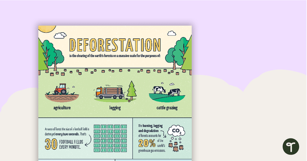
Deforestation Infographic Poster
An infographic displaying important facts and statistics about deforestation.
- Plus Plan
Tertiary Sources Poster (Version 2)
A poster highlighting some examples of tertiary sources.
- Plus Plan
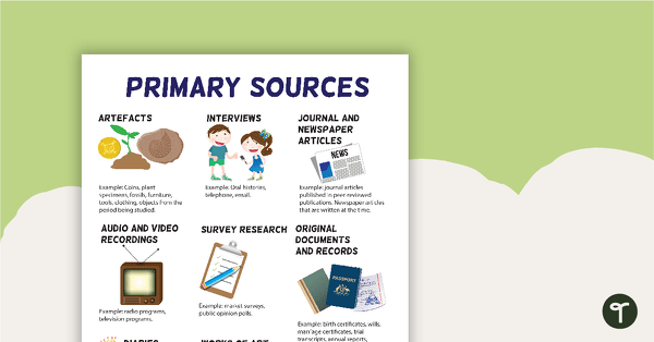
Primary Sources Poster (Version 2)
A poster highlighting some examples of primary sources.
- Plus Plan
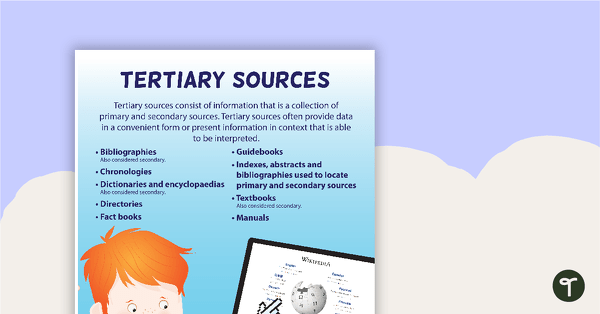
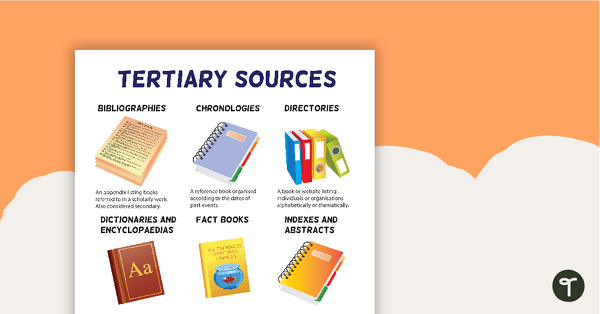
Tertiary Sources Poster
A poster providing the definition and some examples of tertiary sources.
- Plus Plan
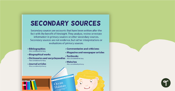
Secondary Sources Poster
A poster providing the definition and some examples of secondary sources.