Brighten up your classroom bulletin boards with a vibrant and informative classroom display about Australia’s states and territories.
Display Your Students’ Learning About Australia’s States and Territories
Do you have a blank bulletin board in your classroom just waiting to be covered with a colourful and educational class display? Don’t leave it blank for a second longer… cover it with key information about Australia’s states and territories!
This resource makes the perfect accompaniment to any unit of work about the geography of Australia. It can be used as a means of sparking the students’ curiosity and interest in the topic, or as a way for the students to demonstrate their learning. Students can work in small groups to focus on a particular state or territory, labelling it with the correct words and images and then selecting key information from previous lessons to write on notecards.
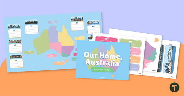
The classroom display features the following elements, which can be arranged in a variety of ways:
- a title card
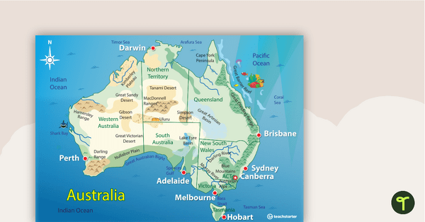
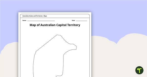
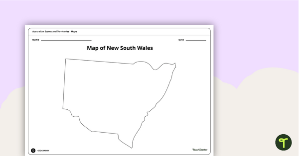
- labels for each state and territory, including the name of the capital city (both in English and in the local First Nations language)
- lined fact cards for each state
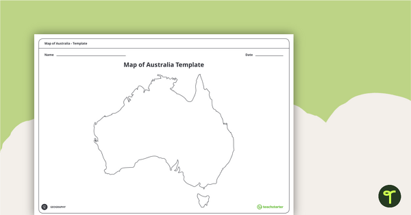
- a large map of Australia covering two landscape pages
- a larger map of Australia covering four landscape pages
- feature illustrations for each capital city (colour and black-and-white versions available).
How to Create This Australia Classroom Display
- Print the resource on card for added durability.
- Place the map of Australia in the centre of the display.
- Cut out the labels, fact cards and feature illustrations. You may wish to fill in the fact cards yourself; alternatively, you could have students complete these.
- Place the labels, fact cards and feature illustrations around the map of Australia. Use string to connect the labels to the correct position on the map.
- Top off your display with the title card!
The result is a vibrant and engaging display that your whole class can be proud of!
Choose the File Format That Best Suits You!
Use the dropdown menu next to the Download button to choose between the easy-print PDF or the editable Google Slides version of this resource.
This resource was created by Caitlyn Phillips, a Teach Starter collaborator.

0 Comments
Write a review to help other teachers and parents like yourself. If you'd like to request a change to this resource, or report an error, select the corresponding tab above.