Countries Teaching Resources
Explore Australia's neighbouring countries and other countries of the world with your students this school year with worksheets, activities and moreresources for Australian teachers.
This collection is stocked with printable and digital activities aligned with the Australian HASS curriculum and includes resources to help students get to know Australia's neighbour nations in the Asia-Pacific region, the diverse characteristics of places around the world and more!
Whether it's your first year teaching about countries or you simply need a quick place to find some answers to students' common questions for your lessons, we have you covered. Read on for a primer from our teacher team, including a definition of country, a look at which countries are Australia's near neighbours and answers to questions about how many countries there are in the world.
What Is a Country? A Kid-Friendly Definition
If you're introducing countries for the first time, it can be helpful to have a definition of the word at hand to explain the meaning. Here's a definition our teacher team uses to explain what a country is:
A country is a piece of land that is recognised as an independent political entity. Each country has its own government, borders that separate it from other countries and unique identities such as histories, traditions and laws.
Australia is the country we live in, but there are many other countries all around the globe. Some you might know include China, the United States and New Zealand.
Countries can be found on six of the world's seven continents. The only continent that doesn't have a country is Antarctica!

What Are Australia's Neighbouring Countries?
As an island nation, Australia has no countries bordering it by land, but we have near neighbours separated by water that our students will learn about in primary school.
Listed in alphabetical order, Australia's seven primary neighbouring countries include:
- East Timor (Timor-Leste)
- Indonesia
- New Caledonia (technically not a nation but a French overseas territory)
- New Zealand
- Papua New Guinea
- Solomon Islands
- Vanuatu
How Many Countries Are There?
If you listed all of the countries in the world in alphabetical order, Australia would be near the very top because it starts with the letter A, but that list would be very long indeed.
There are currently 193 different countries in the world that are recognised by the United Nations. There are two more countries that are called 'observer nations' by the UN.
What Is the Largest Country?
Australia is a big country that covers approximately 7.7 million square kilometres of land! But even with all of that land, the nation is only the sixth largest in the world by area.
So which country is the largest? And just how big is it?
The largest country by area is Russia. The nation spans approximately 17.1 million square kilometres of land. It's so large that it spans two different continents — Europe and Asia.
What Is the Smallest Country in the World?
The smallest country in the world is so small it fits inside a city! Vatican City, sometimes called the Holy See.
This tiny country is just .44 square kilometres wide.
- Plus Plan
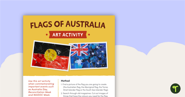
Flags of Australia – Art Activity
A creative art activity to use when commemorating important events such as Australia Day, Reconciliation Week and NAIDOC Week.
- Plus Plan
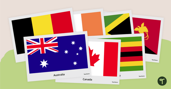
Flags of the World Posters
Use this set of 196 posters depicting the flags of the world's nations in the classroom.
- Plus Plan
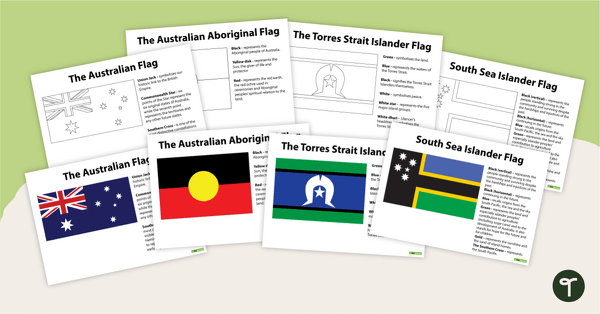
Significant Australian Flags
A set of 4 significant Australian flags with explanations.
- Plus Plan
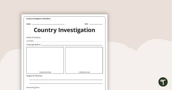
Country Investigation - Worksheet
A recording worksheet for students to use in the classroom when researching different countries and cultures.
- Plus Plan
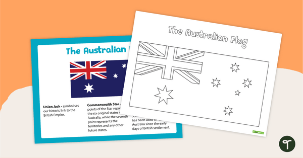
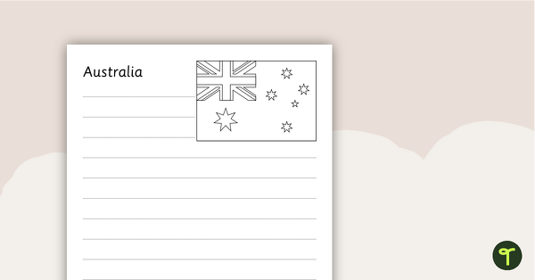
The Australian Flag Poster and Worksheet
A poster and worksheet of the Australian Flag.
- Plus Plan
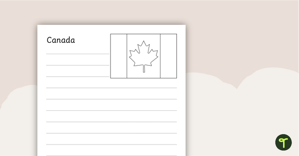
Neighbours of Australia Flags
Twelve flags from countries surrounding Australia.
- Plus Plan
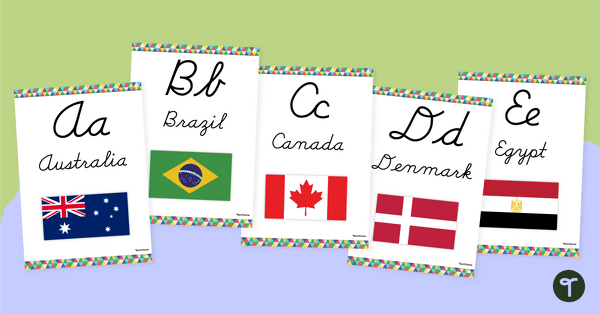
Flags of the World - Print and Cursive Alphabet Line
Display the alphabet in print or cursive with a unique Flags of the World Alphabet Line.
- Free Plan
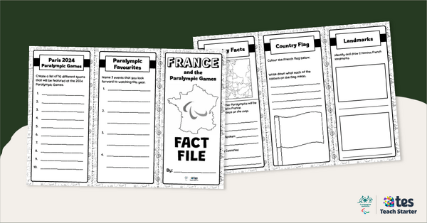
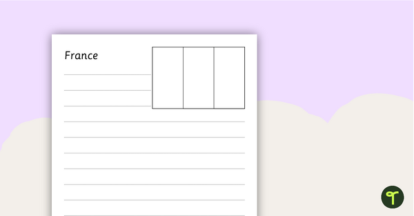
France Fact File – Brochure Template
Explore the wonders of France with this tri-fold brochure template perfect for developing your students' research and presentation skills.
- Plus Plan
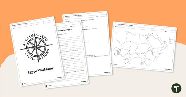
Acclimatised Civilisations: Egypt – Workbook
Learn about the physical and human geography of Egypt and the Sahara Desert with this inquiry-based mapping activity.
- Free Plan
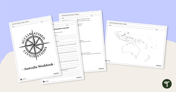
Acclimatised Civilisations: Australia – Workbook
Learn about the physical and human geography of the continent of Australia with this inquiry-based mapping activity.
- Plus Plan
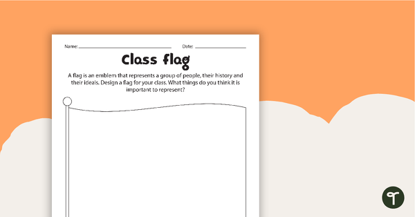
Class Flag Activity Worksheet
An activity for students to create a class flag.
- Plus Plan
Asian Flags
A collection of 38 flags from Asian countries.
- Plus Plan
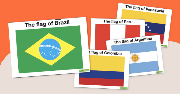
South American Flags
Decorate your travel-themed classroom with a set of fourteen flags from South America.
- Free Plan
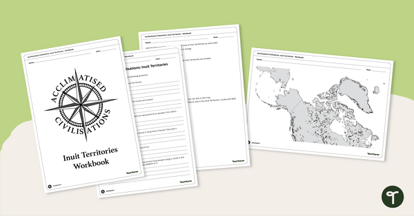
Acclimatised Civilisations: Inuit Territories – Workbook
Learn about the physical and human geography of the Inuit Territories with this inquiry-based mapping activity.
- Plus Plan
Asian Flags Worksheets - BW
Thirty-seven black and white worksheets with a selection of flags from Asia.
- Plus Plan
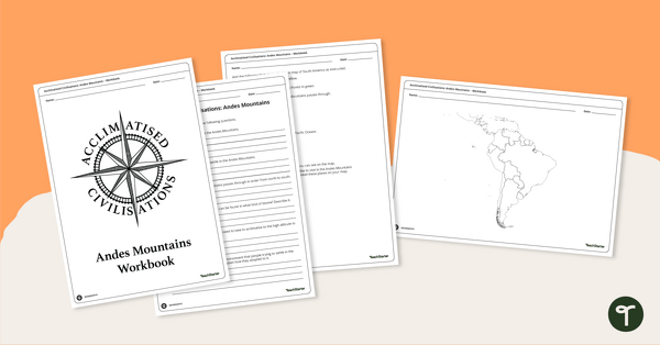
Acclimatised Civilisations: Andes Mountains – Workbook
Learn about the physical and human geography of the Andes mountains in South America with this inquiry-based mapping activity.
- Plus Plan
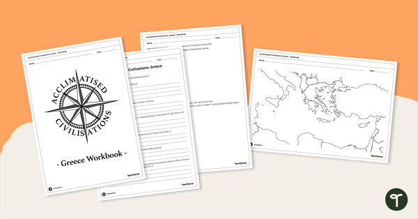
Acclimatised Civilisations: Greece – Workbook
Learn about the physical and human geography of Greece and the Mediterranean region with this inquiry-based mapping activity.
- Plus Plan
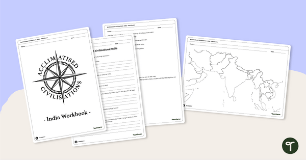
Acclimatised Civilisations: India – Workbook
Learn about the physical and human geography of the continent of India with this inquiry-based mapping activity.
- Plus Plan
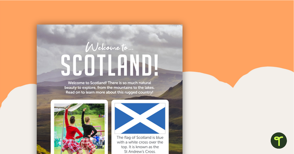
Welcome to Scotland! – Worksheet
A comprehension worksheet for a country profile from the Year 1 magazine (Issue 2).
- Plus Plan
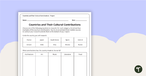
Countries and Their Cultural Contributions – Worksheet
An activity for students to research the cultural contributions from countries around the world.
- Plus Plan
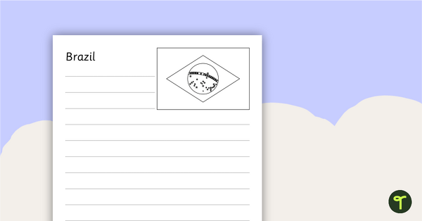
South American Flags Worksheets - BW
Fourteen black and white worksheets with flags from South America.
- Plus Plan
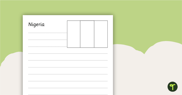
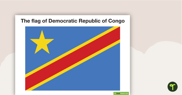
African Flags Worksheets - BW
Eight black and white worksheets with flags from Africa.
- Plus Plan
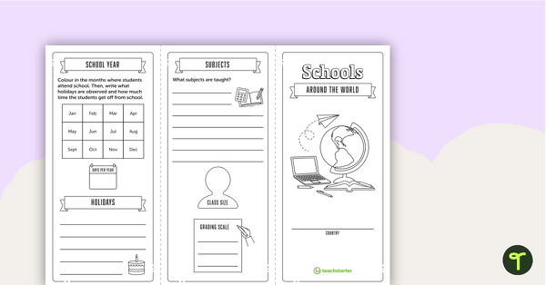
Schools Around the World – Brochure and Writing Template
A template for students to use to research and write a report on the school system from a different country.
- Plus Plan
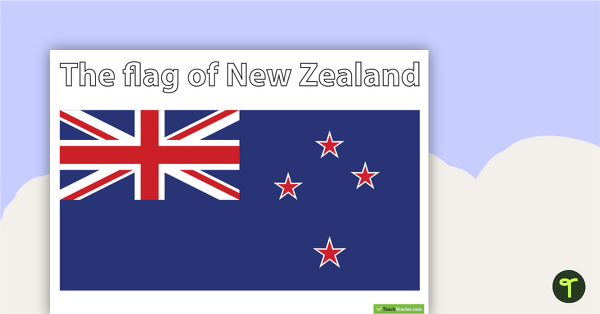
New Zealand Flags
Study New Zealand with your students using our flag worksheets.
- Plus Plan
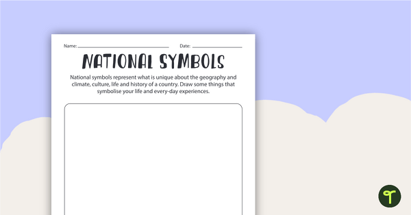
National Symbols Worksheet
Use this national symbols worksheet when exploring the importance of symbols and emblems.
- Plus Plan
European Flags Worksheets - BW
Twenty-seven black and white worksheets with a selection of flags from Europe.
- Plus Plan
North American Flags Worksheets - BW
Seventeen black and white worksheets with flags from North America.
- Plus Plan
Oceania Flags Worksheets - BW
Ten black and white worksheets with a selection of flags from the Oceania region.
- Plus Plan
African Flags
Eight flags from Africa.
- Plus Plan
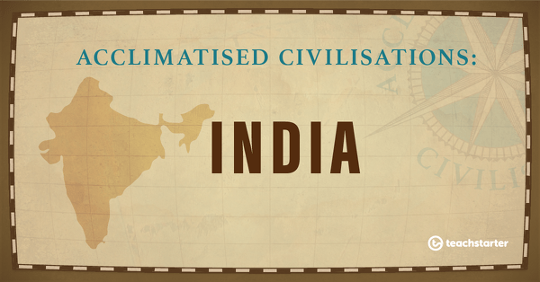
India
A 60-minute lesson in which students learn how people lived in and adapted to the environment in India.
- Plus Plan
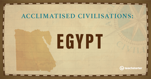
Egypt
A 60-minute lesson in which students learn how people lived in and adapted to the desert environment in Egypt.
- Plus Plan
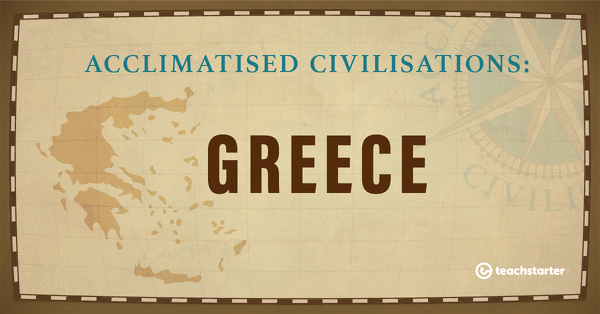
Greece
A 60-minute lesson in which students learn how people lived in and adapted to the Mediterranean environment in Greece.