Countries Teaching Resources
Explore the countries of the world with your students this school year with worksheets, activities and more resources created by teachers for teachers like you.
This collection is stocked with curriculum-aligned printable and digital activities and worksheets and includes resources to help students get to know the global community, the diverse characteristics of places around the world and more!
Whether it's your first year teaching about countries or you simply need a quick place to find some answers to students' common questions for your lessons, we have you covered. Read on for a primer from our teacher team, including a definition of country and answers to questions about how many countries there are in the world.
What Is a Country? A Kid-Friendly Definition
If you're introducing countries for the first time, it can be helpful to have a definition of the word at hand to explain the meaning. Here's a definition our teacher team uses to explain what a country is:
A country is a piece of land that is recognized as an independent political entity. Each country has its own government, borders that separate it from other countries and unique identities such as histories, traditions and laws.
The United States is the country we live in, but there are many other countries all around the globe. Some you might know include Canada, Mexico and China.
Countries can be found on six of the world's seven continents. The only continent that doesn't have a country is Antarctica!

What Countries Border the United States
The United States has giant oceans on its East and West borders, but there are two other countries with which we share land borders:
- Canada
- Mexico
How Many Countries Are There?
There are currently 193 different countries in the world that are recognized by the United Nations.
There are two more countries that are called "observer nations" by the UN.
What Is the Largest Country in the World?
The United States is a big country that covers approximately 3.8 million square miles of land! But even with all of that land, the nation is only the third largest in the world by area.
So which country is the largest? And just how big is it?
The largest country by area is Russia. The nation spans approximately 6.6 million square miles of land. It's so large that it spans two different continents — Europe and Asia.
What Is the Smallest Country in the World?
The smallest country in the world is so small it fits inside a city! Vatican City, sometimes called the Holy See.
This tiny country is just 109 acres wide!
- Plus Plan
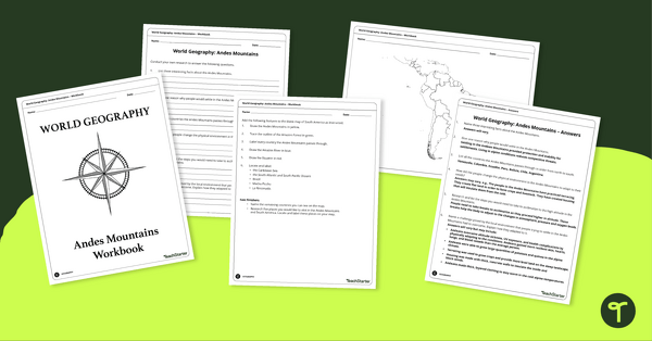
Analyze and Label South America Map & Andes Mountain Worksheet Pack
Explore civilizations in the Andes Mountains with students using the printable map and worksheet pack for sixth graders.
- Free Plan
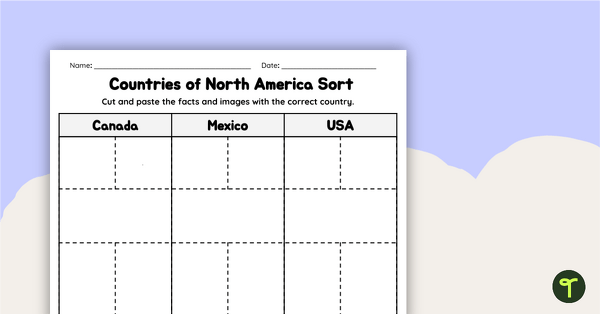
Countries of North America Sort
Practice identifying North American countries' locations, flags, and symbols with a quick and easy sorting worksheet.
- Plus Plan
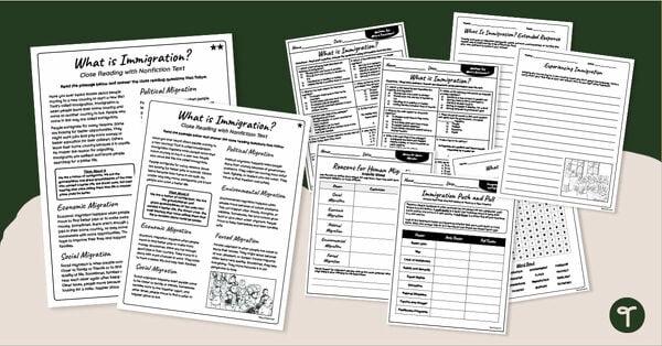
Immigration Worksheets - 4th & 5th Grade Reading Comprehension Pack
Use our printable Immigration Worksheets to introduce your students to the concept of immigration and the reasons why people migrate to new countries.
- Plus Plan
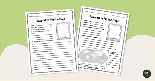
Passport To My Heritage - Project Poster
Celebrate your students’ diverse cultural heritages with a printable Heritage Project Poster Template.
- Free Plan
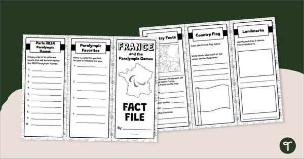
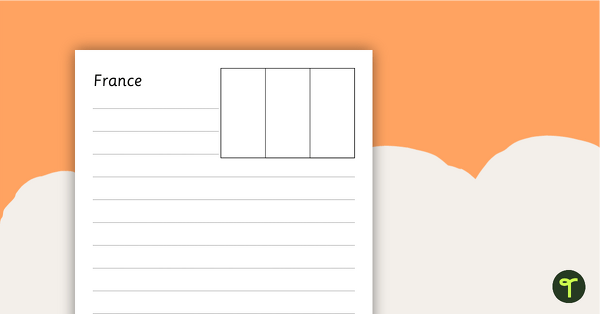
France Fact File – Brochure Template
Explore the wonders of France with this tri-fold brochure template perfect for developing your students' research and presentation skills.
- Plus Plan
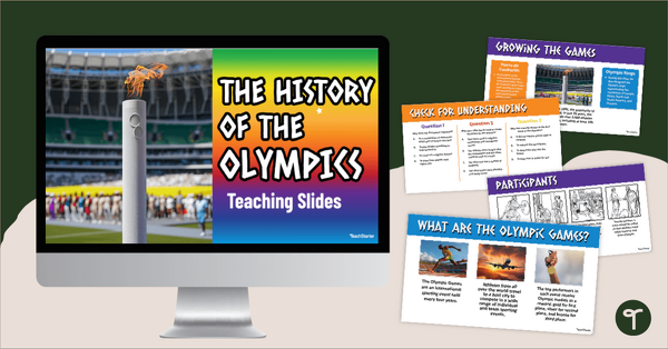
The History of the Olympic Games Teaching Slides
Give your students a comprehensive overview of the history of the Olympic Games with an interactive teaching slide deck.
- Plus Plan
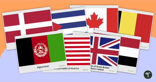
Flags of the World Chart Pack
Use this set of 196 posters depicting the flags of the world's nations in the classroom.
- Plus Plan
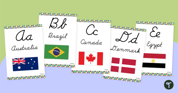
Flags of the World - Classroom Alphabet Line
Display the alphabet in print or cursive with a unique Flags of the World Alphabet Line.
- Plus Plan
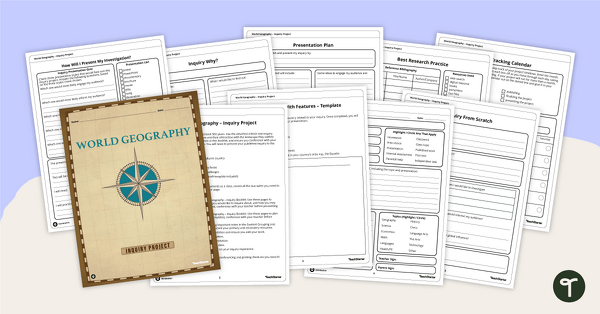
World Geography – Country Research Project Inquiry Task
Help your students discover new countries with our printable country research project template.
- Plus Plan
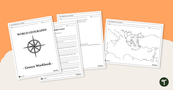
Features of Greece Map & Geography Worksheet Pack
Print a map of Greece and pack of geography worksheets for 6th grade.
- Plus Plan
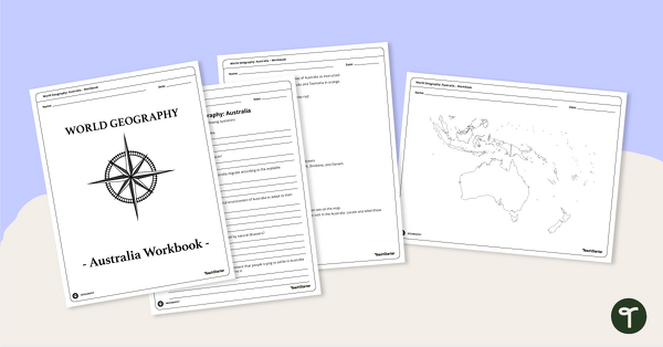
Physical Features of Australia – Geography Worksheets
A printable pack of worksheets for students to learn about Australia's geography and complete a labeled map of Australia.
- Plus Plan
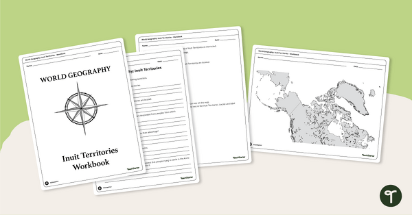
Geography of the Inuit - Canada Territories Worksheets
A workbook for students to use their investigation and map while learning about civilizations in Inuit Territories.
- Plus Plan
Discover Egypt – Geography Worksheets
A workbook for students to use their investigation and map while learning about physical geography in Egypt.
- Plus Plan

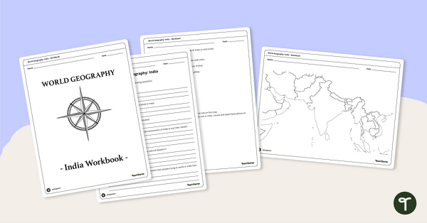
Countries of the World - Geography of India Worksheets
A workbook for students to use their investigation and map skills while learning about civilizations in India.
- Plus Plan
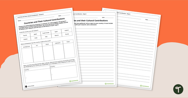
Contributions of Cultures Around the World – Research Project
Research the cultural contributions from countries around the world with this research activity.
- Plus Plan
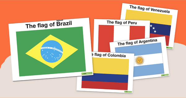
Flags of South America - Printable Posters
Decorate your travel-themed classroom with a set of fourteen colored flags from South America.
- Plus Plan
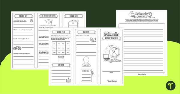
Schools Around the World – Brochure and Writing Template
Research and write a report on the school system from a different country with this brochure template.
- Plus Plan
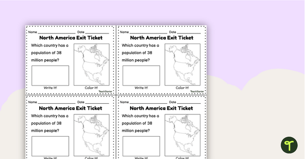
Countries of North America Exit Tickets
Assess student knowledge of the features and countries in North America with quick and easy exit tickets.
- Plus Plan
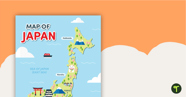
Map of Japan
A map of Japan featuring the names of the main islands and well-known landmarks.
- Plus Plan
North American Flags Worksheets - BW
Seventeen black and white worksheets with flags from North America.
- Plus Plan
European Flags Worksheets
Twenty-seven black and white worksheets with a selection of flags from Europe.
- Plus Plan
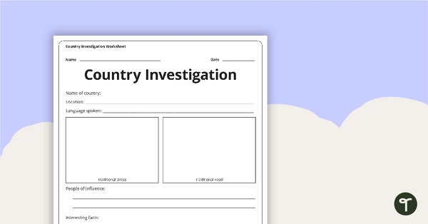
Country Investigation - Worksheet
A recording worksheet for students to use in the classroom when researching different countries and cultures.
- Plus Plan
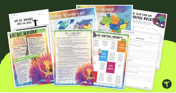
Rio de Janeiro Teaching Resource Pack
An engaging collection of teaching resources to use when learning about Rio de Janeiro.