Geography
Geography
- Plus Plan
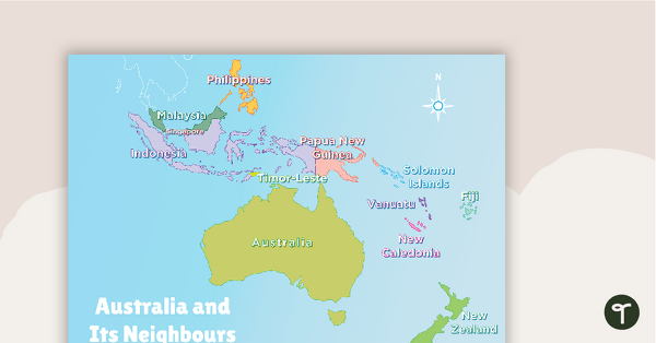
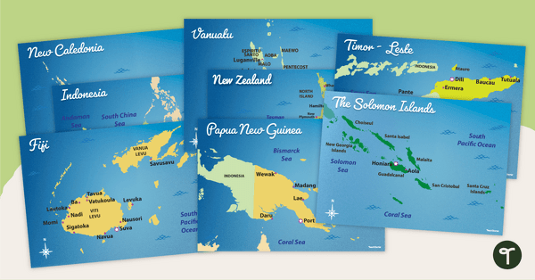
Australia and Its Neighbours - Poster and Labelling Activity
A set of maps and worksheet for students to use when looking at Australia and its neighbours.
- Free Plan
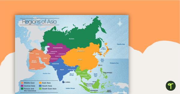
Map of the Regions of Asia
A map showing the layout, regions and major countries of Asia.
- Plus Plan
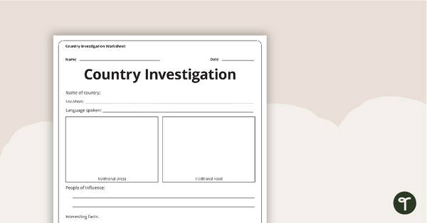
Country Investigation - Worksheet
A recording worksheet for students to use in the classroom when researching different countries and cultures.
- Plus Plan
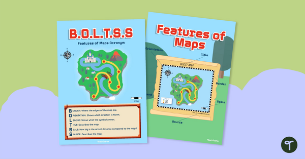
B.O.L.T.S.S Features of Maps Posters for the Classroom
Teach the BOLTSS mnemonic and explore the features of maps using this set of colourful classroom posters.
- Plus Plan
Australia's Neighbouring Countries - Poster Pack
Familiarise your students with Australia’s neighbouring countries with a pack of detailed maps.
- Plus Plan
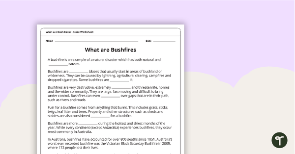
What are Bushfires? Cloze Worksheet
A cloze worksheet about bushfires.
- Free Plan
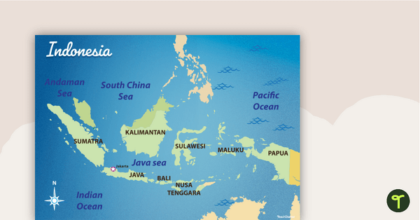
Map of Indonesia
Familiarise your students with Australia’s neighbouring countries with this detailed map of Indonesia.
- Plus Plan
Asian Flags
A collection of 38 flags from Asian countries.
- Plus Plan
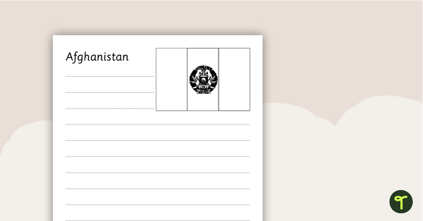
Asian Flags Worksheets - BW
Thirty-seven black and white worksheets with a selection of flags from Asia.
- Plus Plan
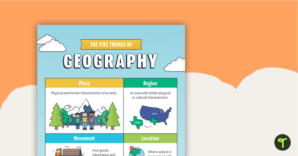
Themes of Geography Poster Pack
A pack of six posters to use when learning about geography.
- Plus Plan
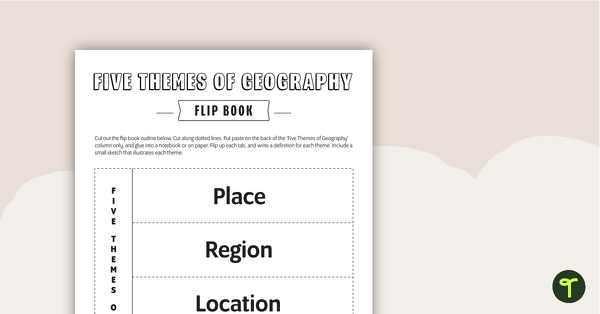
Geography Flip Book
A flip book to use when learning about geography.
- Plus Plan
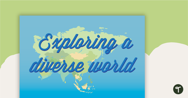
Exploring a Diverse World - Geography Word Wall Vocabulary
22 exploring a diverse world vocabulary word wall cards.
- Plus Plan
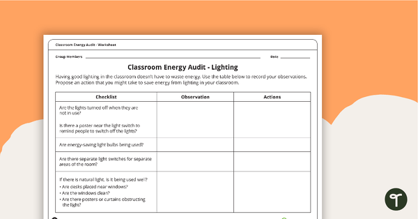
Classroom Energy Audit Worksheet
An investigation that will have students observing the energy usage in their classroom and proposing action to reduce energy waste.
- Plus Plan
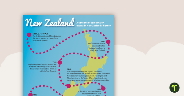
New Zealand History Timeline
A poster highlighting some of the major events in New Zealand's history.
- Plus Plan
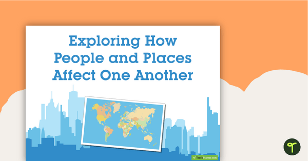
Exploring How People and Places Affect One Another - Geography Word Wall Vocabulary
63 exploring the affects of people and places vocabulary cards.
- Plus Plan
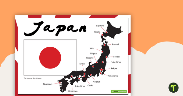
Japanese Flag and Map of Major Cities
A poster showing important information about Japan.
- Plus Plan
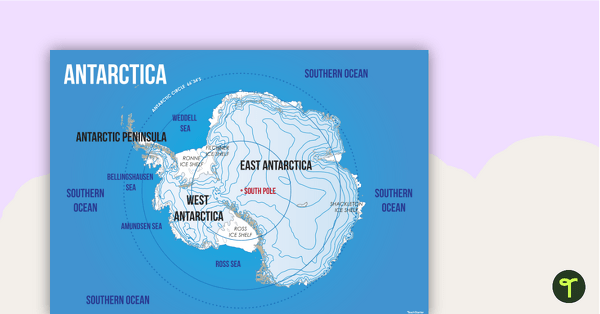
Map of Antarctica
Familiarise your students with the continent of Antarctica using a labelled map.
- Plus Plan
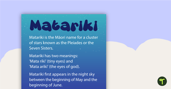
Matariki Poster
A poster to display in your classroom during Matariki (Māori New Year).
- Plus Plan
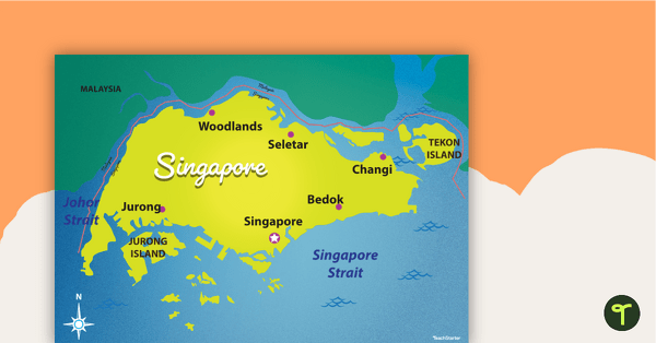
Map of Singapore
Familiarise your students with Australia’s neighbouring countries with this detailed map of Singapore.
- Plus Plan
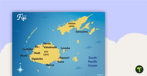
Map of Fiji
Familiarise your students with Australia’s neighbouring countries with this detailed map of Fiji.
- Free Plan
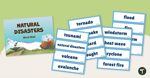
Natural Disaster Word Wall Vocabulary
Use this teacher-created resource to explore natural disaster vocabulary with your primary school students.
- Plus Plan
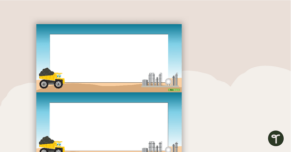
Mining Word Wall Vocabulary
Sixty-seven mining related vocabulary cards for a word wall.
- Plus Plan
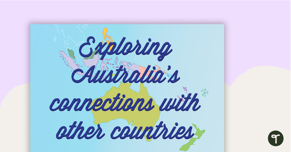
Exploring Australia's Connection with Other Countries - Geography Word Wall Vocabulary
37 exploring Australia's connection vocabulary word wall cards.
- Plus Plan
Matariki Word Wall Vocabulary
A set of 18 Matariki related vocabulary cards for a word wall.
- Plus Plan
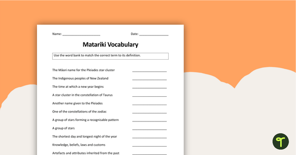
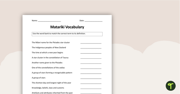
Matariki Worksheets
A collection of 6 worksheets to use with your class when exploring Matariki (Māori New Year).
- Plus Plan
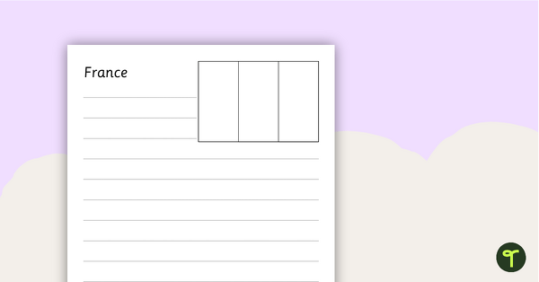
European Flags Worksheets - BW
Twenty-seven black and white worksheets with a selection of flags from Europe.
- Plus Plan
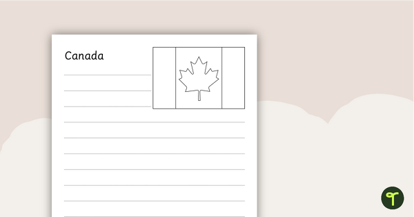
North American Flags Worksheets - BW
Seventeen black and white worksheets with flags from North America.
- Plus Plan
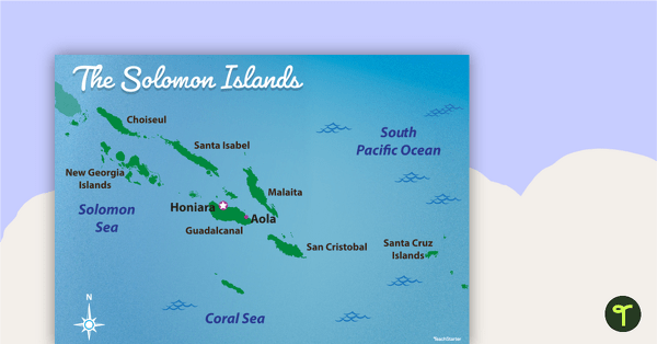
Map of The Solomon Islands
Familiarise your students with Australia’s neighbouring countries with this detailed map of The Solomon Islands.
- Plus Plan
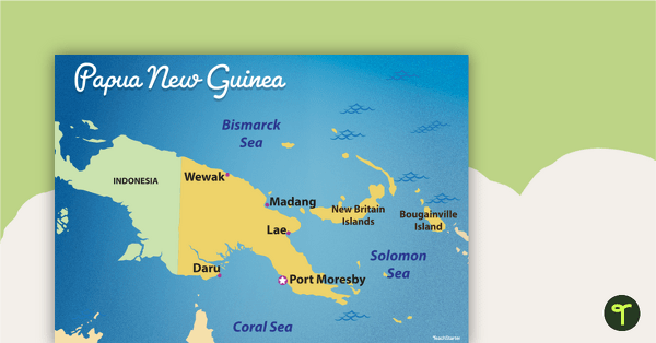
Map of Papua New Guinea
Familiarise your students with Australia’s neighbouring countries with this detailed map of Papua New Guinea.
- Plus Plan
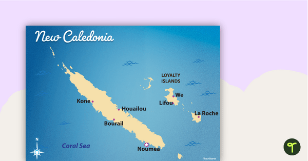
Map of New Caledonia
Familiarise your students with Australia’s neighbouring countries with this detailed map ofNew Calendonia.
- Plus Plan
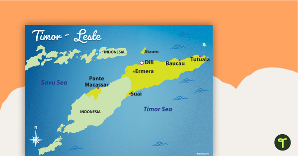
Map of Timor-Leste
Familiarise your students with Australia’s neighbouring countries with this detailed map of Timor-Leste.
- Plus Plan
Problems in the Australian Colonies
A 60 minute lesson in which students will identify some of the problems in the colonies leading up to Federation.