A map showing the layout, regions and major countries of Asia.
Use this map when studying the regions and countries of Asia.
Regions include:
- Middle East
- Central Asia
- Russia and the Caucasus
- East Asia
- South Asia
- South East Asia.
Updated: 21 Sep 2023
A map showing the layout, regions and major countries of Asia.
Non-Editable: PDF
Pages: 1 Page
Grades: K - 7
Geography. The student understands the concept of location. The student is expected to:
Geography. The student understands the purpose of geographic tools, including maps and globes. The student is expected to:
Geography. The student uses simple geographic tools, including maps and globes. The student is expected to:
Geography. The student understands the concepts of location, distance, and direction on maps and globes. The student is expected to:
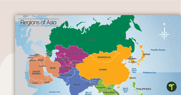
A map showing the layout, regions and major countries of Asia.
Use this map when studying the regions and countries of Asia.
Regions include:
Geography. The student understands the concept of location. The student is expected to:
Geography. The student understands the purpose of geographic tools, including maps and globes. The student is expected to:
Geography. The student uses simple geographic tools, including maps and globes. The student is expected to:
Geography. The student understands the concepts of location, distance, and direction on maps and globes. The student is expected to:

We create premium quality, downloadable teaching resources for primary/elementary school teachers that make classrooms buzz!

We have updated this map so that Mongolia is a part of East Asia.
Would you like something changed or customised on this resource? While our team makes every effort to complete change suggestions, we can't guarantee that every change will be completed.
Did you spot an error on this resource? Please let us know and we will fix it shortly.
Are you having trouble downloading or viewing this resource? Please try the following steps:
If you are still having difficulty, please visit the Teach Starter Help Desk or contact us .
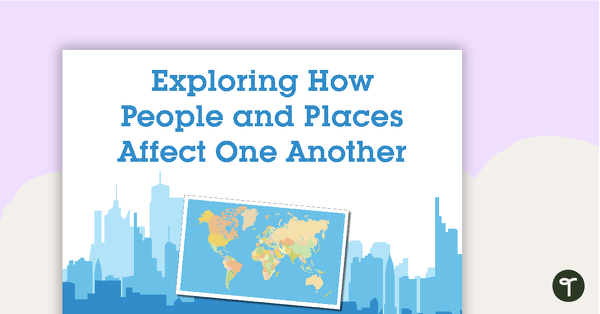
63 exploring the affects of people and places vocabulary cards.
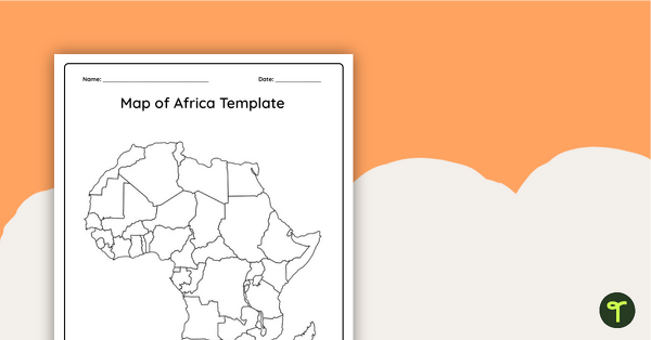
Record and represent data about the location of significant places with this printable blank map of the continent of Africa.
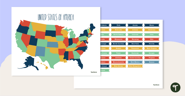
Discover the location and position of America's states with this labeling activity.
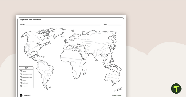
Locate and explore different vegetation zones around the world with this mapping worksheet.
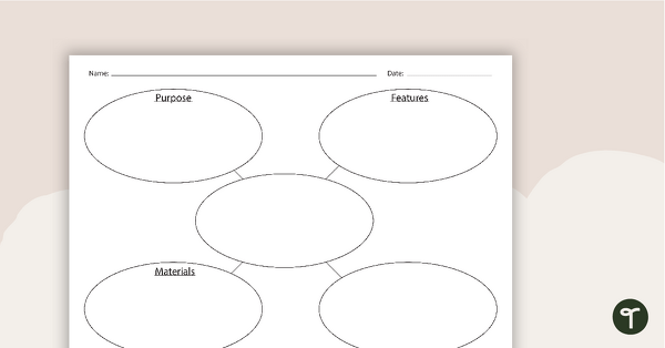
A concept map to use when learning about built environments.
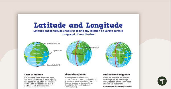
Use this educational poster when students are learning about geographical coordinates, latitude and longitude.
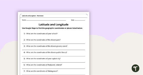
Use this free latitude and longitude worksheet along with Google Maps to teach your students about longitude and latitude.
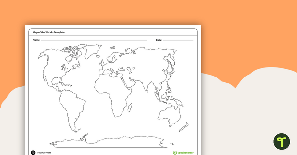
Teach your students about the world’s seven continents and five oceans with this blank map of the world for labeling.
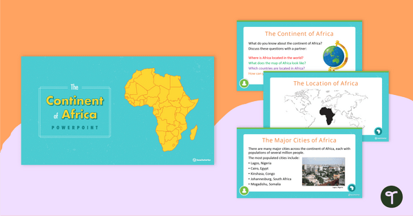
A 20 slide editable PowerPoint template to use when introducing students to the geographical features of Africa.

A 20-slide, editable PowerPoint template to use when introducing students to the geographical features of South America.
1 Comment
Write a review to help other teachers and parents like yourself. If you'd like to request a change to this resource, or report an error, select the corresponding tab above.
No comments yet.