
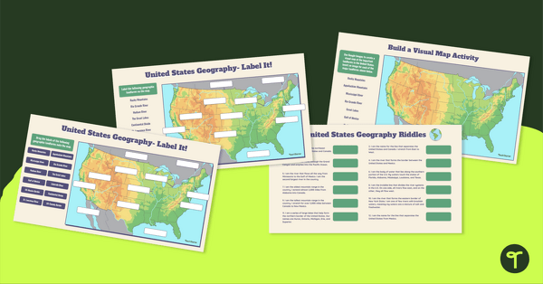
Apply knowledge of the major U.S. land features, mountains, and rivers with a map labeling worksheet.
This worksheet is best used as independent practice as part of your geography or map lessons. It can be completed in pairs, small groups, or reviewed as a class.
United States Rivers, Mountains, and Land Features – Free Activities for Elementary Geography Lessons
The United States is a vast and beautiful continent, and young learners need to know more about the amazing land features found in the United States. With this worksheet, students are tasked to
- Label the Atlantic Ocean, Pacific Ocean, and the Gulf of Mexico.
- Draw a compass rose that includes both cardinal and intermediate directions.
- Create a map key to identify the symbols shown on the map.
- Label the rivers: Mississippi, Ohio, Rio Grande, Hudson, and Colorado Rivers.
- Label the Appalachian and the Rocky Mountains.
- Label each of the five Great Lakes. (H.O.M.E.S)
- Draw and label the Continental Divide.
- Label the Great Plains and the state you live in.
In addition to individual student work time, use this map elements worksheet as a:
- Social Studies Activity
- Post-lesson assessment
- Whole-class review (via smartboard)
For students who need extra support, use this worksheet as an intervention activity or with a guided small group.
A Variety of Ways to Prepare This Resource
Because this resource includes an answer sheet, we recommend you print one copy of the entire file. Then, make photocopies of the blank worksheet for students to complete.
You can also turn this teaching resource into a sustainable activity! Print a few copies on cardstock and slip them into dry-erase sleeves. Students can record their answers with a dry-erase marker, then erase and reuse.
Additionally, project the worksheet onto a screen and work through it as a class by having students record their answers in their notebooks.
Before You Download
Use the Download button to download the PDF version of this resource. An answer key is also included with this download.
Don’t stop there! We’ve got more geography activities we know your students will love:
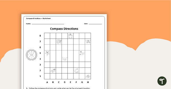
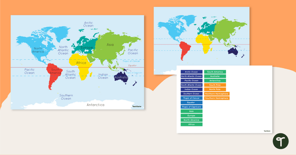
Explore the features of maps using this set of colorful classroom posters. A worksheet to use when exploring grids, grid references and direction. Discover and label the world's continents and oceans with this blank map of the world.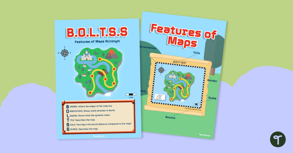
teaching resource
Features of Maps Posters - B.O.L.T.S.S
teaching resource
Compass Directions Worksheet
teaching resource
Map of the World - Labeling Activity


0 Comments
Write a review to help other teachers and parents like yourself. If you'd like to request a change to this resource, or report an error, select the corresponding tab above.