Geographic Features Teaching Resources
Teach about geographic features in social studies with printable worksheets, interactive activities, instructional slide decks and more teacher-created resources for your lesson plans!
This teaching resource collection includes editable options so you can easily make the edits you need to fit your lesson planning needs. You'll also find resources that have already been differentiated for your students.
Best of all? Each printable and digital resource has been reviewed by the teachers on the Teach Starter team to ensure it's classroom-ready, so you can download and begin using it in the classroom right away.
New to teaching geographic features, or looking for some fresh ideas to explore mountains, lakes and more? The teachers of Teach Starter have put together this handy primer.
What Is a Geographic Feature? A Kid-Friendly Definition
Trying to explain geographic features to your students? Here's a simple definition for kids:
A geographic feature is a natural or human-made characteristic of the Earth's surface.
Examples of Geographic Features
OK, so that's what it is. But what, exactly are we talking about? Let's look at some examples of major geographic features to make the concept of features of geography more concrete for your students!
Natural Geographic Features
The physical and environmental characteristics of the Earth's surface that are created by natural processes — such as plate tectonics, erosion, weathering, and volcanic activity — are natural geographical features.
They're important because they shape our entire environment, determining everything from the distribution of plant and animal species to influencing climate patterns, and they provide natural resources for human societies. They also tend to become landmarks and tourist attractions.
Examples of major physical features of our Earth include:
- Mountains (e.g., the Rocky Mountains, the Andes, the Himalayas)
- Rivers (e.g., the Amazon River, the Nile, the Mississippi River)
- Lakes (e.g., Lake Superior, Lake Victoria, the Great Salt Lake)
- Oceans (e.g., the Atlantic Ocean, the Pacific Ocean, the Indian Ocean)
- Deserts (e.g., the Sahara, the Mojave Desert, the Gobi Desert)
- Islands (e.g., Hawaii, Madagascar, the Galapagos Islands)
- Plains (e.g., the Great Plains, the Siberian Plain, the Australian Outback)
- Valleys (e.g., the Grand Canyon, the Yosemite Valley, the Shenandoah Valley)
- Volcanoes (e.g., Mount Fuji, Mount Vesuvius, Mauna Loa)
- Caves (e.g., Carlsbad Caverns, Mammoth Cave, the Waitomo Caves)
Human-Made Geographic Features
The other major type of feature of geography is the human-made kind. These physical and environmental characteristics of the Earth's surface are created or modified by human activities. These features are usually built to serve a specific purpose, such as transportation, communication, or commerce.
They can also have cultural and historical significance, and they can also be tourist attractions.
Examples of this type of feature include:
- Cities (e.g., New York City, Tokyo, Mumbai)
- Roads (e.g., Route 66, the Trans-Amazonian Highway)
- Bridges (e.g., the Golden Gate Bridge, the Brooklyn Bridge, the Tower Bridge)
- Canals (e.g., the Panama Canal, the Suez Canal, the Erie Canal)
- Dams (e.g., the Hoover Dam, the Three Gorges Dam, the Aswan High Dam)
- Airports (e.g., JFK International Airport, Heathrow Airport, Changi Airport)
- Railroads (e.g., the Trans-Siberian Railway, the Orient Express, the Eurostar)
- Harbors (e.g., the Port of Rotterdam, the Port of Shanghai, the Port of Singapore)
- Landfills (e.g., Fresh Kills Landfill, Puente Hills Landfill, the Bordo Poniente landfill)
- Parks (e.g., Yellowstone National Park, Yosemite National Park, Banff National Park)
- Free Plan
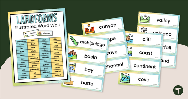
Illustrated Landform Vocabulary Word Wall
Show your students examples of different landforms with a set of printable Landform word and picture cards.
- Plus Plan
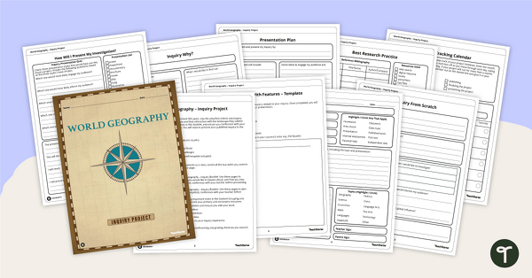
World Geography – Country Research Project Inquiry Task
Help your students discover new countries with our printable country research project template.
- Plus Plan
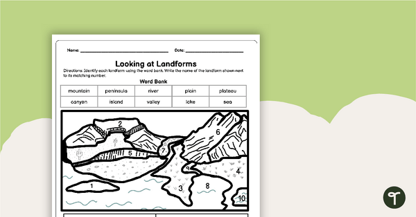
Looking at Landforms Worksheet
Identify the major landforms of the world with a labeling worksheet.
- Free Plan
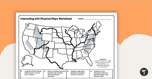
Free U.S. Mountains, Rivers, and Land Features Worksheet
Apply knowledge of the major U.S. land features, mountains, and rivers with a map labeling worksheet.
- Free Plan
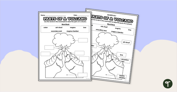
Diagram of a Volcano - Labeling Worksheet
Label the diagram of a volcano with a printable volcano worksheet.
- Plus Plan
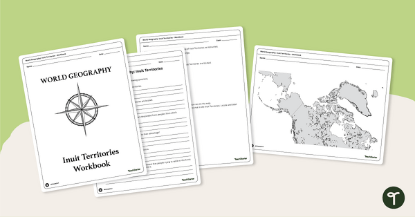
Geography of the Inuit - Canada Territories Worksheets
A workbook for students to use their investigation and map while learning about civilizations in Inuit Territories.
- Plus Plan
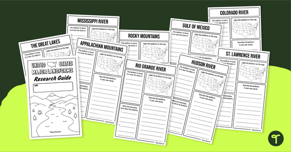
U.S. Mountains and Rivers - Student Research Workbook
Research and write about the different major mountains, rivers, and land features in the United States with a printable workbook.
- Plus Plan
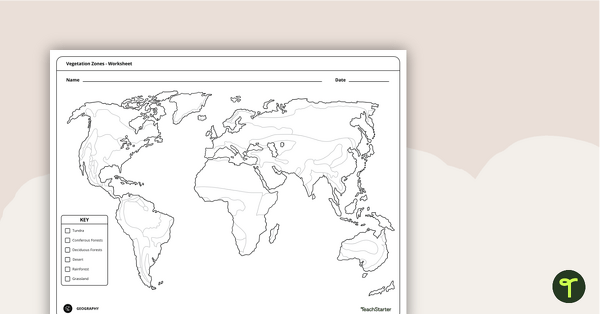
World Vegetation Zones - Mapping Template
Locate and explore different vegetation zones around the world with this mapping worksheet.
- Plus Plan
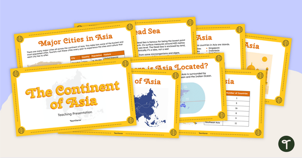
The Continent of Asia - Teaching Presentation
Familiarize your students with the physical and human geography of Asia with this comprehensive instructional slide deck.
- Plus Plan
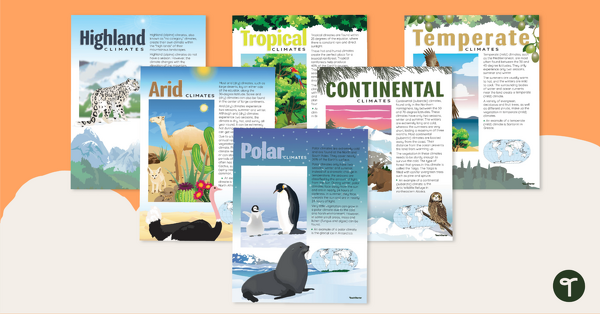
Climate Zones of the World – Poster Pack
Learn about different climate types with this set of 6 printable posters.
- Plus Plan
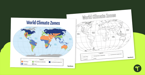
Climate Zone Map — Printable Classroom Resource
Print a climate zone map for the classroom to support lessons about the 6 climate types.
- Plus Plan
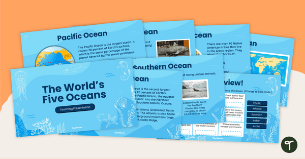
The World's Five Oceans - Instructional Slide Deck
Explore the world’s five oceans with this comprehensive slide deck.
- Plus Plan
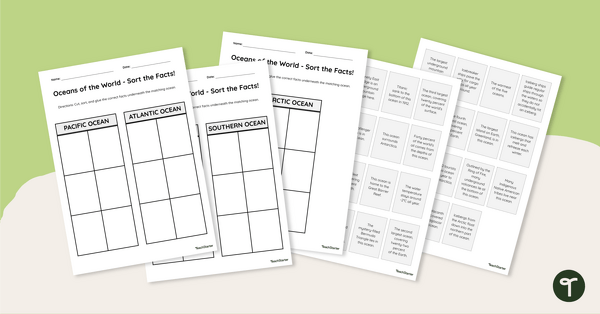
Oceans of the World - Cut and Paste Worksheet
Explore some key facts about the world’s five oceans with this cut-and-paste worksheet.
- Plus Plan
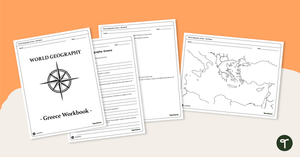
Features of Greece Map & Geography Worksheet Pack
Print a map of Greece and pack of geography worksheets for 6th grade.
- Plus Plan
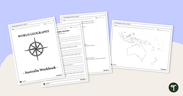
Physical Features of Australia – Geography Worksheets
A printable pack of worksheets for students to learn about Australia's geography and complete a labeled map of Australia.
- Plus Plan
Discover Egypt – Geography Worksheets
A workbook for students to use their investigation and map while learning about physical geography in Egypt.
- Plus Plan
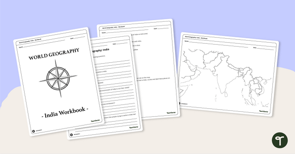
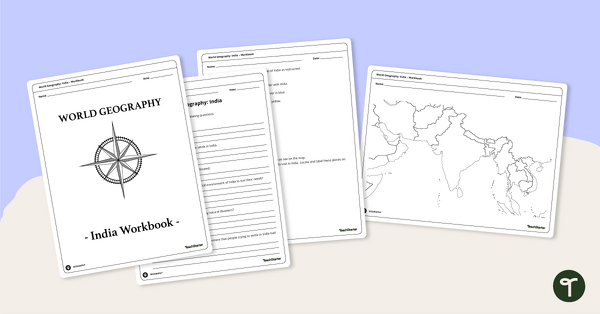
Countries of the World - Geography of India Worksheets
A workbook for students to use their investigation and map skills while learning about civilizations in India.
- Plus Plan
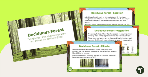
Deciduous Forest Biome Slide Deck
An 11-slide editable PowerPoint to use in the classroom when learning about deciduous forests.
- Plus Plan
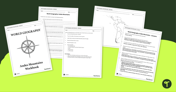
Analyze and Label South America Map & Andes Mountain Worksheet Pack
Explore civilizations in the Andes Mountains with students using the printable map and worksheet pack for sixth graders.
- Plus Plan
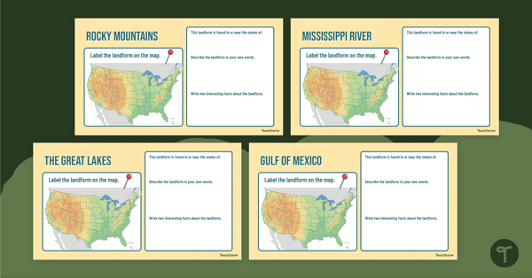
Major U.S. Landform Interactive Research Guide
Research and record facts and details about the different major mountains, rivers, lakes, and other landmarks in the U.S. with an interactive research guide.
- Plus Plan
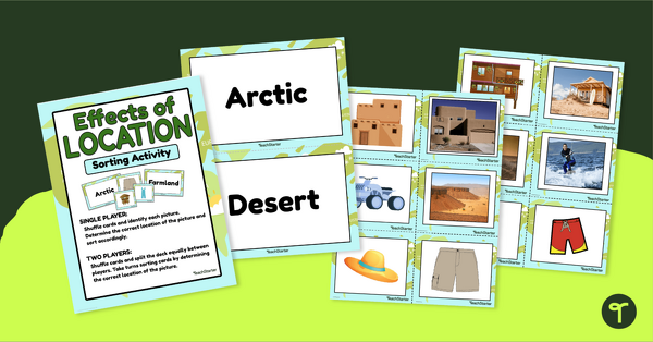
Effects of Physical Location Sort
Help children learn how the environment affects those that live in a specific area with a sorting activity.
- Plus Plan
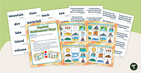
Our Physical Environment Bingo
Build and master the ability to identify land and water formations in the physical environment with a game of Physical Environment Bingo!
- Plus Plan
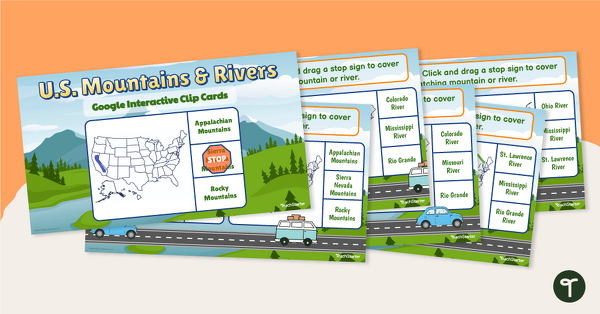
U.S. Mountain and River Interactive Clip Cards
Identify the major rivers and mountains in the United States with a set of Google Slides interactive clip cards.
- Plus Plan
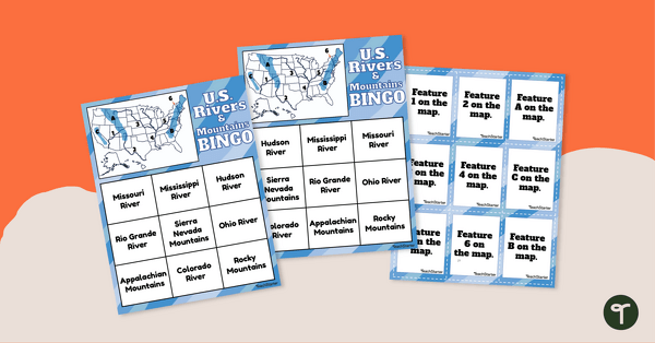
U.S. Rivers and Mountains Bingo Game
Practice identifying the major rivers and mountains in the United States with a Bingo Game.
- Plus Plan
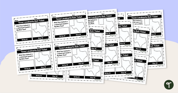
Texas Landmarks Exit Tickets
Supplement your Texas history and geography lessons with a group of Texas Landmark exit tickets.
- Plus Plan
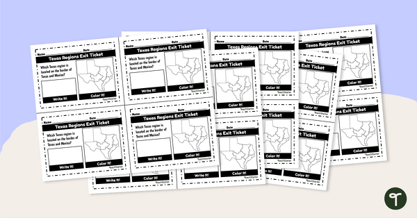
Texas Regions Exit Tickets
Supplement your Regions of Texas lessons with a group of exit tickets.
- Free Plan
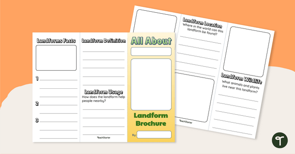
Landforms of the World - Brochure Template
Add to your bank of landform project ideas with a free Landform Research Brochure.
- Plus Plan
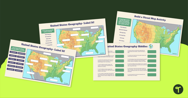
Major U.S. Landforms Google Interactive
Practice identification of the major rivers, mountains, and land features in the United States with a Google Interactive activity.
- Plus Plan
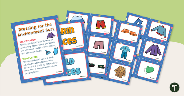
Dressing for the Physical Environment Sorting Activity
Help children learn about dressing for the environment by sorting clothing items into categories for warm climate and cold climate.
- Plus Plan
Desert Page Border
A page border with a desert theme.
- Plus Plan

The Continent of South America PowerPoint
A 20-slide, editable PowerPoint template to use when introducing students to the geographical features of South America.
- Plus Plan

The Continent of Africa PowerPoint
A 20 slide editable PowerPoint template to use when introducing students to the geographical features of Africa.