TEKS Social Studies
- Plus Plan
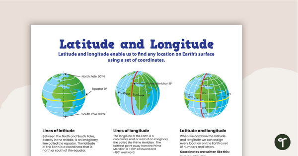
Latitude and Longitude Poster
Use this educational poster when students are learning about geographical coordinates, latitude and longitude.
- Plus Plan
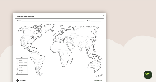
World Vegetation Zones - Mapping Template
Locate and explore different vegetation zones around the world with this mapping worksheet.
- Plus Plan
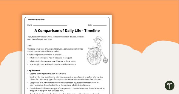
A Comparison of Daily Life - Assessment Task
An open-ended assessment task for students to demonstrate their understanding of how toys, types of transportation, and communication devices and their uses have changed over time.
- Plus Plan
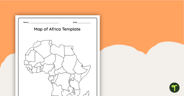
Blank Map of Africa Template
Record and represent data about the location of significant places with this printable blank map of the continent of Africa.
- Plus Plan
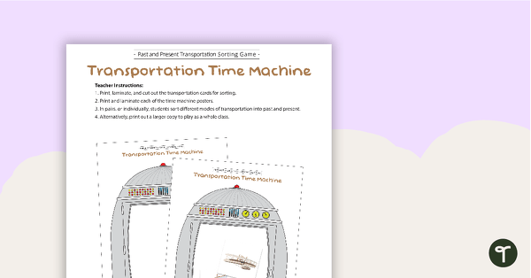
Transportation Time Machine - Past and Present Transportation Sorting Activity
A fun sorting game for students to identify past and present modes of transportation.
- Plus Plan
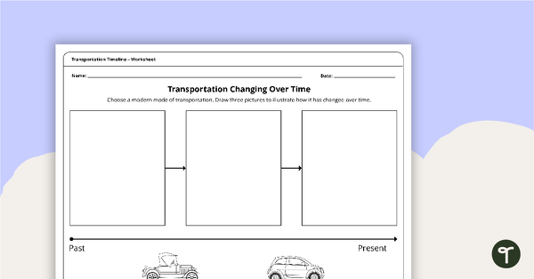
Transportation Changing Over Time - Timeline Worksheet
A worksheet for students to illustrate how transportation has changed over time.
- Plus Plan
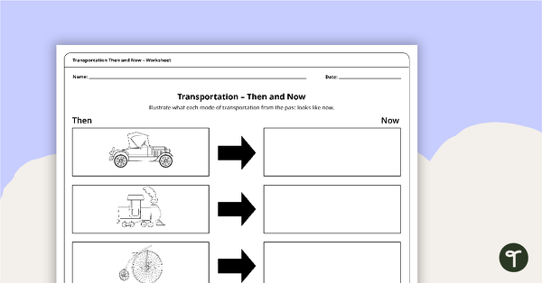
Transportation Then and Now - Worksheet
A set of 2 worksheets for students to identify how transportation has changed over time.
- Plus Plan
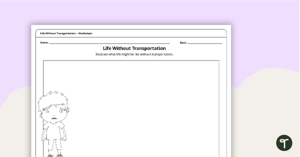
Life Without Transportation - Worksheet
A worksheet for students to identify how we use transportation in our daily lives.
- Plus Plan
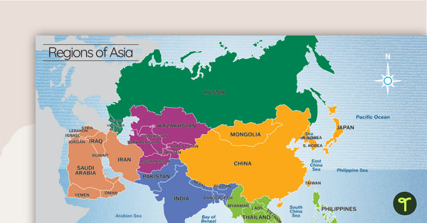
Map of the Regions of Asia
A map showing the layout, regions and major countries of Asia.