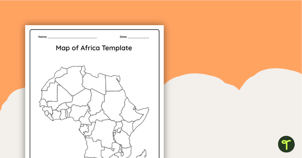
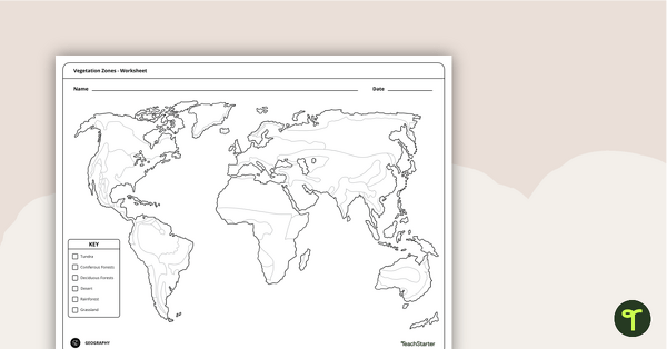
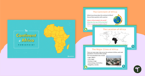
Record and represent data about the location of significant places with this printable blank map of the continent of Africa.
A Printable Blank Map of Africa for Labeling
Are you exploring the vast continent of Africa with your students? You’re going to need a map!
Use this unlabeled, black-and-white map of Africa to help your students become more familiar with the natural and human features of this diverse continent.
Multiple Uses for This Map of Africa Worksheet
This blank map of Africa makes a great addition to your Social Studies resources and can be used in a multitude of ways in your classroom. Here are some suggestions:
Label key locations as a whole-class activity
This versatile Africa map can be projected onto your interactive whiteboard for a paperless lesson or class review session. Have students take turns coming to the board to locate and label key locations on the blank map using a whiteboard marker.
Create a progressive, comprehensive map of Africa
At the beginning of a unit of work on Africa, provide students with their own printed copy of the blank Africa map. During the course of your unit of work, have students add more and more detail to their maps. They could add features such as:
- Countries
- Capital cities
- Regional centers
- Major rivers
- Mountain ranges
- Deserts
- Rainforests
- Other key landmarks
Tips for Scaffolding and Extention
In any classroom, there is a multitude of learning needs that must be catered for in every single lesson! We’re here to help with some tips and tricks that may help you differentiate the application of this teaching resource:
- Scaffolding Tips: Some students may find the precise nature of mapping difficult… and that’s okay! Support them by allowing them to access an atlas or digital mapping tool while completing the activity. Completing mapping tasks in a small group can also make students feel more supported and confident in their learning.
- Extension Tips: For those students who are confident in their geographical skills, why not fine-tune their mapping skills by having them add additional map features to their map? For example, students could apply a color-coding system for various locations or features, then add these to a legend or key.
Download Your Preferred File Format
Use the dropdown arrow next to the Download button to access the easy-print PDF version or the editable Google Slides version of this resource.


0 Comments
Write a review to help other teachers and parents like yourself. If you'd like to request a change to this resource, or report an error, select the corresponding tab above.