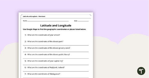
Use this educational poster when students are learning about geographical coordinates, latitude and longitude.
What Are Lines of Latitude and Longitude?
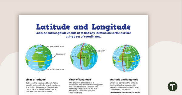
Latitude and longitude are imaginary lines on the Earth’s surface. They enable us to find any location on Earth using a set of specific coordinates. When we combine the latitude
and longitude, we can assign every location on Earth a set of numbers and letters.
Between the North and South Poles, exactly in the middle, is an imaginary line called the equator. The latitude of the Earth is a coordinate that is north or south of the equator.
The longitude of the Earth is a coordinate east or west of an imaginary line called the Prime Meridian. The farthest point away from the Prime Meridian is +180° eastward and -180° westward.
Multiple Applications of Latitude and Longitude Poster
This informative classroom poster has been designed to support you in your teaching about the features of maps and globes. It is the perfect resource to accompany your Geography lessons on map skills. You may wish to use this poster in the following ways:
- Print the poster on tabloid paper and display it in your classroom as a reminder of how lines of latitude and longitude work.
- As you teach your students about lines of latitude and longitude, provide students with a smaller version of the poster to paste into their notebooks.
- Project the poster onto your interactive whiteboard for a paperless lesson about lines of latitude and longitude.
Download, Print, Teach!
This resource downloads as a full-color PDF and can be accessed via the dropdown menu above.


0 Comments
Write a review to help other teachers and parents like yourself. If you'd like to request a change to this resource, or report an error, select the corresponding tab above.