VC2M3SP02
interpret and create two-dimensional representations of familiar environments, locating key landmarks and objects relative to each other
- designing the layout of a space; for example, designing a proposed games room or a classroom using a blank sheet of paper as the boundary and cutouts of shapes to represent furniture from a top-view perspective
- locating themselves within a space, such as a basketball court, oval, stage or assembly hall, guided by a simple hand-held plan indicating the different positions of the participants in the activity
- sketching a map indicating where they have hidden an object within the classroom, swapping maps with partners and then providing feedback about what was helpful and what was confusing on the map
- identifying differences in the representation of a place on a map, in an aerial photograph, in a street view and in a satellite image, and discussing the different information the representations can give
- exploring land maps or cultural maps used by Aboriginal and Torres Strait Islander Peoples to locate, identify and position important landmarks such as waterholes
- Plus Plan
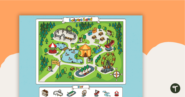
Leisure Land - Map Skills Worksheet
Explore map skills with a theme park compass rose activity for Years 2–3.
- Plus Plan
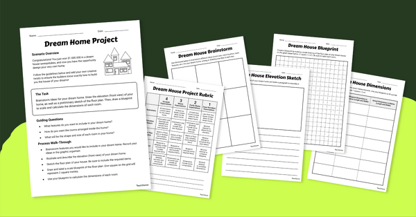
My Dream Home Project
Introduce our 'My Dream Home Project’ to your students to help them increase spatial skills while designing the house of their dreams!
- Plus Plan
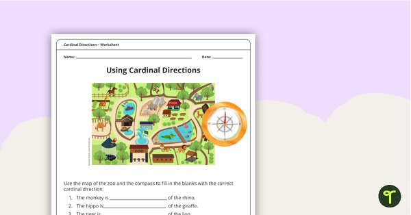
Using Cardinal Directions – Worksheet
A worksheet to practise using cardinal directions.
- Plus Plan
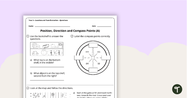
Location and Transformation Worksheets - Year 3
4 location and transformation worksheets linked to the Australian Curriculum.
- Plus Plan
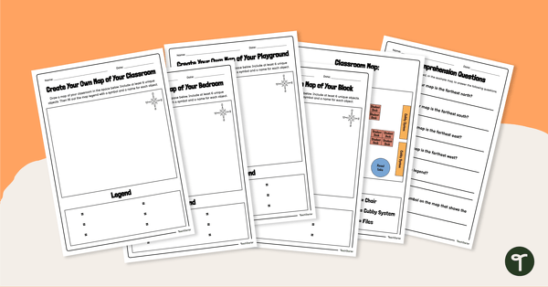
Create Your Own Map - Worksheet
Create simple maps of familiar places with this set of map templates and accompanying comprehension questions.
- Plus Plan
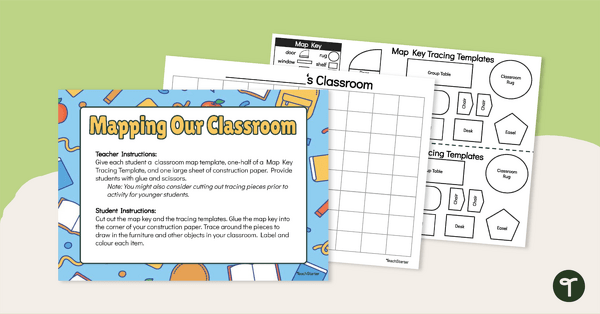
A Map of Our Classroom - Mapmaking Project
Develop primary mapping skills with a classroom mapping project.
- Plus Plan
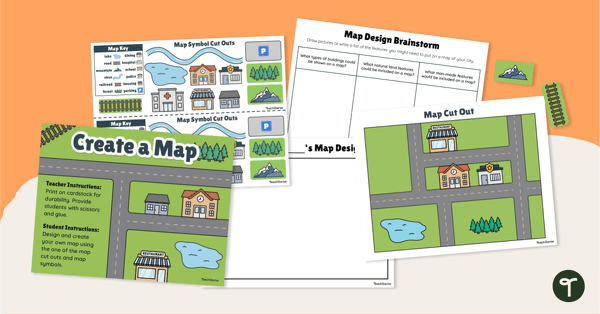
A Map of a City - Mapmaking Project
Engage young learners in developing their map skills with a design-your-own map project.
- Plus Plan
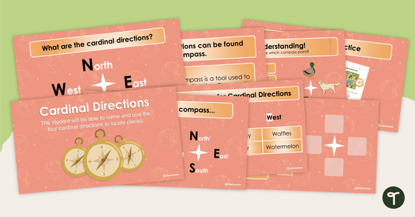
Cardinal Directions PowerPoint
An editable PowerPoint to use when teaching your students about cardinal directions.
- Plus Plan
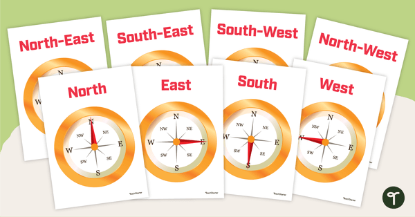
Cardinal and Intermediate Directions - Poster Pack
Display these cardinal and intermediate directions posters when exploring the compass rose with your students.