VC2M5SP02
construct a grid coordinate system that uses coordinates to locate positions within a space; use coordinates and directional language to describe position and movement
- understanding how the numbers on the axes on a grid coordinate system are numbers on a number line and are used to pinpoint locations
- discussing the conventions of indicating a point in a grid coordinate system; for example, writing the horizontal axis number first and the vertical axis number second, and using brackets and commas
- comparing a grid reference system to a grid coordinate system (first quadrant only) by using both to play strategy games involving location; for example, in playing the game Quadrant Commander, deducing that in a grid coordinate system the lines are numbered (starting from zero), not the spaces
- placing a coordinate grid over a contour line, drawing and listing the coordinates of each point in the picture, asking a peer to re-create the drawing using only the list of coordinates, and discussing the reasons for the potential similarities and differences between the 2 drawings
- Plus Plan
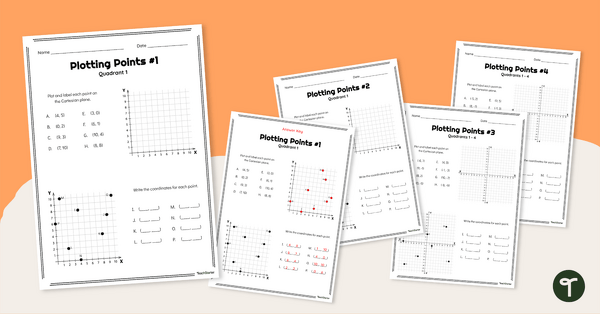
Cartesian Planes Worksheets
Utilise this Cartesian plane worksheet set to give your students practise locating and plotting points on the Cartesian plane.
- Plus Plan
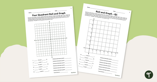
Cartesian Plane Games — "Roll and Graph"
Play our Cartesian plane games in your classroom to enhance students’ ability to plot points and find the distance between them.
- Plus Plan
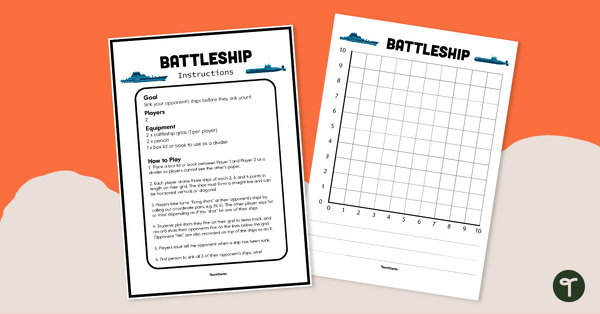
Battleship Plotting Game (Quadrant 1 of the Cartesian Plane)
Use this grid system game to practise plotting coordinates on Quadrant 1 of the Cartesian plane.
- Plus Plan
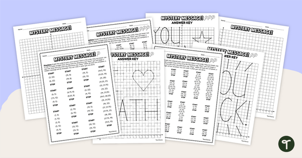
Cartesian Plane Mystery Pictures
Practise graphing on the Cartesian plane with this set of differentiated mystery pictures.
- Free Plan
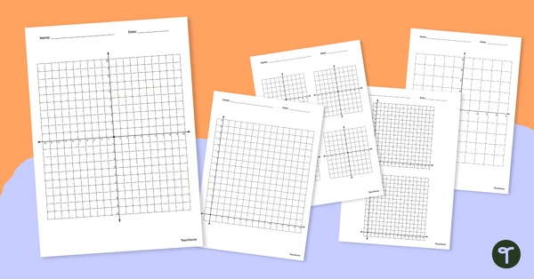
Cartesian Plane Template Set
Download this Cartesian plane template set for use in your Cartesian planes or graphing unit.
- Plus Plan
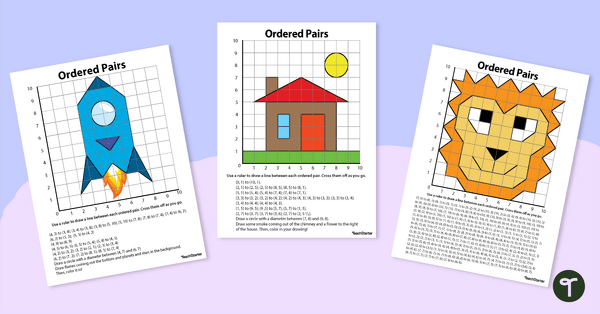
Cartesian Plane Drawing Pack
Use this Cartesian Plane Drawing Pack to give your students practice plotting coordinates on the Cartesian plane.
- Plus Plan
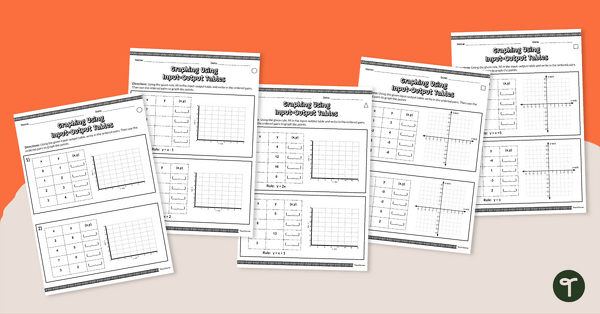
Input / Output Data Tables and Graphs Worksheets
Differentiate instruction with these data tables and graphs worksheets that have students completing input / output tables and plotting the points on a Cartesian plane.
- Plus Plan
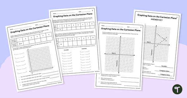
Graphing Data Worksheets (Cartesian Plane)
Introduce these graphing data worksheets to your students to give them practise graphing real-world situations on the Cartesian plane.
- Plus Plan
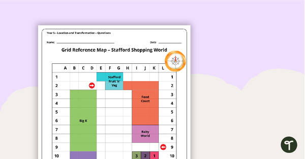
Location and Transformation Worksheets - Year 5
7 location and transformation worksheets linked to the Australian Curriculum.
- Plus Plan
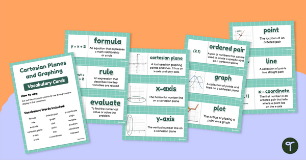
Cartesian Planes and Graphing – Vocabulary Cards
Introduce cartesian planes to your students with this set of 18 vocabulary cards.
- Plus Plan
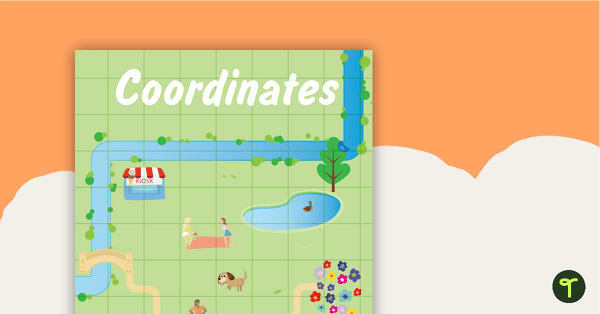
Coordinates Posters
Two posters to display in your classroom explaining coordinates.
- Plus Plan
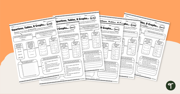
Equations, Tables, and Graphs, Oh My! – Differentiated Worksheets
Use these differentiated worksheets to practise using equations to create patterns within input-output tables and graphs.
- Plus Plan
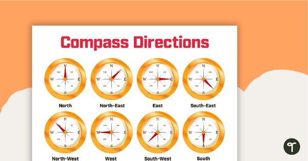
Cardinal and Intermediate Directions Poster
Display this cardinal and intermediate directions poster when exploring the compass rose with your students.
- Plus Plan
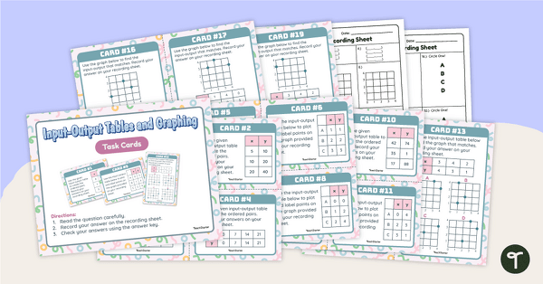
Input-Output Tables and Graphing Task Cards
Practise reading input-output tables and plotting points in the first quadrant with this set of task cards.