Geography
- Free Plan
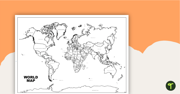
World Map with Countries - Black and White
Teach your students about the continents and countries of the world with this black-and-white world map.
- Plus Plan
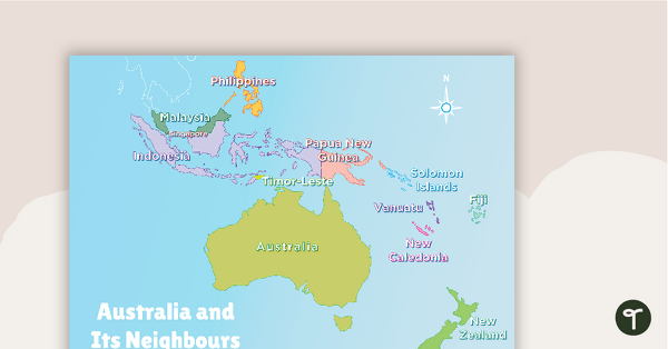
Australia and Its Neighbours - Poster and Labelling Activity
A set of maps and worksheet for students to use when looking at Australia and its neighbours.
- Plus Plan
Australia-Centred World Map
Teach your students about the continents, oceans and countries of the world with this Australia-centred world map.
- Free Plan
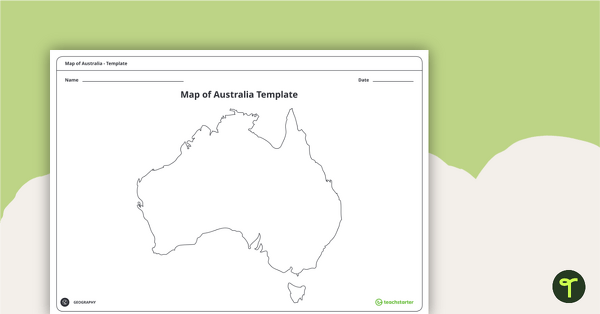
Blank Map of Australia - Template
Record and represent data about the location of significant places with this printable blank map of the continent of Australia.
- Plus Plan
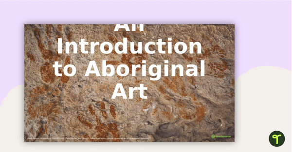
An Introduction to Aboriginal Art PowerPoint
A 54 slide editable PowerPoint to use in the classroom when learning about Aboriginal art.
- Plus Plan
Australian Landform Map
A map of Australia showing the major landforms.
- Plus Plan
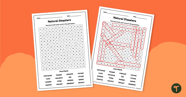
Natural Disasters Word Search
Use a Natural Disasters word search to introduce your students to the vocabulary surrounding these destructive acts of nature.
- Free Plan
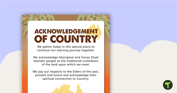
Acknowledgement of Country Poster
A simple Acknowledgement of Country poster to display in your classroom.
- Free Plan
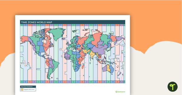
Time Zones World Map
A poster to display in the classroom to show the different time zones of the world.
- Plus Plan
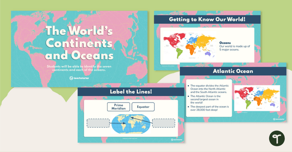
The World's Continents and Oceans – Teaching Presentation
Explore the seven continents and five oceans of the world with this comprehensive teaching presentation.
- Plus Plan
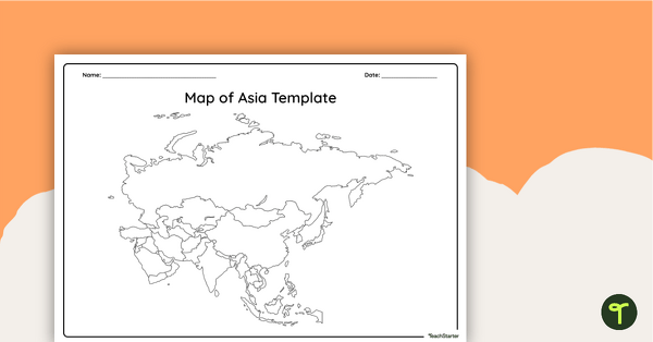
Blank Map of Asia - Template
Record and represent data about the location of significant places with this printable blank map of the continent of Asia.
- Plus Plan
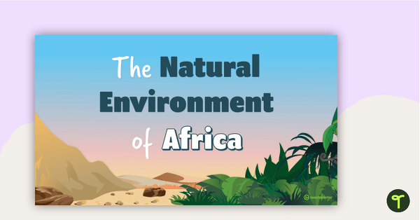
The Natural Environment of Africa PowerPoint
A 17 slide editable PowerPoint template to use when introducing students to the climate, vegetation and animals of Africa.
- Plus Plan
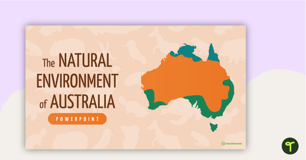
The Natural Environment of Australia PowerPoint
A 23 slide editable PowerPoint template to use when introducing students to the climate, vegetation and animals of Australia.
- Plus Plan
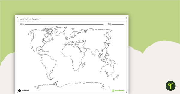
Blank Map of the World - Template
Teach your students about the world’s seven continents and five oceans with this blank map of the world for labelling.
- Free Plan
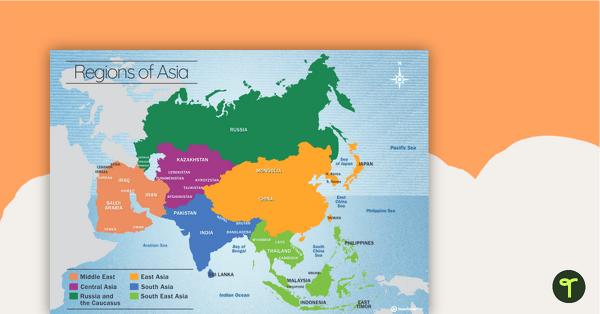
Map of the Regions of Asia
A map showing the layout, regions and major countries of Asia.
- Plus Plan
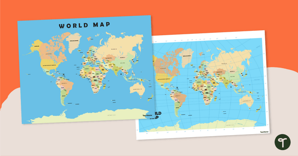
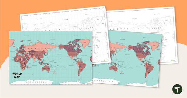
World Map Poster
Teach your students about the continents and countries of the world with this detailed map.
- Plus Plan
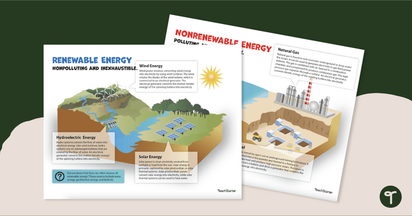
Renewable and Non-renewable Energy Sources Poster Pack
Use our Renewable and Non-Renewable Energy Posters to isplay and examine renewable and non-renewable energy sources, including wind, hydroelectric, solar, natural gas, oil and coal.
- Free Plan
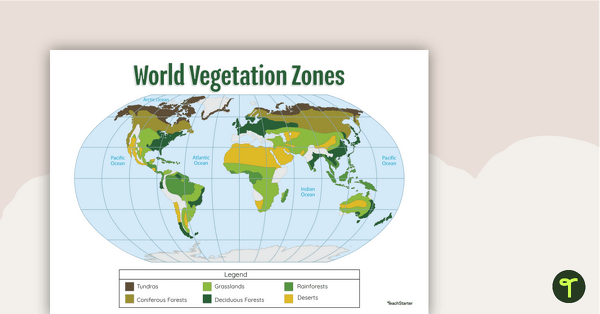
Map of the World's Vegetation Zones
Locate and explore the different biomes of the world with this engaging classroom poster.
- Plus Plan
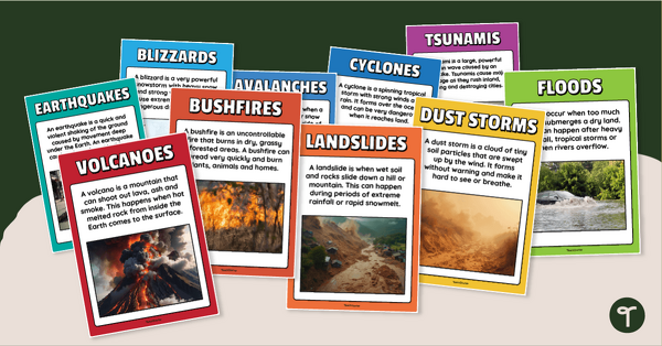
Natural Disaster Posters for Kids
Introduce and explain different types of natural disasters with printable natural disaster posters.
- Plus Plan
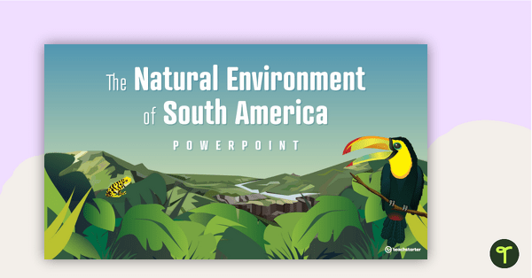
The Natural Environment of South America PowerPoint
A 17 slide editable PowerPoint template to use when introducing students to the climate, vegetation and animals of South America.
- Plus Plan
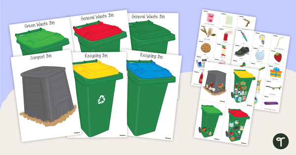
Rubbish Bin Sorting Activity
Learn about recycling, composting and sustainable practices for waste management with a fun sorting activity.
- Free Plan

Develop a Habitat - Garden Project
A project-based assessment task for students to demonstrate their understanding of how habitats can be preserved and protected in and around where people live.
- Plus Plan
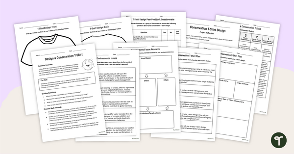
Design a Conservation T-Shirt – Inquiry-Based Project
Use this conservation project to teach your students about how to ignite positive change in the face of a global environmental crisis.
- Plus Plan
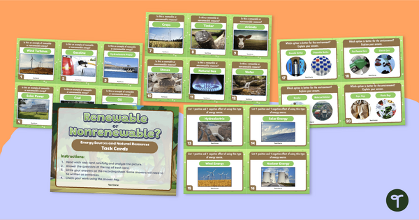
Renewable or Nonrenewable? Earth's Resources Task Cards
Identify natural resources and the types of renewable energy with 24 renewable and nonrenewable resource task cards.
- Plus Plan
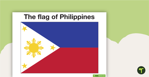
Neighbours of Australia Flags
Twelve flags from countries surrounding Australia.
- Plus Plan
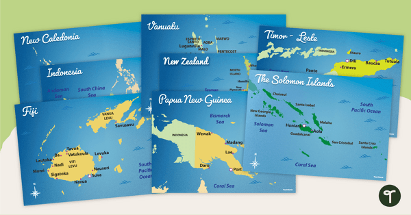
Australia's Neighbouring Countries - Poster Pack
Familiarise your students with Australia’s neighbouring countries with a pack of detailed maps.
- Plus Plan
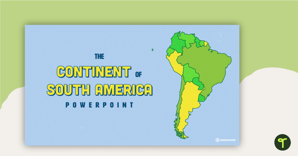
The Continent of South America PowerPoint
A 20 slide editable PowerPoint template to use when introducing students to the geographical features of South America.
- Plus Plan
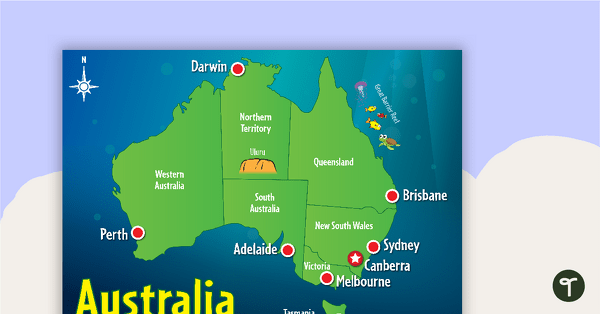
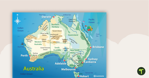
Cartoon Map of Australia
Explore the continent of Australia with a map showing each capital city and some of the most famous landmarks.
- Plus Plan
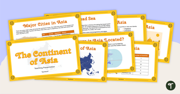
The Continent of Asia - Teaching Presentation
Familiarise your students with the physical and human geography of Asia with this comprehensive teaching presentation.
- Free Plan
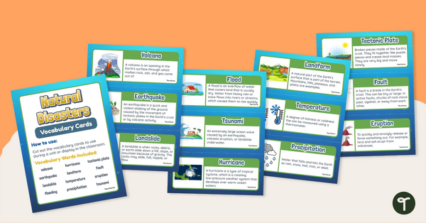
Natural Disasters Vocabulary Display
Reinforce science vocabulary in your classroom with this set of illustrated and annotated natural disaster word wall cards.
- Plus Plan
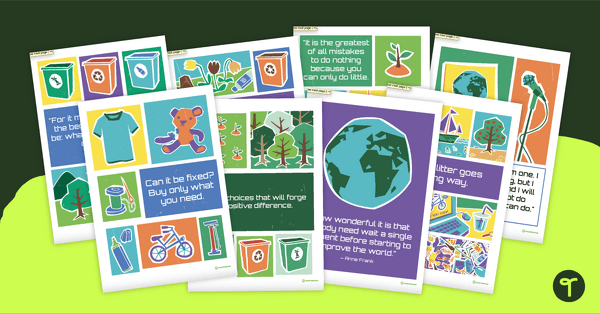
Sustainability Quotes Poster Pack
Inspire sustainable practices in the classroom with a pack of printable Sustainability Quote posters.
- Free Plan
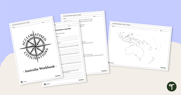
Acclimatised Civilisations: Australia – Workbook
Learn about the physical and human geography of the continent of Australia with this inquiry-based mapping activity.