Build a charming medieval village in our Ye Olde Geometry Town project, designed to give your students engaging hands-on practice with multiple geometry standards.
Challenge Young Scribes With the Noble Tasks of Ye Olde Geometry Town!
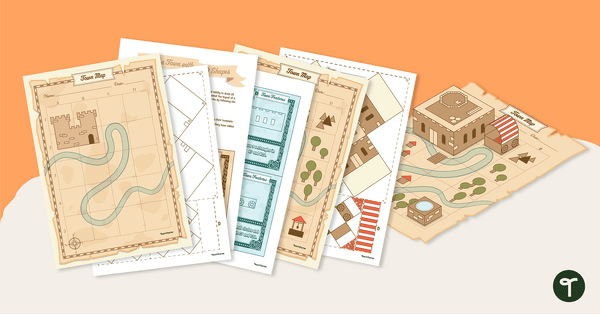
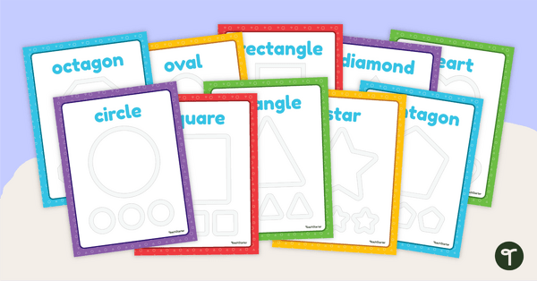
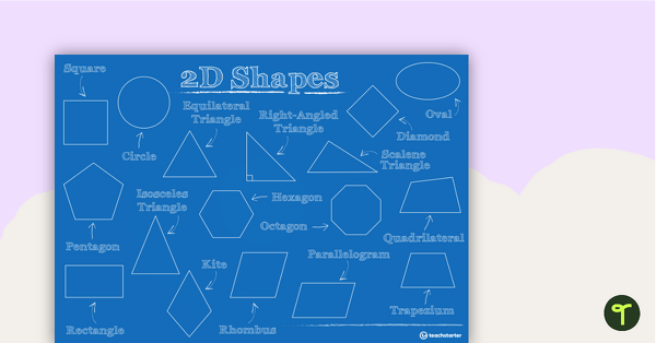
Hear ye, Hear ye! Bring geometry to life in your classroom with our Ye Olde Geometry Town Project! This engaging, hands-on resource combines maths, problem-solving and creativity in a unique project where students build a medieval-themed town using 2D and 3D shapes. Students follow provided instruction cards, each guiding them to draw specific geometric shapes (such as triangles, circles, trapeziums and octagons) at designated coordinates on a map. With both written directions and visual examples, learners practise spatial reasoning, coordinate graphing and shape recognition.
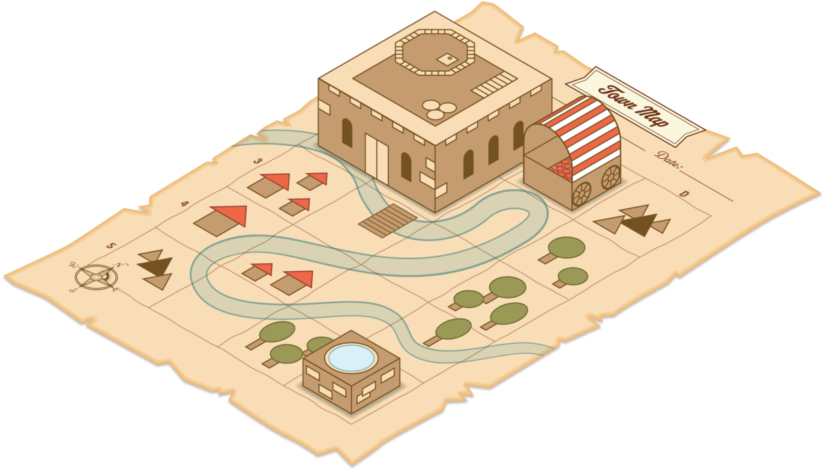
As the town takes ‘shape,’ students use problem-solving skills to place features in unmarked areas. The adventure continues with 3D model-building using step-by-step Origami Box Instructions to create a castle, well and cart, which they can proudly display on their completed map. Available in both black-and-white and colour versions, Ye Olde Geometry Town is the perfect blend of maths and imagination for your geometry unit!
Included in our Ye Olde Geometry Town Project resource:
- Map template
- 14 Town Map cards
- 12 Town Features cards
- 3D shape templates
- Finished example
- Instructions
Implementing This 2D and 3D Shape Town Activity
This 2D and 3D shape town activity provides students the opportunity to demonstrate their ability to draw and create many shapes. They will add shapes and colour to the templates and slowly reveal the layout of a town and certain features. The town features can be made into 3-D objects by following the Origami Box Step-By-Step Instructions.
Directions:
- Provide each student with a copy of the templates.
- Show the cards one at a time, with the students adding the new feature to their template.
- Have students compare their templates with the completed versions once they have added all the features.
Discussion Questions:
- Does your map look the same as the completed version?
- What order would make drawing the town map easier?
Download Our Ye Olde Geometry Shape Town Project
This geometry shape town project is available in easy-to-print PDF format. To download, simply click the drop-down arrow on the download button and choose between the colour and black-and-white versions.

0 Comments
Write a review to help other teachers and parents like yourself. If you'd like to request a change to this resource, or report an error, select the corresponding tab above.