Geography Teaching Resources
Have you been searching the world (wide web) for printable US and world geography worksheets and digital teaching resources this school year? Get ready to dive into a collection of curriculum-aligned resources created by teachers and rigorously reviewed by the expert teachers on the Teach Starter team!
Meet Common Core and state-level standards with printable and digital resources designed with your lesson plans and students in mind.
Our geography resource collection takes kids of all ages on an educational journey that includes key geographic concepts such as learning cardinal directions, understanding the difference between longitude and latitude, and how to identify the 7 continents, and the 5 oceans. With fun puzzles, map skill worksheets, and teacher created-student-approved resources, students will quickly learn to embrace the world around them with our geography printables.
Geography for Kids Teaching Resources
This collection includes a large selection of map skill resources such as:
- printable world map
- free map skills worksheets
- geography board games
- assessment pieces
- free geography brochure templates
- comprehension texts
- coordinate grid worksheets
- and more!
Within this geography category, you will also find resources that support the teaching of the sub-strands, which includes:
- countries
- environments
- flags
- world landmarks
- reading and labeling maps
- me-on-the-map activities
- landform identification activities
- Plus Plan
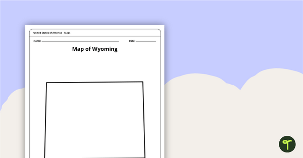
Blank Map of Wyoming Template
Download a blank Wyoming map for your lesson plans, student research projects and more!
- Plus Plan
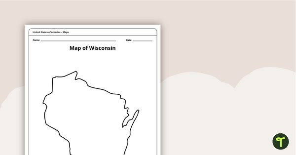
Map of Wisconsin Template
A blank map of Wisconsin to use during Geography lessons.
- Plus Plan
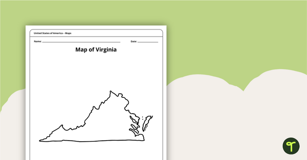
Blank Map of Virginia Template
A blank map of Virginia to use during Geography lessons.
- Plus Plan
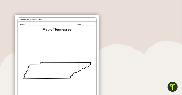
Map of Tennessee Template
A blank map of Tennessee to use during Geography lessons.
- Plus Plan
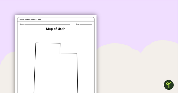
Map of Utah Template
A blank map of Utah to use during Geography lessons.
- Plus Plan
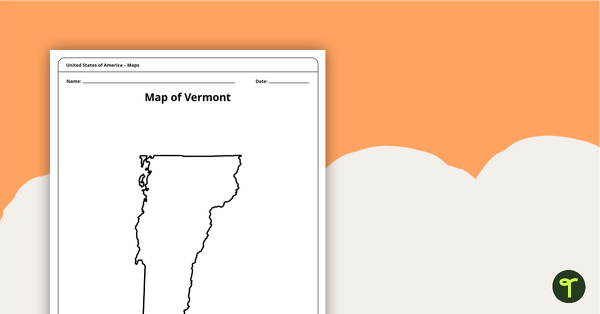
Map of Vermont Template
A blank map of Vermont to use during Geography lessons.
- Plus Plan
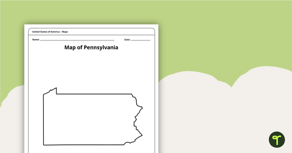
Map of Pennsylvania Template
A blank map of Pennsylvania to use during Geography lessons.
- Plus Plan
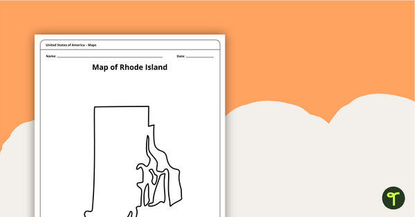
Map of Rhode Island Template
Download a printable blank map of Rhode Island to use during geography and Ocean State history lessons.
- Plus Plan
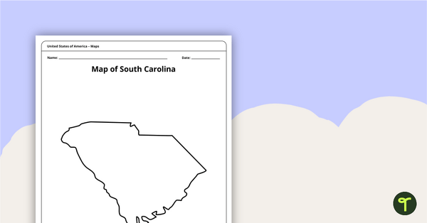
Blank Map of South Carolina Template
Use this printable blank map of South Carolina to during geography and Palmetto State history lessons.
- Plus Plan
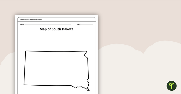
Blank Map of South Dakota Template
A blank map of South Dakota to use during Geography lessons.
- Plus Plan
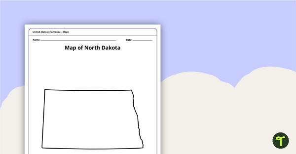
Map of North Dakota Template
A blank map of North Dakota to use during Geography lessons.
- Plus Plan
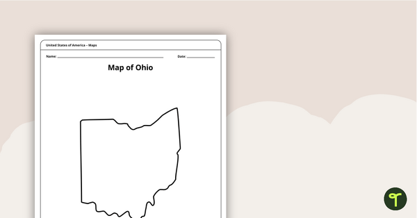
Map of Ohio Template
A blank map of Ohio to use during Geography lessons.
- Plus Plan
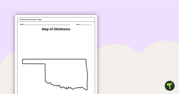
Blank Map of Oklahoma Template
A blank map of Oklahoma to use during Geography lessons.
- Plus Plan
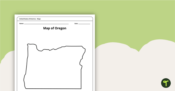
Map of Oregon Template
A blank map of Oregon to use during Geography lessons.
- Plus Plan
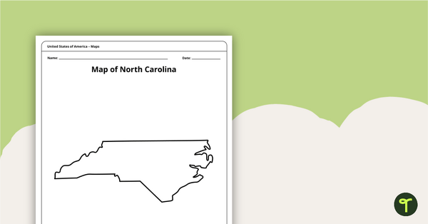
Map of North Carolina Template
A blank map of North Carolina to use during Geography lessons.
- Plus Plan

Blank Printable Map of New York
A blank printable map of New York State to use during Geography lessons.
- Plus Plan
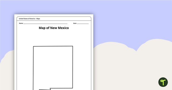
Map of New Mexico Template
A blank map of New Mexico to use during Geography lessons.
- Plus Plan
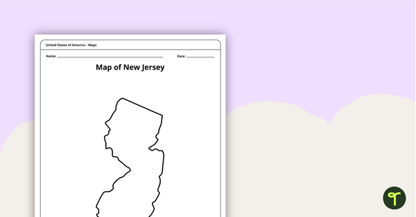
Map of New Jersey Template
A blank map of New Jersey to use during Geography lessons.
- Plus Plan
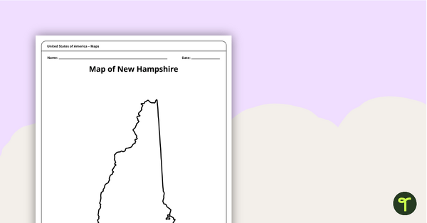
Map of New Hampshire Template
A blank map of New Hampshire to use during Geography lessons.
- Plus Plan
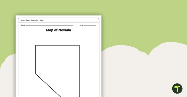
Map of Nevada Template
A blank map of Nevada to use during Geography lessons.
- Plus Plan
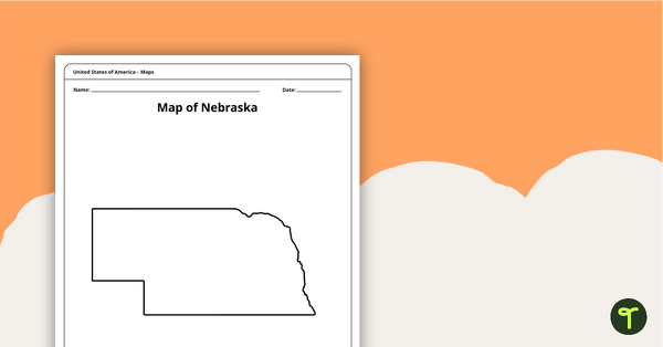
Map of Nebraska Template
A blank map of Nebraska to use during Geography lessons.
- Plus Plan
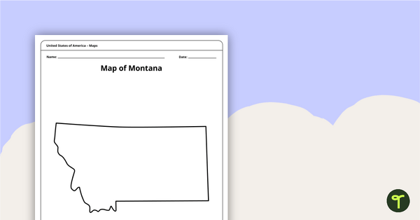
Blank Map of Montana Template
A blank map of Montana to use during Geography lessons.
- Plus Plan
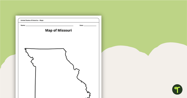
Map of Missouri Template
A blank map of Missouri to use during Geography lessons.
- Plus Plan
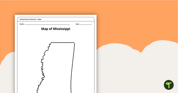
Map of Mississippi Template
A blank map of Mississippi to use during Geography lessons.
- Plus Plan
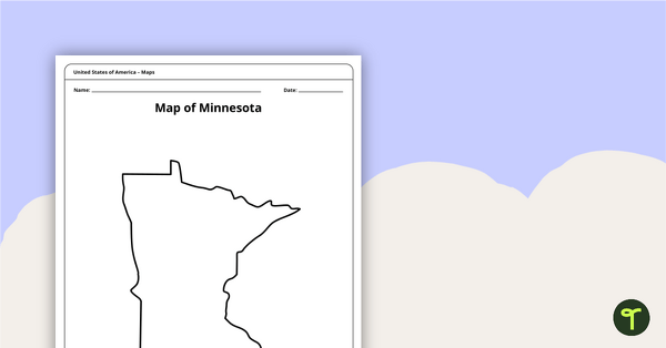
Map of Minnesota Template
A blank map of Minnesota to use during Geography lessons.
- Plus Plan
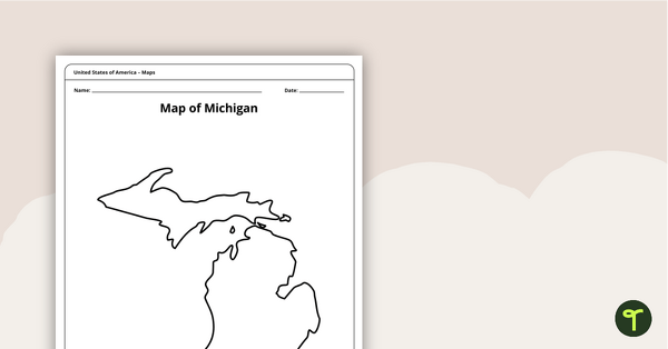
Map of Michigan Template
A blank map of Michigan to use during Geography lessons.
- Plus Plan
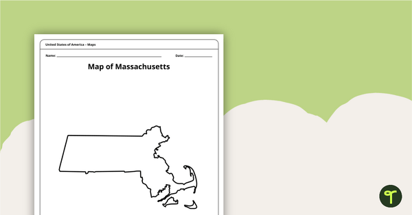
Map of Massachusetts Template
A blank map of Massachusetts to use during Geography lessons.
- Plus Plan
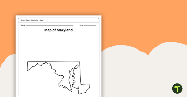
Map of Maryland Template
A blank map of Maryland to use during Geography lessons.
- Plus Plan
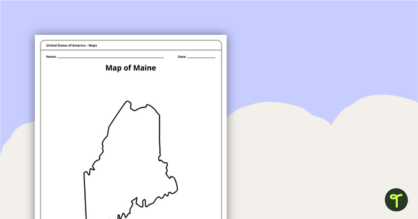
Map of Maine Template
A blank map of Maine to use during Geography lessons.
- Plus Plan
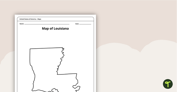
Map of Louisiana Template
A blank map of Louisiana to use during Geography lessons.
- Plus Plan
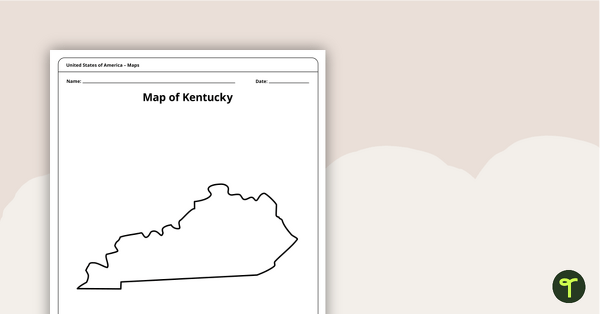
Map of Kentucky Template
A blank map of Kentucky to use during Geography lessons.
- Plus Plan
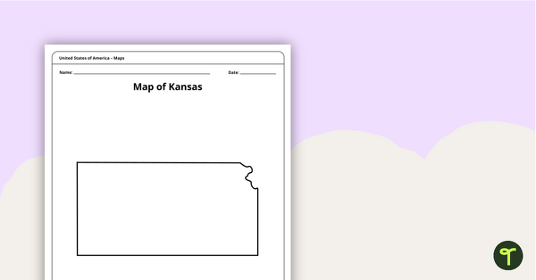
Blank Map of Kansas Template
A blank map of Kansas to use during Geography lessons.