Geography Teaching Resources
Have you been searching the world (wide web) for printable US and world geography worksheets and digital teaching resources this school year? Get ready to dive into a collection of curriculum-aligned resources created by teachers and rigorously reviewed by the expert teachers on the Teach Starter team!
Meet Common Core and state-level standards with printable and digital resources designed with your lesson plans and students in mind.
Our geography resource collection takes kids of all ages on an educational journey that includes key geographic concepts such as learning cardinal directions, understanding the difference between longitude and latitude, and how to identify the 7 continents, and the 5 oceans. With fun puzzles, map skill worksheets, and teacher created-student-approved resources, students will quickly learn to embrace the world around them with our geography printables.
Geography for Kids Teaching Resources
This collection includes a large selection of map skill resources such as:
- printable world map
- free map skills worksheets
- geography board games
- assessment pieces
- free geography brochure templates
- comprehension texts
- coordinate grid worksheets
- and more!
Within this geography category, you will also find resources that support the teaching of the sub-strands, which includes:
- countries
- environments
- flags
- world landmarks
- reading and labeling maps
- me-on-the-map activities
- landform identification activities
- Plus Plan

Map of Iowa Template
A blank map of Iowa to use during Geography lessons.
- Plus Plan
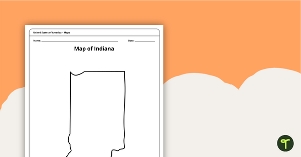
Map of Indiana Template
A blank map of Indiana to use during Geography lessons.
- Plus Plan
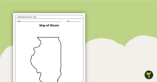
Illinois Outline - Blank Map
Use a blank outline of the state of Illinois to kick off your state Geography lessons.
- Plus Plan
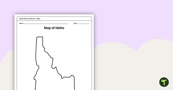
Map of Idaho Template
A blank map of Idaho to use during Geography lessons.
- Plus Plan
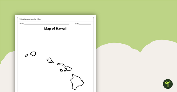
Map of Hawaii Template
A blank map of Hawaii to use during Geography lessons.
- Plus Plan
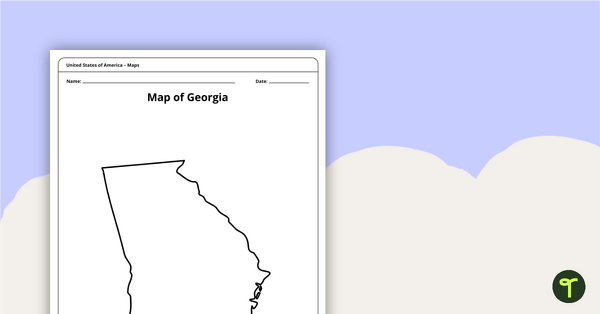
Map of Georgia Template
Download a blank Georgia map for the classroom. The printable PDF for teachers is perfect for student research projects and map skills lessons.
- Plus Plan
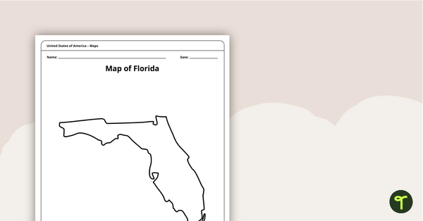
Map of Florida Template
A blank map of Florida to use during Geography lessons.
- Plus Plan
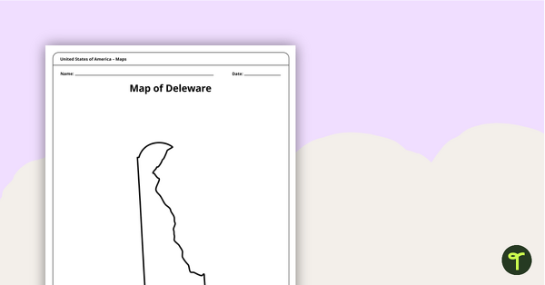
Map of Delaware Template
A blank map of Delaware to use during Geography lessons.
- Plus Plan
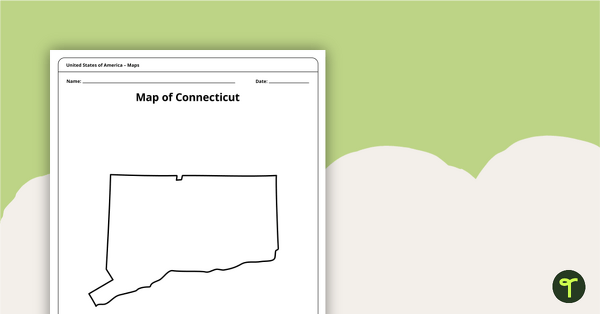
Map of Connecticut Template
A blank map of Connecticut to use during Geography lessons.
- Plus Plan
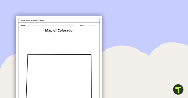
Map of Colorado Template
A blank map of Colorado to use during Geography lessons.
- Plus Plan
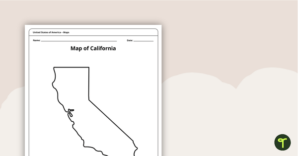
Blank Map of California Template
A blank map of California to use during Geography lessons.
- Plus Plan
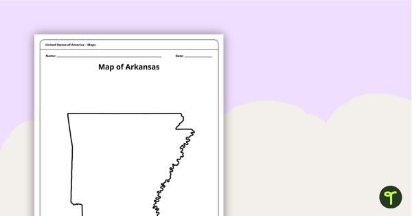
Map of Arkansas Template
A blank map of Arkansas to use during Geography lessons.
- Plus Plan
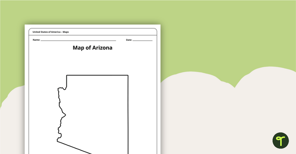
Map of Arizona Template
A blank map of Arizona to use during Geography lessons.
- Plus Plan
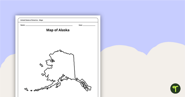
Printable Map of Alaska - Outline
Print an Alaska state map outline to jump-start your students into state research projects.
- Plus Plan
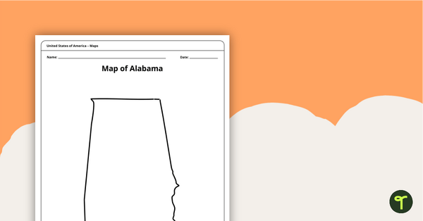
Alabama State Map Template
Download a blank map of Alabama for the classroom. The printable PDF is perfect for student research projects and map skills lessons.
- Plus Plan
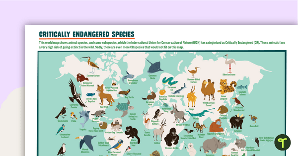
Critically Endangered Species Map
Use this endangered species world map when exploring animals that have been placed on the Critically Endangered list.
- Plus Plan
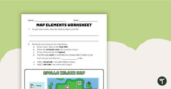
Map Elements Worksheet
Apply knowledge of the components of a map to this map elements worksheet.
- Plus Plan
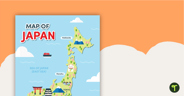
Map of Japan
A map of Japan featuring the names of the main islands and well-known landmarks.
- Plus Plan
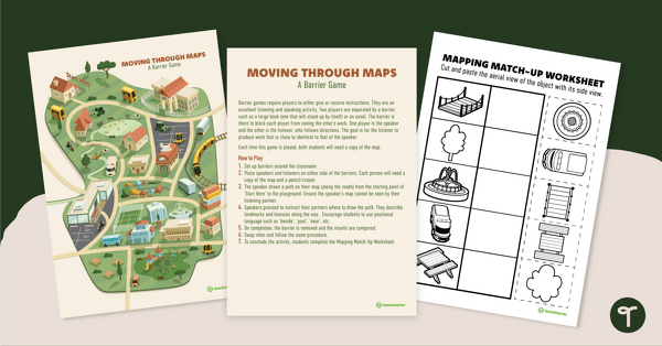
Moving Through Maps - Barrier Game
Practice basic mapping skills with a fun partner game that encourages use of positional language.
- Plus Plan
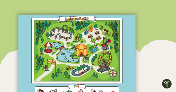
Leisure Land - Map Skills Worksheet
Practice using cardinal directions with this carnival map and worksheet.
- Free Plan
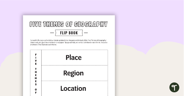
Geography Flip Book
A flip book to use when learning about geography.
- Plus Plan
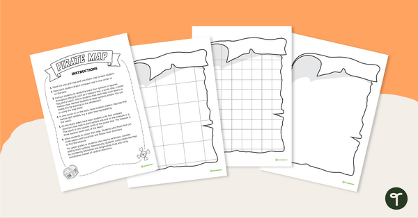
Treasure Island - Mapping Skills Worksheet
Put mapping skills into practice by creating a map of a treasure island!
- Plus Plan
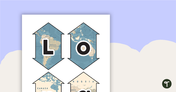
Latitude and Longitude Banners
Latitude and longitude banners to display in the classroom when studying geography.
- Plus Plan
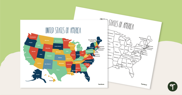
Labeled Map of the United States
Teach your students about the geography of the United States of America with this detailed map.
- Plus Plan
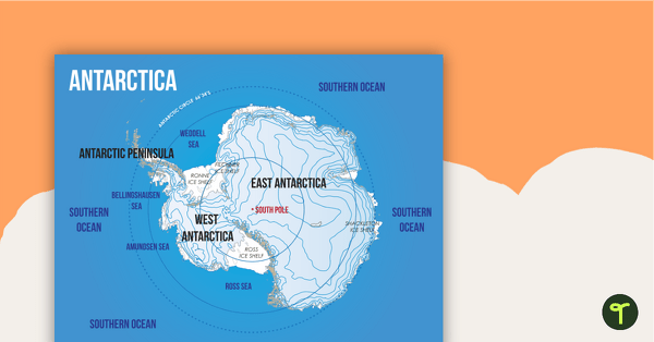
Map of Antarctica
A map showing the layout and major features of Antarctica.
- Plus Plan
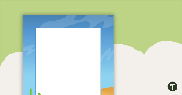
Desert Page Border
A page border with a desert theme.
- Plus Plan
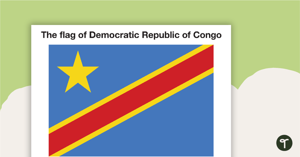
African Flags - BW
Eight black and white flags from Africa.
- Plus Plan
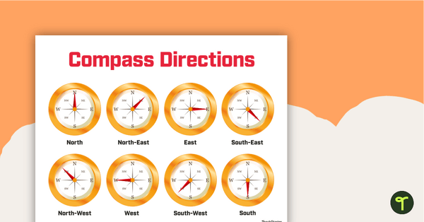
Cardinal and Intermediate Directions Poster
Display this cardinal and intermediate directions poster when exploring the compass rose with your students.
- Plus Plan
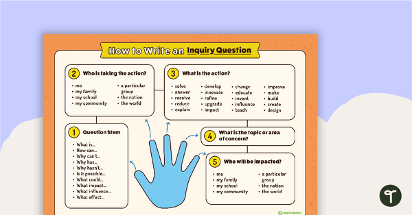
How to Write an Inquiry Question Poster
A poster demonstrating the steps involved in formulating a question for inquiry-based learning.
- Plus Plan
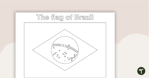
South American Flags - BW
Fourteen black and white flags from South America.
- Plus Plan
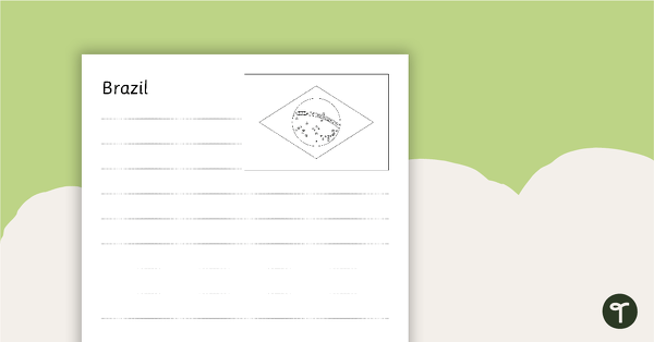
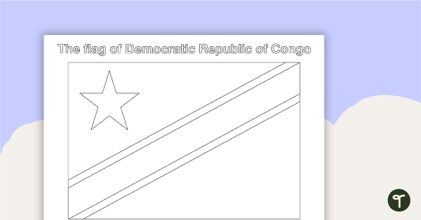
South American Flags Worksheets - BW
Fourteen black and white worksheets with flags from South America.
- Plus Plan
African Flags - Color
Eight colored flags from Africa.