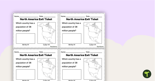
Practice identifying North American countries' locations, flags, and symbols with a quick and easy sorting worksheet.
Let’s Learn about Canada, The United States, and Mexico
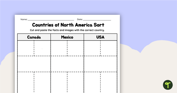
Are you looking for easy ways to assess students during your unit on North America? We’ve got exactly what you need to check understanding in a snap! With this resource, students will cut, sort, and paste symbols, maps, and flags into categories belonging to each country.
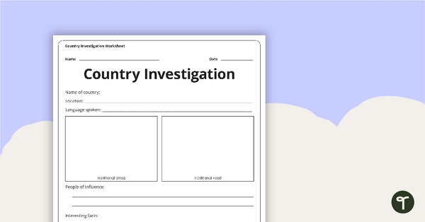
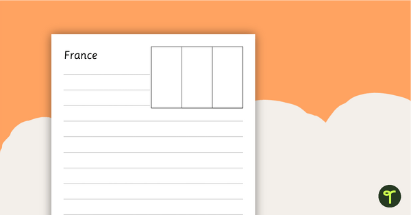
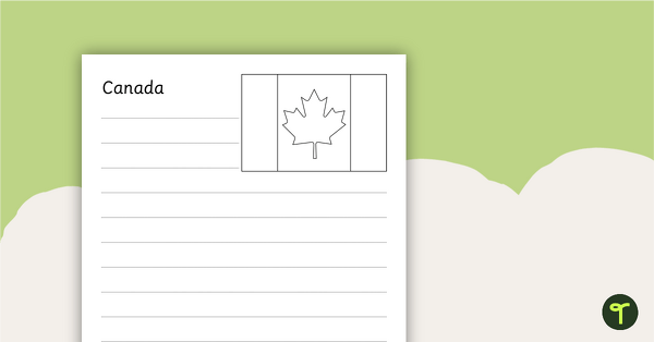
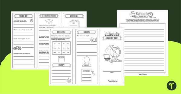
We’ve created a handy worksheet centered around North American countries’ locations, flags, and symbols. This resource helps review concepts related to the North American continent, including the United States, Canada, and Mexico.
This activity is perfect for use as a formative assessment.
Tips for Differentiation + Scaffolding
A team of dedicated, experienced educators created this resource to support your Social Studies lessons.
If you have a mixture of above and below-level learners, check out these suggestions for keeping students on track with the concepts:
🆘 Support Struggling Students
Help students who need help understanding the concepts by
- Completing the activity as a whole group or in a small group session.
- Provide students with a North America anchor chart or map reference sheet during the activity completion.
➕ Challenge Fast Finishers
- Have students make an anchor chart or slide presentation about the different countries in the United States.
- Have students turn their learning into an infographic or research project.
Plan lessons for more U.S. Geography topics with our Geography collection!
Easily Prepare This Resource for Your Students
Use the dropdown icon on the Download button to choose between the PDF or editable Google slide version of the resource.
This resource was created by Lindsey Phillips, a teacher in Michigan and Teach Starter Collaborator.
Don’t stop there! We’ve got more activities and resources that cut down on lesson planning time:
Teach the components of a map with a map elements teaching presentation. With this worksheet, students will understand reflexive pronouns and how they are used in sentences. Apply knowledge of the major U.S. land features, mountains, and rivers with a map labeling worksheet.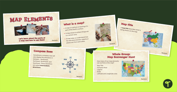
teaching resource
Me on the Map - Map Elements Presentation
teaching resource
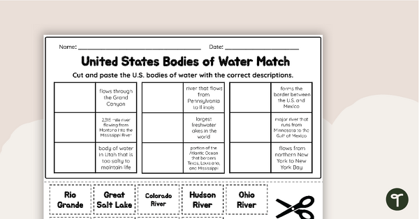
U.S. Geographic Features - Bodies of Water Worksheet

teaching resource
Free U.S. Mountains, Rivers, and Land Features Worksheet

0 Comments
Write a review to help other teachers and parents like yourself. If you'd like to request a change to this resource, or report an error, select the corresponding tab above.