Social Studies 5.6
Geography. The student understands places and regions in the United States. The student is expected to:
- Free Plan

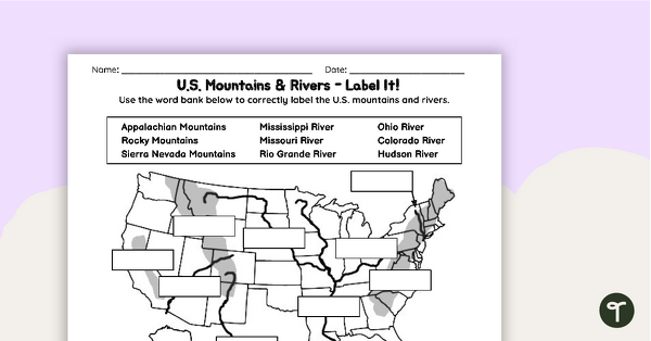
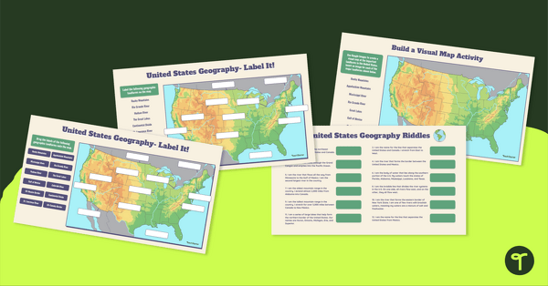
Free U.S. Mountains, Rivers, and Land Features Worksheet
Apply knowledge of the major U.S. land features, mountains, and rivers with a map labeling worksheet.
- Plus Plan
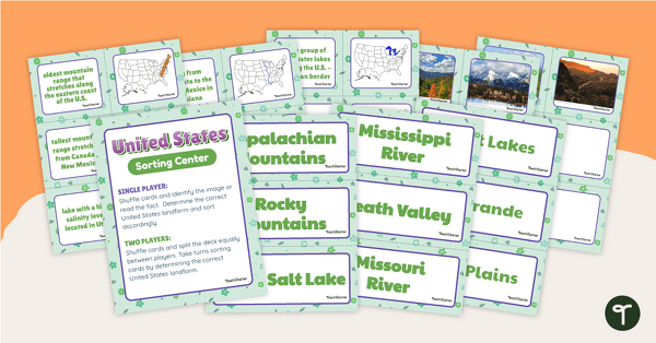
U.S. Land Features Sorting Center
Apply knowledge of the rivers, mountains, and physical features in the United States with a sorting activity.
- Free Plan

Landforms of the World - Brochure Template
Add to your bank of landform project ideas with a free Landform Research Brochure.
- Plus Plan

Map of Washington With Counties and Capital
Download the best printable map of Washington state, including capital city and county lines, for your geography lessons.
- Plus Plan
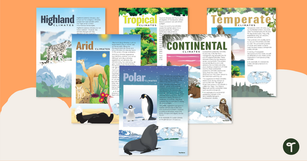
Climate Zones of the World – Poster Pack
Learn about different climate types with this set of 6 printable posters.
- Plus Plan
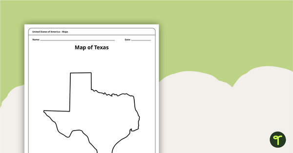
Outline of Texas - Printable Blank Map
A blank map of Texas to use during Geography lessons.
- Plus Plan
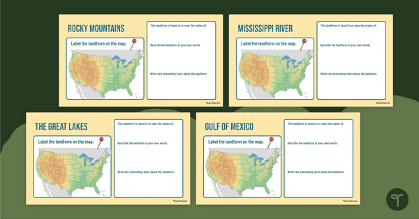
Major U.S. Landform Interactive Research Guide
Research and record facts and details about the different major mountains, rivers, lakes, and other landmarks in the U.S. with an interactive research guide.
- Plus Plan

U.S. Mountains and Rivers - Student Research Workbook
Research and write about the different major mountains, rivers, and land features in the United States with a printable workbook.
- Plus Plan

Using Coordinate Grids-Map Skills Worksheets
A set of 13 worksheets to help teach map skills to students.
- Plus Plan

Google Interactive - Regions of the United States
Practice identifying states in the five regions of the United States with a Google Interactive activity.
- Plus Plan
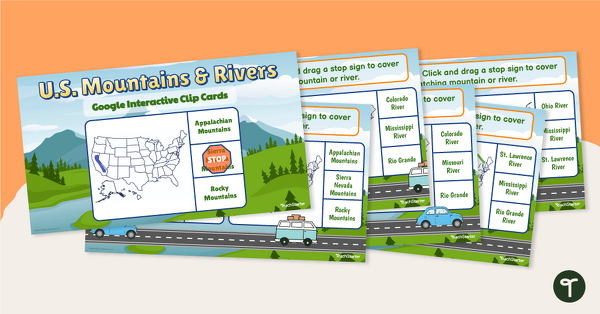
U.S. Mountain and River Interactive Clip Cards
Identify the major rivers and mountains in the United States with a set of Google Slides interactive clip cards.
- Plus Plan
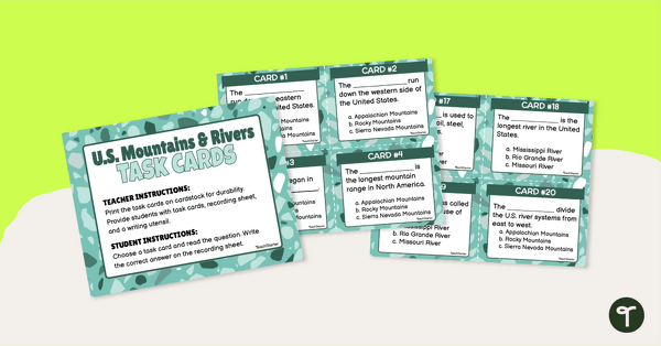
U.S. Mountains and Rivers - Task Cards
Identify the major mountain ranges and rivers in the United States with a set of descriptive task cards.
- Plus Plan
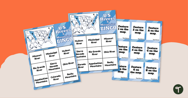
U.S. Rivers and Mountains Bingo Game
Practice identifying the major rivers and mountains in the United States with a Bingo Game.
- Plus Plan
U.S. Mountains and Rivers Worksheets
Locate rivers and mountains on a U.S. physical map with two labeling worksheets.
- Plus Plan
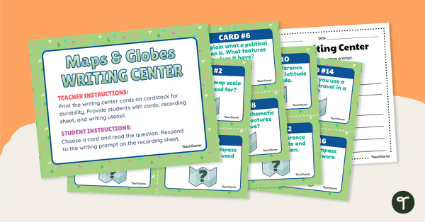
Maps and Globes Writing Center
Blend your Geography and Writing instruction with Maps and Globe Writing prompts for third grade and up.
- Plus Plan
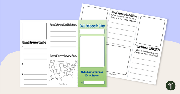
U.S. Landforms Brochure
Research and present knowledge of famous landforms in the United States with a brochure project.
- Free Plan
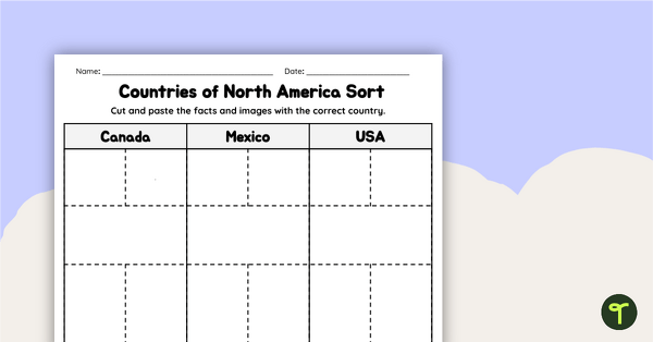
Countries of North America Sort
Practice identifying North American countries' locations, flags, and symbols with a quick and easy sorting worksheet.
- Plus Plan
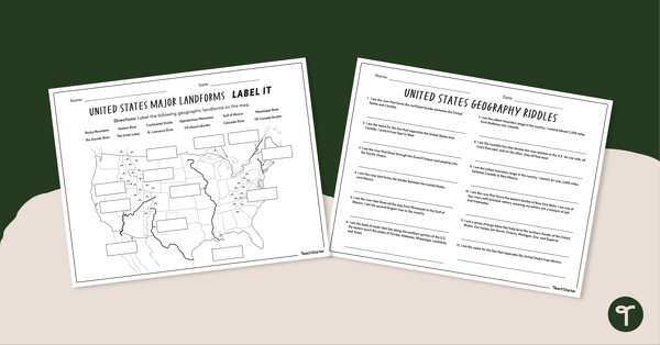
Major U.S. Land Features Worksheets
Discover and identify the major rivers, mountains, and landforms in the United States with an easy-to-use set of worksheets.
- Plus Plan
Major U.S. Landforms Google Interactive
Practice identification of the major rivers, mountains, and land features in the United States with a Google Interactive activity.
- Plus Plan
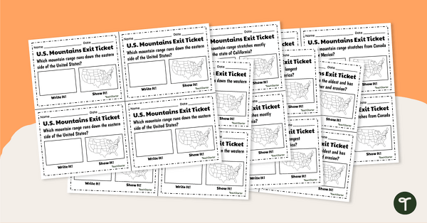
U.S. Mountain and River Exit Tickets
Assess your students’ knowledge of the major rivers and mountains in the United States with a set of exit tickets.
- Plus Plan
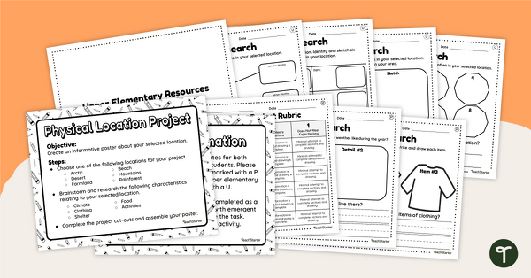
Differentiated Geographic Location Project-Primary and Upper Elementary
Uncover how geographic location affects the culture, customs, clothing, food, and overall lifestyle of humans with a differentiated research project.
- Plus Plan
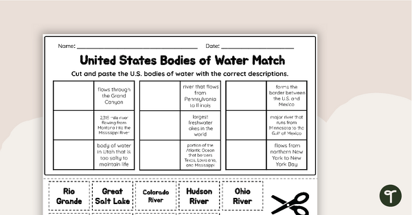
U.S. Geographic Features - Bodies of Water Worksheet
With this worksheet, students will understand reflexive pronouns and how they are used in sentences.
- Plus Plan
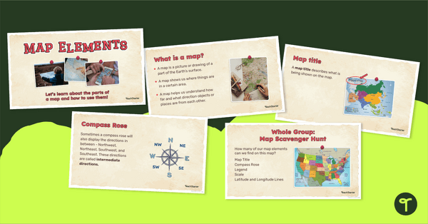
Me on the Map - Map Elements Presentation
Teach the components of a map with a map elements teaching presentation.
- Plus Plan
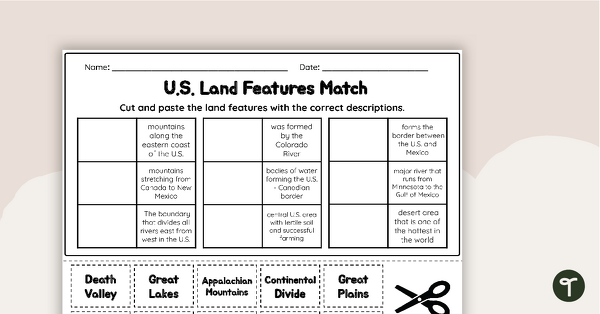
U.S. Land Features Matching Worksheet
Apply knowledge of the major U.S. rivers, mountains, and land features with a matching worksheet.
- Plus Plan
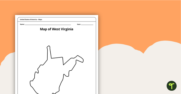
Blank Map of West Virginia Template
A blank map of West Virginia to use during Geography lessons.
- Plus Plan
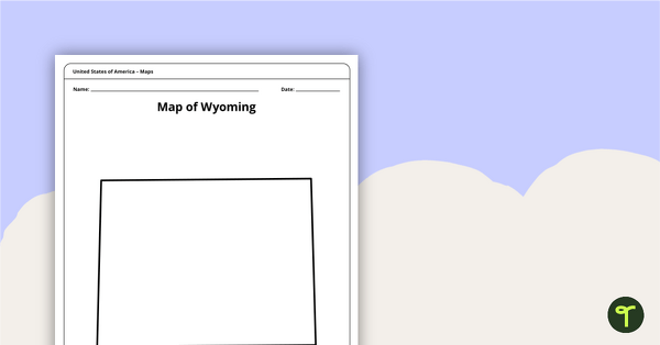
Blank Map of Wyoming Template
Download a blank Wyoming map for your lesson plans, student research projects and more!
- Plus Plan
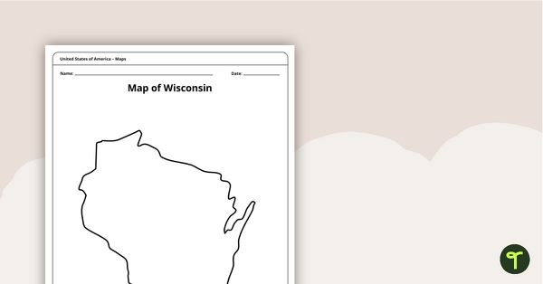
Map of Wisconsin Template
A blank map of Wisconsin to use during Geography lessons.
- Plus Plan
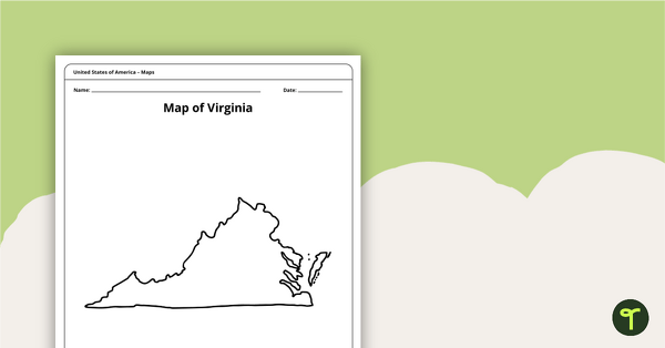
Blank Map of Virginia Template
A blank map of Virginia to use during Geography lessons.
- Plus Plan
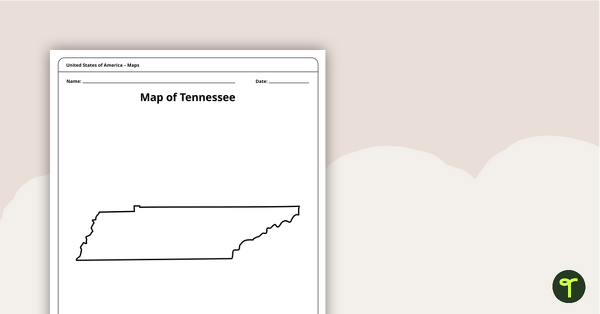
Map of Tennessee Template
A blank map of Tennessee to use during Geography lessons.
- Plus Plan
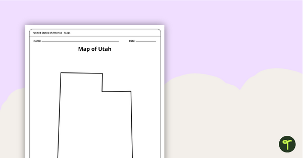
Map of Utah Template
A blank map of Utah to use during Geography lessons.
- Plus Plan
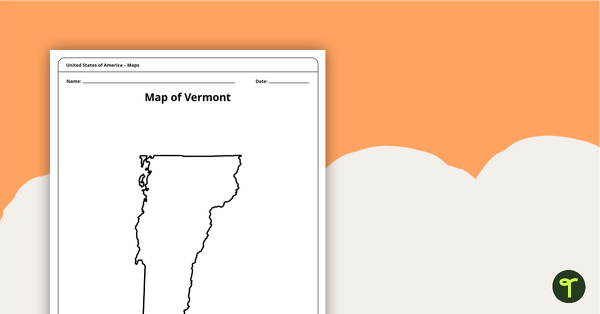
Map of Vermont Template
A blank map of Vermont to use during Geography lessons.
- Plus Plan
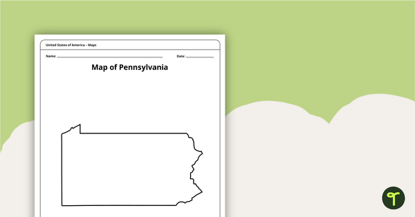
Map of Pennsylvania Template
A blank map of Pennsylvania to use during Geography lessons.