Maps Teaching Resources
- Plus Plan
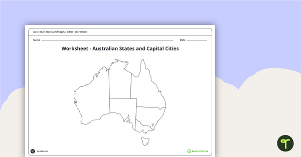
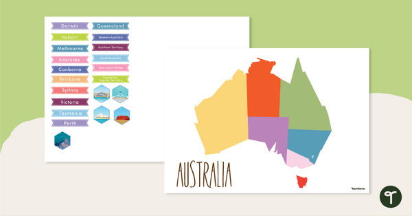
Australian States and Capital Cities Map Worksheet
A worksheet for students to use when learning about Australian states, territories and capital cities.
- Free Plan
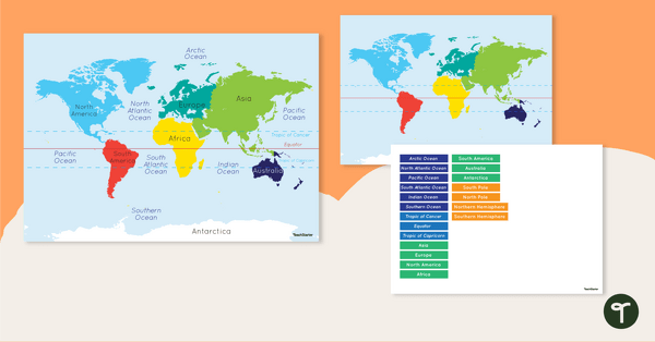
Map of the World - Labelling Activity
Discover and label the world's continents and oceans with this blank map of the world.
- Plus Plan
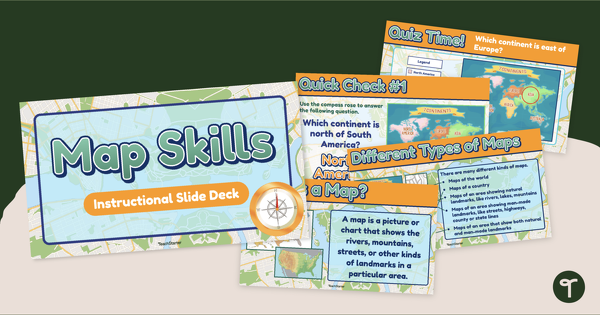
Map Skills Teaching Presentation
Teach basic map skills to younger students with this visually appealing and age-appropriate teaching presentation.
- Free Plan
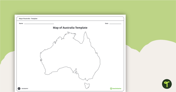
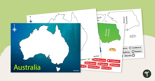
Blank Map of Australia - Template
Record and represent data about the location of significant places with this printable blank map of the continent of Australia.
- Free Plan
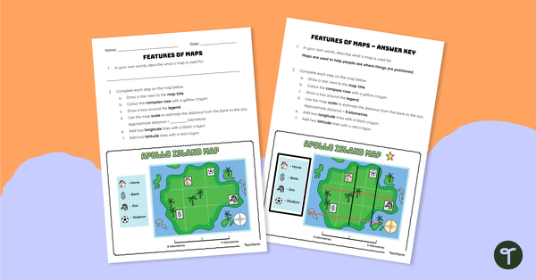
Features of Maps - Worksheet
Apply knowledge of the components of a map to this map elements worksheet.
- Plus Plan
Map of Australia - Labelling Activity
Discover and label Australia's states, capital cities and key landmarks on this blank map.
- Plus Plan
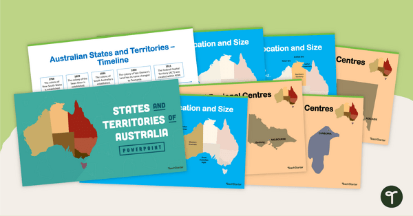
States and Territories of Australia PowerPoint
Explore Australia's six states and two territories with this 27-slide editable teaching presentation.
- Plus Plan
Australia-Centred World Map
Teach your students about the continents, oceans and countries of the world with this Australia-centred world map.
- Free Plan
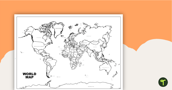
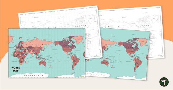
World Map with Countries - Black and White
Teach your students about the continents and countries of the world with this black-and-white world map.
- Free Plan
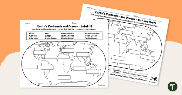
Labelling the Continents and Oceans Worksheets
Turn Geography into a fun and educational learning experience with our cut-and-paste worksheets!
- Plus Plan
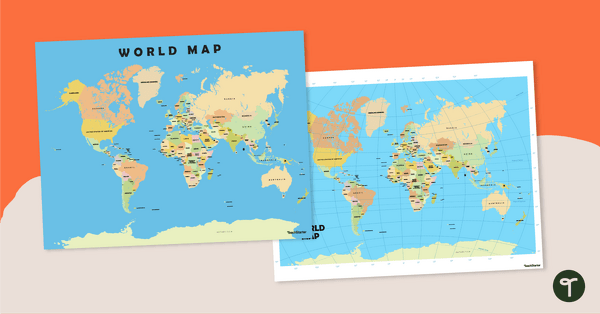
World Map Poster
Teach your students about the continents and countries of the world with this detailed map.
- Plus Plan
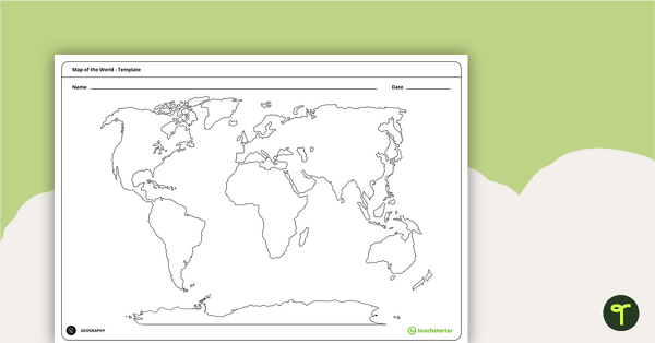
Blank Map of the World - Template
Teach your students about the world’s seven continents and five oceans with this blank map of the world for labelling.
- Plus Plan
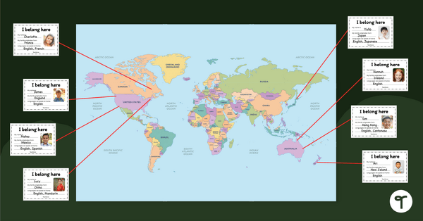
Our Belonging Map Classroom Display
Investigate your students’ heritage with this belonging map to display in the classroom.
- Plus Plan
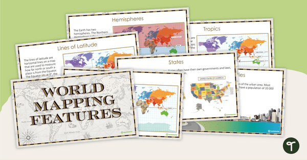
World Mapping Features – Teaching Presentation
Explore the key map features of world maps with this 18-slide PowerPoint presentation.
- Plus Plan
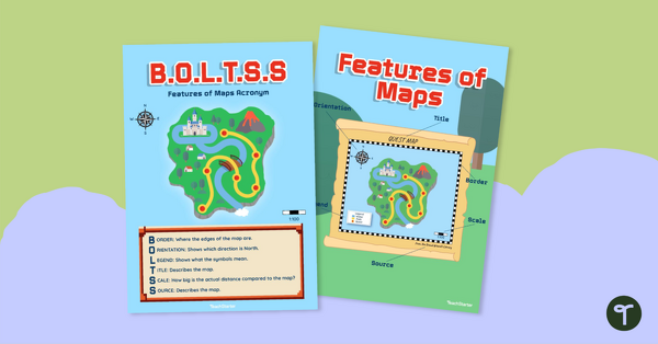
B.O.L.T.S.S Features of Maps Posters for the Classroom
Teach the BOLTSS mnemonic and explore the features of maps using this set of colourful classroom posters.
- Free Plan
Australian Map Puzzle
Help your students build understanding of the map of Australia with this interactive game.
- Plus Plan
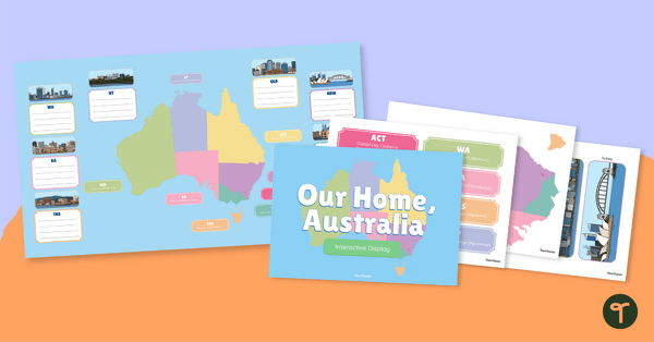
Australian States, Territories and Capital Cities - Class Display
Brighten up your classroom bulletin boards with a vibrant and informative classroom display about Australia’s states and territories.
- Plus Plan
Australian Landform Map
A map of Australia showing the major landforms.
- Free Plan
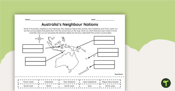
Countries Neighbouring Australia - Cut and Paste Worksheet
Discover the location of some of the countries neighbouring Australia with this simple cut-and-paste worksheet.
- Plus Plan
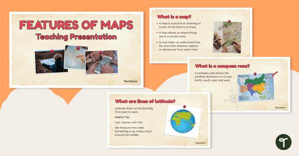
Features of Maps - Teaching Presentation
Explore the most common features of maps with this engaging teaching presentation.
- Plus Plan
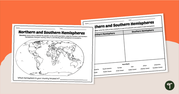
Earth's Hemispheres Worksheets
Practise identifying landforms in the northern and southern hemispheres with a pair of printable geography worksheets.
- Plus Plan
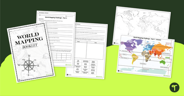
World Mapping Workbook
Develop mapping skills by plotting key features and locations onto a map of the world.
- Free Plan
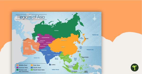
Map of the Regions of Asia
A map showing the layout, regions and major countries of Asia.
- Plus Plan
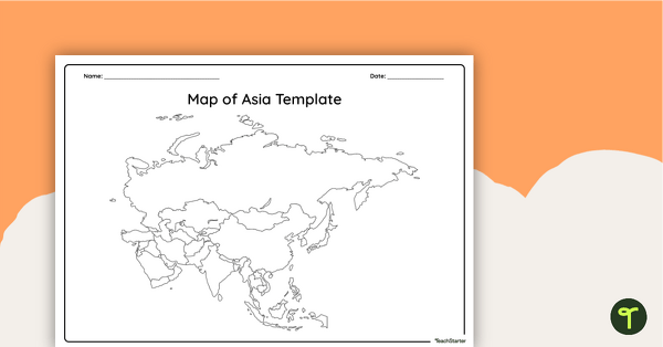
Blank Map of Asia - Template
Record and represent data about the location of significant places with this printable blank map of the continent of Asia.
- Plus Plan
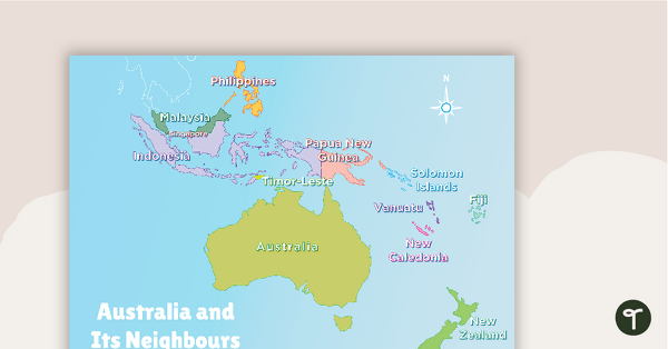
Australia and Its Neighbours - Poster and Labelling Activity
A set of maps and worksheet for students to use when looking at Australia and its neighbours.
- Free Plan
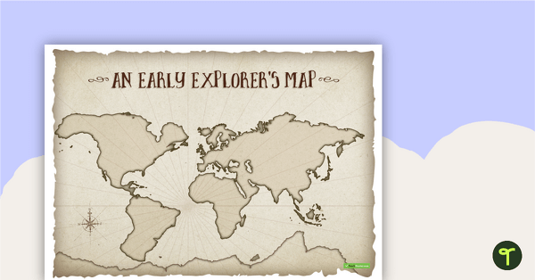
An Early Explorer's Map
An early explorer's map to display in the classroom when learning about European exploration.
- Plus Plan
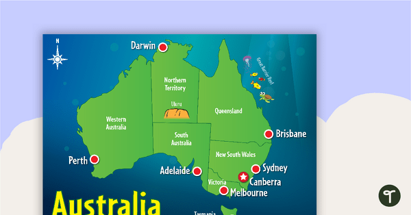
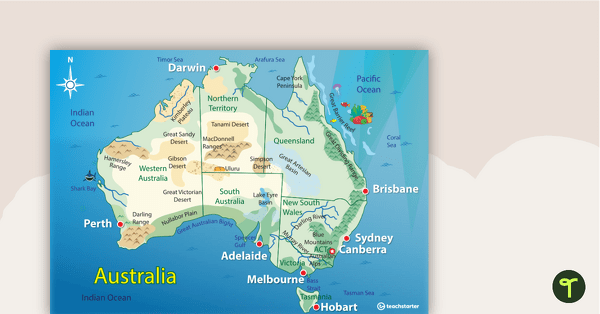
Cartoon Map of Australia
Explore the continent of Australia with a map showing each capital city and some of the most famous landmarks.
- Plus Plan
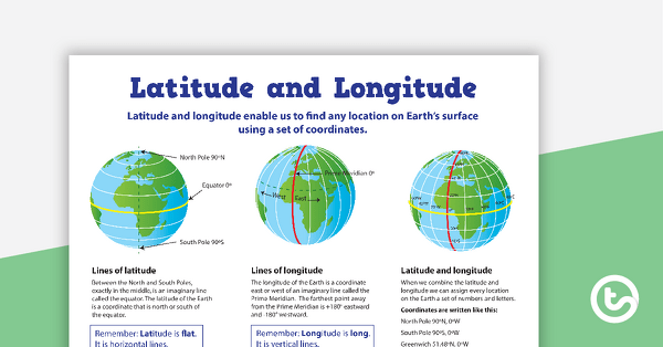
Latitude and Longitude Poster
Use this educational poster when students are learning about geographical coordinates, latitude and longitude.
- Free Plan
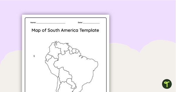
Blank Map of South America - Template
Record and represent data about the location of significant places with this printable blank map of the continent of South America.
- Free Plan
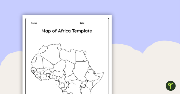
Blank Map of Africa Template
Record and represent data about the location of significant places with this printable blank map of the continent of Africa.
- Plus Plan
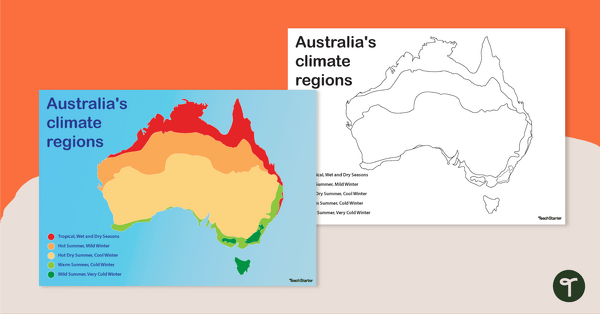
Australian Climate Regions Poster and Worksheet
A poster and a worksheet outlining the climate regions in Australia.
- Plus Plan
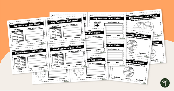
Features of Maps - Exit Tickets
Assess student map and globe skills with twenty exit ticket worksheets.