Geography
Identify and describe the characteristics of places in different locations at a range of scales
- Free Plan
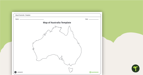
Blank Map of Australia - Template
Record and represent data about the location of significant places with this printable blank map of the continent of Australia.
- Free Plan
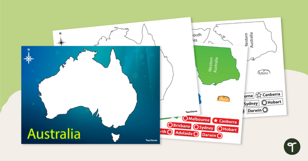
Australian Map Puzzle
Help your students build understanding of the map of Australia with this interactive game.
- Plus Plan
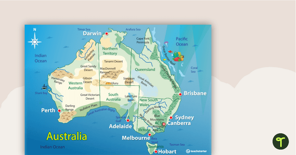
Australian Landform Map
A map of Australia showing the major landforms.
- Plus Plan
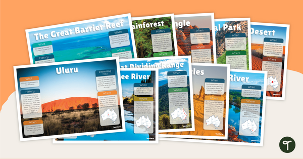
Natural Landmarks of Australia - Poster Pack
10 beautifully designed posters about some of Australia's most famous natural landscapes.
- Free Plan
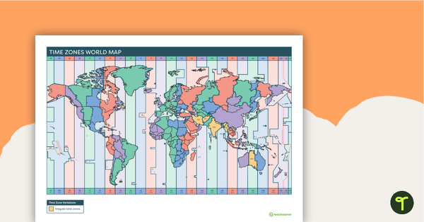
Time Zones World Map
A poster to display in the classroom to show the different time zones of the world.
- Plus Plan
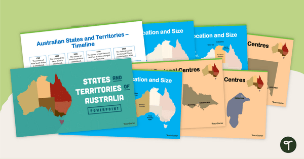
States and Territories of Australia PowerPoint
Explore Australia's six states and two territories with this 27-slide editable teaching presentation.
- Free Plan
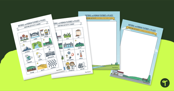
Natural vs. Man-Made Features - Sorting Activity
A sorting activity to help students identify the natural and human features of environments.
- Plus Plan
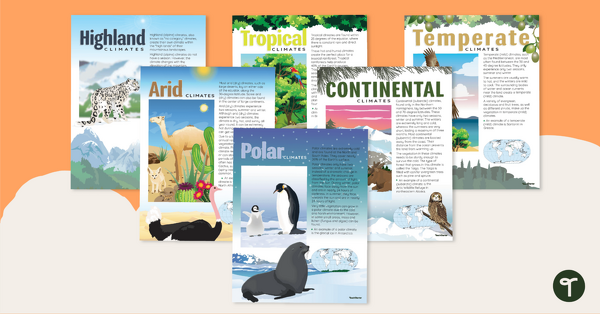
Climate Zones of the World – Poster Pack
Learn about different climate types with this set of 6 printable posters.
- Free Plan
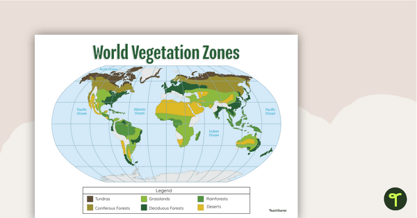
Map of the World's Vegetation Zones
Locate and explore the different biomes of the world with this engaging classroom poster.
- Free Plan
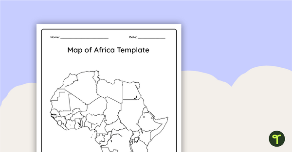
Blank Map of Africa Template
Record and represent data about the location of significant places with this printable blank map of the continent of Africa.
- Plus Plan
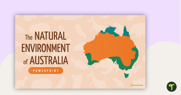
The Natural Environment of Australia PowerPoint
A 23 slide editable PowerPoint template to use when introducing students to the climate, vegetation and animals of Australia.
- Plus Plan
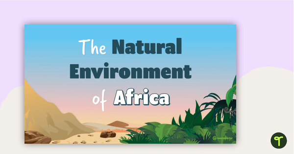
The Natural Environment of Africa PowerPoint
A 17 slide editable PowerPoint template to use when introducing students to the climate, vegetation and animals of Africa.
- Plus Plan
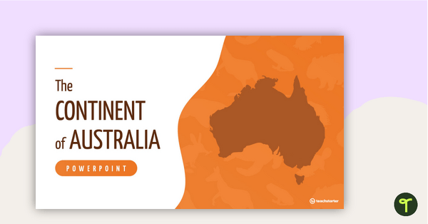
The Continent of Australia PowerPoint
A 20 slide editable PowerPoint template to use when introducing students to the geographical features of Australia.
- Free Plan
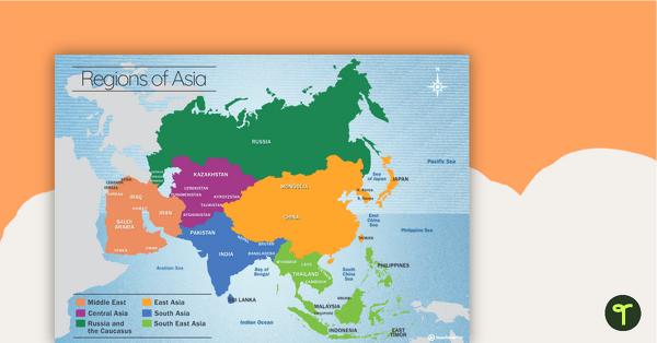
Map of the Regions of Asia
A map showing the layout, regions and major countries of Asia.
- Plus Plan
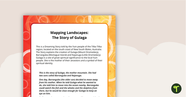
The Story of Gulaga - Comprehension and Activity Worksheet
A comprehension and linked activity based on an Aboriginal Dreaming Story.
- Plus Plan
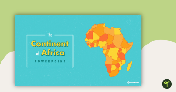
The Continent of Africa PowerPoint
A 20 slide editable PowerPoint template to use when introducing students to the geographical features of Africa.
- Plus Plan
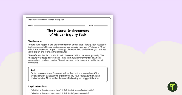
The Natural Environment of Africa - Inquiry Task
An inquiry task focusing on the natural environment of the grasslands of Africa.
- Free Plan
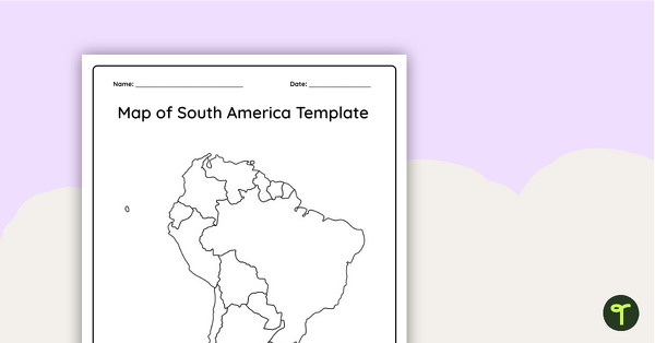
Blank Map of South America - Template
Record and represent data about the location of significant places with this printable blank map of the continent of South America.
- Plus Plan
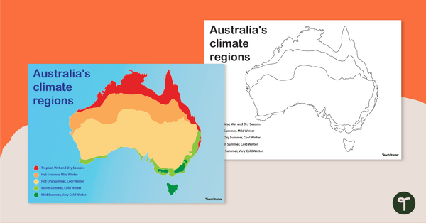
Australian Climate Regions Poster and Worksheet
A poster and a worksheet outlining the climate regions in Australia.
- Plus Plan
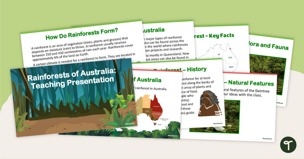
Rainforests of Australia - Teaching Presentation
Explore Australia's rainforests with this 14-slide editable teaching presentation.
- Plus Plan
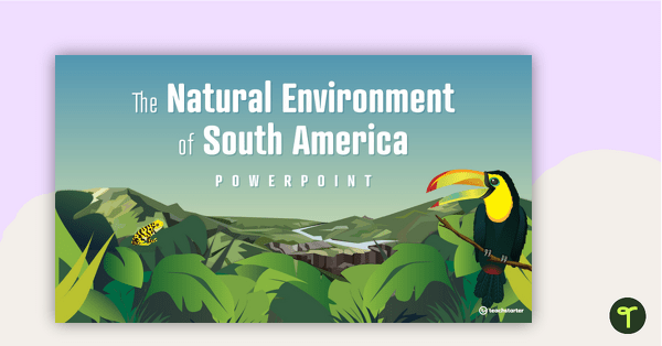
The Natural Environment of South America PowerPoint
A 17 slide editable PowerPoint template to use when introducing students to the climate, vegetation and animals of South America.
- Plus Plan
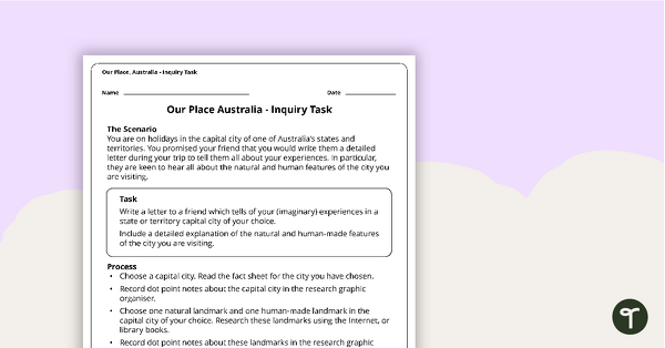
Our Place, Australia - Inquiry Task
An inquiry task focusing on the natural and human features of Australia.
- Plus Plan
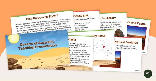
Deserts of Australia - Teaching Presentation
Explore Australia's deserts with this 14-slide editable teaching presentation.
- Plus Plan
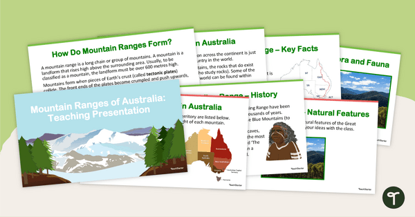
Mountain Ranges of Australia - Teaching Presentation
Explore Australia's mountain ranges with this 14-slide editable teaching presentation.
- Plus Plan
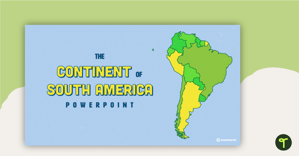
The Continent of South America PowerPoint
A 20 slide editable PowerPoint template to use when introducing students to the geographical features of South America.
- Plus Plan
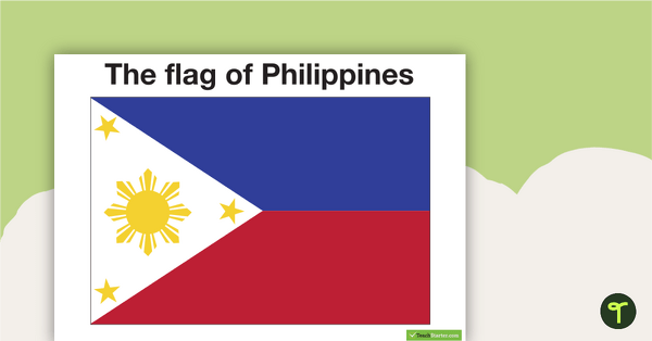
Neighbours of Australia Flags
Twelve flags from countries surrounding Australia.
- Plus Plan
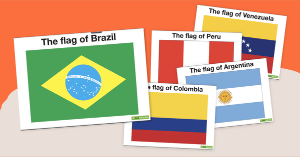
South American Flags
Decorate your travel-themed classroom with a set of fourteen flags from South America.
- Plus Plan
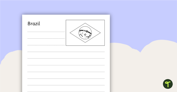
South American Flags Worksheets - BW
Fourteen black and white worksheets with flags from South America.
- Plus Plan
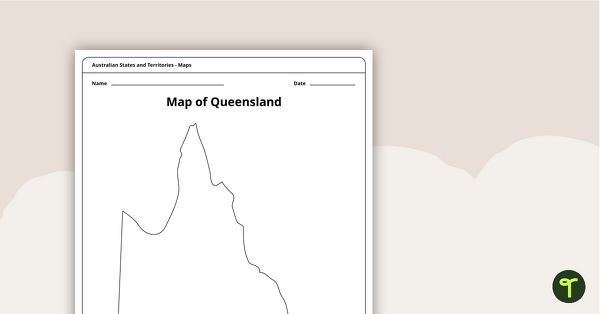
Blank Map of Queensland - Template
Record and represent data about the location of significant places with this printable blank map of the Australian state of Queensland.
- Plus Plan
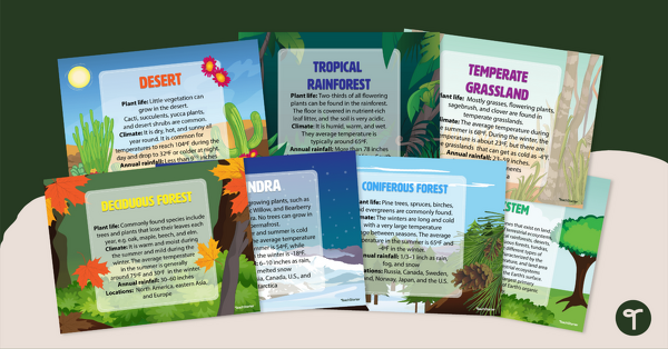
Ecosystem Poster Pack
Introduce your students to the different types of ecosystems with a set of printable Ecosystem posters.
- Plus Plan
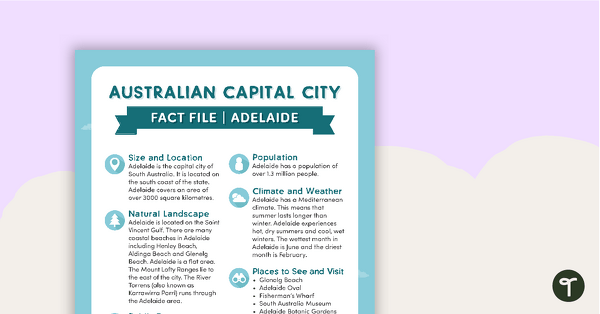
Natural and Human Features of Australia - Capital City Fact Files (Complete Set)
8 beautifully designed and illustrated fact files explaining the natural and human features of Australia's capital cities.
- Plus Plan
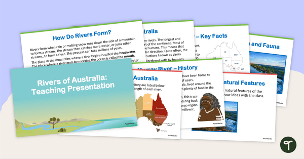
Rivers of Australia - Teaching Presentation
Explore Australia's complex system of rivers with this 14-slide editable teaching presentation.