Year 3
Diverse communities and places and the contribution people make
The Year 3 curriculum focuses on the diversity of people and places in their local community and beyond, and how people participate in their communities. Students study how places are represented geographically and how communities express themselves culturally and through civic participation. Opportunities are provided to learn about diversity within their community, including the Country/Place of Aboriginal and Torres Strait Islander Peoples, and about other communities in Australia and neighbouring countries. Students compare the climates, settlement patterns and population characteristics of places, and how these affect communities, past and present. Students examine how individuals and groups celebrate and contribute to communities in the past and present, through establishing and following rules, decision-making, participation and commemoration.
The content provides opportunities for students to develop humanities and social sciences understanding through key concepts including significance; continuity and change; cause and effect; place and space; interconnections; roles, rights and responsibilities; and perspectives and action. These concepts may provide a focus for inquiries and be investigated across sub-strands or within a particular sub-strand context.
The content at this year level is organised into two strands: knowledge and understanding, and inquiry and skills. The knowledge and understanding strand draws from three sub-strands: history, geography and civics and citizenship. These strands (knowledge and understanding, and inquiry and skills) are interrelated and have been developed to be taught in an integrated way, which may include integrating with content from the sub-strands and from other learning areas, and in ways that are appropriate to specific local contexts. The order and detail in which they are taught are programming decisions.
Inquiry Questions
A framework for developing students' knowledge, understanding and skills is provided by inquiry questions. The following inquiry questions allow for connections to be made across the sub-strands and may be used or adapted to suit local contexts: inquiry questions are also provided for each sub-strand that may enable connections within the humanities and social sciences learning area or across other learning areas.
- How do symbols, events, individuals and places in my community make it unique?
- How do people contribute to their communities, past and present?
- What events do different people and groups celebrate and commemorate and what does this tell us about our communities?
(source: www.australiancurriculum.edu.au)
Achievement Standard
By the end of Year 3, students identify individuals, events and aspects of the past that have significance in the present. They identify and describe aspects of their community that have changed and remained the same over time. They describe the diverse characteristics of different places at the local scale and identify and describe similarities and differences between the characteristics of these places. They identify connections between people and the characteristics of places. Students explain the role of rules in their community and the importance of making decisions democratically. They identify the importance of different celebrations and commemorations for different groups. They explain how and why people participate in and contribute to their communities.
Students pose questions and locate and collect information from sources, including observations, to answer these questions. They examine information to identify a point of view and interpret data to identify and describe simple distributions. They draw simple conclusions and share their views on an issue. They sequence information about events and the lives of individuals in chronological order. They record and represent data in different formats, including labelled maps using basic cartographic conventions. They reflect on their learning to suggest individual action in response to an issue or challenge. Students communicate their ideas, findings and conclusions in oral, visual and written forms using simple discipline-specific terms.
(source: www.australiancurriculum.edu.au)
Achievement Standard
By the end of Year 3, students identify individuals, events and aspects of the past that have significance in the present. They identify and describe aspects of their community that have changed and remained the same over time. They identify the importance of different celebrations and commemorations for different groups.
Students sequence information about events and the lives of individuals in chronological order. They pose questions about the past and locate and collect information from sources (written, physical, visual, oral) to answer these questions. They analyse information to identify a point of view. Students develop texts, including narrative accounts, using terms denoting time.
(source: www.australiancurriculum.edu.au)
Achievement Standard
By the end of Year 3, students describe the location of the states and territories of Australia, the location of selected Aboriginal and Torres Strait Islander Countries/Places and selected countries neighbouring Australia. They describe the characteristics of different places at local scales and identify and describe similarities and differences between the characteristics of these places. They identify connections between people and the characteristics of places and recognise that people have different perceptions of places.
Students pose geographical questions and locate and collect information from different sources to answer these questions. They record and represent data in tables and simple graphs and the location of places and their characteristics on labelled maps that use the cartographic conventions of legend, title and north point. They describe the location of places and their features using simple grid references and cardinal compass points. Students interpret geographical data to identify and describe distributions and draw conclusions. They present findings using simple geographical terminology in a range of texts. They reflect on their learning to suggest individual action in response to a geographical challenge.
(source: www.australiancurriculum.edu.au)
Achievement Standard
By the end of Year 3, students explain the role of rules in their community and the importance of making decisions democratically. They describe how people participate in their community as active citizens.
Students pose simple questions about the society in which they live. They collect information from sources to answer these questions. They examine information to identify a point of view and draw simple conclusions. Students share their views on an issue and describe how they participate in a group. They present their ideas and conclusions in oral, visual and written forms using civics and citizenship terms.
(source: www.australiancurriculum.edu.au)
- Plus Plan
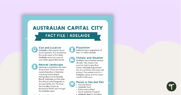
Natural and Human Features of Australia - Adelaide Fact File
A beautifully designed and illustrated fact file explaining the natural and human features of Adelaide.
- Plus Plan

Natural and Human Features of Australia - Capital City Fact Files (Complete Set)
8 beautifully designed and illustrated fact files explaining the natural and human features of Australia's capital cities.
- Plus Plan
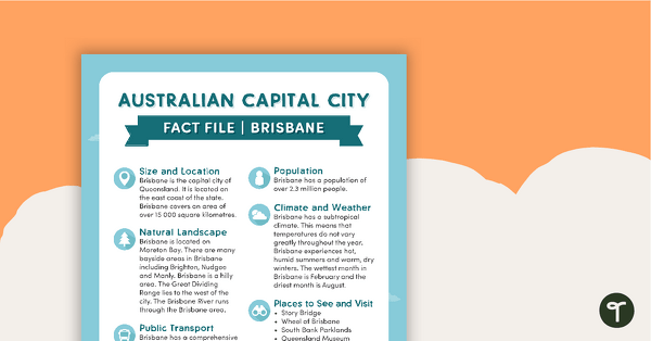
Natural and Human Features of Australia - Brisbane Fact File
A beautifully designed and illustrated fact file explaining the natural and human features of Brisbane.
- Plus Plan
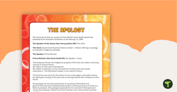
The Apology Transcript and Activities
An excerpt from Kevin Rudd's Apology to the Stolen Generations with matching activity task cards.
- Plus Plan
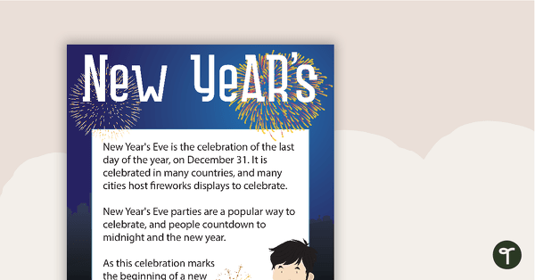
New Year's Poster - Information
A poster with information about New Year's.
- Plus Plan
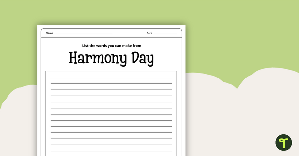
Harmony Day Word Jumble Worksheet
A worksheet to use as a Harmony Day resource for all grades.
- Plus Plan
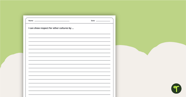
Identifying Respect Worksheet
A worksheet to use for all grades.
- Plus Plan
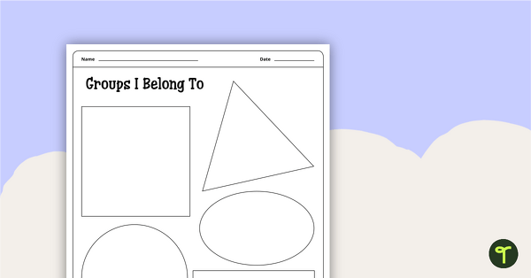
Groups I Belong To Worksheet
A worksheet to use as a Harmony Day resource for all grades.
- Plus Plan
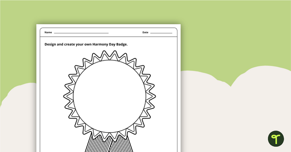
Harmony Day Badge Worksheet
A worksheet to use as a Harmony Day resource for all grades.
- Plus Plan
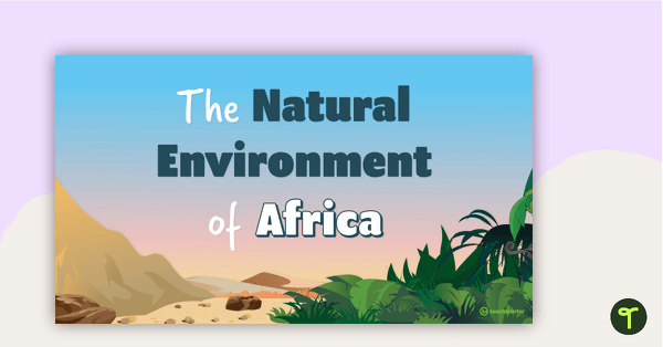
The Natural Environment of Africa PowerPoint
A 17 slide editable PowerPoint template to use when introducing students to the climate, vegetation and animals of Africa.
- Plus Plan
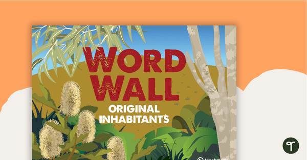
Original Inhabitants of Australia Word Wall
A vocabulary word wall to display and use in the classroom when learning about the original inhabitants of Australia.
- Plus Plan
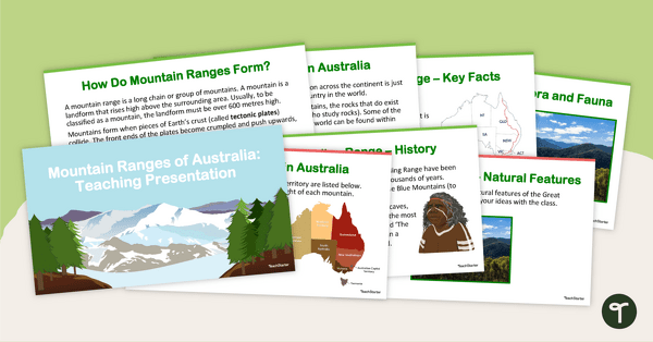
Mountain Ranges of Australia - Teaching Presentation
Explore Australia's mountain ranges with this 14-slide editable teaching presentation.
- Plus Plan
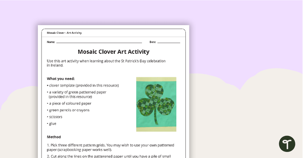
Mosaic Clover Art Activity
A creative art activity to use when learning about the Saint Patrick's Day celebration.
- Plus Plan
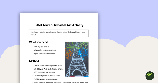
Eiffel Tower Oil Pastel Art Activity
A creative art activity to use when learning about the Bastille Day celebration.
- Plus Plan
Celebrations Around The World - Fact Sheet Pack
A pack of 6 fact sheets detailing different celebrations around the world.
- Free Plan
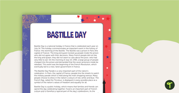
Bastille Day Fact Sheet
A fact sheet covering important facts and traditions of Bastille Day in France.
- Free Plan
Independence Day Fact Sheet
A fact sheet covering important facts and traditions of Independence Day in the United States of America.
- Plus Plan
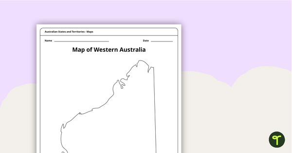
Blank Map of Western Australia - Template
Record and represent data about the location of significant places with this printable blank map of the Australian state of Western Australia.
- Plus Plan
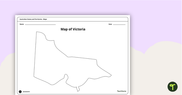
Blank Map of Victoria - Template
Record and represent data about the location of significant places with this printable blank map of the Australian state of Victoria.
- Plus Plan
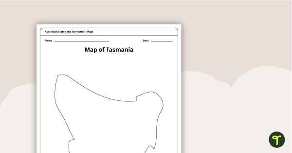
Blank Map of Tasmania Template
Record and represent data about the location of significant places with this printable blank map of the Australian state of Tasmania.
- Plus Plan
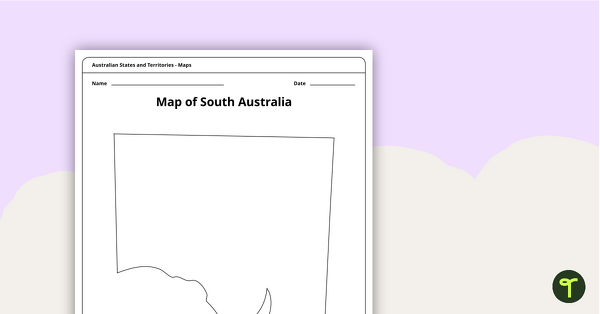
Blank Map of South Australia - Template
Record and represent data about the location of significant places with this printable blank map of the Australian state of South Australia.
- Plus Plan
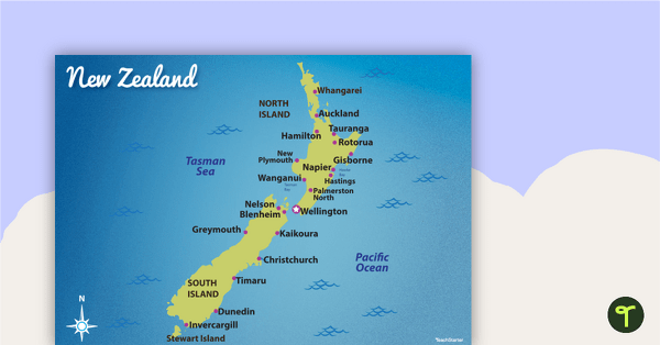
Map of New Zealand
Familiarise your students with Australia’s neighbouring countries with this detailed map of New Zealand.
- Plus Plan
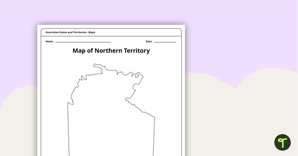
Map of the Northern Territory Template
Record and represent data about the location of significant places with this printable blank map of the Northern Territory.
- Plus Plan
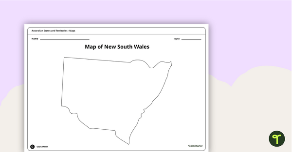
Blank Map of New South Wales - Template
Record and represent data about the location of significant places with this printable blank map of the Australian state of New South Wales.
- Plus Plan
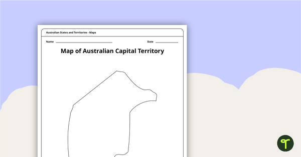
Black Map of the Australian Capital Territory - Template
Record and represent data about the location of significant places with this printable blank map of the Australian Capital Territory.
- Free Plan
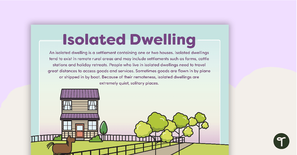
Types of Settlements Posters
5 beautifully illustrated posters explaining the various types of settlements.
- Plus Plan
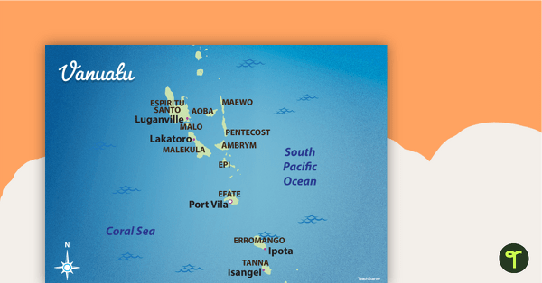
Map of Vanuatu
Familiarise your students with Australia’s neighbouring countries with this detailed map of Vanuatu.
- Plus Plan
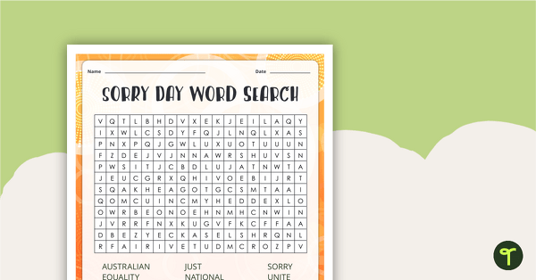
National Sorry Day – Word Search
A word search to promote thoughtful discussion around issues of reconciliation on National Sorry Day.
- Plus Plan
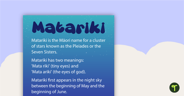
Matariki Poster
A poster to display in your classroom during Matariki (Māori New Year).
- Plus Plan
Matariki Word Wall Vocabulary
A set of 18 Matariki related vocabulary cards for a word wall.
- Plus Plan
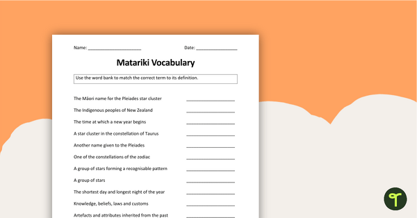
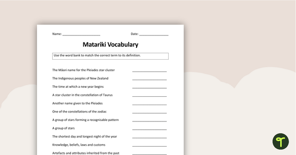
Matariki Worksheets
A collection of 6 worksheets to use with your class when exploring Matariki (Māori New Year).
- Plus Plan
Neighbours of Australia Flags
Twelve flags from countries surrounding Australia.