Maps Teaching Resources
- Plus Plan
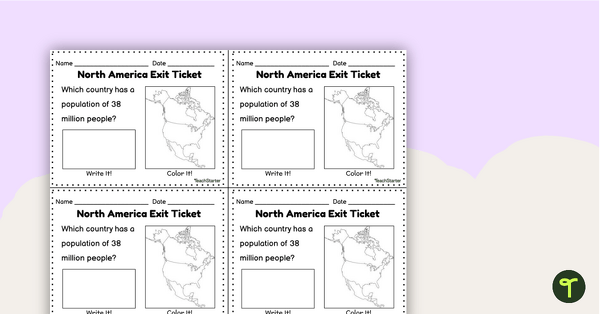
Countries of North America Exit Tickets
Assess student knowledge of the features and countries in North America with quick and easy exit tickets.
- Plus Plan
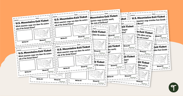
U.S. Mountain and River Exit Tickets
Assess your students’ knowledge of the major rivers and mountains in the United States with a set of exit tickets.
- Plus Plan
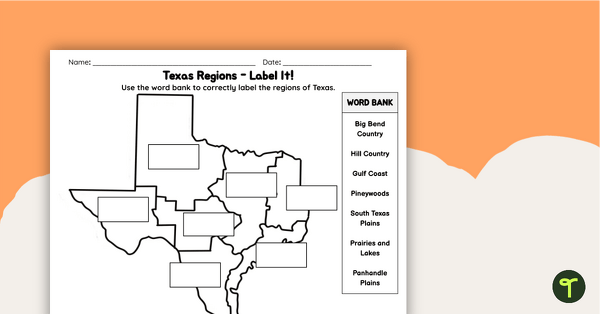
Labeling Texas Regions Worksheet
Supplement your Texas Social Studies curriculum with a region of Texas map labeling worksheet.
- Free Plan

Free U.S. Mountains, Rivers, and Land Features Worksheet
Apply knowledge of the major U.S. land features, mountains, and rivers with a map labeling worksheet.
- Plus Plan
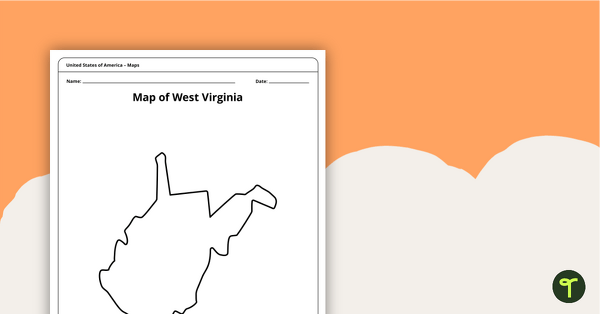
Blank Map of West Virginia Template
A blank map of West Virginia to use during Geography lessons.
- Plus Plan
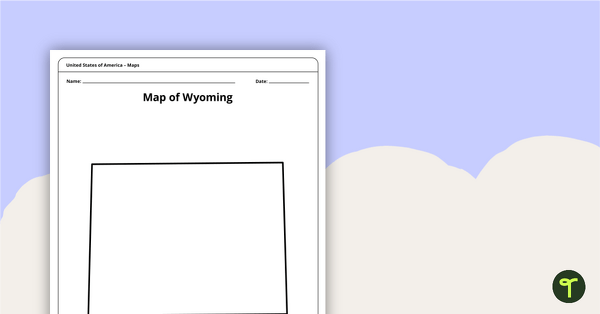
Blank Map of Wyoming Template
Download a blank Wyoming map for your lesson plans, student research projects and more!
- Plus Plan
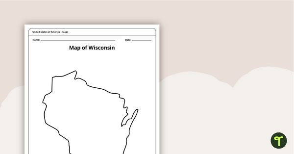
Map of Wisconsin Template
A blank map of Wisconsin to use during Geography lessons.
- Plus Plan
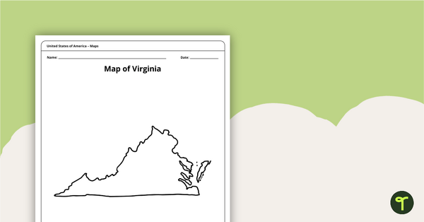
Blank Map of Virginia Template
A blank map of Virginia to use during Geography lessons.
- Plus Plan
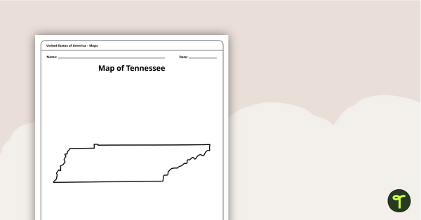
Map of Tennessee Template
A blank map of Tennessee to use during Geography lessons.
- Plus Plan
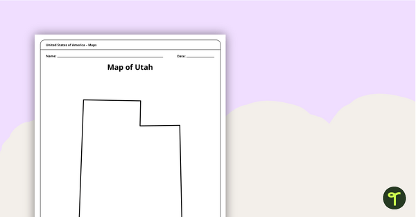
Map of Utah Template
A blank map of Utah to use during Geography lessons.
- Plus Plan
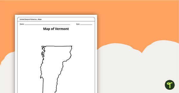
Map of Vermont Template
A blank map of Vermont to use during Geography lessons.
- Plus Plan
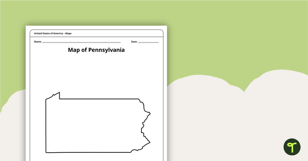
Map of Pennsylvania Template
A blank map of Pennsylvania to use during Geography lessons.
- Plus Plan
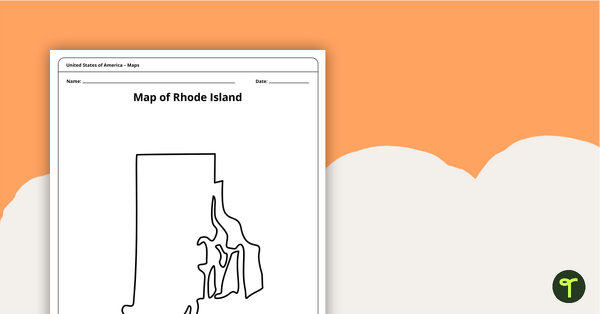
Map of Rhode Island Template
Download a printable blank map of Rhode Island to use during geography and Ocean State history lessons.
- Plus Plan
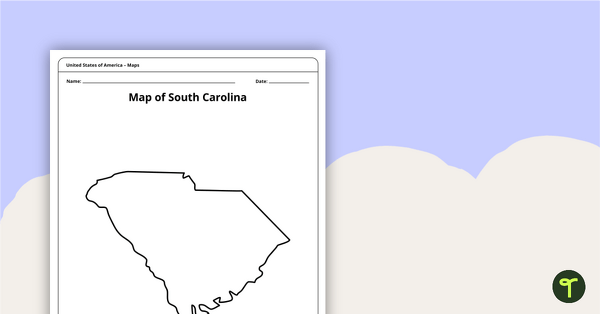
Blank Map of South Carolina Template
Use this printable blank map of South Carolina to during geography and Palmetto State history lessons.
- Plus Plan
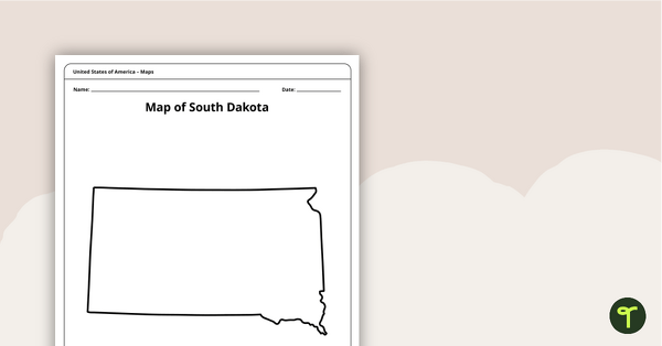
Blank Map of South Dakota Template
A blank map of South Dakota to use during Geography lessons.
- Plus Plan
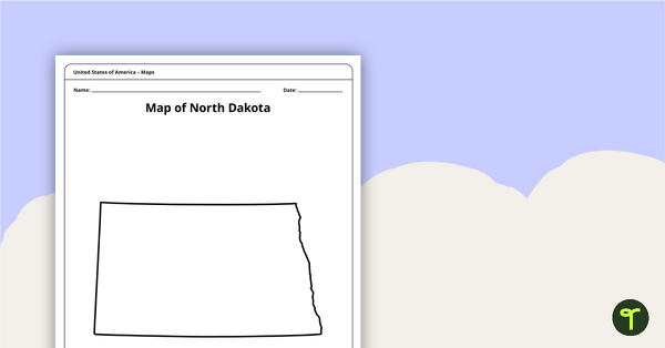
Map of North Dakota Template
A blank map of North Dakota to use during Geography lessons.
- Plus Plan
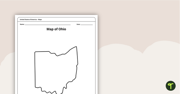
Map of Ohio Template
A blank map of Ohio to use during Geography lessons.
- Plus Plan
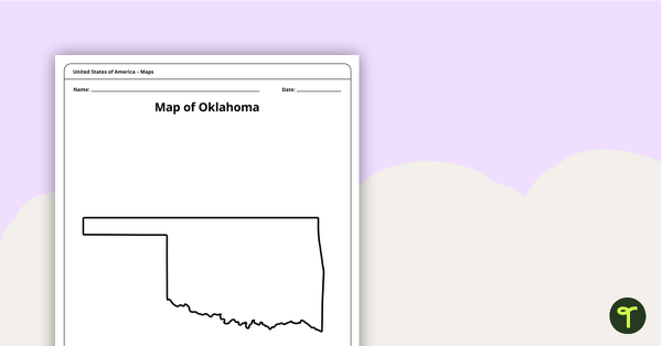
Blank Map of Oklahoma Template
A blank map of Oklahoma to use during Geography lessons.
- Plus Plan
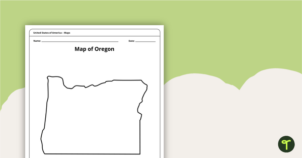
Map of Oregon Template
A blank map of Oregon to use during Geography lessons.
- Plus Plan
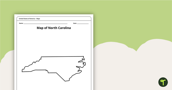
Map of North Carolina Template
A blank map of North Carolina to use during Geography lessons.
- Plus Plan

Blank Printable Map of New York
A blank printable map of New York State to use during Geography lessons.
- Plus Plan
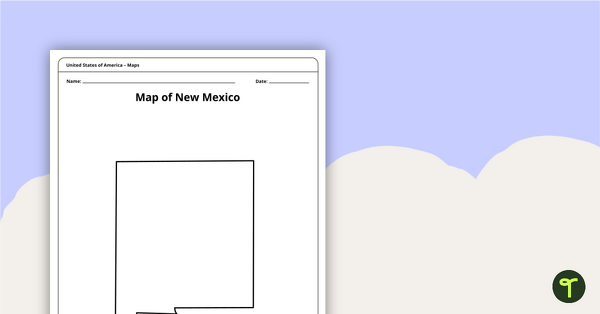
Map of New Mexico Template
A blank map of New Mexico to use during Geography lessons.
- Plus Plan
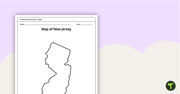
Map of New Jersey Template
A blank map of New Jersey to use during Geography lessons.
- Plus Plan
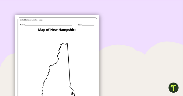
Map of New Hampshire Template
A blank map of New Hampshire to use during Geography lessons.
- Plus Plan
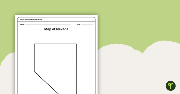
Map of Nevada Template
A blank map of Nevada to use during Geography lessons.
- Plus Plan
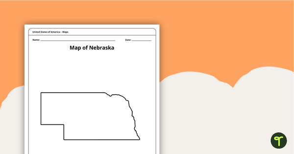
Map of Nebraska Template
A blank map of Nebraska to use during Geography lessons.
- Plus Plan
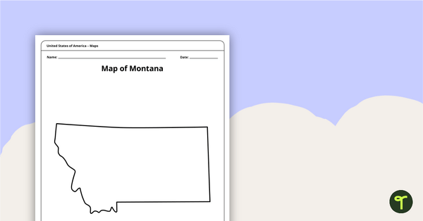
Blank Map of Montana Template
A blank map of Montana to use during Geography lessons.
- Plus Plan
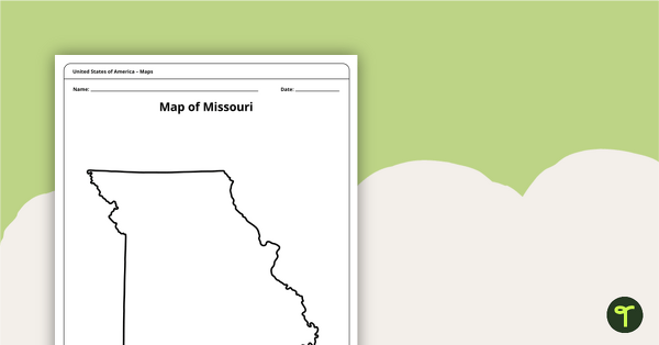
Map of Missouri Template
A blank map of Missouri to use during Geography lessons.
- Plus Plan
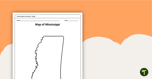
Map of Mississippi Template
A blank map of Mississippi to use during Geography lessons.
- Plus Plan
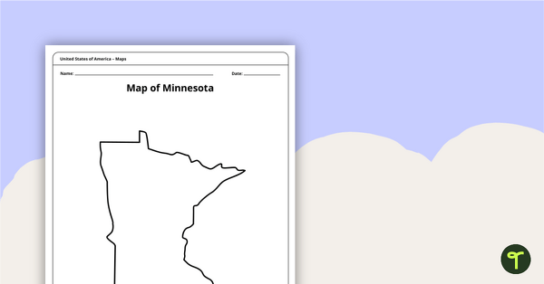
Map of Minnesota Template
A blank map of Minnesota to use during Geography lessons.
- Plus Plan
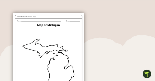
Map of Michigan Template
A blank map of Michigan to use during Geography lessons.
- Plus Plan
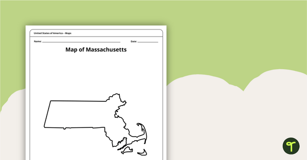
Map of Massachusetts Template
A blank map of Massachusetts to use during Geography lessons.