Social Studies 6.3(C)
identify and locate major physical and human geographic features such as landforms, water bodies, and urban centers of various places and regions; and
- Plus Plan

Map of Washington With Counties and Capital
Download the best printable map of Washington state, including capital city and county lines, for your geography lessons.
- Plus Plan
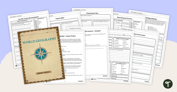
World Geography – Country Research Project Inquiry Task
Help your students discover new countries with our printable country research project template.
- Plus Plan
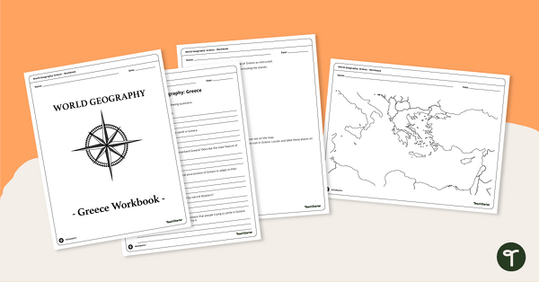
Features of Greece Map & Geography Worksheet Pack
Print a map of Greece and pack of geography worksheets for 6th grade.
- Plus Plan
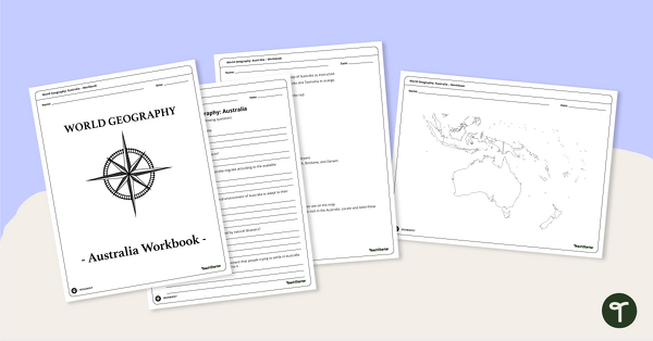
Physical Features of Australia – Geography Worksheets
A printable pack of worksheets for students to learn about Australia's geography and complete a labeled map of Australia.
- Plus Plan
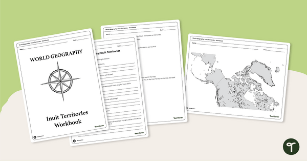
Geography of the Inuit - Canada Territories Worksheets
A workbook for students to use their investigation and map while learning about civilizations in Inuit Territories.
- Plus Plan
Discover Egypt – Geography Worksheets
A workbook for students to use their investigation and map while learning about physical geography in Egypt.
- Plus Plan

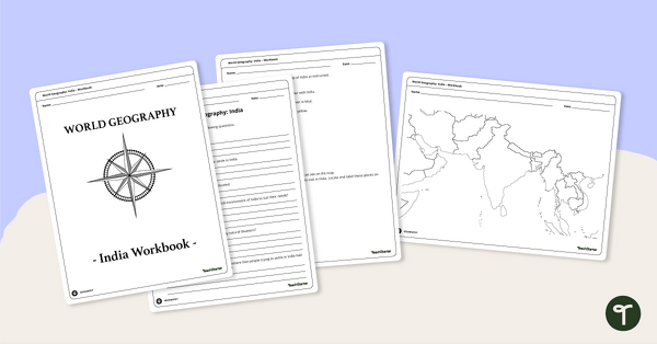
Countries of the World - Geography of India Worksheets
A workbook for students to use their investigation and map skills while learning about civilizations in India.
- Plus Plan
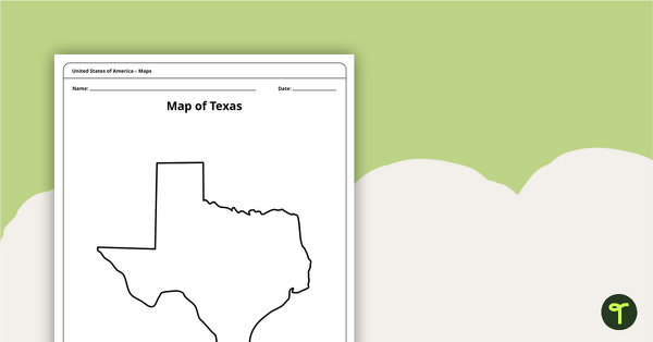
Outline of Texas - Printable Blank Map
A blank map of Texas to use during Geography lessons.
- Plus Plan
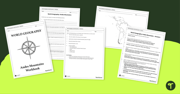
Analyze and Label South America Map & Andes Mountain Worksheet Pack
Explore civilizations in the Andes Mountains with students using the printable map and worksheet pack for sixth graders.
- Plus Plan
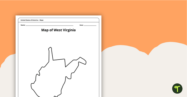
Blank Map of West Virginia Template
A blank map of West Virginia to use during Geography lessons.
- Plus Plan
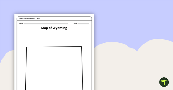
Blank Map of Wyoming Template
Download a blank Wyoming map for your lesson plans, student research projects and more!
- Plus Plan
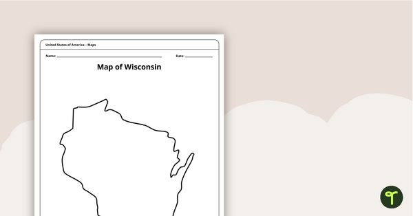
Map of Wisconsin Template
A blank map of Wisconsin to use during Geography lessons.
- Plus Plan
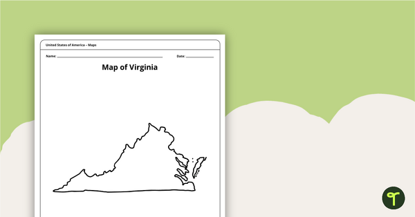
Blank Map of Virginia Template
A blank map of Virginia to use during Geography lessons.
- Plus Plan
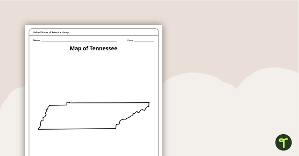
Map of Tennessee Template
A blank map of Tennessee to use during Geography lessons.
- Plus Plan
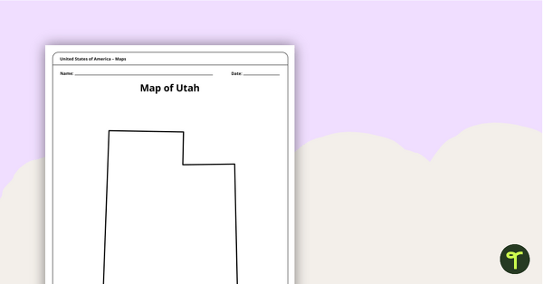
Map of Utah Template
A blank map of Utah to use during Geography lessons.
- Plus Plan
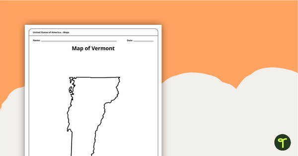
Map of Vermont Template
A blank map of Vermont to use during Geography lessons.
- Plus Plan
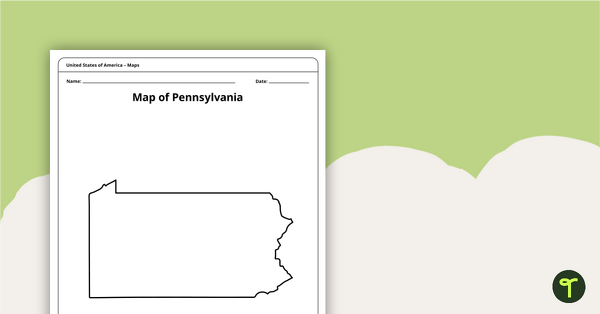
Map of Pennsylvania Template
A blank map of Pennsylvania to use during Geography lessons.
- Plus Plan
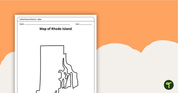
Map of Rhode Island Template
Download a printable blank map of Rhode Island to use during geography and Ocean State history lessons.
- Plus Plan
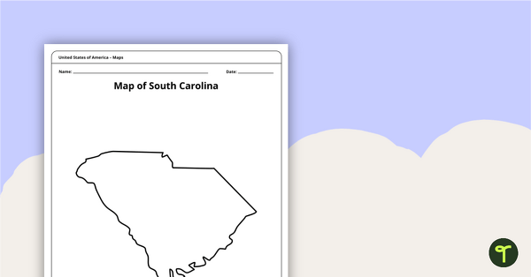
Blank Map of South Carolina Template
Use this printable blank map of South Carolina to during geography and Palmetto State history lessons.
- Plus Plan
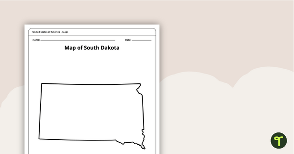
Blank Map of South Dakota Template
A blank map of South Dakota to use during Geography lessons.
- Plus Plan
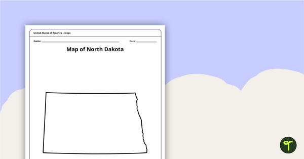
Map of North Dakota Template
A blank map of North Dakota to use during Geography lessons.
- Plus Plan
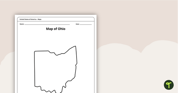
Map of Ohio Template
A blank map of Ohio to use during Geography lessons.
- Plus Plan
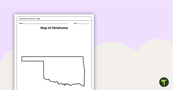
Blank Map of Oklahoma Template
A blank map of Oklahoma to use during Geography lessons.
- Plus Plan
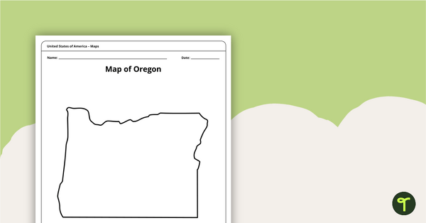
Map of Oregon Template
A blank map of Oregon to use during Geography lessons.
- Plus Plan
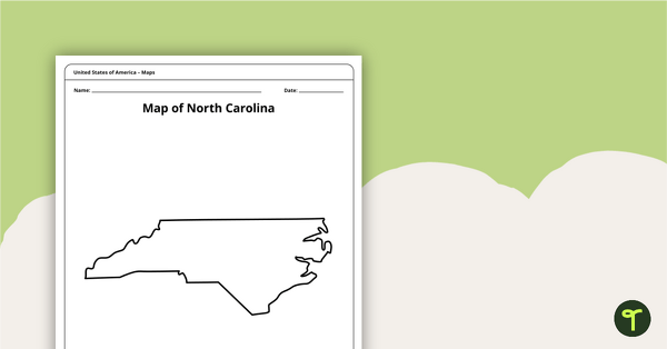
Map of North Carolina Template
A blank map of North Carolina to use during Geography lessons.
- Plus Plan

Blank Printable Map of New York
A blank printable map of New York State to use during Geography lessons.
- Plus Plan
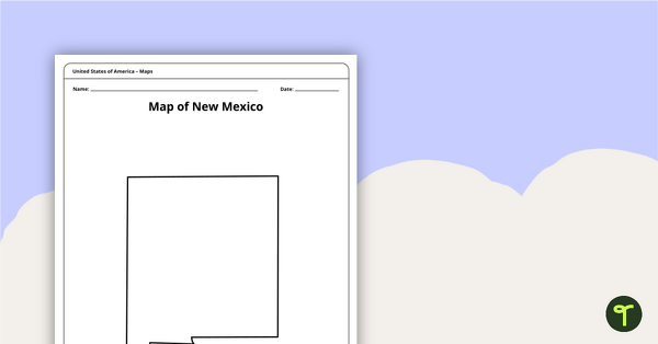
Map of New Mexico Template
A blank map of New Mexico to use during Geography lessons.
- Plus Plan
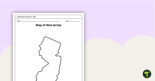
Map of New Jersey Template
A blank map of New Jersey to use during Geography lessons.
- Plus Plan
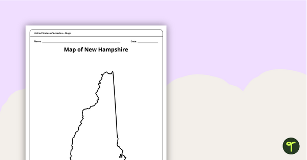
Map of New Hampshire Template
A blank map of New Hampshire to use during Geography lessons.
- Plus Plan
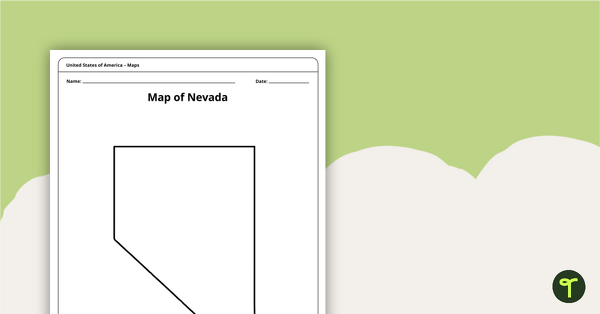
Map of Nevada Template
A blank map of Nevada to use during Geography lessons.
- Plus Plan
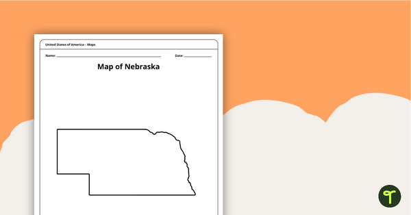
Map of Nebraska Template
A blank map of Nebraska to use during Geography lessons.
- Plus Plan
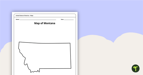
Blank Map of Montana Template
A blank map of Montana to use during Geography lessons.