Teks
Social Studies 6.20
Social studies skills. The student uses geographic tools to collect, analyze, and interpret data. The student is expected to:
Show more
5
teaching resources for those 'aha' moments
- Plus Plan
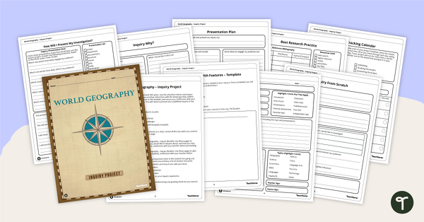
World Geography – Country Research Project Inquiry Task
Help your students discover new countries with our printable country research project template.
- Plus Plan
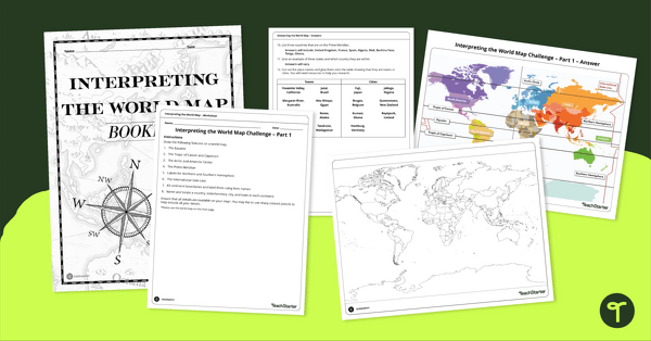
Interpreting the World Map Worksheet Pack
Print a pack of worksheets to quiz your students on their knowledge of world map features.
- Plus Plan
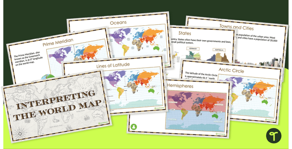
Interpreting the World Map and Map Features – Slide Deck
Explore the key map features of world maps with this 18-slide PowerPoint presentation.
- Plus Plan
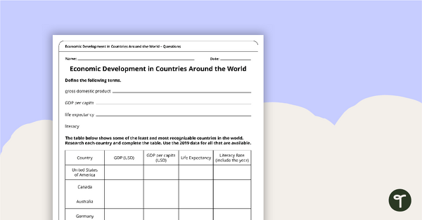
Economic Development in Countries Around the World – Worksheet
A worksheet for students to research different economies around the world.
- Plus Plan
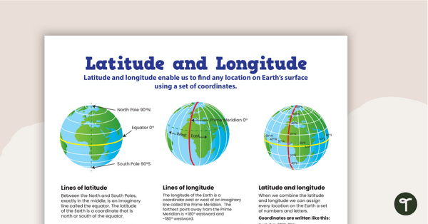
Latitude and Longitude Poster
Use this educational poster when students are learning about geographical coordinates, latitude and longitude.