ACHASSI075
Record, sort and represent data and the location of places and their characteristics in different formats, including simple graphs, tables and maps, using discipline-appropriate conventions
- Free Plan
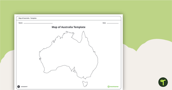
Blank Map of Australia - Template
Record and represent data about the location of significant places with this printable blank map of the continent of Australia.
- Free Plan
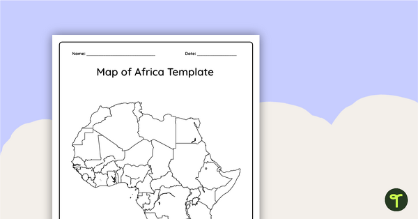
Blank Map of Africa Template
Record and represent data about the location of significant places with this printable blank map of the continent of Africa.
- Plus Plan
The Natural Environment of Africa PowerPoint
A 17 slide editable PowerPoint template to use when introducing students to the climate, vegetation and animals of Africa.
- Plus Plan
The Natural Environment of Australia PowerPoint
A 23 slide editable PowerPoint template to use when introducing students to the climate, vegetation and animals of Australia.
- Plus Plan
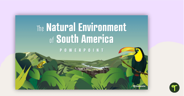
The Natural Environment of South America PowerPoint
A 17 slide editable PowerPoint template to use when introducing students to the climate, vegetation and animals of South America.
- Free Plan
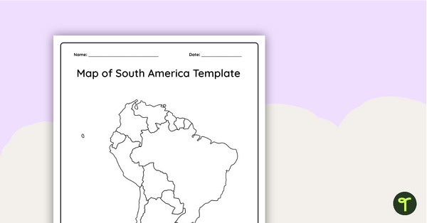
Blank Map of South America - Template
Record and represent data about the location of significant places with this printable blank map of the continent of South America.
- Plus Plan
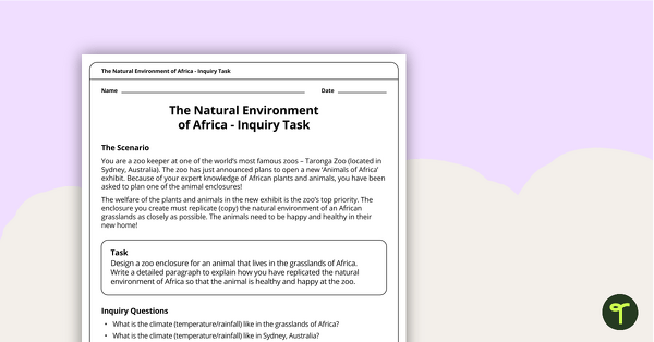
The Natural Environment of Africa - Inquiry Task
An inquiry task focusing on the natural environment of the grasslands of Africa.
- Plus Plan
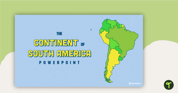
The Continent of South America PowerPoint
A 20 slide editable PowerPoint template to use when introducing students to the geographical features of South America.
- Plus Plan
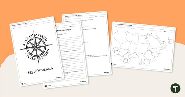
Acclimatised Civilisations: Egypt – Workbook
Learn about the physical and human geography of Egypt and the Sahara Desert with this inquiry-based mapping activity.
- Plus Plan
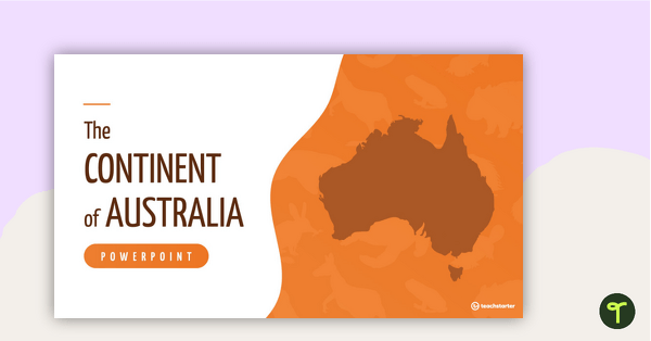
The Continent of Australia PowerPoint
A 20 slide editable PowerPoint template to use when introducing students to the geographical features of Australia.
- Plus Plan
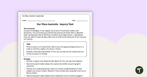
Our Place, Australia - Inquiry Task
An inquiry task focusing on the natural and human features of Australia.
- Plus Plan
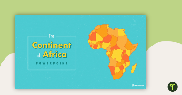
The Continent of Africa PowerPoint
A 20 slide editable PowerPoint template to use when introducing students to the geographical features of Africa.
- Plus Plan
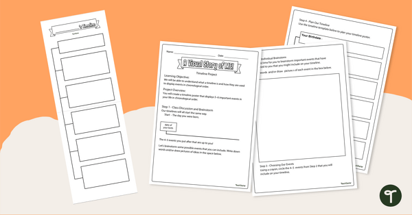
My Personal Timeline - Project Template
Apply knowledge of chronological order while students create a personal timeline highlighting important milestones.
- Plus Plan
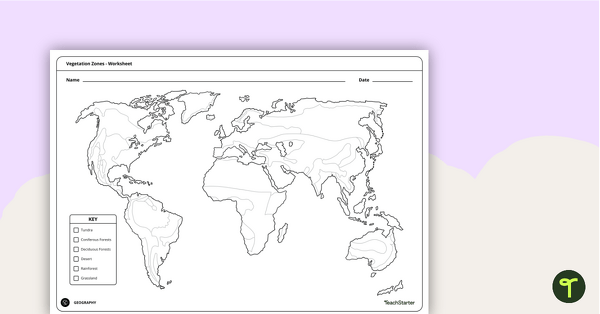
World Vegetation Zones - Mapping Template
Locate and explore different vegetation zones around the world with this mapping worksheet.
- Plus Plan
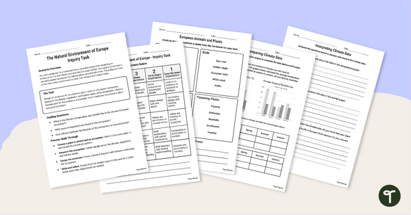
European Ecosystem Project
Explore the natural environment of Europe with this engaging European Ecosystem project.
- Plus Plan
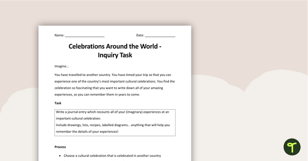
Celebrations Around The World Inquiry Task
A four page inquiry task, assessing students' knowledge of cultural celebrations from around the world.
- Plus Plan
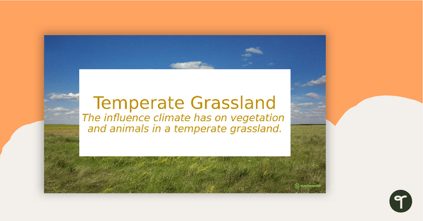
Temperate Grassland PowerPoint
An 11 slide editable PowerPoint to use in the classroom when learning about temperate grasslands.
- Plus Plan
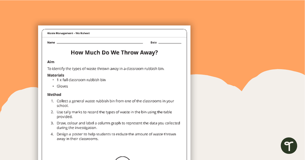
Waste Management Investigation - How Much Waste Do We Throw Away?
A practical investigation related to sustainable waste management.
- Free Plan
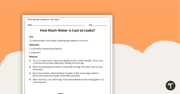
Water Wastage Investigation - How Much Water is Lost to Leaks?
A practical investigation related to sustainable resource use.
- Plus Plan
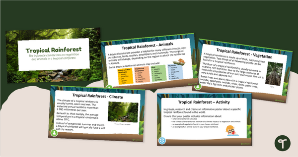
Tropical Rainforest PowerPoint
An 11 slide editable PowerPoint to use in the classroom when learning about tropical rainforests.
- Plus Plan
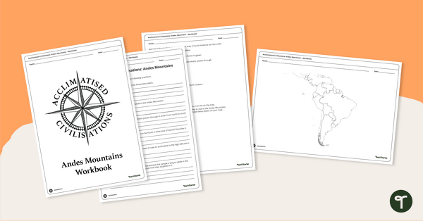
Acclimatised Civilisations: Andes Mountains – Workbook
Learn about the physical and human geography of the Andes mountains in South America with this inquiry-based mapping activity.
- Plus Plan
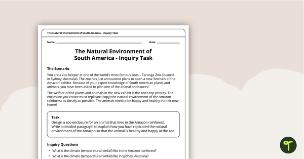
The Natural Environment of South America — Inquiry Task
An inquiry task focusing on the natural environment of the Amazon rainforest in South America.
- Plus Plan
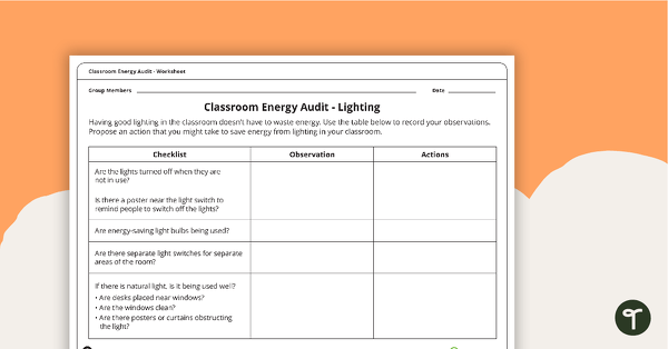
Classroom Energy Audit Worksheet
An investigation that will have students observing the energy usage in their classroom and proposing action to reduce energy waste.
- Plus Plan
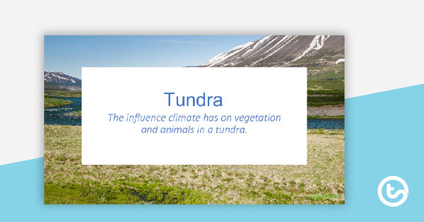
Tundra PowerPoint
An 11 slide editable PowerPoint to use in the classroom when learning about tundras.
- Plus Plan
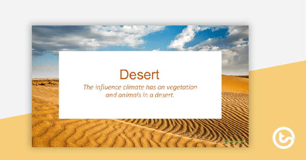
Desert PowerPoint
An 11 slide editable PowerPoint to use in the classroom when learning about deserts.
- Plus Plan
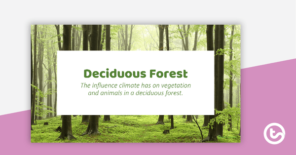
Deciduous Forest PowerPoint
An 11 slide editable PowerPoint to use in the classroom when learning about deciduous forests.
- Plus Plan
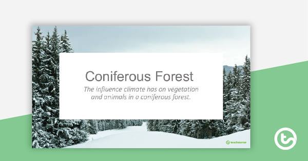
Coniferous Forest PowerPoint
An 11 slide editable PowerPoint to use in the classroom when learning about coniferous forests.
- Plus Plan
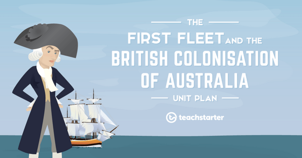
The First Fleet and the British Colonisation of Australia Unit Plan
This History unit covers a range of concepts relating to the stories of the First Fleet; including reasons for the journey, who travelled to Australia, their experiences following arrival and the impact colonisation had on Indigenous Australians.
- Plus Plan

Our Place - Australia Unit Plan
This Humanities and Social Sciences unit addresses a range of concepts relating to the natural and human features of Australia.
- Plus Plan

Celebrations Around The World Unit Plan
This Humanities and Social Sciences unit addresses the topic of celebrations. It covers personal, family and community celebrations; national days; Australia-specific commemorations and religious/cultural celebrations from around the world.
- Plus Plan
The Age of Exploration, Discovery and Expansion Unit Plan
This History unit covers a range of concepts relating to the early explorers of the Age of Exploration and the 'discovery' of Australia.
- Plus Plan
The Natural Environment of Africa - Inquiry Task
A 60-minute lesson in which students will demonstrate their understanding of the natural environment of Africa through an open-ended inquiry.