Geography
Concepts for developing understanding
The content in the geography sub-strand provides opportunities to develop students' understanding of place, space, environment and interconnection. Students develop an understanding of the similarities and differences between places within and outside Australia through a study of their environmental and human characteristics (place). They examine climate (environment) and the types of settlements (space) in Australia, the Country/Place of Aboriginal and Torres Strait Islander Peoples, and Australia's neighbouring countries (place). Students come to understand how people feel about and care for places (place, environment, interconnection). Students' mental maps further develop through learning about the representation of Australia and the location of Australia's neighbouring countries (place).
Inquiry Questions
- What are the main natural and human features of Australia?
- How and why are places similar and different?
- What would it be like to live in a neighbouring country?
(source: www.australiancurriculum.edu.au)
- Plus Plan
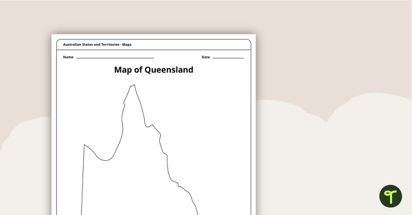
Blank Map of Queensland - Template
Record and represent data about the location of significant places with this printable blank map of the Australian state of Queensland.
- Plus Plan
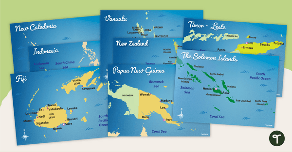
Australia's Neighbouring Countries - Poster Pack
Familiarise your students with Australia’s neighbouring countries with a pack of detailed maps.
- Free Plan
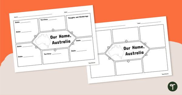
Our Home, Australia: Note-Taking Graphic Organiser
Summarise key information about Australia’s states and territories with this note-taking graphic organiser.
- Plus Plan
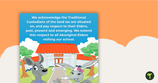
Acknowledgement of Country Poster - Lower Years
A bright and colourful illustrated Acknowledgement of Country poster to display in your classroom.
- Plus Plan

Natural and Human Features of Australia - Capital City Fact Files (Complete Set)
8 beautifully designed and illustrated fact files explaining the natural and human features of Australia's capital cities.
- Plus Plan
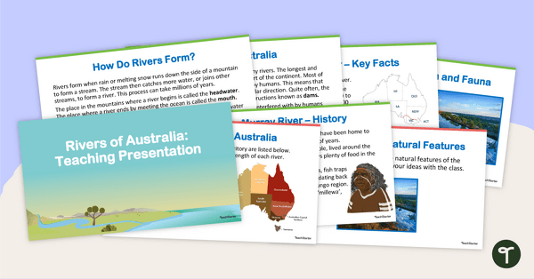
Rivers of Australia - Teaching Presentation
Explore Australia's complex system of rivers with this 14-slide editable teaching presentation.
- Plus Plan
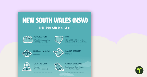
States and Territories of Australia Posters
8 beautifully illustrated posters outlining key information about Australia's states and territories.
- Plus Plan
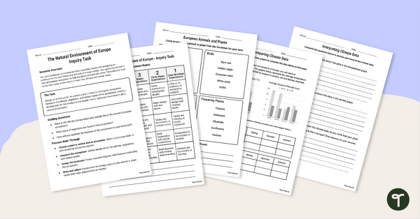
European Ecosystem Project
Explore the natural environment of Europe with this engaging European Ecosystem project.
- Plus Plan
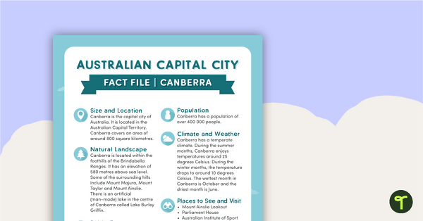
Natural and Human Features of Australia - Canberra Fact File
A beautifully designed and illustrated fact file explaining the natural and human features of Canberra.
- Plus Plan
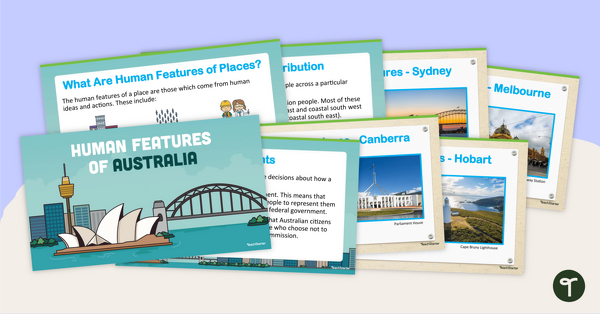
Human Features of Australia PowerPoint
A 22 slide editable PowerPoint template to use when studying the human features of Australia.
- Plus Plan
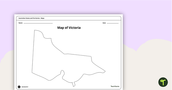
Blank Map of Victoria - Template
Record and represent data about the location of significant places with this printable blank map of the Australian state of Victoria.
- Plus Plan
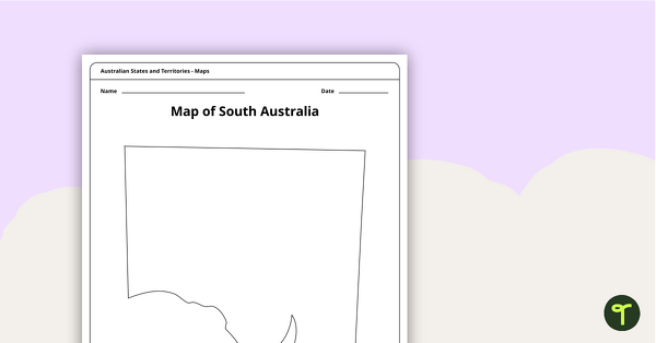
Blank Map of South Australia - Template
Record and represent data about the location of significant places with this printable blank map of the Australian state of South Australia.
- Plus Plan
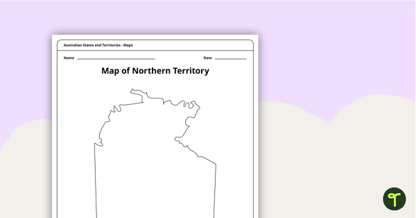
Map of the Northern Territory Template
Record and represent data about the location of significant places with this printable blank map of the Northern Territory.
- Plus Plan
Five Australian Landmarks Posters
A set of 5 posters highlighting some of Australia's most famous Landmarks.
- Free Plan
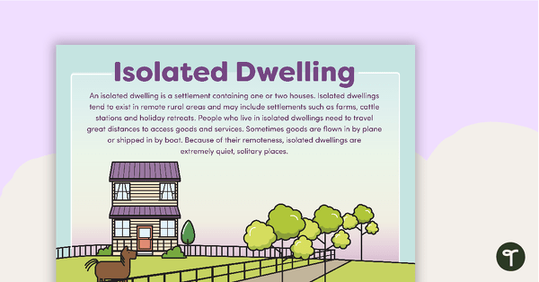
Types of Settlements Posters
5 beautifully illustrated posters explaining the various types of settlements.
- Free Plan
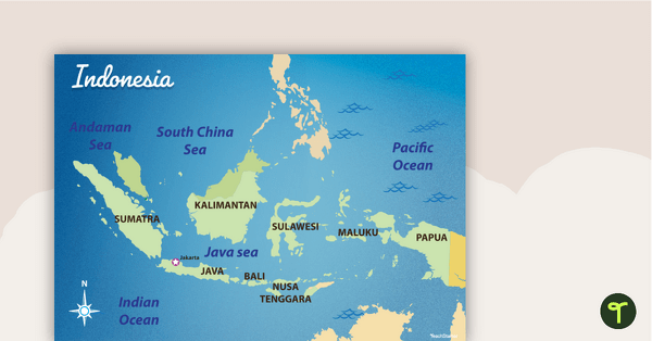
Map of Indonesia
Familiarise your students with Australia’s neighbouring countries with this detailed map of Indonesia.
- Plus Plan
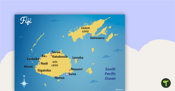
Map of Fiji
Familiarise your students with Australia’s neighbouring countries with this detailed map of Fiji.
- Plus Plan
African Flags Worksheets - BW
Eight black and white worksheets with flags from Africa.
- Plus Plan
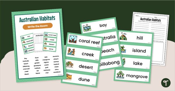
Australian Habitats Word Wall - Write The Room Activity
Explore and write about Australian habitats with a printable Habitats Word Wall and Write the Room Activity pack.
- Plus Plan
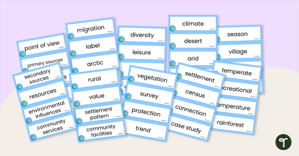
Australia and Its Neighbours - Geography Word Wall Vocabulary
Sixty-three mapping vocabulary cards for Geography.
- Free Plan
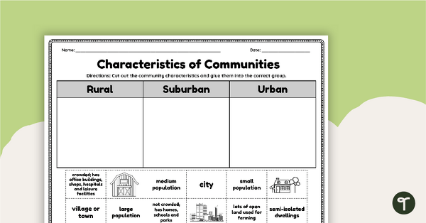
Characteristics of Communities - Cut and Paste Worksheet
Identify characteristics of the different types of communities (urban, rural, suburban) with a cut-and-paste sorting worksheet.
- Plus Plan
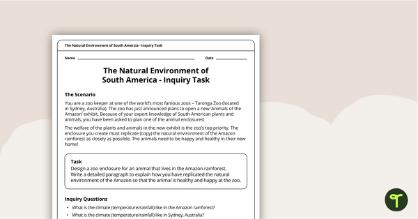
The Natural Environment of South America — Inquiry Task
An inquiry task focusing on the natural environment of the Amazon rainforest in South America.
- Plus Plan
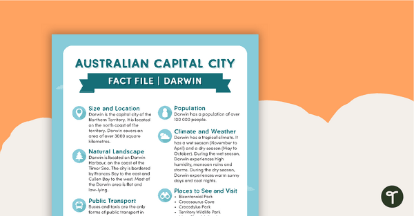
Natural and Human Features of Australia - Darwin Fact File
A beautifully designed and illustrated fact file explaining the natural and human features of Darwin.
- Plus Plan
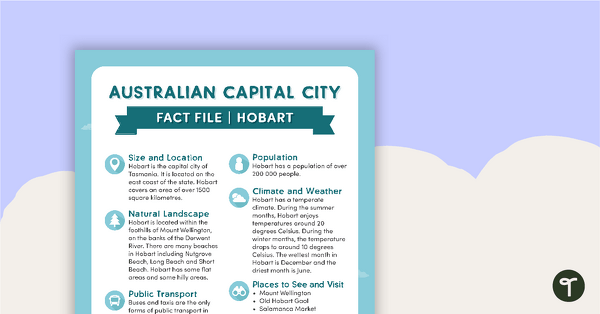
Natural and Human Features of Australia - Hobart Fact File
A beautifully designed and illustrated fact file explaining the natural and human features of Hobart.
- Plus Plan
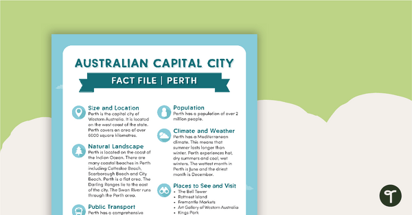
Natural and Human Features of Australia - Perth Fact File
A beautifully designed and illustrated fact file explaining the natural and human features of Perth.
- Plus Plan
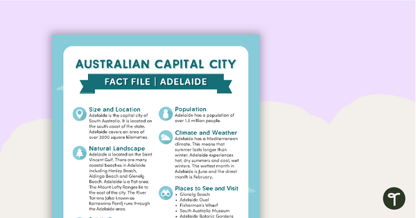
Natural and Human Features of Australia - Adelaide Fact File
A beautifully designed and illustrated fact file explaining the natural and human features of Adelaide.
- Plus Plan
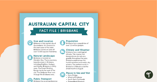
Natural and Human Features of Australia - Brisbane Fact File
A beautifully designed and illustrated fact file explaining the natural and human features of Brisbane.
- Plus Plan
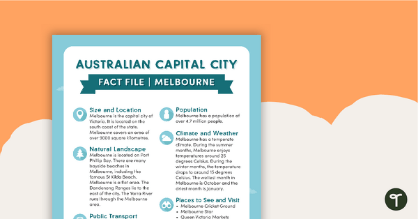
Natural and Human Features of Australia - Melbourne Fact File
A beautifully designed and illustrated fact file explaining the natural and human features of Melbourne.
- Plus Plan
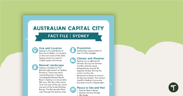
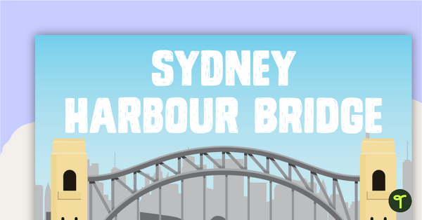
Natural and Human Features of Australia - Sydney Fact File
A beautifully designed and illustrated fact file explaining the natural and human features of Sydney.
- Plus Plan
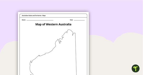
Blank Map of Western Australia - Template
Record and represent data about the location of significant places with this printable blank map of the Australian state of Western Australia.
- Plus Plan
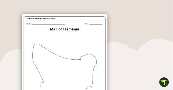
Blank Map of Tasmania Template
Record and represent data about the location of significant places with this printable blank map of the Australian state of Tasmania.
- Plus Plan
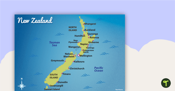
Map of New Zealand
Familiarise your students with Australia’s neighbouring countries with this detailed map of New Zealand.