Social Studies 4.20(A)
apply mapping elements, including grid systems, legends, symbols, scales, and compass roses, to create and interpret maps; and
- Plus Plan

Blank Map of Antarctica
Record and represent data about the location of significant places with this printable blank map of the continent of Antarctica.
- Plus Plan

Blank Map of North America
Grab a blank map of North America created by teachers for your lesson plans. Available in Google Slides or as a printable PDF, it's packed with possibility!
- Plus Plan
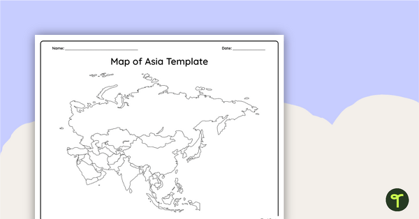
Blank Map of Asia
Use this printable and digital blank map of Asia for quizzes, labeling activities and to have students and represent data about the location of significant places.
- Plus Plan

Blank Map of Europe Template (Printable & Digital)
Get a printable & digital blank map of Europe for your continent and oceans lessons!
- Plus Plan
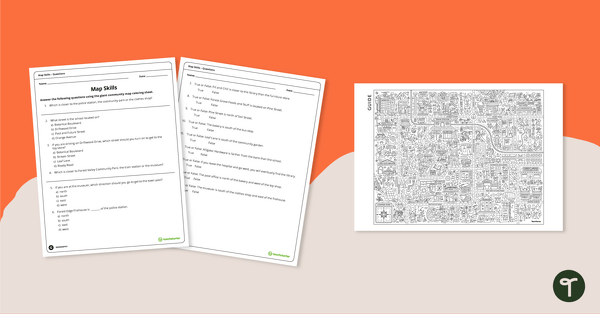
Community Giant Coloring Page and Map Skills Worksheet
An activity to practice map skills using a giant map of a community.
- Plus Plan
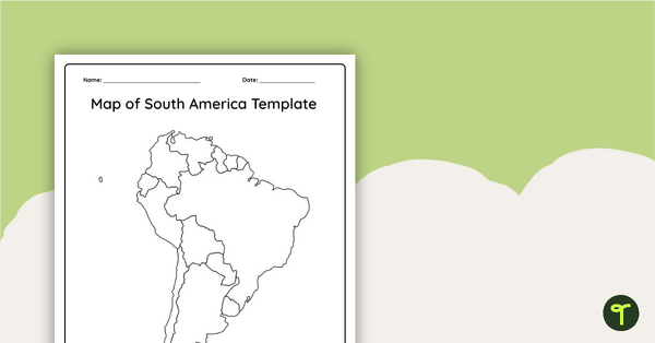
Blank Map of South America
This blank map of South America is perfect for elementary and middle school classes with editable Google Slides and printable PDF versions.
- Plus Plan
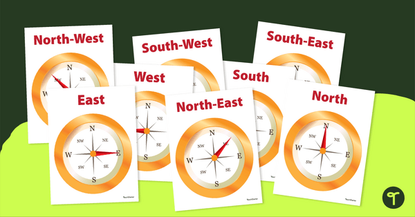
Cardinal and Intermediate Direction Posters - Compass Rose
Display these cardinal and intermediate directions posters when exploring the compass rose with your students.
- Plus Plan
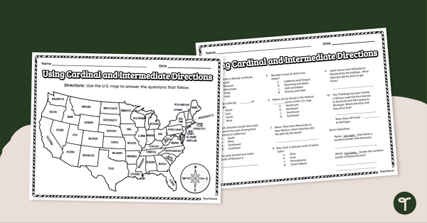
Using Cardinal and Intermediate Directions Worksheet
Use cardinal and intermediate directions to determine locations around the United States with a map reading worksheet.
- Plus Plan
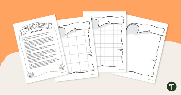
Treasure Island - Mapping Skills Worksheet
Put mapping skills into practice by creating a map of a treasure island!
- Plus Plan
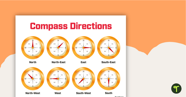
Cardinal and Intermediate Directions Poster
Display this cardinal and intermediate directions poster when exploring the compass rose with your students.
- Plus Plan
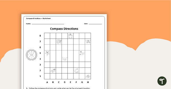
Compass Directions Worksheet
A worksheet to use when exploring grids, grid references and direction.
- Plus Plan
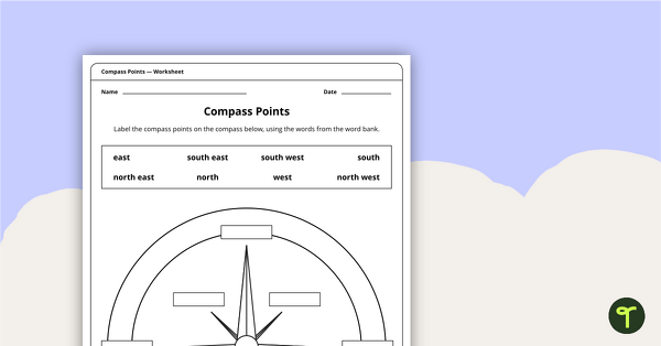
Compass Points Worksheet
A worksheet showing the 8 major compass points.
- Plus Plan
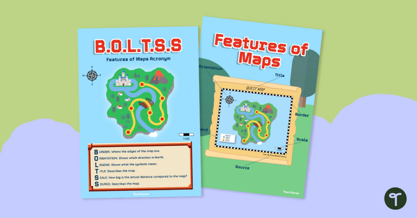
Features of Maps Posters - B.O.L.T.S.S
Explore the features of maps using this set of colorful classroom posters.
- Plus Plan
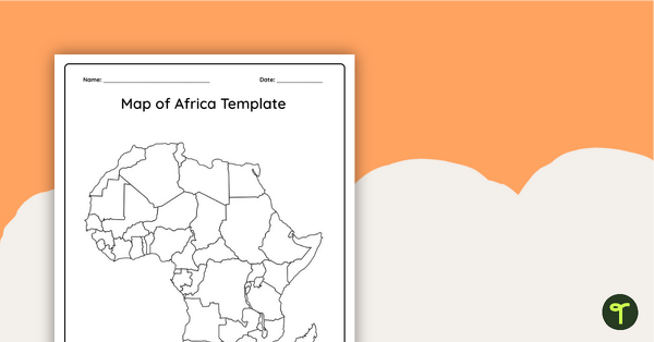
Blank Map of Africa Template
Record and represent data about the location of significant places with this printable blank map of the continent of Africa.