Geographic Features Teaching Resources
- Free Plan

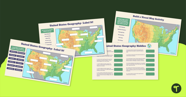
Free U.S. Mountains, Rivers, and Land Features Worksheet
Apply knowledge of the major U.S. land features, mountains, and rivers with a map labeling worksheet.
- Free Plan
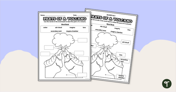
Diagram of a Volcano - Labeling Worksheet
Label the diagram of a volcano with a printable volcano worksheet.
- Plus Plan
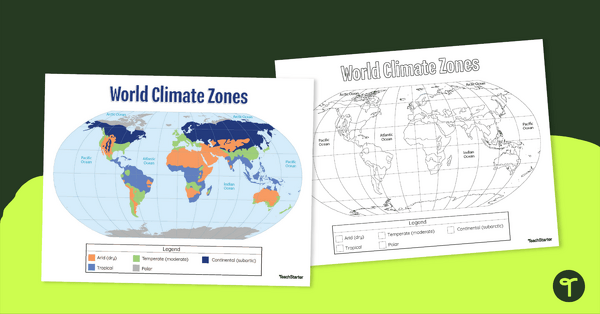
Climate Zone Map — Printable Classroom Resource
Print a climate zone map for the classroom to support lessons about the 6 climate types.
- Free Plan

Landforms of the World - Brochure Template
Add to your bank of landform project ideas with a free Landform Research Brochure.
- Free Plan
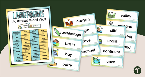
Illustrated Landform Vocabulary Word Wall
Show your students examples of different landforms with a set of printable Landform word and picture cards.
- Plus Plan

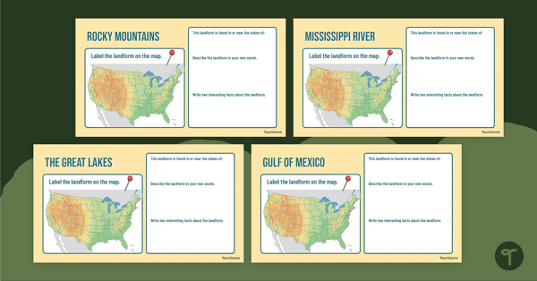
U.S. Mountains and Rivers - Student Research Workbook
Research and write about the different major mountains, rivers, and land features in the United States with a printable workbook.
- Plus Plan

Looking at Landforms Worksheet
Identify the major landforms of the world with a labeling worksheet.
- Plus Plan
Major U.S. Landforms Google Interactive
Practice identification of the major rivers, mountains, and land features in the United States with a Google Interactive activity.
- Plus Plan
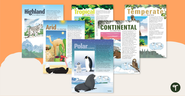
Climate Zones of the World – Poster Pack
Learn about different climate types with this set of 6 printable posters.
- Plus Plan
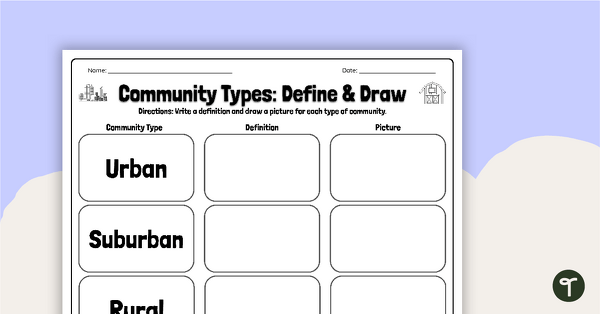
Community Types: Define and Draw
Draw and write about rural, urban, and suburban communities with a graphic organizer.
- Plus Plan
Major U.S. Landform Interactive Research Guide
Research and record facts and details about the different major mountains, rivers, lakes, and other landmarks in the U.S. with an interactive research guide.
- Plus Plan
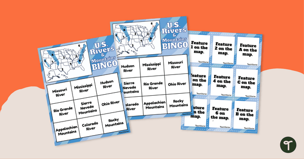
U.S. Rivers and Mountains Bingo Game
Practice identifying the major rivers and mountains in the United States with a Bingo Game.
- Plus Plan
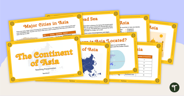
The Continent of Asia - Teaching Presentation
Familiarize your students with the physical and human geography of Asia with this comprehensive instructional slide deck.
- Plus Plan
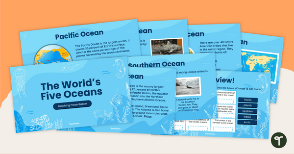
The World's Five Oceans - Instructional Slide Deck
Explore the world’s five oceans with this comprehensive slide deck.
- Plus Plan
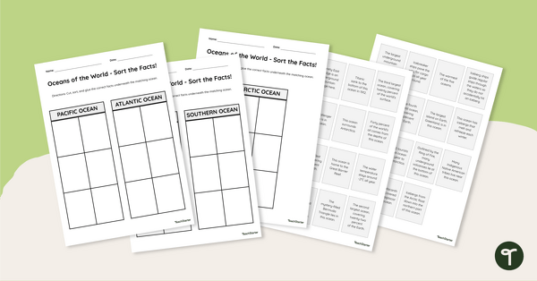
Oceans of the World - Cut and Paste Worksheet
Explore some key facts about the world’s five oceans with this cut-and-paste worksheet.
- Plus Plan
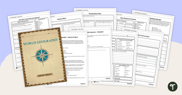
World Geography – Country Research Project Inquiry Task
Help your students discover new countries with our printable country research project template.
- Plus Plan
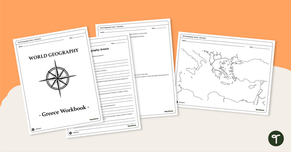
Features of Greece Map & Geography Worksheet Pack
Print a map of Greece and pack of geography worksheets for 6th grade.
- Plus Plan
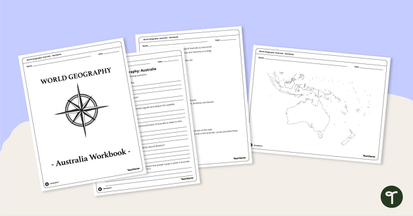
Physical Features of Australia – Geography Worksheets
A printable pack of worksheets for students to learn about Australia's geography and complete a labeled map of Australia.
- Plus Plan
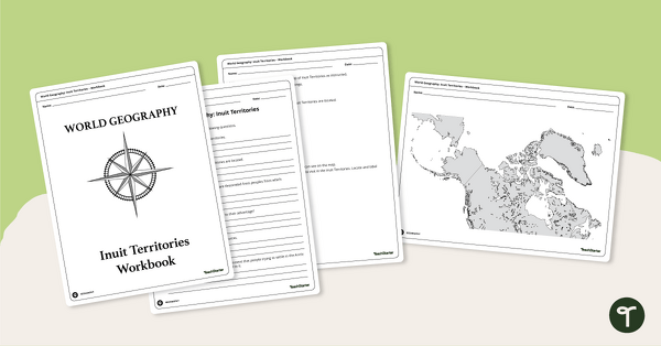
Geography of the Inuit - Canada Territories Worksheets
A workbook for students to use their investigation and map while learning about civilizations in Inuit Territories.
- Plus Plan
Discover Egypt – Geography Worksheets
A workbook for students to use their investigation and map while learning about physical geography in Egypt.
- Plus Plan

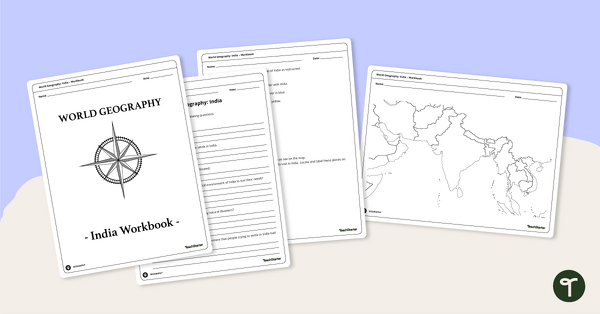
Countries of the World - Geography of India Worksheets
A workbook for students to use their investigation and map skills while learning about civilizations in India.
- Plus Plan
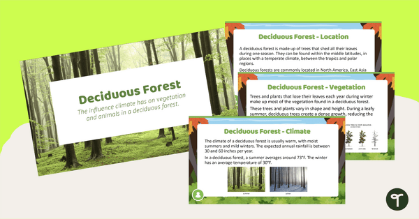
Deciduous Forest Biome Slide Deck
An 11-slide editable PowerPoint to use in the classroom when learning about deciduous forests.
- Plus Plan
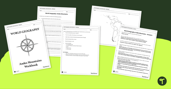
Analyze and Label South America Map & Andes Mountain Worksheet Pack
Explore civilizations in the Andes Mountains with students using the printable map and worksheet pack for sixth graders.
- Plus Plan
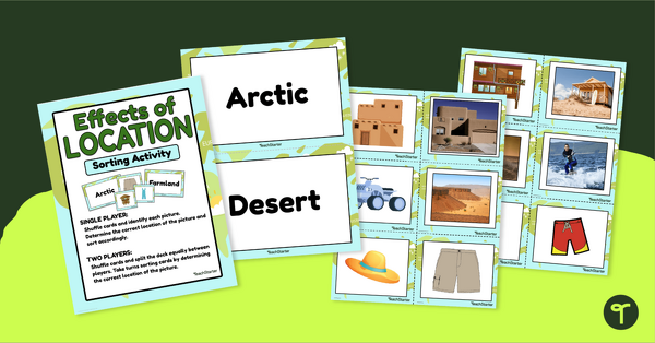
Effects of Physical Location Sort
Help children learn how the environment affects those that live in a specific area with a sorting activity.
- Plus Plan
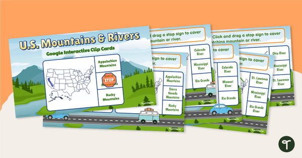
U.S. Mountain and River Interactive Clip Cards
Identify the major rivers and mountains in the United States with a set of Google Slides interactive clip cards.
- Plus Plan
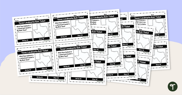
Texas Landmarks Exit Tickets
Supplement your Texas history and geography lessons with a group of Texas Landmark exit tickets.
- Plus Plan
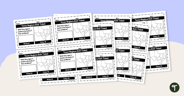
Texas Regions Exit Tickets
Supplement your Regions of Texas lessons with a group of exit tickets.
- Plus Plan
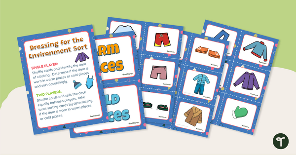
Dressing for the Physical Environment Sorting Activity
Help children learn about dressing for the environment by sorting clothing items into categories for warm climate and cold climate.
- Plus Plan
Desert Page Border
A page border with a desert theme.
- Plus Plan

The Continent of South America PowerPoint
A 20-slide, editable PowerPoint template to use when introducing students to the geographical features of South America.
- Plus Plan
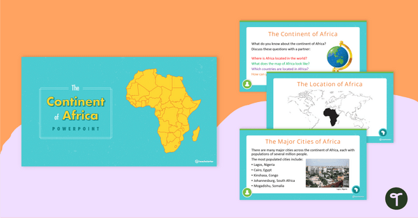
The Continent of Africa PowerPoint
A 20 slide editable PowerPoint template to use when introducing students to the geographical features of Africa.
- Plus Plan
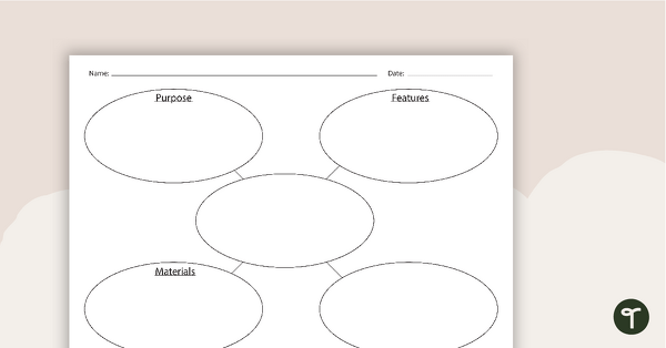
Built Environments Concept Map
A concept map to use when learning about built environments.