Geography Teaching Resources for 2nd Grade
- Plus Plan
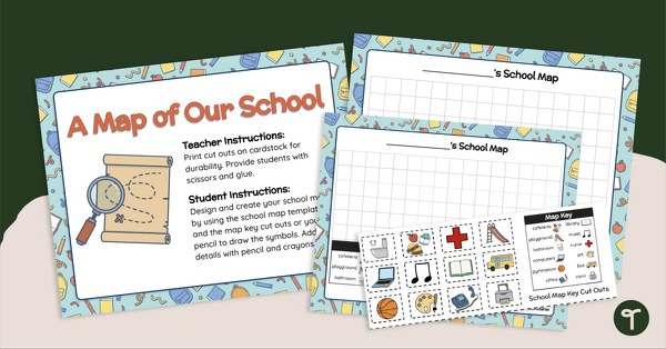
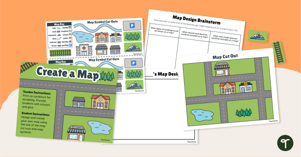
A Map of Our School - Mapmaking Project
Develop primary grade map skills with a map-making project for first and second grade.
- Plus Plan
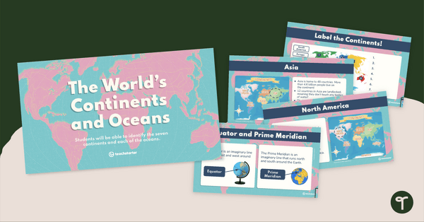
The World's Continents and Oceans Instructional Slide Deck
Explore the seven continents and five oceans of the world with this comprehensive teaching presentation.
- Plus Plan
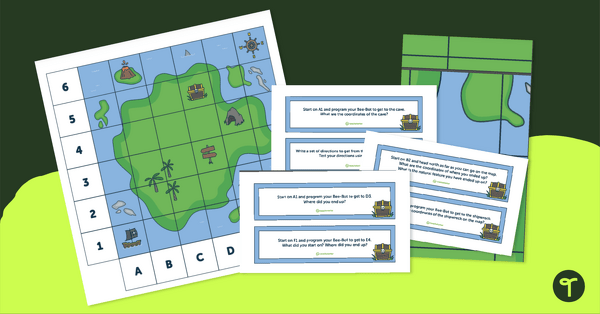
Treasure Map Coding Robot Mat
Implement coding for kids with coding robots and a printable coding robot map activity.
- Plus Plan
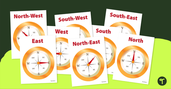
Cardinal and Intermediate Direction Posters - Compass Rose
Display these cardinal and intermediate directions posters when exploring the compass rose with your students.
- Plus Plan
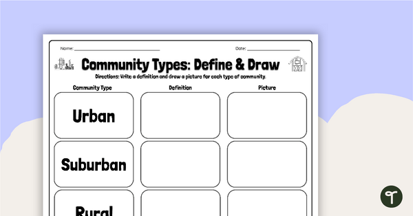
Community Types: Define and Draw
Draw and write about rural, urban, and suburban communities with a graphic organizer.
- Plus Plan
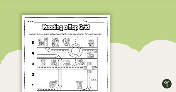
Reading a Map Grid Worksheet
Develop elementary grade map skills with a coordinate grid worksheet.
- Plus Plan
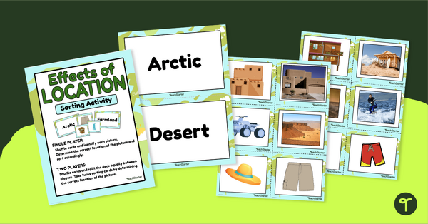
Effects of Physical Location Sort
Help children learn how the environment affects those that live in a specific area with a sorting activity.
- Plus Plan
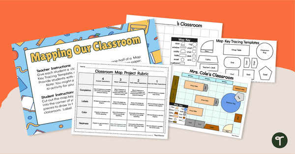
Mapping Our Classroom - Mapmaking Project
Develop primary grade map skills with a classroom mapping project.
- Plus Plan
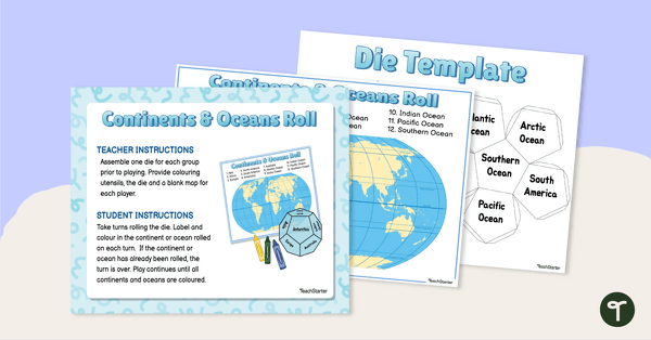
Continents and Oceans Roll and Color Game
Learn to identify the continents and oceans of the world with a Continents and Oceans Roll and Color Game.
- Plus Plan
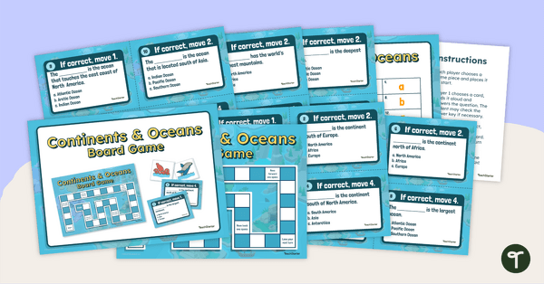
Continents and Oceans Board Game
Make world geography fun by using our Continents and Oceans Board Game!
- Plus Plan
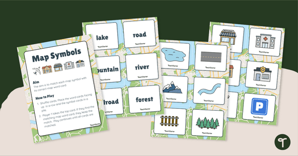
Map Symbols Matching Activity
Practice identifying the symbols found on a map with a map symbol matching activity.
- Plus Plan
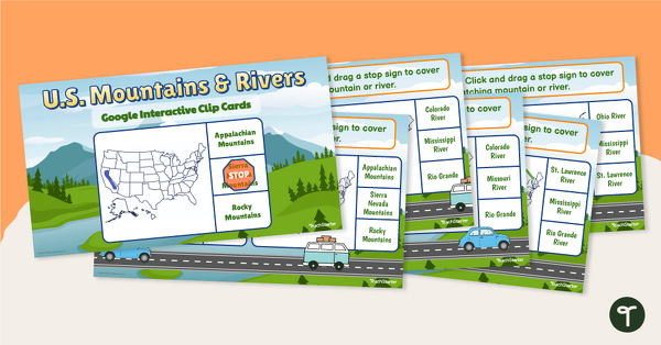
U.S. Mountain and River Interactive Clip Cards
Identify the major rivers and mountains in the United States with a set of Google Slides interactive clip cards.
- Plus Plan
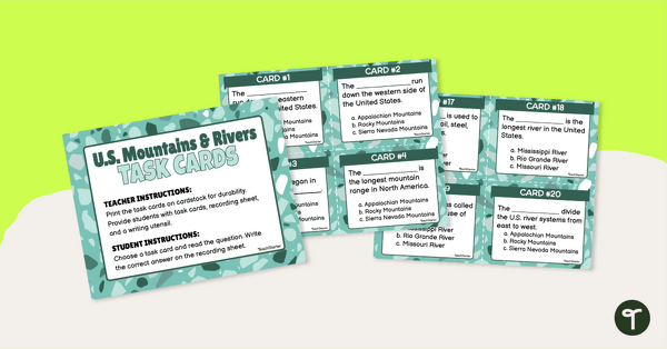
U.S. Mountains and Rivers - Task Cards
Identify the major mountain ranges and rivers in the United States with a set of descriptive task cards.
- Plus Plan
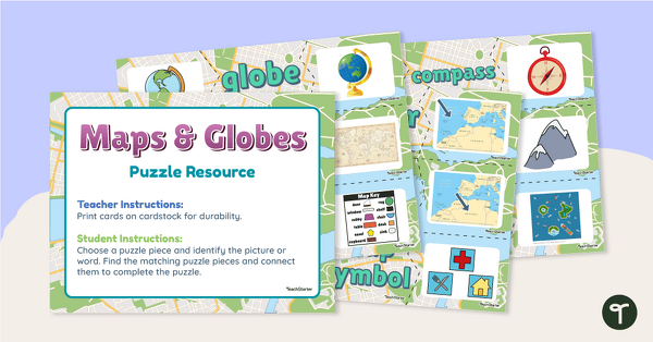
Maps and Globes Vocabulary Picture Puzzles
Make your geography lessons more fun with a set of map and globe picture puzzles.
- Plus Plan
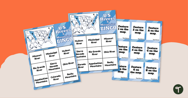
U.S. Rivers and Mountains Bingo Game
Practice identifying the major rivers and mountains in the United States with a Bingo Game.
- Plus Plan
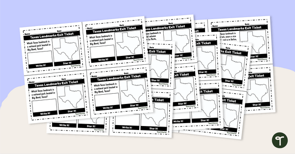
Texas Landmarks Exit Tickets
Supplement your Texas history and geography lessons with a group of Texas Landmark exit tickets.
- Plus Plan
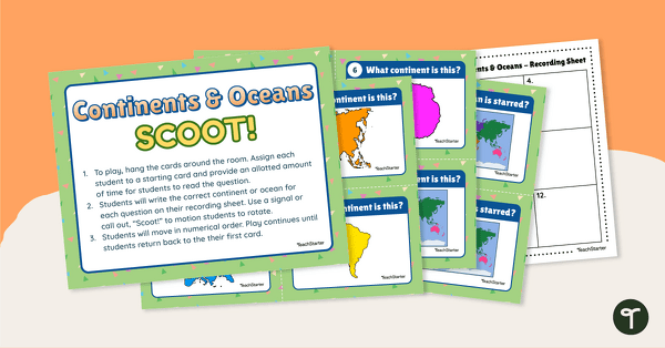
Continents and Oceans Scoot! Game
Learn to locate and identify the continents and oceans on Earth with a game of SCOOT!
- Plus Plan
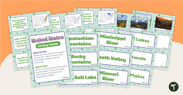
U.S. Land Features Sorting Center
Apply knowledge of the rivers, mountains, and physical features in the United States with a sorting activity.
- Plus Plan
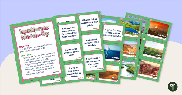
Landforms Vocabulary Match
Identify the major landforms of the world with a matching activity.
- Plus Plan
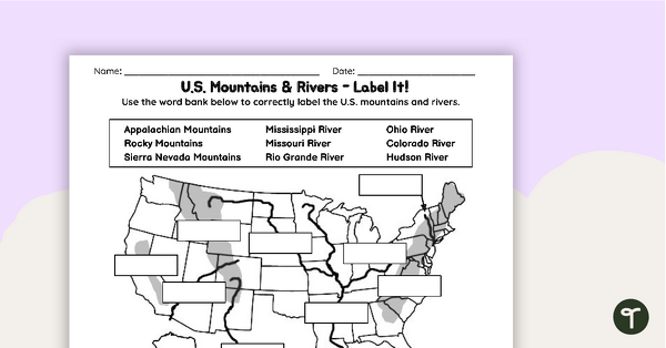
U.S. Mountains and Rivers Worksheets
Locate rivers and mountains on a U.S. physical map with two labeling worksheets.
- Plus Plan
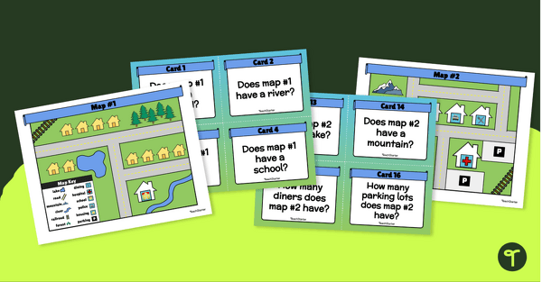
Places on a Map Task Cards
Teach your kindergarten and first-grade students to read community maps with a set of task cards.
- Plus Plan

Looking at Landforms Worksheet
Identify the major landforms of the world with a labeling worksheet.
- Plus Plan
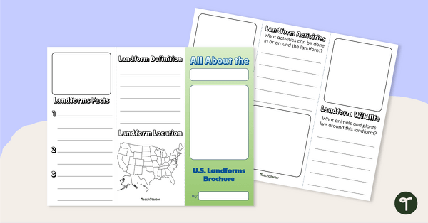
U.S. Landforms Brochure
Research and present knowledge of famous landforms in the United States with a brochure project.
- Plus Plan
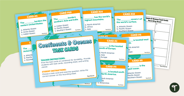
Continents and Oceans Task Cards
Practice identifying and describing the 7 continents and 5 oceans with a set of task cards.
- Plus Plan
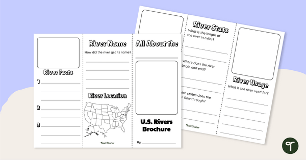
Major U.S. Rivers Brochure Template
Research the major rivers in the United States with a brochure project.
- Free Plan
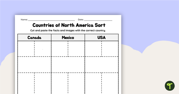
Countries of North America Sort
Practice identifying North American countries' locations, flags, and symbols with a quick and easy sorting worksheet.
- Plus Plan
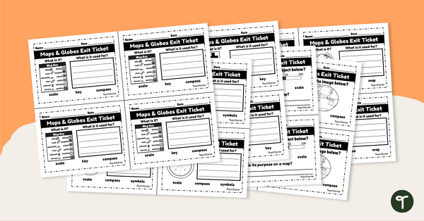
Maps and Globes-Exit Tickets
Assess student map and globe skills with twenty exit ticket worksheets.
- Plus Plan
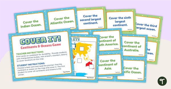
Cover It! Continents and Oceans Game
Turn geography into a fun and educational learning experience using our Cover It! Continents and Oceans Game
- Plus Plan
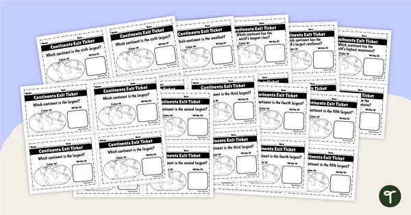
World Continents and Oceans Exit Tickets
Determine your students' mastery of Geography concepts with a set of twenty continents and oceans exit tickets.
- Plus Plan
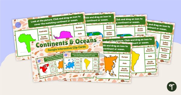
Continents and Oceans Interactive Clip Card Center
Turn geography into a digital learning experience with a Google Slides Interactive Continents and Oceans activity!
- Plus Plan
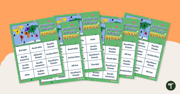
Continents and Oceans Bingo - Geography Game
Turn geography into a fun and educational learning experience by using our Continents and Oceans Bingo Game!
- Plus Plan
Me on the Map - City Map Project
Engage young learners in developing their map skills with a design-your-own map project.