Geography Teaching Resources
- Plus Plan
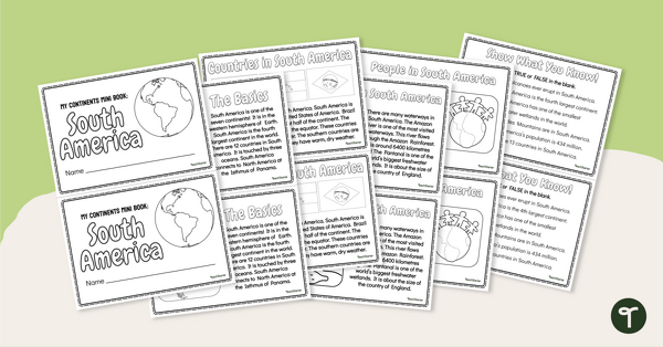
The Continent of South America - Mini-Book
Explore the wonders and delights of the continent of South America with this informative printable mini-book.
- Plus Plan
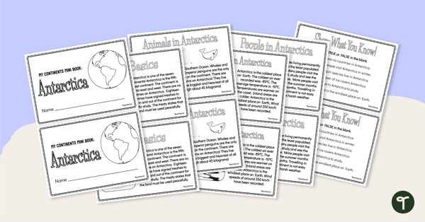
The Continent of Antarctica - Mini-Book
Explore the wonders and delights of the continent of Antarctica with this informative printable mini-book.
- Plus Plan
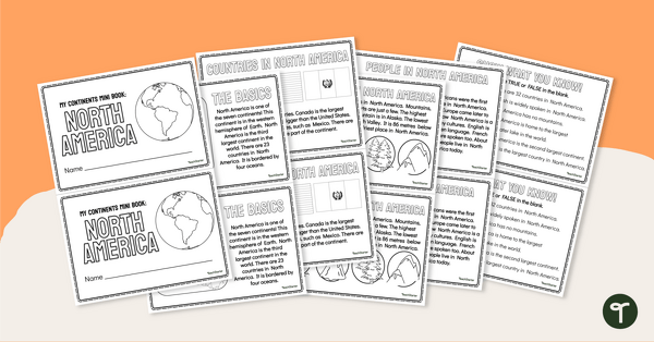
The Continent of North America - Mini-Book
Explore the wonders and delights of the continent of North America with this informative printable mini-book.
- Plus Plan
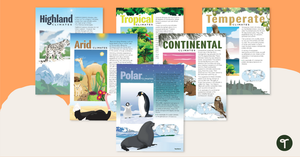
Climate Zones of the World – Poster Pack
Learn about different climate types with this set of 6 printable posters.
- Plus Plan
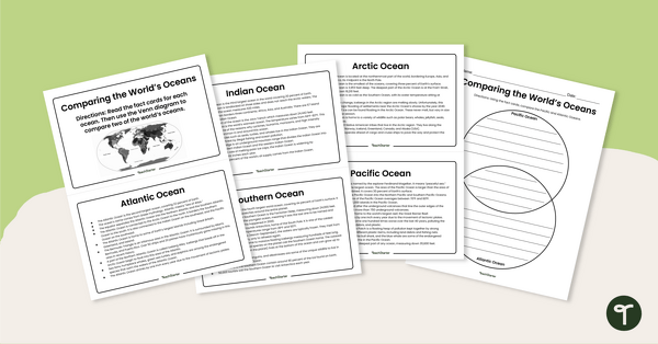
The World's Oceans - Compare and Contrast Activity
Compare and contrast the world’s five oceans with this set of information cards and Venn diagram template.
- Plus Plan
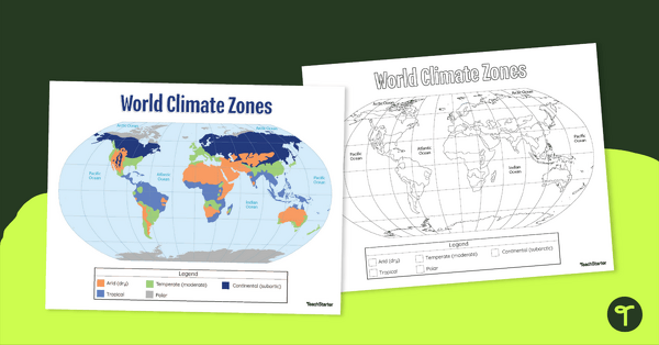
Climate Zone Map — Printable Classroom Resource
Print a climate zone map for the classroom to support lessons about the 6 climate types.
- Plus Plan
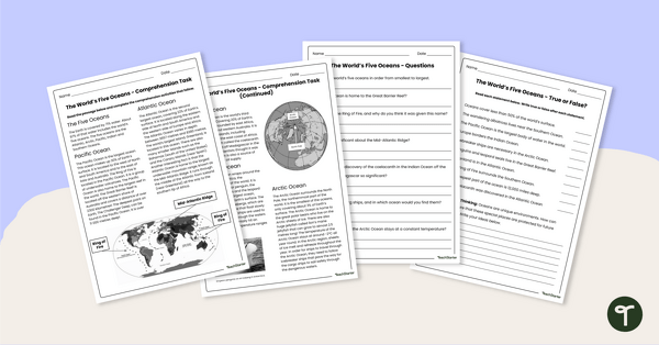
The World's Oceans - Comprehension Worksheet
Explore the world’s five oceans with this detailed comprehension passage and related questions.
- Plus Plan
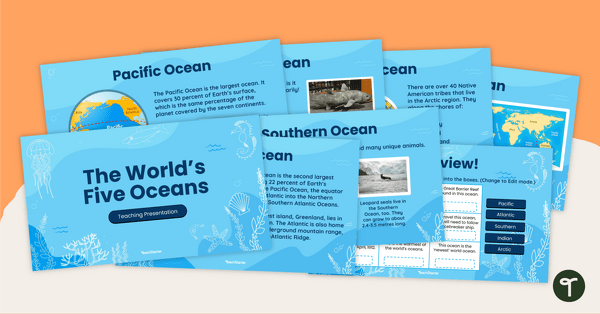
The World's Five Oceans - Instructional Slide Deck
Explore the world’s five oceans with this comprehensive slide deck.
- Plus Plan

Blank Map of North America
Grab a blank map of North America created by teachers for your lesson plans. Available in Google Slides or as a printable PDF, it's packed with possibility!
- Plus Plan
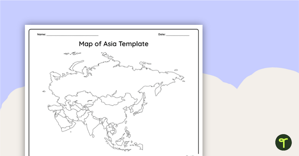
Blank Map of Asia
Use this printable and digital blank map of Asia for quizzes, labeling activities and to have students and represent data about the location of significant places.
- Plus Plan

Blank Map of Europe Template (Printable & Digital)
Get a printable & digital blank map of Europe for your continent and oceans lessons!
- Plus Plan
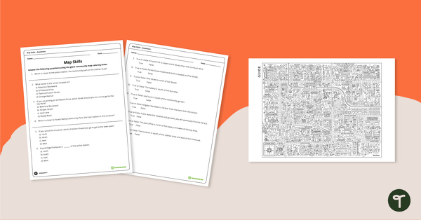
Community Giant Coloring Page and Map Skills Worksheet
An activity to practice map skills using a giant map of a community.
- Plus Plan
Map of the World - Labeling Activity
Discover and label the world's continents and oceans with this blank map of the world.
- Plus Plan
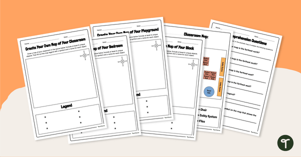
Create Your Own Map - Worksheet
Create simple maps of familiar places with this set of map templates and accompanying comprehension questions.
- Plus Plan
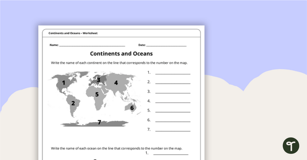
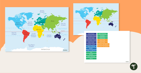
Continents and Oceans Worksheet
A worksheet to practice identifying the 7 continents and 5 oceans.
- Plus Plan
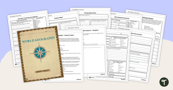
World Geography – Country Research Project Inquiry Task
Help your students discover new countries with our printable country research project template.
- Plus Plan
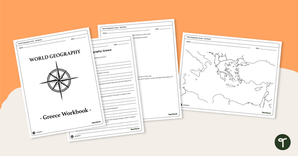
Features of Greece Map & Geography Worksheet Pack
Print a map of Greece and pack of geography worksheets for 6th grade.
- Plus Plan
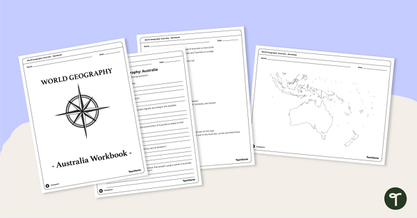
Physical Features of Australia – Geography Worksheets
A printable pack of worksheets for students to learn about Australia's geography and complete a labeled map of Australia.
- Plus Plan
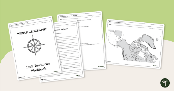
Geography of the Inuit - Canada Territories Worksheets
A workbook for students to use their investigation and map while learning about civilizations in Inuit Territories.
- Plus Plan
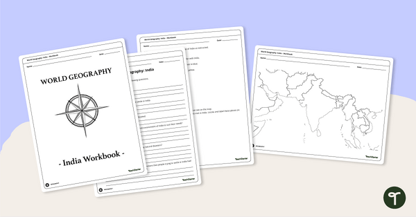
Countries of the World - Geography of India Worksheets
A workbook for students to use their investigation and map skills while learning about civilizations in India.
- Plus Plan
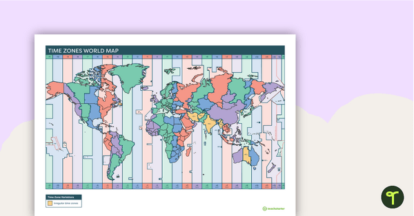
Printable Time Zone World Map
A poster to display in the classroom when locating the different time zones of the world.
- Plus Plan

World Biomes Map
Locate and explore the different biomes of the world with this engaging classroom poster.
- Plus Plan
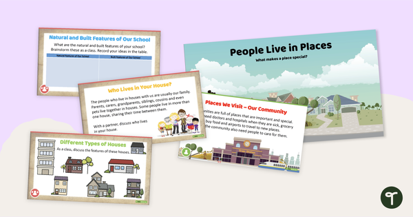
Places in the Community PowerPoint
A 21 slide editable PowerPoint template introducing students to investigating the places people live in and belong to.
- Plus Plan
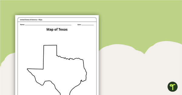
Outline of Texas - Printable Blank Map
A blank map of Texas to use during Geography lessons.
- Plus Plan
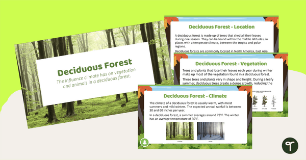
Deciduous Forest Biome Slide Deck
An 11-slide editable PowerPoint to use in the classroom when learning about deciduous forests.
- Free Plan
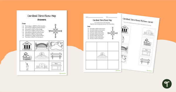
Cardinal Directions Worksheet for First Grade
Use cardinal directions to create a simple town map with this 2-page cut-and-paste activity sheet.
- Plus Plan
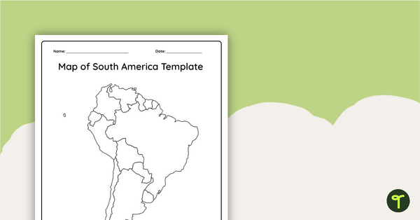
Blank Map of South America
This blank map of South America is perfect for elementary and middle school classes with editable Google Slides and printable PDF versions.
- Plus Plan
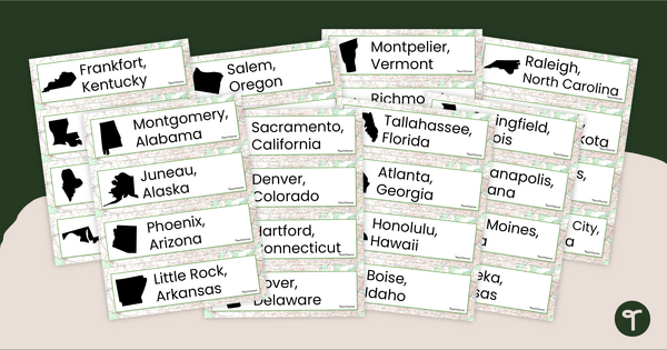
50 States and Capitals Word Wall Cards
Display the 50 states and capitals with 50 states map and word wall display.
- Plus Plan

Printable Map of Native American Tribes of North America
Print and use a detailed map showing the regions of native American tribes.
- Plus Plan
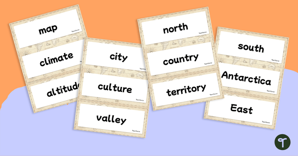
World Geography – Vocabulary Word Wall
Content-specific vocabulary cards for a word wall based on the World Geography resources.
- Plus Plan
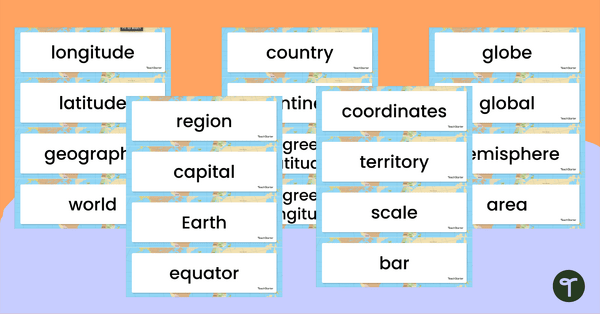
Geography Vocabulary Word Wall Cards
Print a set of 100 geography-related vocabulary word cards for a word wall.
- Plus Plan
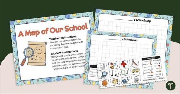
A Map of Our School - Mapmaking Project
Develop primary grade map skills with a map-making project for first and second grade.