Geography Teaching Resources
- Free Plan
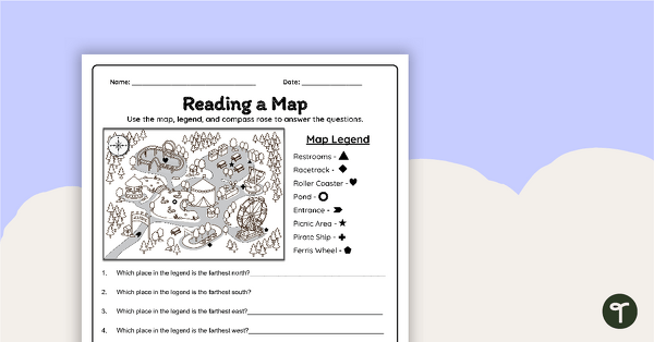
Reading a Map Worksheet
Develop elementary grade map skills with a map-reading worksheet.
- Free Plan
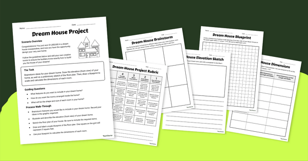
Math Dream House Project
Introduce this math dream house project to your students to help them increase spatial skills while designing the home of their dreams!
- Free Plan

Labeling the Continents and Oceans Worksheets
Turn geography into a fun and educational learning experience by using our free Continents and Oceans worksheets!
- Free Plan
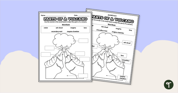
Diagram of a Volcano - Labeling Worksheet
Label the diagram of a volcano with a printable volcano worksheet.
- Plus Plan
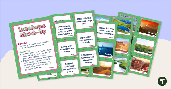
Landforms Vocabulary Match
Identify the major landforms of the world with a matching activity.
- Free Plan

Free U.S. Mountains, Rivers, and Land Features Worksheet
Apply knowledge of the major U.S. land features, mountains, and rivers with a map labeling worksheet.
- Plus Plan
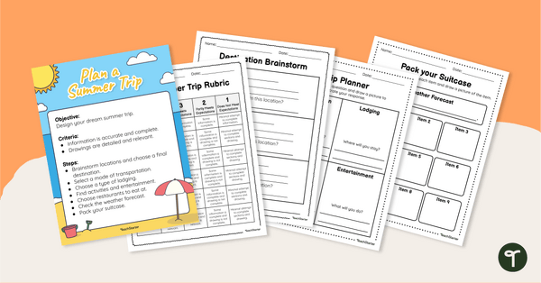
Plan Your Dream Vacation PDF / Slides Project
Prepare for a summer vacation with an end-of-the-year STEM activity.
- Free Plan
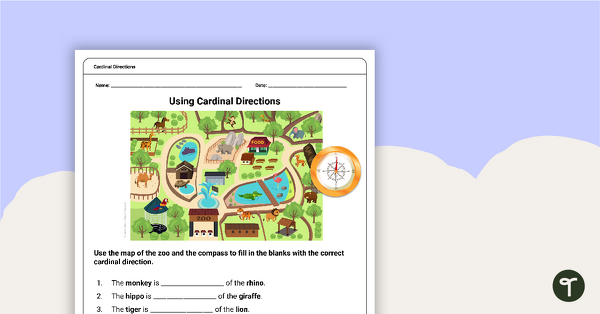
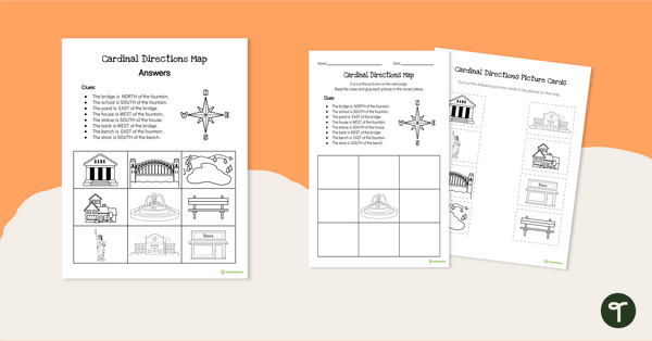
Free Map Skills Worksheet- Using Cardinal Directions
A worksheet to practice using cardinal directions.
- Plus Plan
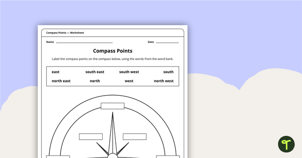
Compass Points Worksheet
A worksheet showing the 8 major compass points.
- Plus Plan
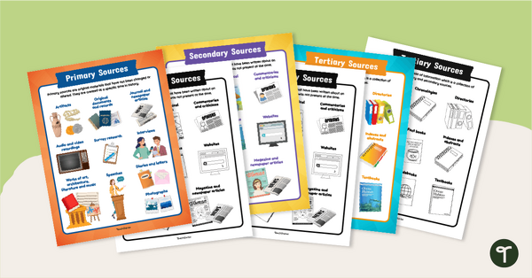
Primary, Secondary & Tertiary Sources Poster Pack
Introduce your students to examples of primary, secondary, and tertiary sources of information with a printable set of anchor charts.
- Plus Plan
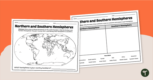
Earth's Hemispheres Worksheets
Practice identifying landforms in the northern and southern hemispheres with a pair of printable geography worksheets.
- Plus Plan

Blank Map of Europe Template (Printable & Digital)
Get a printable & digital blank map of Europe for your continent and oceans lessons!
- Free Plan
Cardinal Directions Worksheet for First Grade
Use cardinal directions to create a simple town map with this 2-page cut-and-paste activity sheet.
- Plus Plan

U.S. Mountains and Rivers - Student Research Workbook
Research and write about the different major mountains, rivers, and land features in the United States with a printable workbook.
- Plus Plan

Using Coordinate Grids-Map Skills Worksheets
A set of 13 worksheets to help teach map skills to students.
- Plus Plan
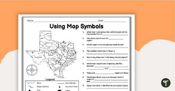
Texas Map Symbols Worksheet
Use a map key and symbols to identify and name land features, cities, and regions of Texas with a worksheet.
- Free Plan

Landforms of the World - Brochure Template
Add to your bank of landform project ideas with a free Landform Research Brochure.
- Plus Plan
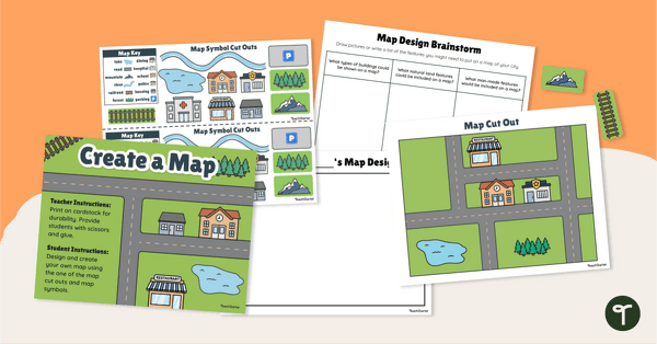
Me on the Map - City Map Project
Engage young learners in developing their map skills with a design-your-own map project.
- Plus Plan
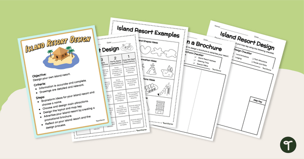
End of Year - Island Resort Design Project
Create and design your own Island Resort with a fun end of year art and STEM project for elementary students.
- Plus Plan
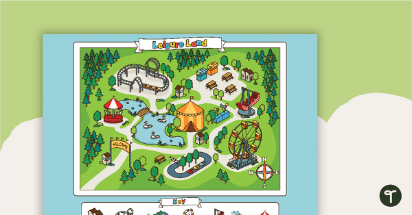
Leisure Land - Map Skills Worksheet
Practice using cardinal directions with this carnival map and worksheet.
- Plus Plan
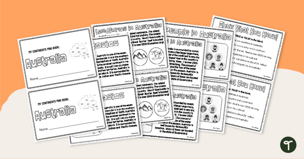
The Continent of Australia - Mini-Book
Explore the wonders and delights of the continent of Australia with this informative printable mini-book.
- Plus Plan
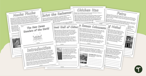
The New Seven Wonders of the World - Mini-Book
Explore the wonders and delights of the new Seven Wonders of the World with this informative mini-book.
- Free Plan
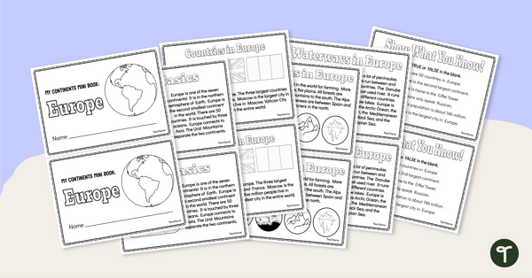
The Continent of Europe - Mini-Book
Explore the wonders and delights of the continent of Europe with this informative printable mini-book.
- Plus Plan
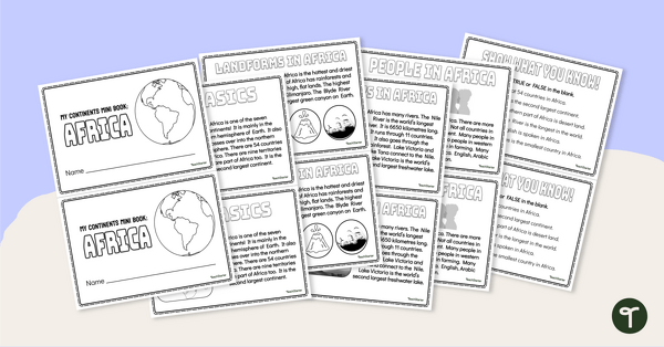
The Continent of Africa - Mini-Book
Explore the wonders and delights of the continent of Africa with this informative printable mini-book.
- Plus Plan
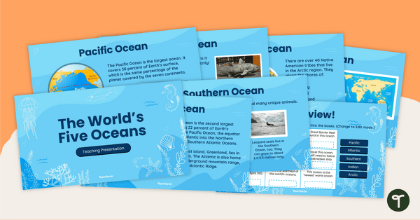
The World's Five Oceans - Instructional Slide Deck
Explore the world’s five oceans with this comprehensive slide deck.
- Plus Plan
Map of the World - Labeling Activity
Discover and label the world's continents and oceans with this blank map of the world.
- Plus Plan

Printable Map of Native American Tribes of North America
Print and use a detailed map showing the regions of native American tribes.
- Plus Plan
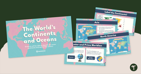
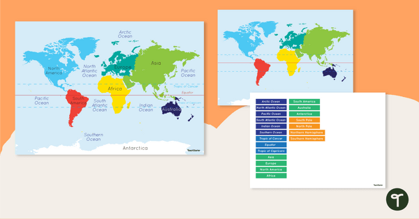
The World's Continents and Oceans Instructional Slide Deck
Explore the seven continents and five oceans of the world with this comprehensive teaching presentation.
- Plus Plan
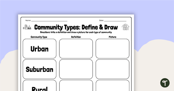
Community Types: Define and Draw
Draw and write about rural, urban, and suburban communities with a graphic organizer.
- Plus Plan
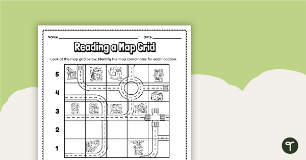
Reading a Map Grid Worksheet
Develop elementary grade map skills with a coordinate grid worksheet.
- Plus Plan

Google Interactive - Regions of the United States
Practice identifying states in the five regions of the United States with a Google Interactive activity.
- Plus Plan
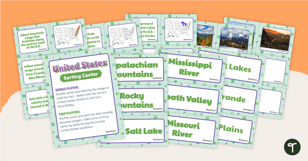
U.S. Land Features Sorting Center
Apply knowledge of the rivers, mountains, and physical features in the United States with a sorting activity.