Maps Teaching Resources for 6th Grade
- Plus Plan
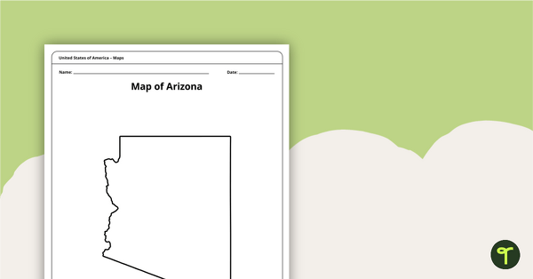
Map of Arizona Template
A blank map of Arizona to use during Geography lessons.
- Plus Plan
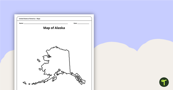
Printable Map of Alaska - Outline
Print an Alaska state map outline to jump-start your students into state research projects.
- Plus Plan
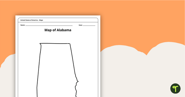
Alabama State Map Template
Download a blank map of Alabama for the classroom. The printable PDF is perfect for student research projects and map skills lessons.
- Plus Plan
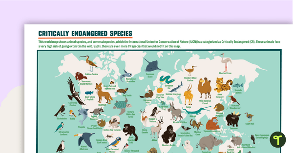
Critically Endangered Species Map
Use this endangered species world map when exploring animals that have been placed on the Critically Endangered list.
- Plus Plan
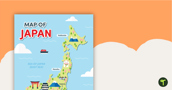
Map of Japan
A map of Japan featuring the names of the main islands and well-known landmarks.
- Plus Plan
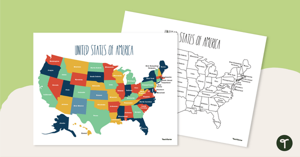
Labeled Map of the United States
Teach your students about the geography of the United States of America with this detailed map.
- Plus Plan
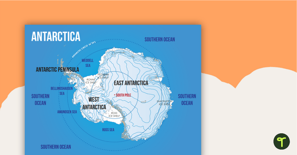
Map of Antarctica
A map showing the layout and major features of Antarctica.
- Plus Plan
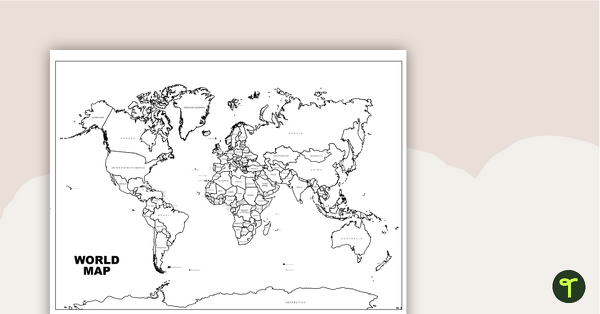
World Map with Countries Labeled
Print a labeled world map for the classroom with the various countries of the world.
- Plus Plan
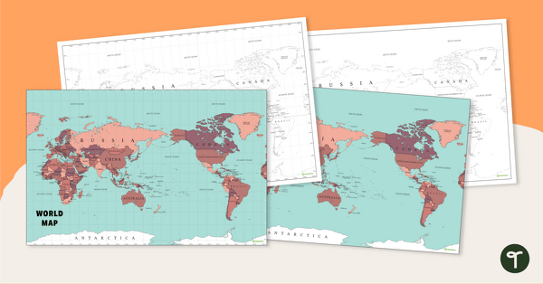
World Map - Continents, Oceans, and Countries
Teach your students about the continents, oceans, and countries of the world with this highly detailed map.
- Plus Plan
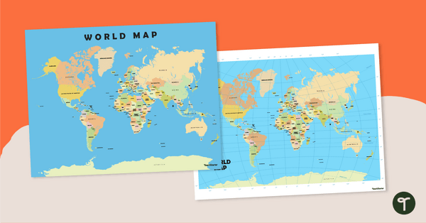
World Map Poster
Teach your students about the continents and countries of the world with this detailed map.
- Plus Plan
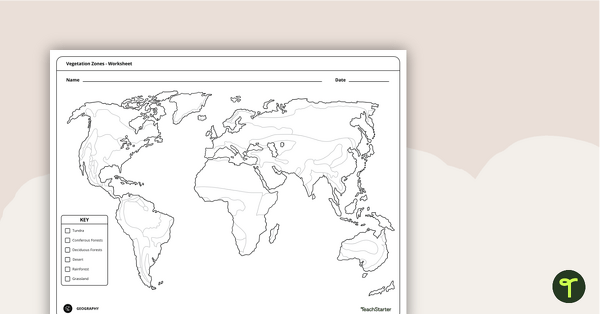
World Vegetation Zones - Mapping Template
Locate and explore different vegetation zones around the world with this mapping worksheet.
- Plus Plan
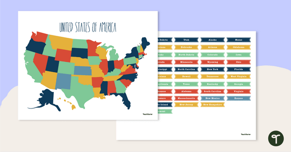
Map of The United States - Labeling Activity
Discover the location and position of America's states with this labeling activity.
- Plus Plan
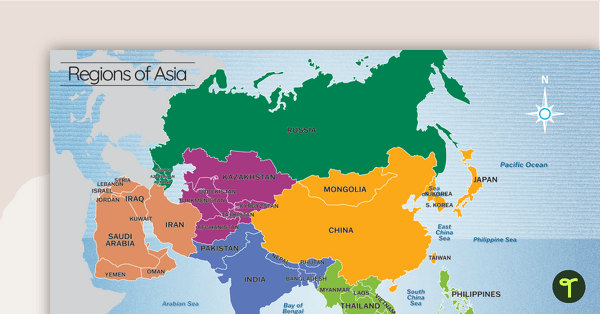
Map of the Regions of Asia
A map showing the layout, regions and major countries of Asia.