Continents and Oceans Teaching Resources
Browse printable worksheets, activities and more ways to bring the continents and oceans into your elementary classroom this school year as you take your students on an adventure around the world!
Dive into the five named oceans and traverse the seven continents with curriculum-aligned teaching resources created by teachers for teachers. With editable and differentiated options available, these geography resources are designed to cut down on your lesson planning time and help you spark more "aha" moments in your classroom.
New to teaching this portion of the social studies curriculum, or looking for fresh ideas to engage your students? Read on for a primer from our teacher team, including definitions of oceans and continents that you can share with your students and handy lists to remember the order of the oceans from largest to smallest!
What Are Continents? A Definition for Kids
Let's get started with a kid-friendly definition of continents that you can use to introduce this concept to your students.
Continents are very big pieces of land on our planet Earth that are separated by big oceans or seas.
Each continent has its own unique features like mountains, rivers, forests, and deserts, and many different kinds of animals and plants live there. People from all over the world live on these continents and have their own languages, cultures, and traditions.
Most continents are also home to many different countries, and each of those countries has its own history, language and traditions. Australia is an exception — it is both a continent and a country!

Australia is not just a continent. It is a country too!
How Many Continents Are There?
The concept of continents has evolved over time, and there are different ways to define them. Some geographers consider Europe and Asia to be a single continent called Eurasia, while others consider North and South America to be a single continent called America.
However, the seven-continent model is the most widely recognized and used, including here in the US.
What Are the 7 Continents in Alphabetical Order?
There are a few different ways to group the seven continents to make them easy for your students to remember. For example, here is a list of all seven, in alphabetical order:
- Africa
- Antarctica
- Asia
- Australia
- Europe
- North America
- South America
What Are the 7 Continents From Largest to Smallest?
There are pretty big differences in the seven continents, something students will be able to see on a map. But just how big? Let's take a look at all seven when we consider their order from largest to smallest!
- Asia is the largest continent with an area of approximately 17.18 million square miles. It is home to more than 4.5 billion people, making it the most populous continent on Earth.
- Africa is the second-largest continent, and it covers an area of approximately 11.7 million square miles. It is home to over 1.3 billion people and is the world's second-most populous continent.
- North America ranks third in continent size, covering an area of approximately 9.46 million square miles. It is home to over 579 million people.
- South America is the fourth-largest continent, covering an area of approximately 6.89 million square miles. Even at fourth, this continent is home to more than 423 million people.
- Antarctica is the fifth-largest continent, covering an area of approximately 5.4 million square miles. It's the coldest and driest continent on Earth, and it also has the smallest population.
- Europe is the sixth-largest continent, covering an area of approximately 3.93 million square miles. It's the home of more than 746 million people.
- Australia is the smallest continent, covering an area of approximately 3.31 million square miles. The home of the country of Australia is also the world's smallest inhabited continent, with a population of just over 24 million people.

The continent of Africa may be first on the list of continents in alphabetical order, but it's only second in terms of its size.
What Are Oceans? A Definition for Kids
Of course, we know you know this one, teachers! But here's a kid-friendly definition of oceans that you can use when you're first introducing the concept of oceans to your class.
Oceans are gigantic bodies of water that cover most of the Earth's surface.
There are five oceans scattered around the world:
- Atlantic Ocean
- Indian Ocean
- Southern Ocean
- Arctic Ocean
- Pacific Ocean
These oceans are extremely deep and have a lot of different types of animals living in them, including fish, whales and dolphins. Oceans also have waves.
How Many Oceans Are There?
Yes, we already mentioned there are five, but you may have learned just four when you were in second or third grade.
So why are we listing one more?
That's because the Southern Ocean was only recognized by the International Hydrographic Organization in 2000. Known as the fifth ocean, it is located around the continent of Antarctica.
What Are the 5 Oceans From Largest to Smallest?
Pardon the pun, but let's go deeper. The oceans vary pretty significantly in size. Here's a look at their order from largest to smallest:
- Pacific Ocean — 63,784,077 sq mi (165,250,000 sq km)
- Atlantic Ocean — 41,100,000 sq mi (106,460,000 sq km)
- Indian Ocean — 28,400,000 sq mi (73,556,000 sq km)
- Southern Ocean — 7,848,299 sq mi (20,327,000 sq km)
- Arctic Ocean — 5,427,000 sq mi (14,056,000 sq km)
Why Do We Teach About Oceans and Continents?
Like any lesson we teach, we know there's a reason, but sometimes you have a student who really wants you to spell out the "why." Need a ready answer? Don't worry! We have you covered!
Learning about the oceans and the continents helps us to understand:
- Earth's Geography — When you put these bodies of land and bodies of water together, you have a framework to understand how land and water are distributed on our planet.
- Biodiversity — The oceans and continents are home to a wide variety of plants and animals. When we start to break down each, students are able to see just how diverse the flora and fauna are from place to place across the globe!
- The Human Impact — Our actions can have a significant impact on the oceans and continents, and teaching about them helps our students understand the importance of environmental conservation and how the actions we take as individual humans can affect ecosystems and the natural world.
- History and Culture — The oceans and continents have played a significant role in the development of human history and culture. Through this lens, we offer our students a deeper understanding of how civilizations have developed and interacted with their environments.
- Free Plan

Labeling the Continents and Oceans Worksheets
Turn geography into a fun and educational learning experience by using our free Continents and Oceans worksheets!
- Free Plan
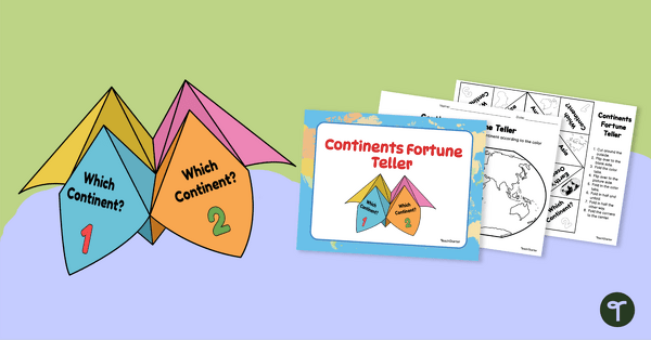
7 Continents Fortune Teller
Use this Continents of the World fortune teller and summary sheet as a fun geography review activity.
- Plus Plan
World Map with Countries Labeled
Print a labeled world map for the classroom with the various countries of the world.
- Plus Plan
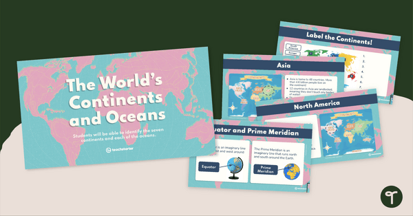
The World's Continents and Oceans Instructional Slide Deck
Explore the seven continents and five oceans of the world with this comprehensive teaching presentation.
- Plus Plan
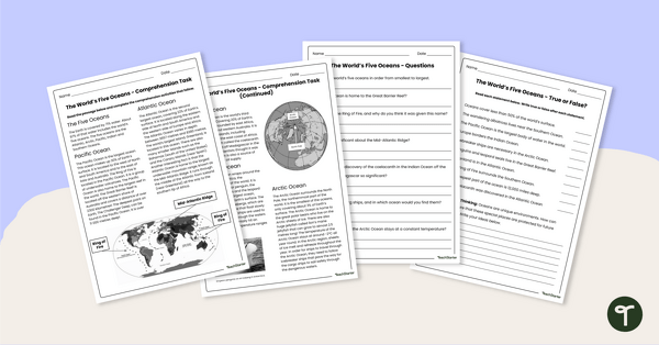
The World's Oceans - Comprehension Worksheet
Explore the world’s five oceans with this detailed comprehension passage and related questions.
- Plus Plan
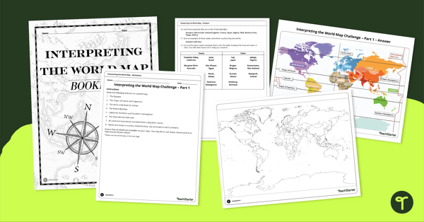
Interpreting the World Map Worksheet Pack
Print a pack of worksheets to quiz your students on their knowledge of world map features.
- Plus Plan
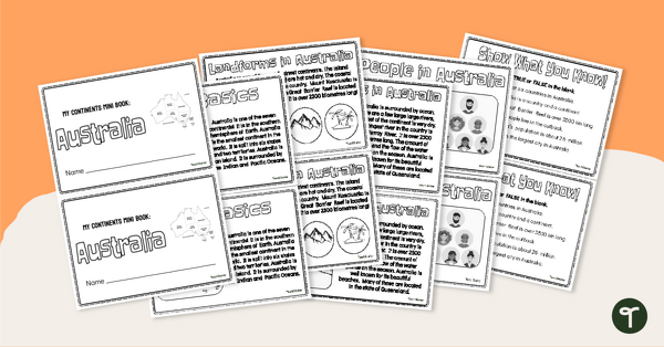
The Continent of Australia - Mini-Book
Explore the wonders and delights of the continent of Australia with this informative printable mini-book.
- Plus Plan
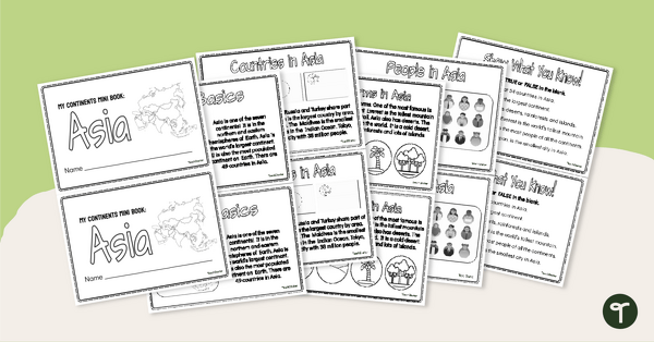
The Continent of Asia - Mini-Book
Explore the wonders and delights of the continent of Asia with this informative printable mini-book.
- Plus Plan
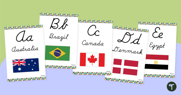
Flags of the World - Classroom Alphabet Line
Display the alphabet in print or cursive with a unique Flags of the World Alphabet Line.
- Plus Plan
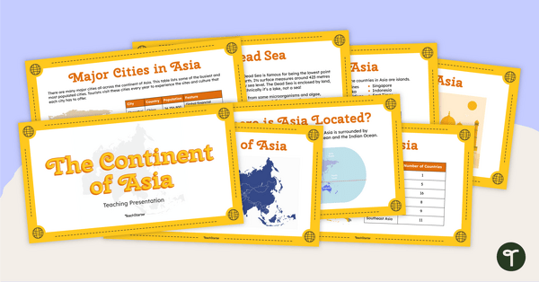
The Continent of Asia - Teaching Presentation
Familiarize your students with the physical and human geography of Asia with this comprehensive instructional slide deck.
- Free Plan
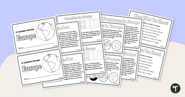
The Continent of Europe - Mini-Book
Explore the wonders and delights of the continent of Europe with this informative printable mini-book.
- Plus Plan
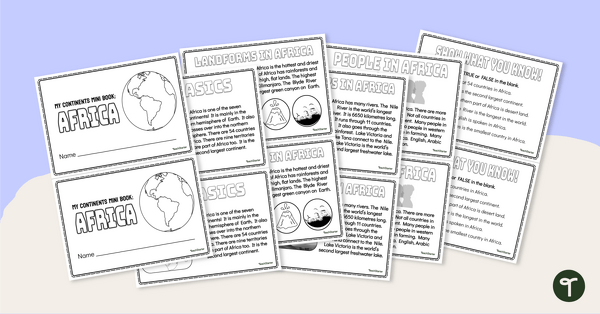
The Continent of Africa - Mini-Book
Explore the wonders and delights of the continent of Africa with this informative printable mini-book.
- Plus Plan
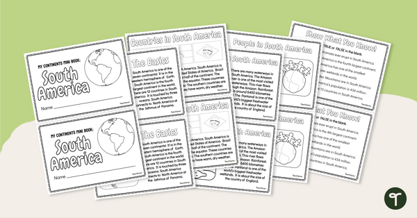
The Continent of South America - Mini-Book
Explore the wonders and delights of the continent of South America with this informative printable mini-book.
- Plus Plan
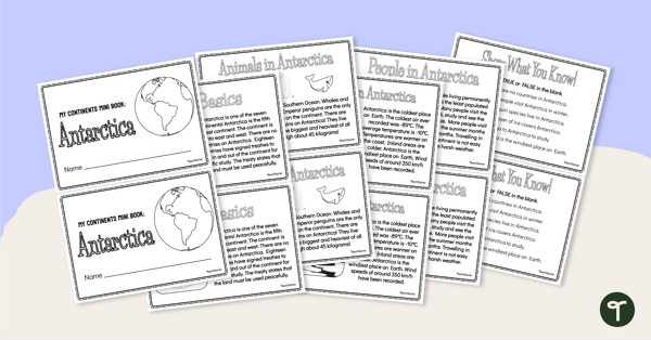
The Continent of Antarctica - Mini-Book
Explore the wonders and delights of the continent of Antarctica with this informative printable mini-book.
- Plus Plan
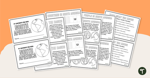
The Continent of North America - Mini-Book
Explore the wonders and delights of the continent of North America with this informative printable mini-book.
- Plus Plan
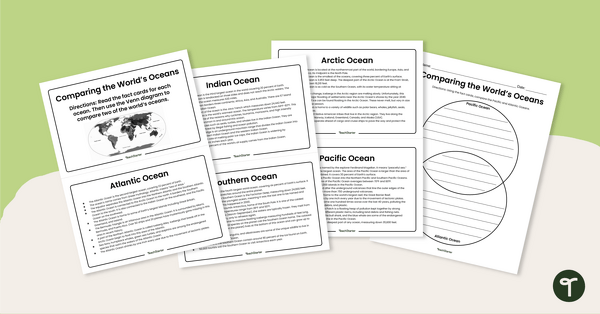
The World's Oceans - Compare and Contrast Activity
Compare and contrast the world’s five oceans with this set of information cards and Venn diagram template.
- Plus Plan
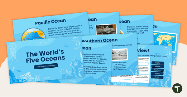
The World's Five Oceans - Instructional Slide Deck
Explore the world’s five oceans with this comprehensive slide deck.
- Plus Plan

Blank Map of North America
Grab a blank map of North America created by teachers for your lesson plans. Available in Google Slides or as a printable PDF, it's packed with possibility!
- Plus Plan
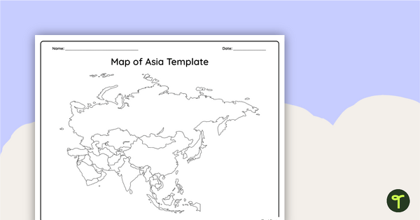
Blank Map of Asia
Use this printable and digital blank map of Asia for quizzes, labeling activities and to have students and represent data about the location of significant places.
- Plus Plan

Blank Map of Antarctica
Record and represent data about the location of significant places with this printable blank map of the continent of Antarctica.
- Plus Plan

Blank Map of Europe Template (Printable & Digital)
Get a printable & digital blank map of Europe for your continent and oceans lessons!
- Plus Plan
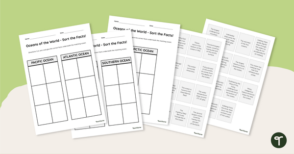
Oceans of the World - Cut and Paste Worksheet
Explore some key facts about the world’s five oceans with this cut-and-paste worksheet.
- Plus Plan
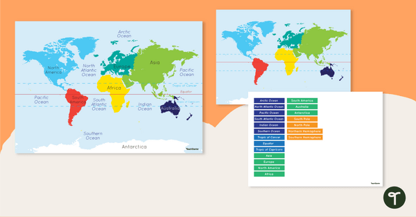
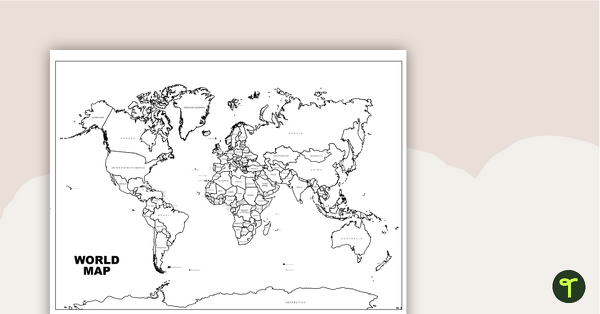
Map of the World - Labeling Activity
Discover and label the world's continents and oceans with this blank map of the world.
- Plus Plan
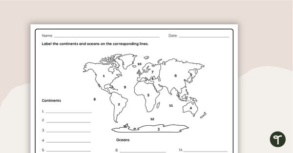
Where in the World? - Worksheet
Practice labeling the continents and oceans on a map with this worksheet.
- Plus Plan
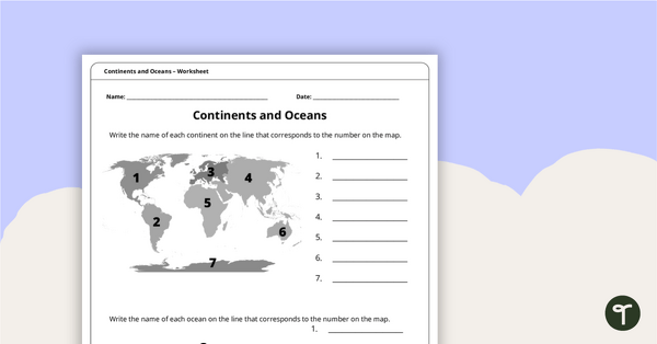
Continents and Oceans Worksheet
A worksheet to practice identifying the 7 continents and 5 oceans.
- Plus Plan
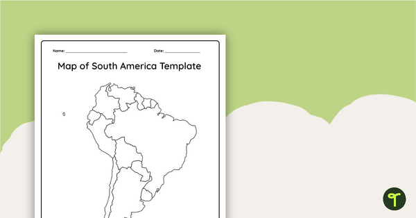
Blank Map of South America
This blank map of South America is perfect for elementary and middle school classes with editable Google Slides and printable PDF versions.
- Plus Plan
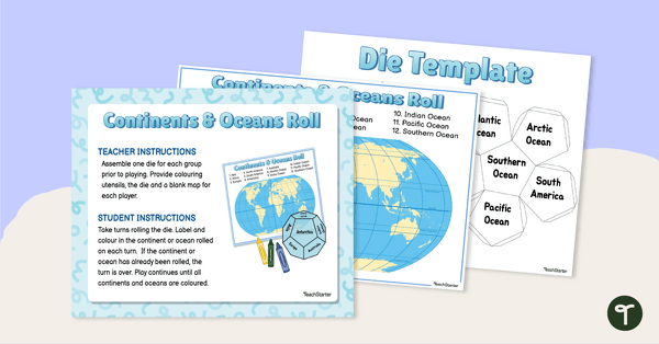
Continents and Oceans Roll and Color Game
Learn to identify the continents and oceans of the world with a Continents and Oceans Roll and Color Game.
- Plus Plan
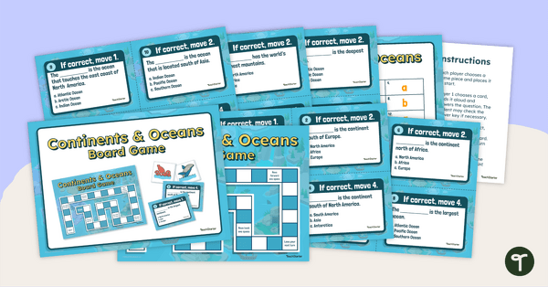
Continents and Oceans Board Game
Make world geography fun by using our Continents and Oceans Board Game!
- Plus Plan
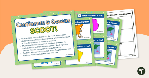
Continents and Oceans Scoot! Game
Learn to locate and identify the continents and oceans on Earth with a game of SCOOT!
- Free Plan
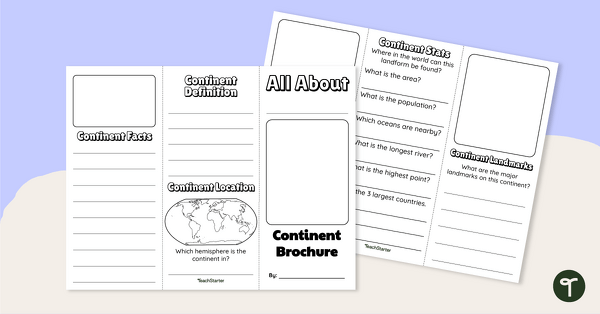
World Continents Brochure Template
Replace your continents worksheets with a printable continents brochure project.
- Plus Plan
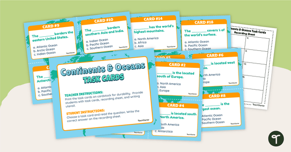
Continents and Oceans Task Cards
Practice identifying and describing the 7 continents and 5 oceans with a set of task cards.
- Plus Plan
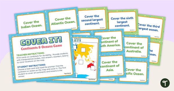
Cover It! Continents and Oceans Game
Turn geography into a fun and educational learning experience using our Cover It! Continents and Oceans Game