Geography Teaching Resources for 3rd Grade
- Plus Plan
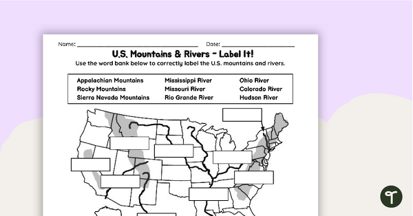
U.S. Mountains and Rivers Worksheets
Locate rivers and mountains on a U.S. physical map with two labeling worksheets.
- Plus Plan

Looking at Landforms Worksheet
Identify the major landforms of the world with a labeling worksheet.
- Plus Plan
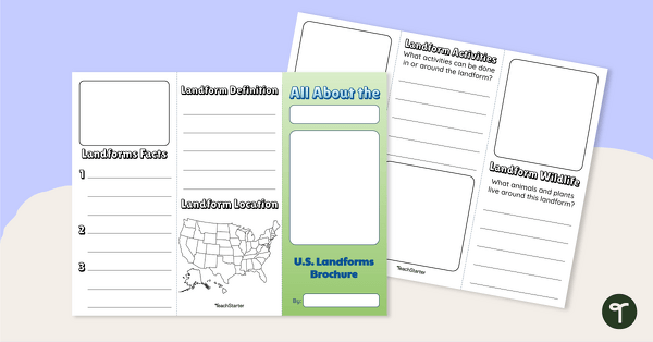
U.S. Landforms Brochure
Research and present knowledge of famous landforms in the United States with a brochure project.
- Plus Plan
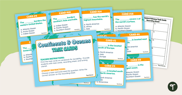
Continents and Oceans Task Cards
Practice identifying and describing the 7 continents and 5 oceans with a set of task cards.
- Plus Plan
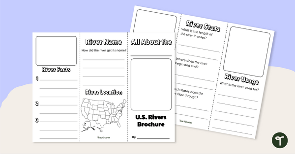
Major U.S. Rivers Brochure Template
Research the major rivers in the United States with a brochure project.
- Free Plan
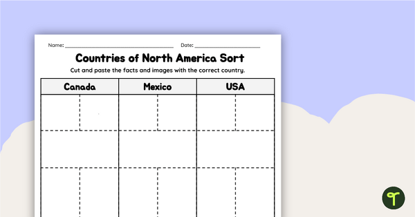
Countries of North America Sort
Practice identifying North American countries' locations, flags, and symbols with a quick and easy sorting worksheet.
- Plus Plan
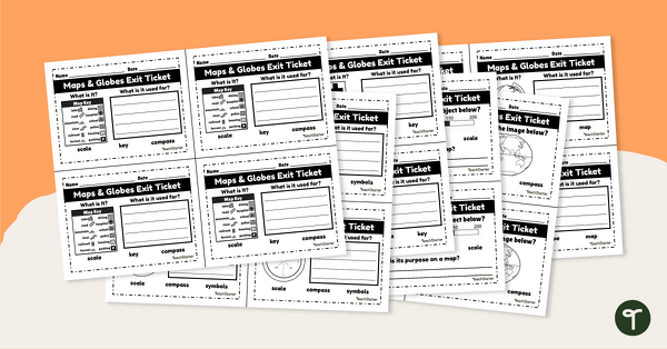
Maps and Globes-Exit Tickets
Assess student map and globe skills with twenty exit ticket worksheets.
- Plus Plan
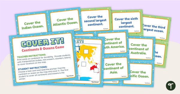
Cover It! Continents and Oceans Game
Turn geography into a fun and educational learning experience using our Cover It! Continents and Oceans Game
- Plus Plan
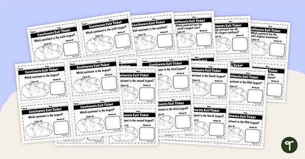
World Continents and Oceans Exit Tickets
Determine your students' mastery of Geography concepts with a set of twenty continents and oceans exit tickets.
- Plus Plan
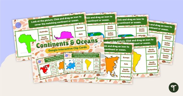
Continents and Oceans Interactive Clip Card Center
Turn geography into a digital learning experience with a Google Slides Interactive Continents and Oceans activity!
- Plus Plan
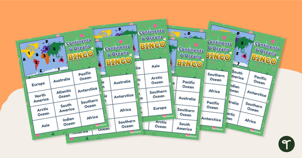
Continents and Oceans Bingo - Geography Game
Turn geography into a fun and educational learning experience by using our Continents and Oceans Bingo Game!
- Plus Plan
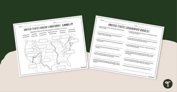
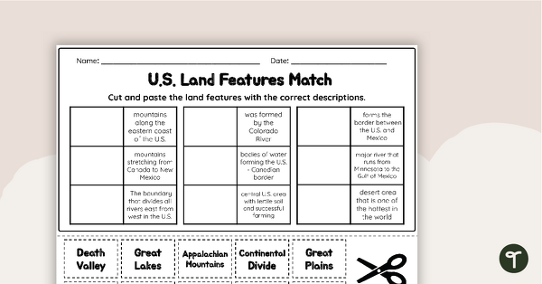
Major U.S. Land Features Worksheets
Discover and identify the major rivers, mountains, and landforms in the United States with an easy-to-use set of worksheets.
- Plus Plan
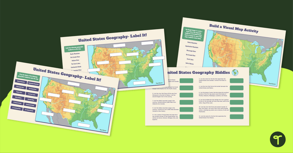
Major U.S. Landforms Google Interactive
Practice identification of the major rivers, mountains, and land features in the United States with a Google Interactive activity.
- Plus Plan
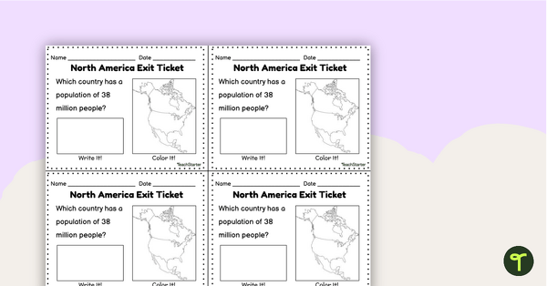
Countries of North America Exit Tickets
Assess student knowledge of the features and countries in North America with quick and easy exit tickets.
- Plus Plan
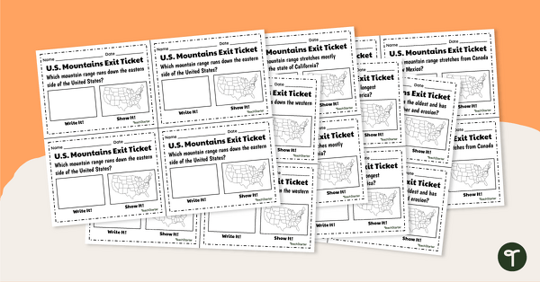
U.S. Mountain and River Exit Tickets
Assess your students’ knowledge of the major rivers and mountains in the United States with a set of exit tickets.
- Plus Plan
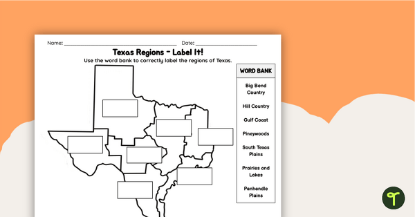
Labeling Texas Regions Worksheet
Supplement your Texas Social Studies curriculum with a region of Texas map labeling worksheet.
- Plus Plan
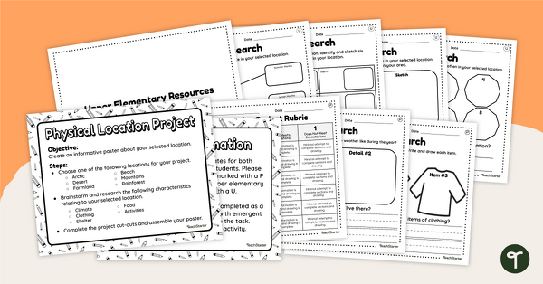
Differentiated Geographic Location Project-Primary and Upper Elementary
Uncover how geographic location affects the culture, customs, clothing, food, and overall lifestyle of humans with a differentiated research project.
- Plus Plan
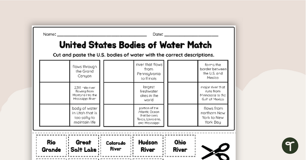
U.S. Geographic Features - Bodies of Water Worksheet
With this worksheet, students will understand reflexive pronouns and how they are used in sentences.
- Plus Plan
U.S. Land Features Matching Worksheet
Apply knowledge of the major U.S. rivers, mountains, and land features with a matching worksheet.
- Plus Plan
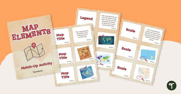
Elements of a Map Match-up Activity
Answer the question "What are the key elements of a map?" with a map element matching activity.
- Free Plan

Free U.S. Mountains, Rivers, and Land Features Worksheet
Apply knowledge of the major U.S. land features, mountains, and rivers with a map labeling worksheet.
- Plus Plan
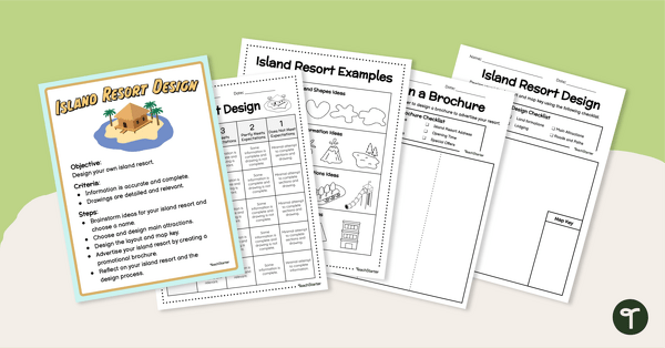
End of Year - Island Resort Design Project
Create and design your own Island Resort with a fun end of year art and STEM project for elementary students.
- Plus Plan
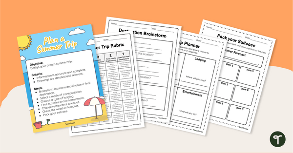
Plan Your Dream Vacation PDF / Slides Project
Prepare for a summer vacation with an end-of-the-year STEM activity.
- Plus Plan
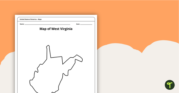
Blank Map of West Virginia Template
A blank map of West Virginia to use during Geography lessons.
- Plus Plan
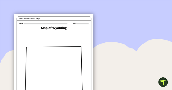
Blank Map of Wyoming Template
Download a blank Wyoming map for your lesson plans, student research projects and more!
- Plus Plan
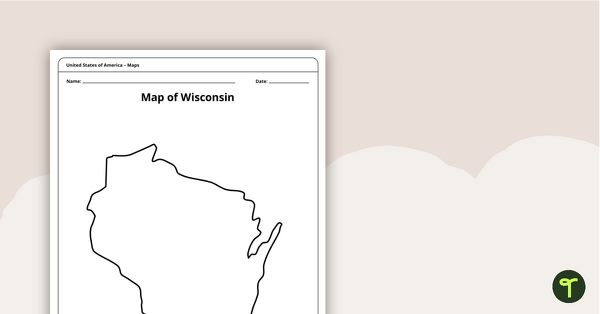
Map of Wisconsin Template
A blank map of Wisconsin to use during Geography lessons.
- Plus Plan
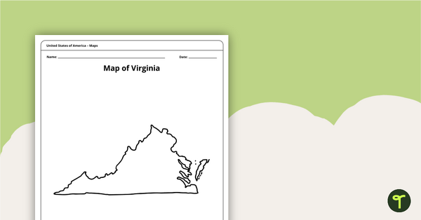
Blank Map of Virginia Template
A blank map of Virginia to use during Geography lessons.
- Plus Plan
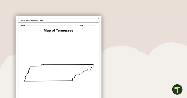
Map of Tennessee Template
A blank map of Tennessee to use during Geography lessons.
- Plus Plan
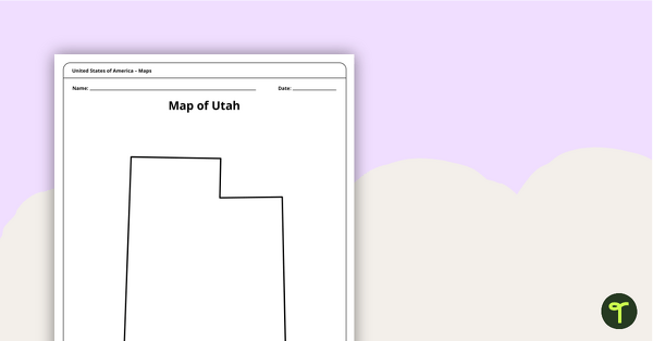
Map of Utah Template
A blank map of Utah to use during Geography lessons.
- Plus Plan
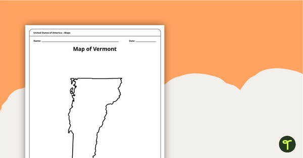
Map of Vermont Template
A blank map of Vermont to use during Geography lessons.
- Plus Plan
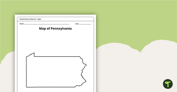
Map of Pennsylvania Template
A blank map of Pennsylvania to use during Geography lessons.
- Plus Plan
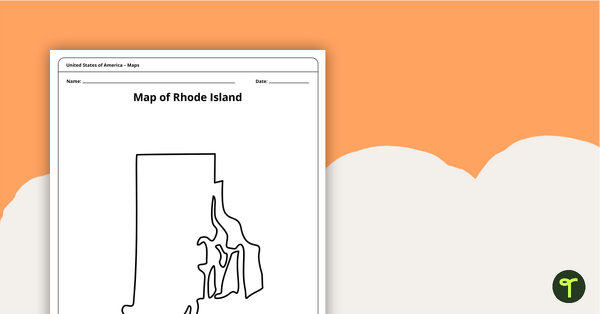
Map of Rhode Island Template
Download a printable blank map of Rhode Island to use during geography and Ocean State history lessons.