Geography Teaching Resources for 3rd Grade
- Plus Plan
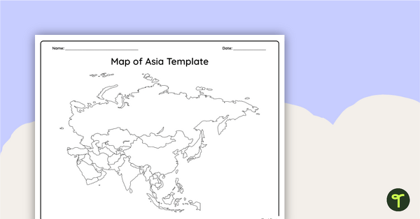
Blank Map of Asia
Use this printable and digital blank map of Asia for quizzes, labeling activities and to have students and represent data about the location of significant places.
- Plus Plan

Blank Map of Europe Template (Printable & Digital)
Get a printable & digital blank map of Europe for your continent and oceans lessons!
- Plus Plan
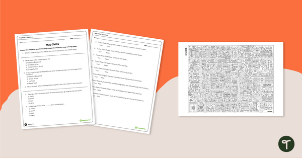
Community Giant Coloring Page and Map Skills Worksheet
An activity to practice map skills using a giant map of a community.
- Plus Plan
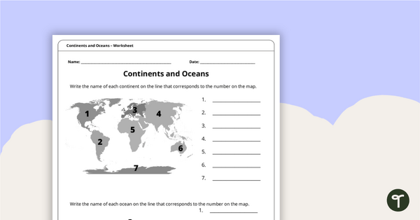
Continents and Oceans Worksheet
A worksheet to practice identifying the 7 continents and 5 oceans.
- Plus Plan

World Biomes Map
Locate and explore the different biomes of the world with this engaging classroom poster.
- Plus Plan
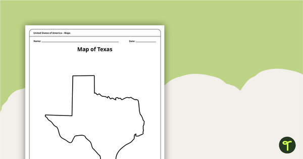
Outline of Texas - Printable Blank Map
A blank map of Texas to use during Geography lessons.
- Free Plan
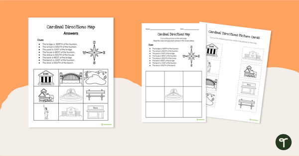
Cardinal Directions Worksheet for First Grade
Use cardinal directions to create a simple town map with this 2-page cut-and-paste activity sheet.
- Plus Plan
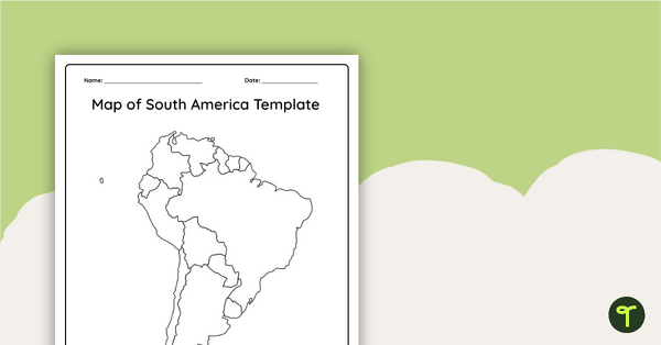
Blank Map of South America
This blank map of South America is perfect for elementary and middle school classes with editable Google Slides and printable PDF versions.
- Plus Plan
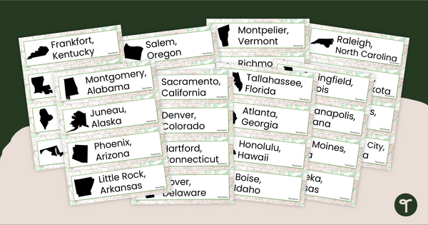
50 States and Capitals Word Wall Cards
Display the 50 states and capitals with 50 states map and word wall display.
- Plus Plan

Printable Map of Native American Tribes of North America
Print and use a detailed map showing the regions of native American tribes.
- Plus Plan
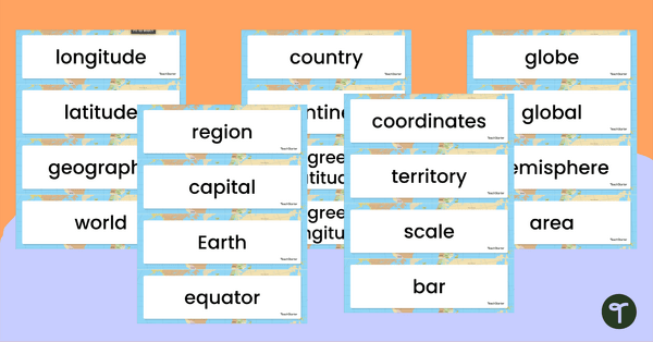
Geography Vocabulary Word Wall Cards
Print a set of 100 geography-related vocabulary word cards for a word wall.
- Plus Plan
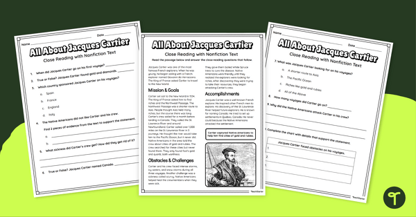
Jacques Cartier Comprehension Worksheets
Travel back in time to the Age of Exploration with a look into the life and accomplishments of Jacques Cartier.
- Plus Plan
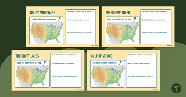
Major U.S. Landform Interactive Research Guide
Research and record facts and details about the different major mountains, rivers, lakes, and other landmarks in the U.S. with an interactive research guide.
- Plus Plan

U.S. Mountains and Rivers - Student Research Workbook
Research and write about the different major mountains, rivers, and land features in the United States with a printable workbook.
- Plus Plan
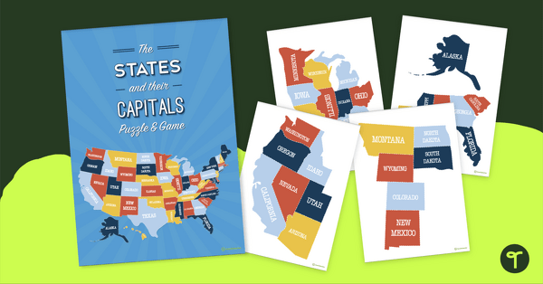
The States of America Puzzle
Explore the US states and state capitals with this fun and engaging puzzle.
- Plus Plan
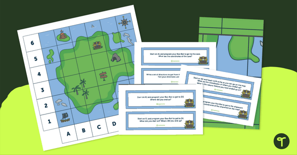
Treasure Map Coding Robot Mat
Implement coding for kids with coding robots and a printable coding robot map activity.
- Plus Plan
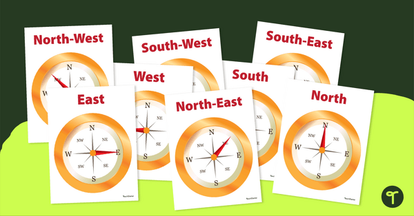
Cardinal and Intermediate Direction Posters - Compass Rose
Display these cardinal and intermediate directions posters when exploring the compass rose with your students.
- Plus Plan

Using Coordinate Grids-Map Skills Worksheets
A set of 13 worksheets to help teach map skills to students.
- Plus Plan
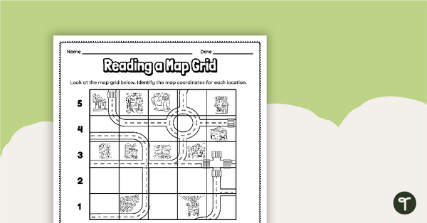
Reading a Map Grid Worksheet
Develop elementary grade map skills with a coordinate grid worksheet.
- Plus Plan
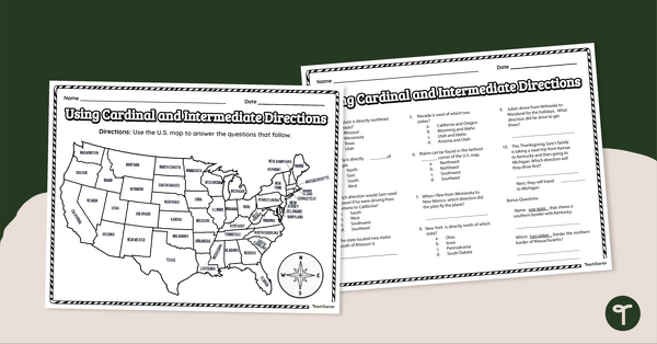
Using Cardinal and Intermediate Directions Worksheet
Use cardinal and intermediate directions to determine locations around the United States with a map reading worksheet.
- Plus Plan

13 Colonies Map Labeling Worksheet
Locate and identify the 13 original colonies of the United States with a map labeling worksheet.
- Plus Plan

13 Colonies Map — Labeled
Build understanding of Colonial America with a labeled 13 colonies map for the classroom.
- Plus Plan

13 Colonies Map - Blank
Build understanding of Colonial America with a blank 13 colonies map.
- Plus Plan
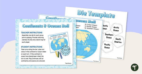
Continents and Oceans Roll and Color Game
Learn to identify the continents and oceans of the world with a Continents and Oceans Roll and Color Game.
- Plus Plan
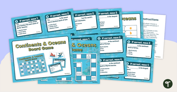
Continents and Oceans Board Game
Make world geography fun by using our Continents and Oceans Board Game!
- Plus Plan

Google Interactive - Regions of the United States
Practice identifying states in the five regions of the United States with a Google Interactive activity.
- Plus Plan
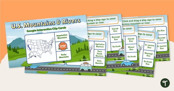
U.S. Mountain and River Interactive Clip Cards
Identify the major rivers and mountains in the United States with a set of Google Slides interactive clip cards.
- Plus Plan
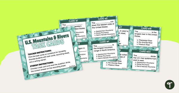
U.S. Mountains and Rivers - Task Cards
Identify the major mountain ranges and rivers in the United States with a set of descriptive task cards.
- Plus Plan
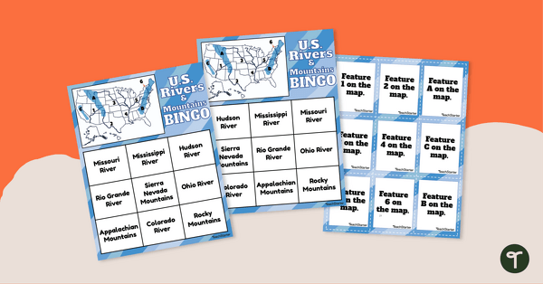
U.S. Rivers and Mountains Bingo Game
Practice identifying the major rivers and mountains in the United States with a Bingo Game.
- Plus Plan
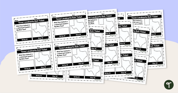
Texas Landmarks Exit Tickets
Supplement your Texas history and geography lessons with a group of Texas Landmark exit tickets.
- Plus Plan
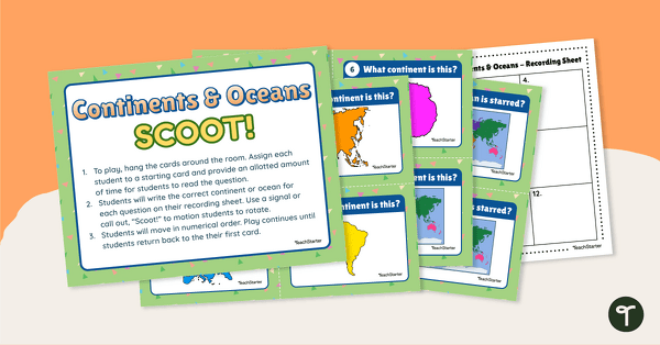
Continents and Oceans Scoot! Game
Learn to locate and identify the continents and oceans on Earth with a game of SCOOT!
- Plus Plan
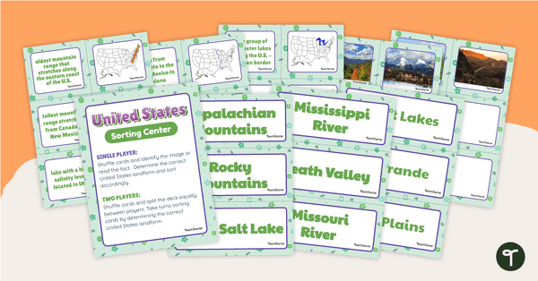
U.S. Land Features Sorting Center
Apply knowledge of the rivers, mountains, and physical features in the United States with a sorting activity.