World Maps Teaching Resources for 5th Grade
- Plus Plan
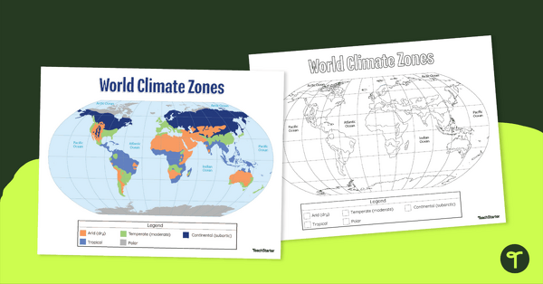
Climate Zone Map — Printable Classroom Resource
Print a climate zone map for the classroom to support lessons about the 6 climate types.
- Plus Plan
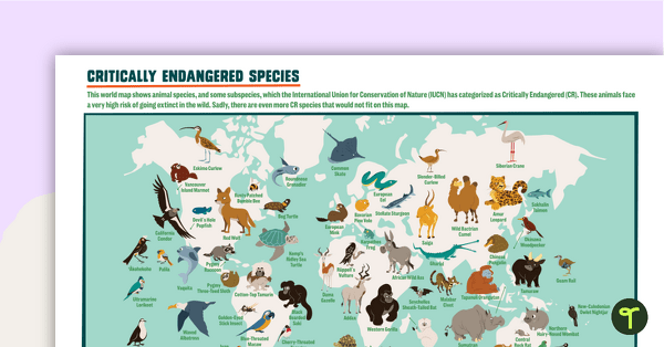
Critically Endangered Species Map
Use this endangered species world map when exploring animals that have been placed on the Critically Endangered list.
- Plus Plan

Blank Map of North America
Grab a blank map of North America created by teachers for your lesson plans. Available in Google Slides or as a printable PDF, it's packed with possibility!
- Plus Plan
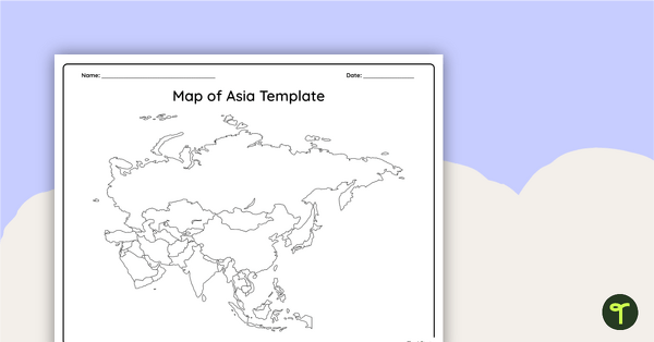
Blank Map of Asia
Use this printable and digital blank map of Asia for quizzes, labeling activities and to have students and represent data about the location of significant places.
- Plus Plan

Blank Map of Antarctica
Record and represent data about the location of significant places with this printable blank map of the continent of Antarctica.
- Plus Plan

Blank Map of Europe Template (Printable & Digital)
Get a printable & digital blank map of Europe for your continent and oceans lessons!
- Plus Plan
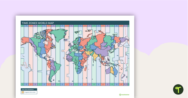
Printable Time Zone World Map
A poster to display in the classroom when locating the different time zones of the world.
- Plus Plan

World Biomes Map
Locate and explore the different biomes of the world with this engaging classroom poster.
- Plus Plan
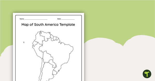
Blank Map of South America
This blank map of South America is perfect for elementary and middle school classes with editable Google Slides and printable PDF versions.
- Plus Plan
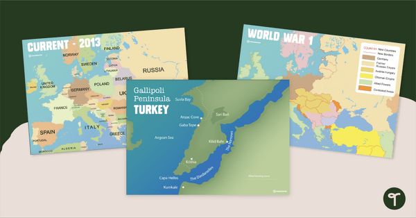
Printable World War 1 Map of Europe
Printable map of Europe and World War 1 to use in the classroom when learning about WW1.
- Plus Plan
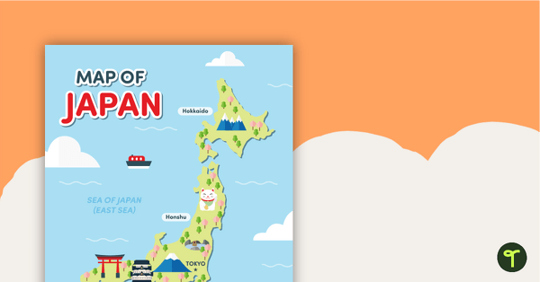
Map of Japan
A map of Japan featuring the names of the main islands and well-known landmarks.
- Plus Plan
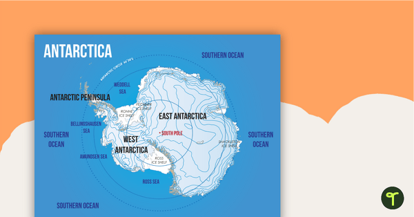
Map of Antarctica
A map showing the layout and major features of Antarctica.
- Plus Plan
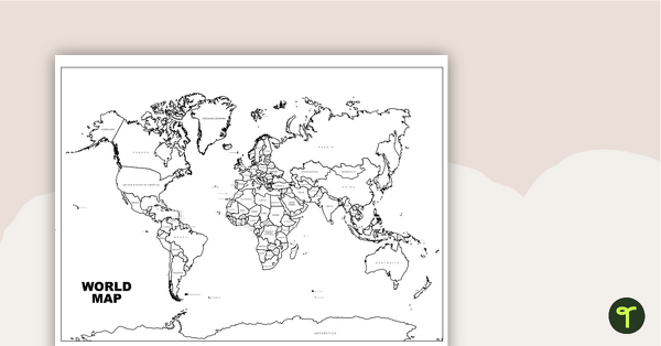
World Map with Countries Labeled
Print a labeled world map for the classroom with the various countries of the world.
- Plus Plan
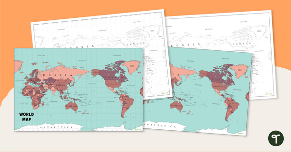
World Map - Continents, Oceans, and Countries
Teach your students about the continents, oceans, and countries of the world with this highly detailed map.
- Plus Plan
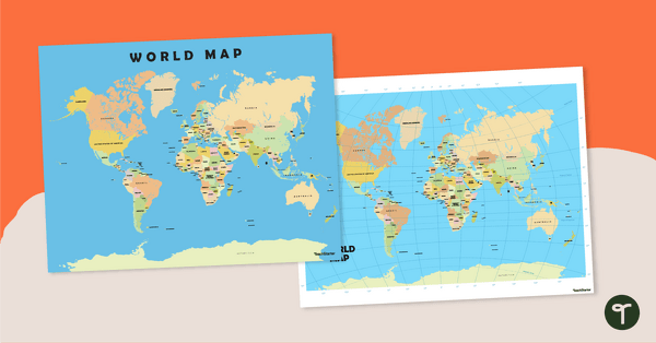
World Map Poster
Teach your students about the continents and countries of the world with this detailed map.
- Plus Plan

Blank Map of the World
Teach your students about the world’s seven continents and five oceans with this blank map of the world for labeling.
- Plus Plan
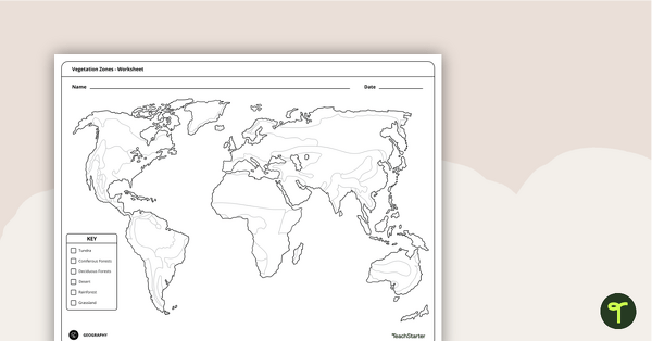
World Vegetation Zones - Mapping Template
Locate and explore different vegetation zones around the world with this mapping worksheet.
- Plus Plan
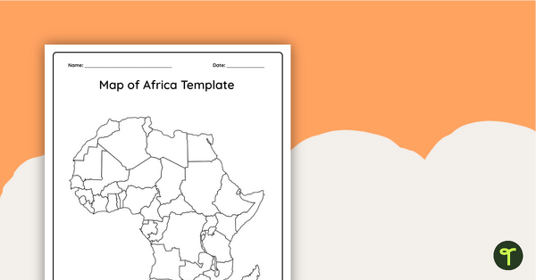
Blank Map of Africa Template
Record and represent data about the location of significant places with this printable blank map of the continent of Africa.
- Plus Plan
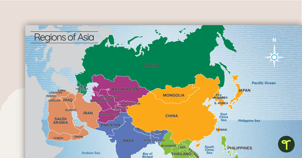
Map of the Regions of Asia
A map showing the layout, regions and major countries of Asia.