Maps Teaching Resources
- Free Plan

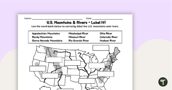
Free U.S. Mountains, Rivers, and Land Features Worksheet
Apply knowledge of the major U.S. land features, mountains, and rivers with a map labeling worksheet.
- Plus Plan
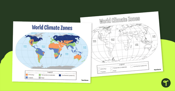
Climate Zone Map — Printable Classroom Resource
Print a climate zone map for the classroom to support lessons about the 6 climate types.
- Plus Plan

World Biomes Map
Locate and explore the different biomes of the world with this engaging classroom poster.
- Plus Plan

Printable Map of Native American Tribes of North America
Print and use a detailed map showing the regions of native American tribes.
- Plus Plan
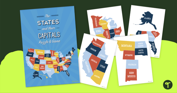
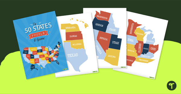
The States of America Puzzle
Explore the US states and state capitals with this fun and engaging puzzle.
- Plus Plan

13 Colonies Map - Blank
Build understanding of Colonial America with a blank 13 colonies map.
- Plus Plan
U.S. Mountains and Rivers Worksheets
Locate rivers and mountains on a U.S. physical map with two labeling worksheets.
- Plus Plan
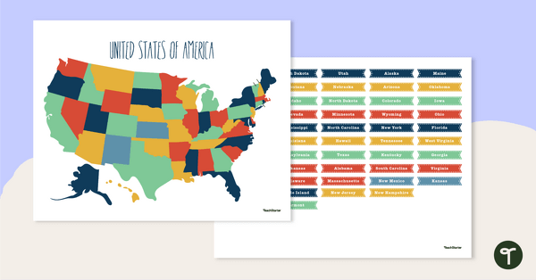
Map of The United States - Labeling Activity
Discover the location and position of America's states with this labeling activity.
- Plus Plan

Map of Washington With Counties and Capital
Download the best printable map of Washington state, including capital city and county lines, for your geography lessons.
- Plus Plan

Blank Map of North America
Grab a blank map of North America created by teachers for your lesson plans. Available in Google Slides or as a printable PDF, it's packed with possibility!
- Plus Plan
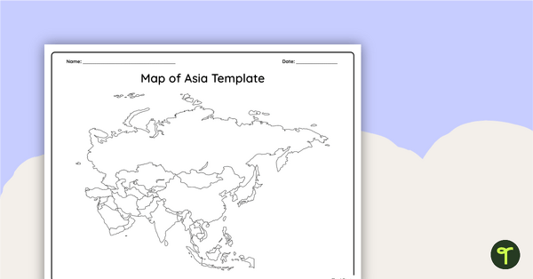
Blank Map of Asia
Use this printable and digital blank map of Asia for quizzes, labeling activities and to have students and represent data about the location of significant places.
- Plus Plan

Blank Map of Antarctica
Record and represent data about the location of significant places with this printable blank map of the continent of Antarctica.
- Plus Plan

Blank Map of Europe Template (Printable & Digital)
Get a printable & digital blank map of Europe for your continent and oceans lessons!
- Plus Plan
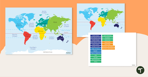
Map of the World - Labeling Activity
Discover and label the world's continents and oceans with this blank map of the world.
- Plus Plan
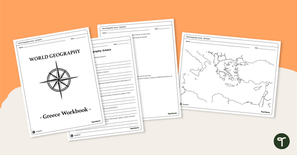
Features of Greece Map & Geography Worksheet Pack
Print a map of Greece and pack of geography worksheets for 6th grade.
- Plus Plan
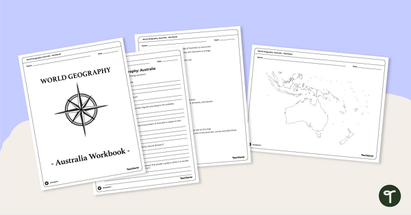
Physical Features of Australia – Geography Worksheets
A printable pack of worksheets for students to learn about Australia's geography and complete a labeled map of Australia.
- Plus Plan
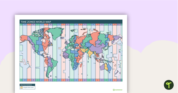
Printable Time Zone World Map
A poster to display in the classroom when locating the different time zones of the world.
- Plus Plan
Map of the U.S. Puzzle and Game
A fun puzzle and game to use in the classroom when learning the names and geographical locations of the American States.
- Plus Plan
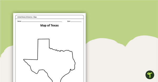
Outline of Texas - Printable Blank Map
A blank map of Texas to use during Geography lessons.
- Plus Plan
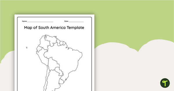
Blank Map of South America
This blank map of South America is perfect for elementary and middle school classes with editable Google Slides and printable PDF versions.
- Plus Plan
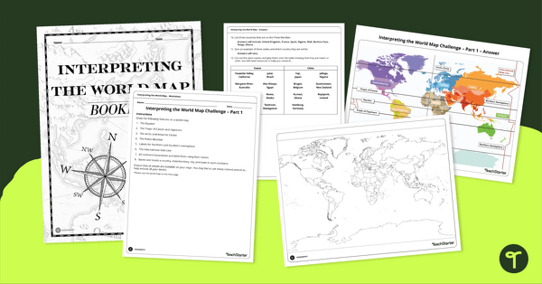
Interpreting the World Map Worksheet Pack
Print a pack of worksheets to quiz your students on their knowledge of world map features.
- Plus Plan
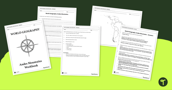
Analyze and Label South America Map & Andes Mountain Worksheet Pack
Explore civilizations in the Andes Mountains with students using the printable map and worksheet pack for sixth graders.
- Plus Plan
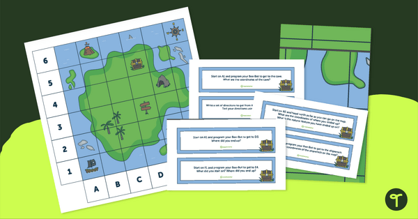
Treasure Map Coding Robot Mat
Implement coding for kids with coding robots and a printable coding robot map activity.
- Plus Plan
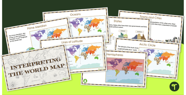
Interpreting the World Map and Map Features – Slide Deck
Explore the key map features of world maps with this 18-slide PowerPoint presentation.
- Plus Plan
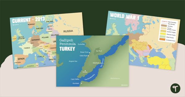
Printable World War 1 Map of Europe
Printable map of Europe and World War 1 to use in the classroom when learning about WW1.
- Plus Plan

13 Colonies Map Labeling Worksheet
Locate and identify the 13 original colonies of the United States with a map labeling worksheet.
- Plus Plan

Google Interactive - Regions of the United States
Practice identifying states in the five regions of the United States with a Google Interactive activity.
- Plus Plan
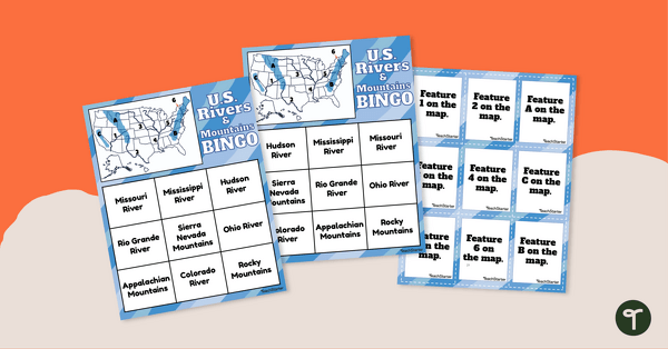
U.S. Rivers and Mountains Bingo Game
Practice identifying the major rivers and mountains in the United States with a Bingo Game.
- Plus Plan
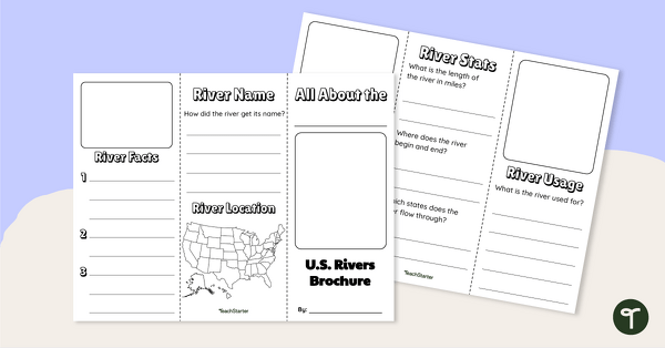
Major U.S. Rivers Brochure Template
Research the major rivers in the United States with a brochure project.
- Plus Plan
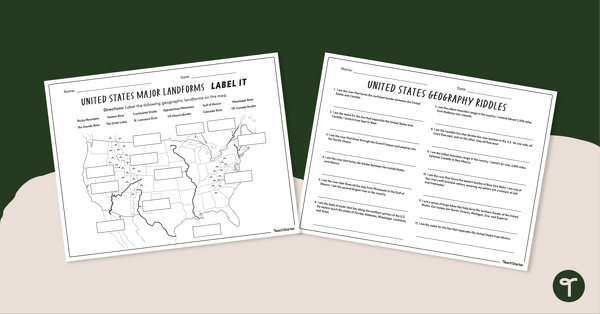
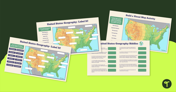
Major U.S. Land Features Worksheets
Discover and identify the major rivers, mountains, and landforms in the United States with an easy-to-use set of worksheets.
- Plus Plan
Major U.S. Landforms Google Interactive
Practice identification of the major rivers, mountains, and land features in the United States with a Google Interactive activity.
- Plus Plan
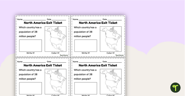
Countries of North America Exit Tickets
Assess student knowledge of the features and countries in North America with quick and easy exit tickets.